© Terra Dinarica - planinarenje .ba
© Terra Dinarica - planinarenje .ba
© Terra Dinarica - planinarenje .ba
© Terra Dinarica - planinarenje .ba
© Terra Dinarica - planinarenje .ba
© Terra Dinarica - planinarenje .ba


- Lyhyt kuvaus
-
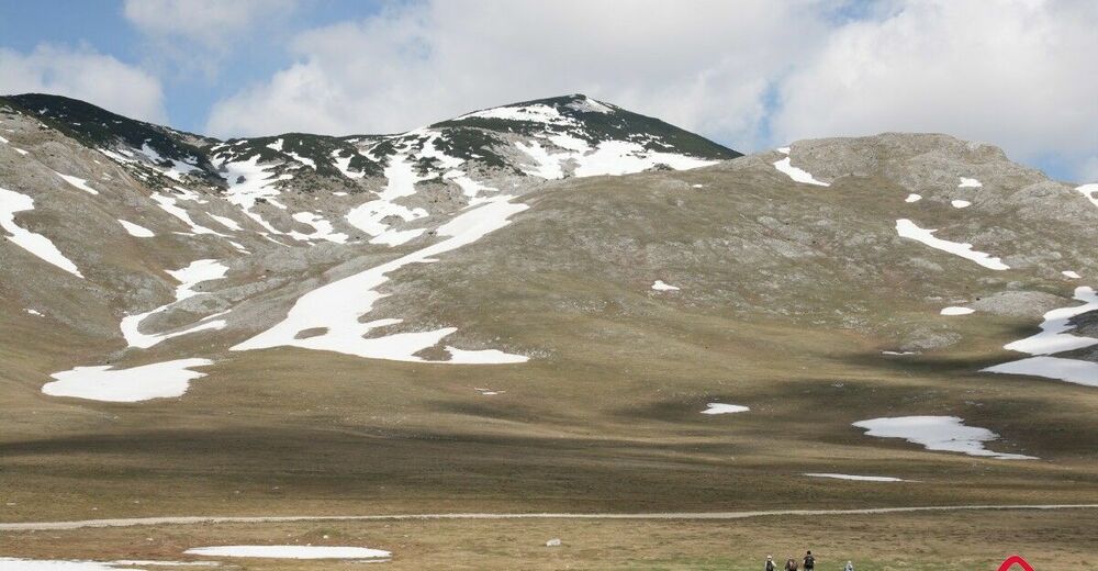
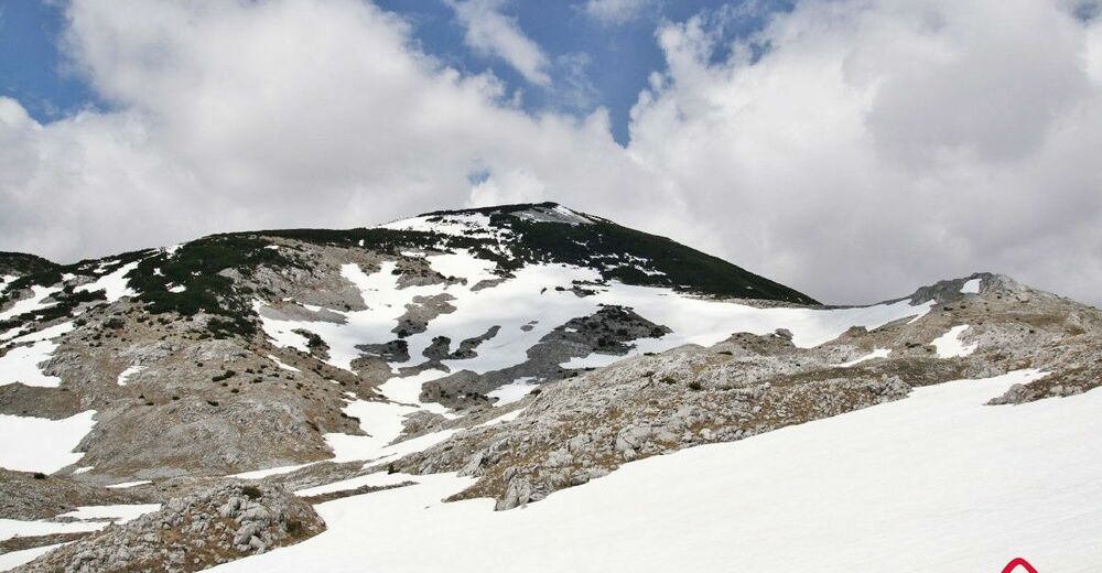
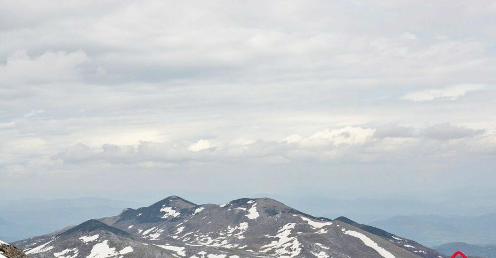
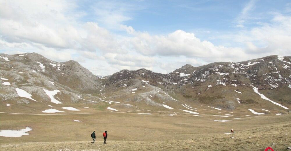
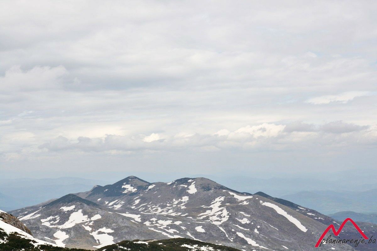
The walk requires an intermediate level of fitness. It leads to the rather isolated peak of Krvavac on Mt Bjelašnica. Since the peak is overgrown in scrub it can be accessed only from the eastern face.
- Reitti
-
UmoljaniKrvavac (2.062 m)6,1 kmUmoljani13,0 kmKoliba Umoljani13,1 km
- Korkein kohta
- 2.113 m
- Kohde
-
Krvavac
- Korkeusprofiili
-
 © outdooractive.com


-

-
KirjoittajaKiertue Krvavac käyttää outdooractive.com toimitettu.