Retkitiedot
9,34km
793
- 1.233m
468hm
464hm
03:19h
- Lyhyt kuvaus
-
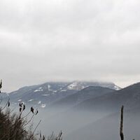
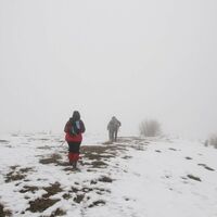
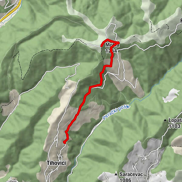
The walk is easy, technically undemanding, and it can be characterised as a mountain walk with only one serious ascent. It is good for short days and bad weather. There is one fountain along the way.
- Reitti
-
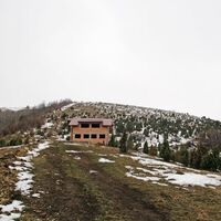
Motka (1.254 m)4,6 kmPlaninarski dom Motka5,2 km
- Korkein kohta
- 1.233 m
- Kohde
-
Motka peak
- Korkeusprofiili
-
© outdooractive.com
-

-
KirjoittajaKiertue Tihovići - Motka käyttää outdooractive.com toimitettu.
GPS Downloads
Lisää retkiä alueilla
-
Bosnien
44


