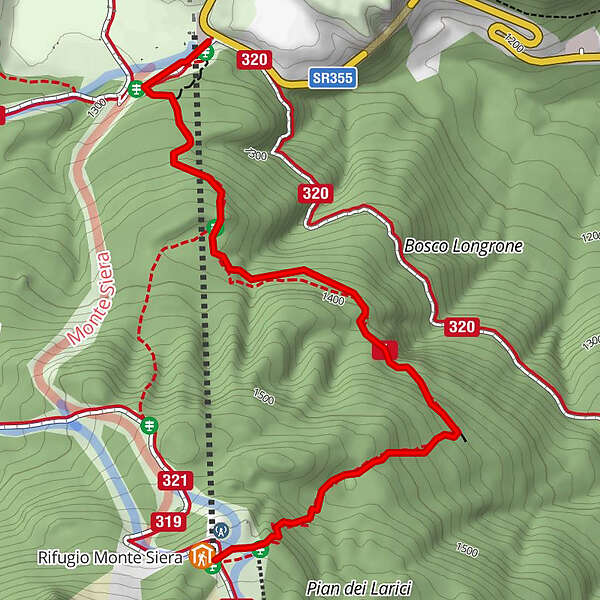
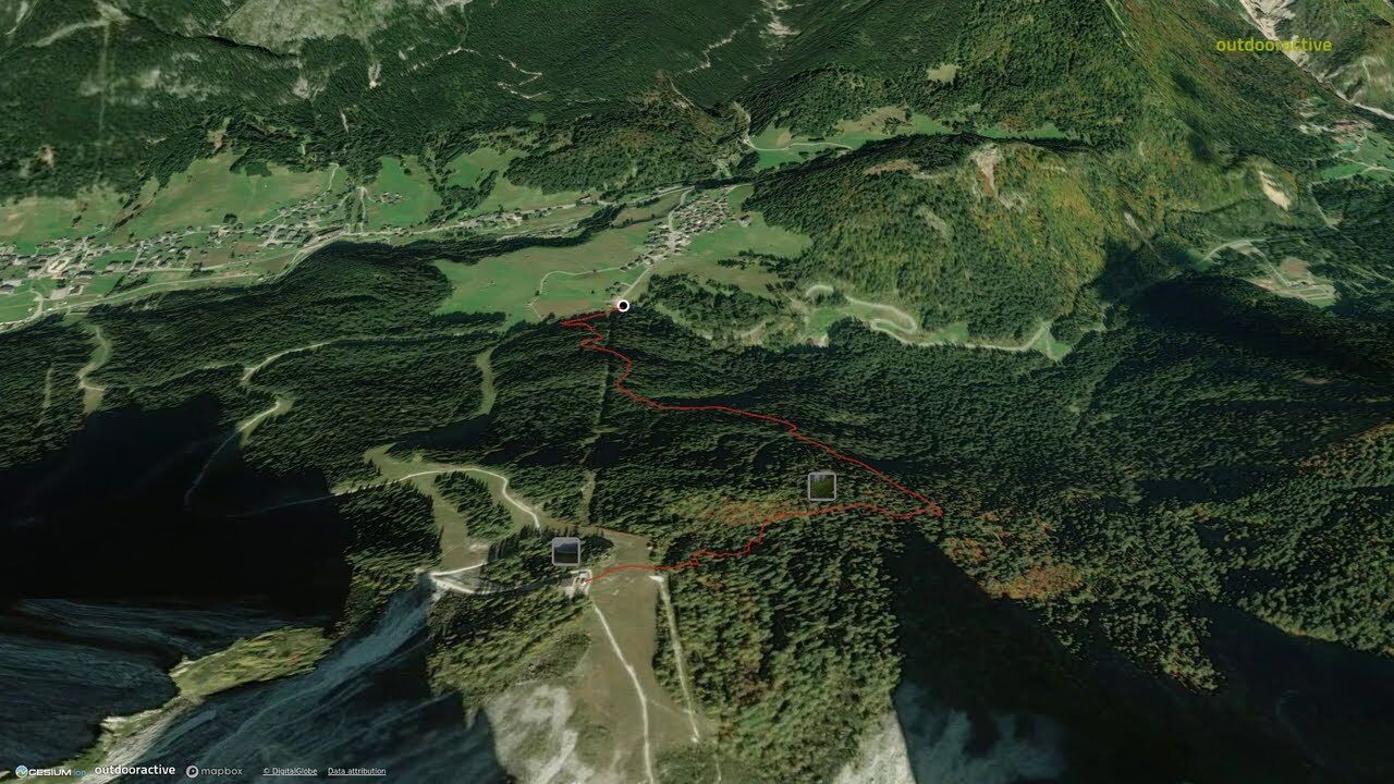
06 TO THE SIERA SHELTER by the Longrone nature trail - Sappada


© Piller Hoffer Manuel - © Piller Hoffer Manuel

© Outdooractive – 3D Videos

© Piller Hoffer Manuel - © Piller Hoffer Manuel

© Piller Hoffer Manuel - © Piller Hoffer Manuel

© Friuli Venezia Giulia - Giovanni Borella

- Lyhyt kuvaus
-
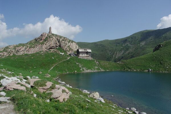
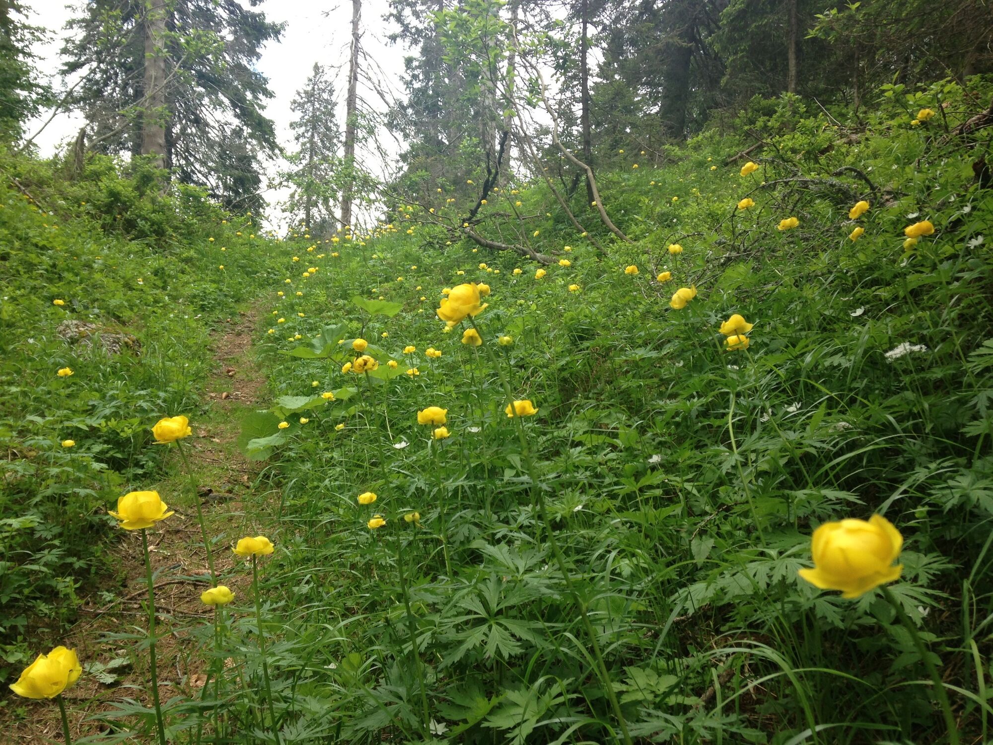
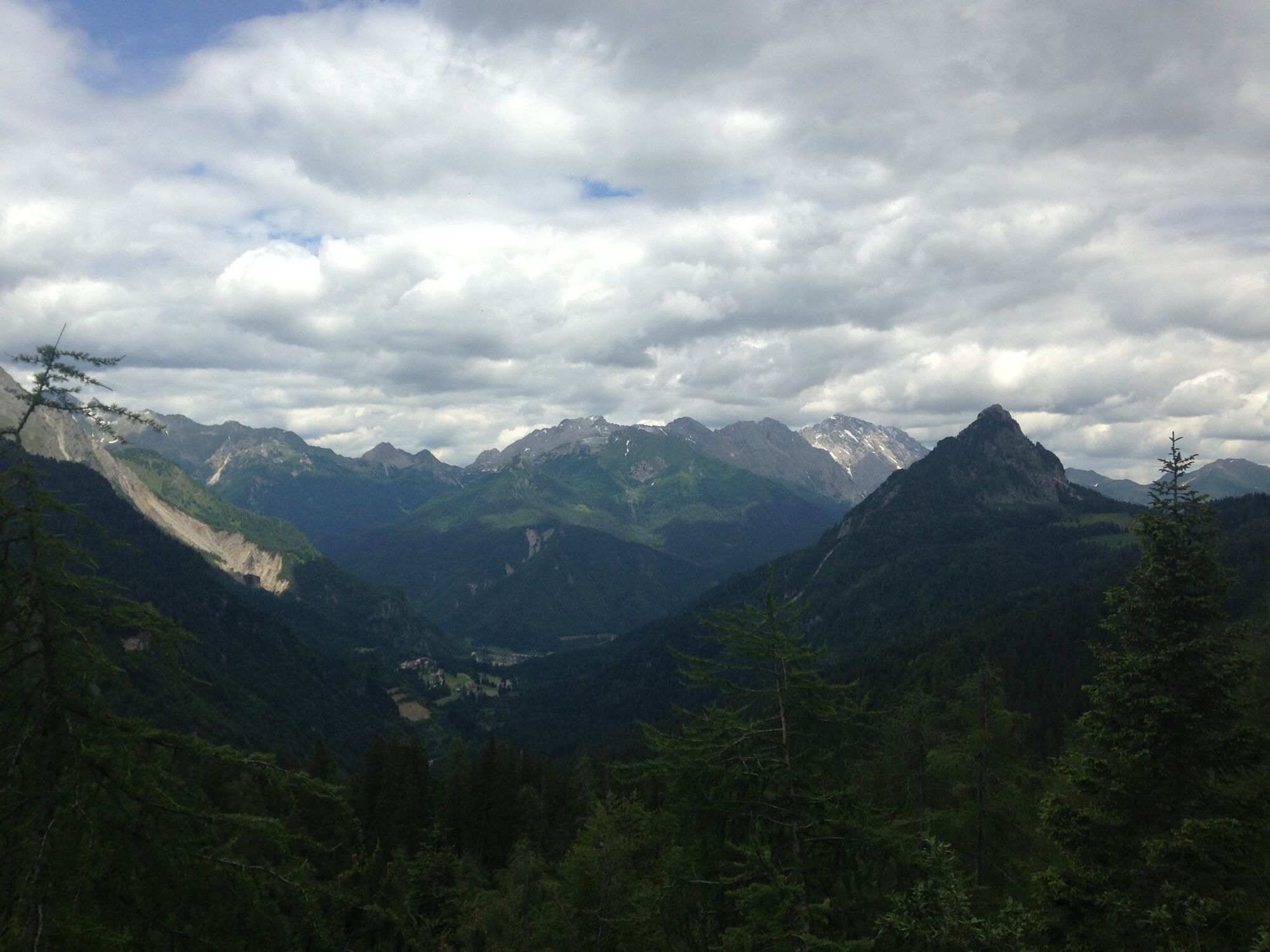
The shelter lies in a very panoramic position on the northern edge of the Pian dei Larici, alongside the upper chairlift station.Behind lie the imposing rock profiles of the Siera Spitz, the Piccolo Siera and the Cima Dieci.
- Vaikeus
-
helppo
- Arviointi
-
- Reitti
-
Rifugio Monte Siera2,1 kmMonte Siera2,1 km
- Paras kausi
-
tammihelmimaalishuhtitoukokesäheinäelosyyslokamarrasjoulu
- Korkein kohta
- 1.616 m
- Kohde
-
Rifugio Siera
- Korkeusprofiili
-
 © outdooractive.com


-

-
KirjoittajaKiertue 06 TO THE SIERA SHELTER by the Longrone nature trail - Sappada käyttää outdooractive.com toimitettu.