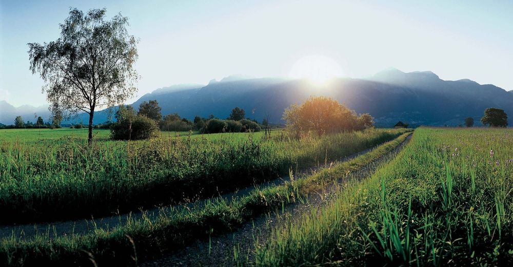
© Liechtenstein Marketing - Tom Jutzler


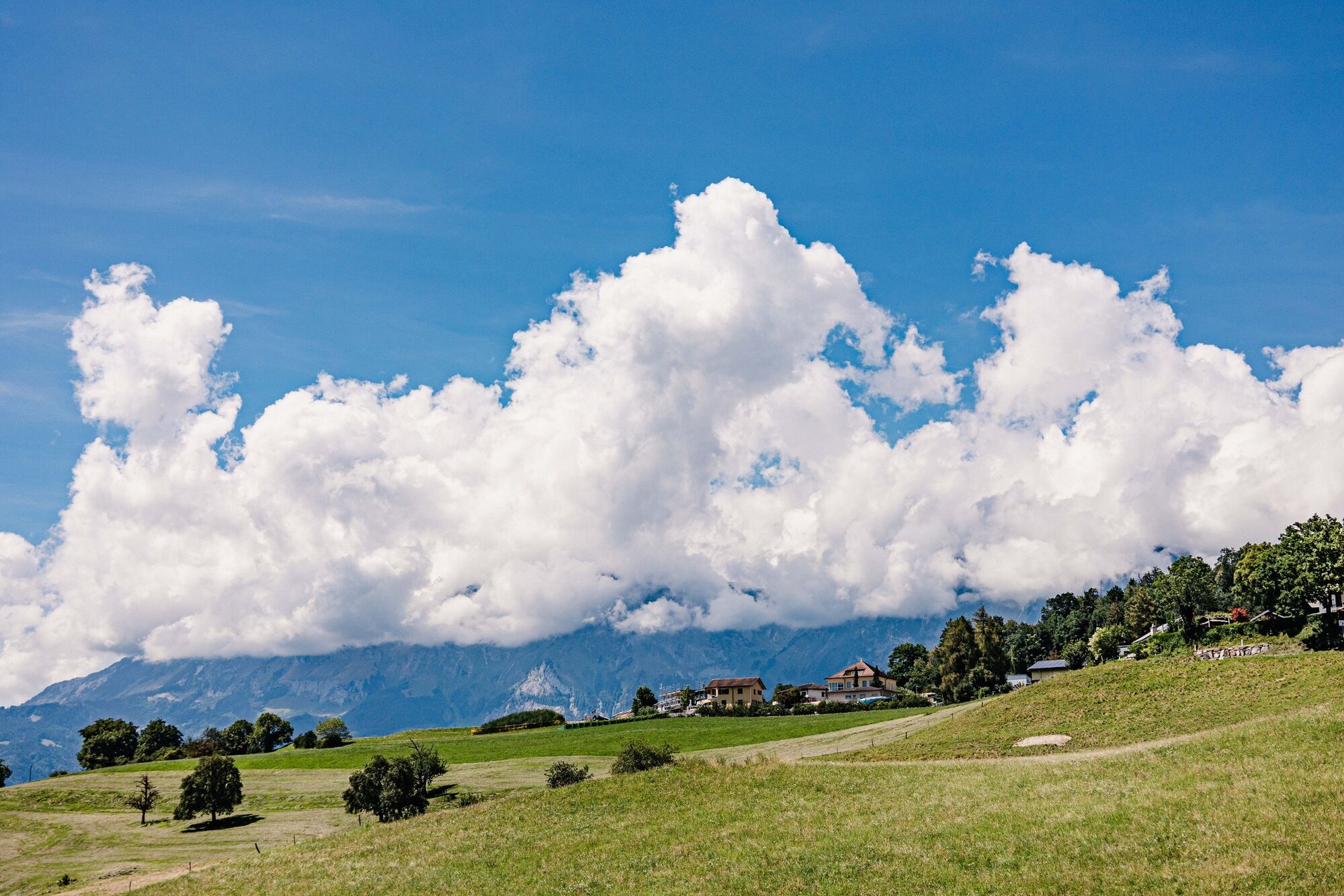
© Liechtenstein Marketing
- Lyhyt kuvaus
-
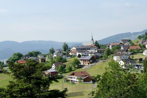
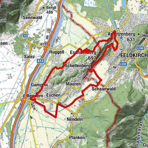
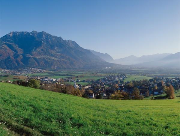
Eschnerberg (Eschen mountain) can be found on the planes of the river Rhine on the north side of Liechtenstein and is surrounded by the five municipalities of the lowland.
- Vaikeus
-
tapa
- Arviointi
-
- Reitti
-
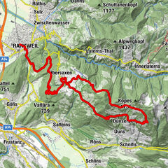
Lourdes Grotte0,2 kmBendern0,5 kmGamprin (472 m)1,4 kmHinterschellenberg8,2 kmWirtschaft zum Löwen8,5 kmFresch9,5 kmNofels10,7 kmSt. Wolfgang11,5 kmGasthaus Löwen12,0 kmFeldkirch12,1 kmGasthaus zur Eibe13,5 kmBendern24,3 km
- Paras kausi
-
tammihelmimaalishuhtitoukokesäheinäelosyyslokamarrasjoulu
- Korkein kohta
- 609 m
- Kohde
-
Bendern
- Korkeusprofiili
-
 © outdooractive.com


-

-
KirjoittajaKiertue Eschnerberg Tour käyttää outdooractive.com toimitettu.
GPS Downloads


Yleistä tietoa
Virvokepysäkki
Kulttuuri/Historiallinen
Lupaava
Lisää retkiä alueilla
-
Appenzellerland
152
-
Liechtenstein
129
-
Schellenberg
27