


- Lyhyt kuvaus
-
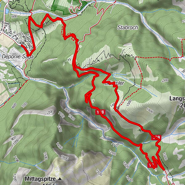
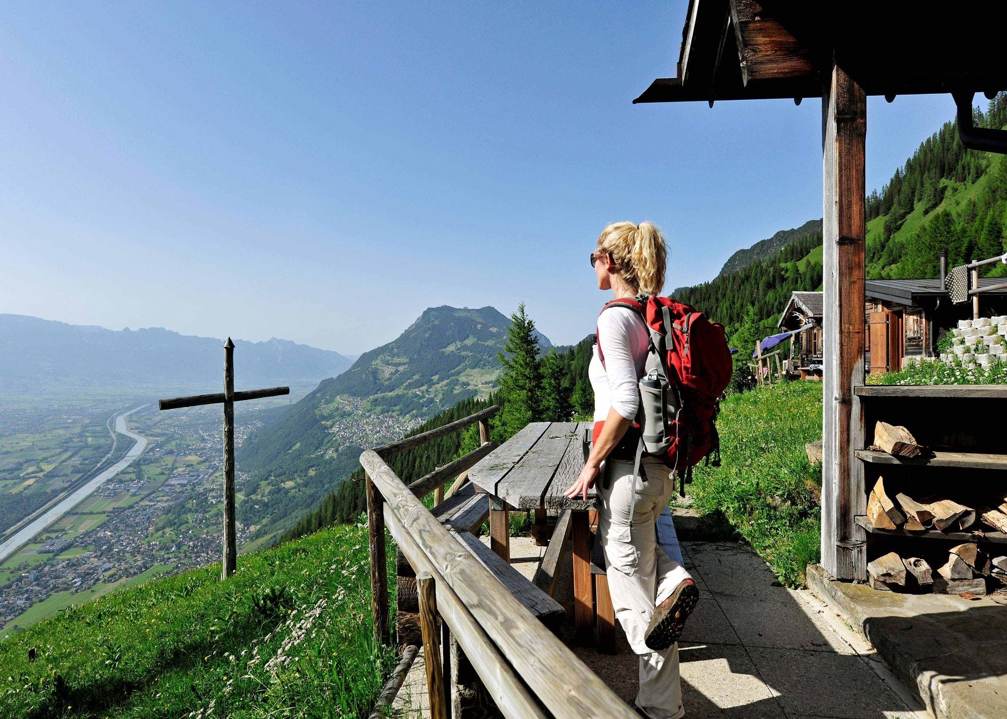
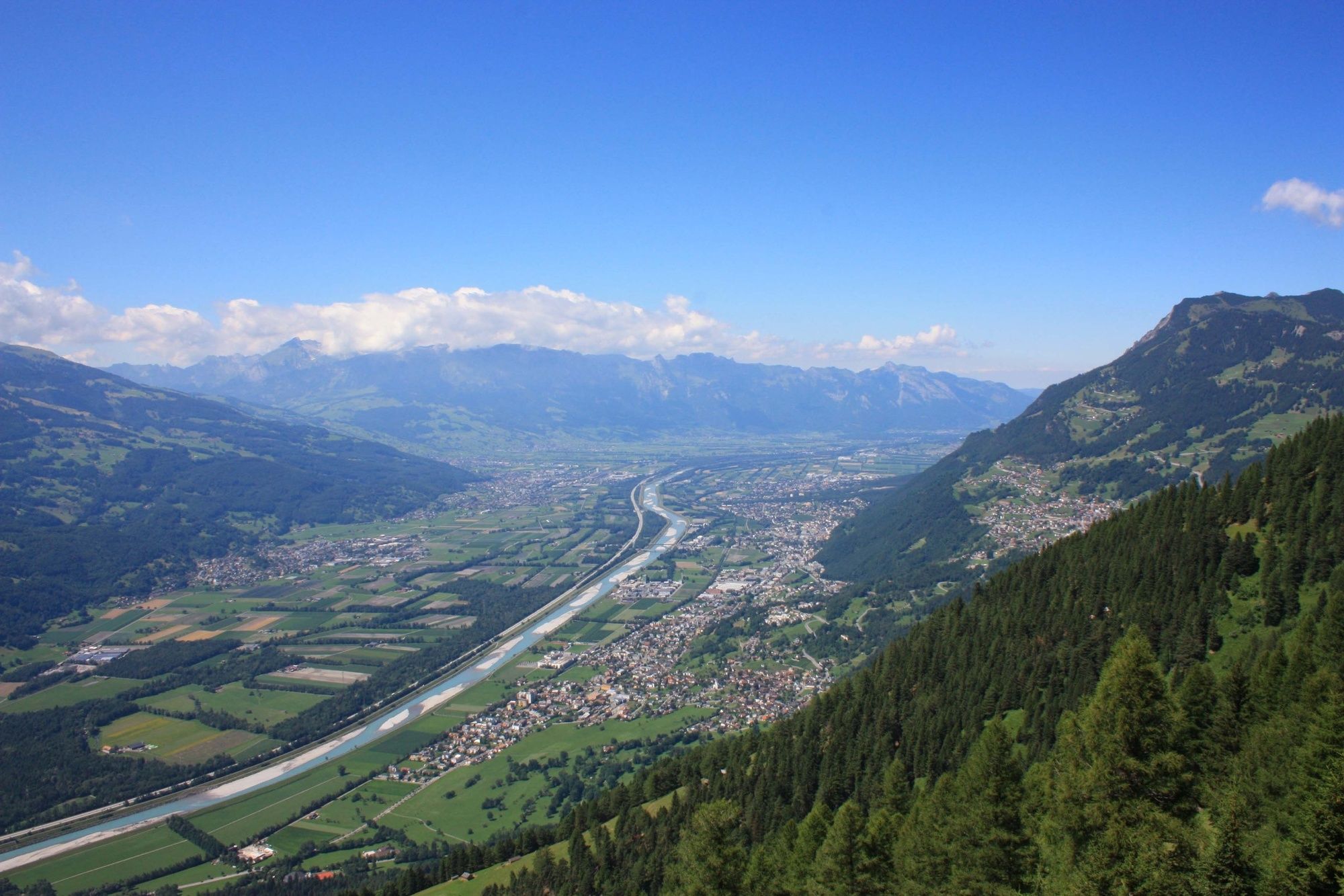
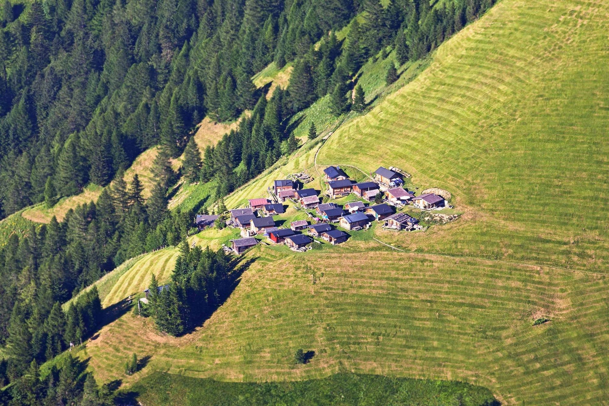
This challenging hike up to the hay huts of Tuass is worth the effort thanks to the fabulous untouched nature, steep mountain meadows and magnificent views of the Rhine Valley.
- Vaikeus
-
tapa
- Arviointi
-
- Reitti
-
Blüemler3,5 kmRestaurant Alte Eiche11,1 km
- Paras kausi
-
tammihelmimaalishuhtitoukokesäheinäelosyyslokamarrasjoulu
- Korkein kohta
- 1.433 m
- Kohde
-
Mittagsspitze campsite
- Korkeusprofiili
-
 © outdooractive.com
-

-
KirjoittajaKiertue Rough, wild, mystical - hike to Tuass käyttää outdooractive.com toimitettu.
GPS Downloads


Yleistä tietoa
Sisäpiirin vinkki
Lupaava
Lisää retkiä alueilla
-
Heidiland
2201
-
Liechtenstein
1289
-
Triesen
237


