


- Lyhyt kuvaus
-
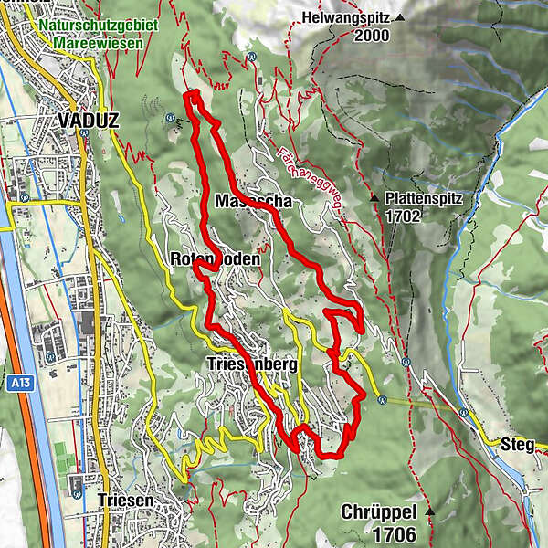
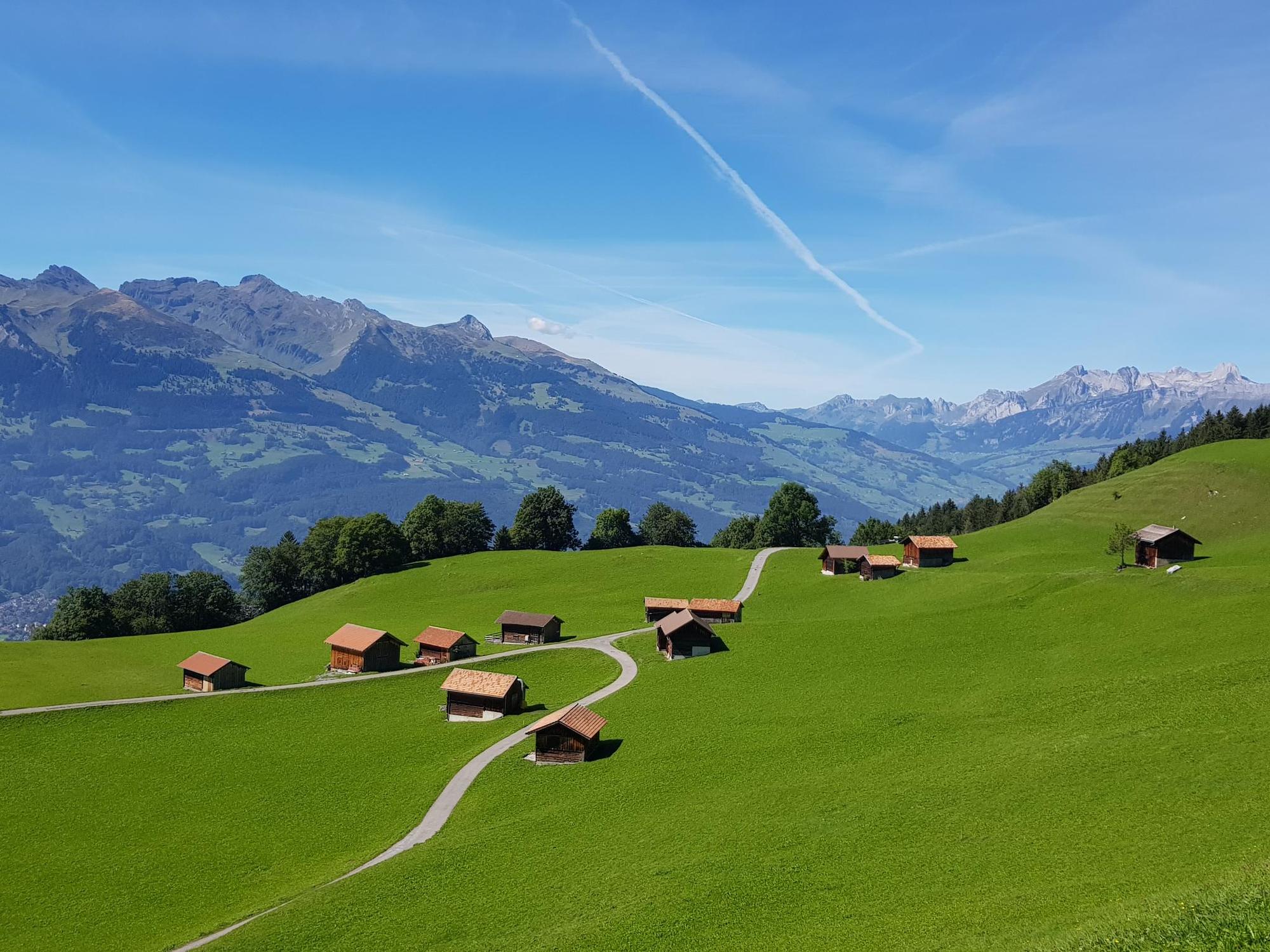
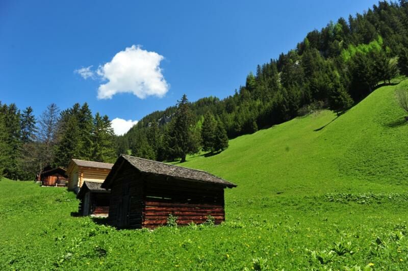
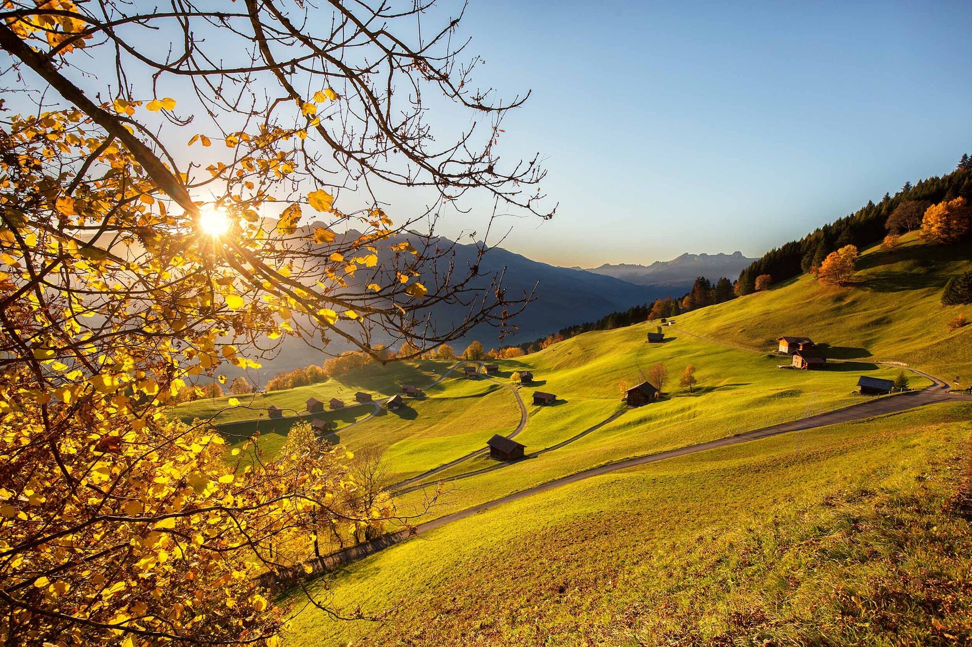
Splendid circular hike above the heights of Triesenberg along largely traffic-free roads and grassed footpaths.
- Vaikeus
-
tapa
- Arviointi
-
- Reitti
-
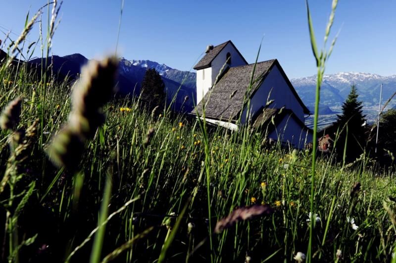
Triesenberg (884 m)0,0 kmRotenboden1,6 kmVaduz (455 m)3,3 kmVorder Prufatscheng4,4 kmMasescha5,0 kmSankt Theodul5,1 kmMitätsch (1.273 m)6,6 kmLavadina9,0 kmSteinort9,8 kmTriesenberg (884 m)11,2 kmPfarrkirche Sankt Josef11,2 km
- Paras kausi
-
tammihelmimaalishuhtitoukokesäheinäelosyyslokamarrasjoulu
- Korkein kohta
- 1.269 m
- Kohde
-
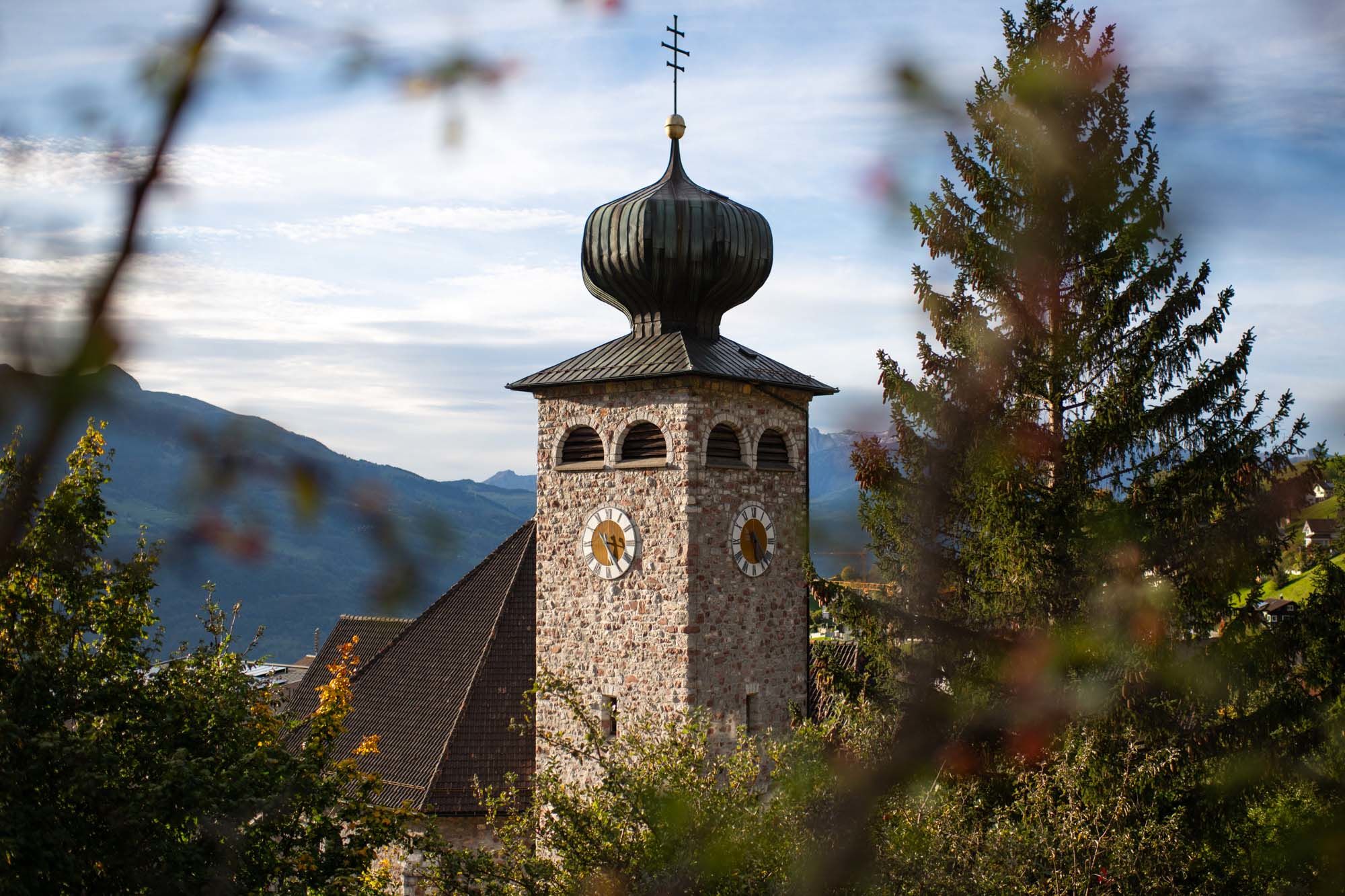
Triesenberg
- Korkeusprofiili
-
 © outdooractive.com


-

-
KirjoittajaKiertue Prufatscheng historical settlements käyttää outdooractive.com toimitettu.
GPS Downloads


Yleistä tietoa
Kulttuuri/Historiallinen
Lupaava
Lisää retkiä alueilla
-
Heidiland
2201
-
Liechtenstein
1289
-
Triesenberg
227


