
© Destination Gstaad - Destination Gstaad / Melanie Uhkoetter
- Lyhyt kuvaus
-
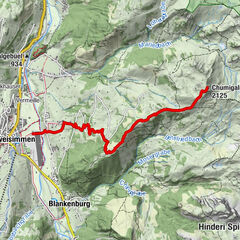
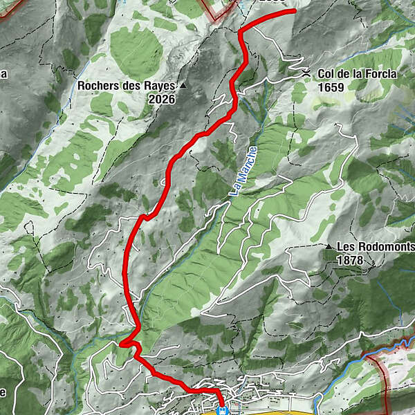
From Rougemont through the Vallée de la Manche and over the SW flank on the Haute Combe.
- Vaikeus
-
tapa
- Arviointi
-
- Reitti
-
Rougemont0,1 kmLa Neirive4,0 kmCombette6,5 kmHaute Combe (2.038 m)7,2 km
- Paras kausi
-
elosyyslokamarrasjoulutammihelmimaalishuhtitoukokesäheinä
- Korkein kohta
- 2.037 m
- Kohde
-
Haute Combe (2039 M.a.s.l)
- Exposition
- Korkeusprofiili
-
 © outdooractive.com
-

-
KirjoittajaKiertue Rougemont – Haute Combe (2039 M.a.s.l) käyttää outdooractive.com toimitettu.
GPS Downloads
Yleistä tietoa
Lupaava
Lisää retkiä alueilla
-
Alpes Vaudoises
60
-
Pays-d’Enhaut Région
47
-
Rougemont
12