


- Lyhyt kuvaus
-
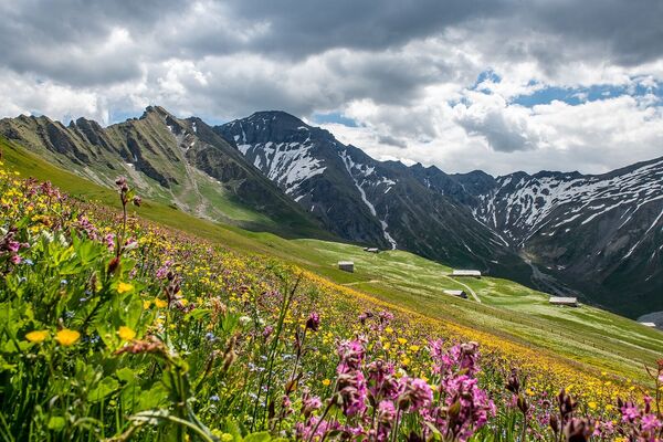
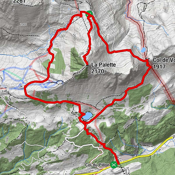
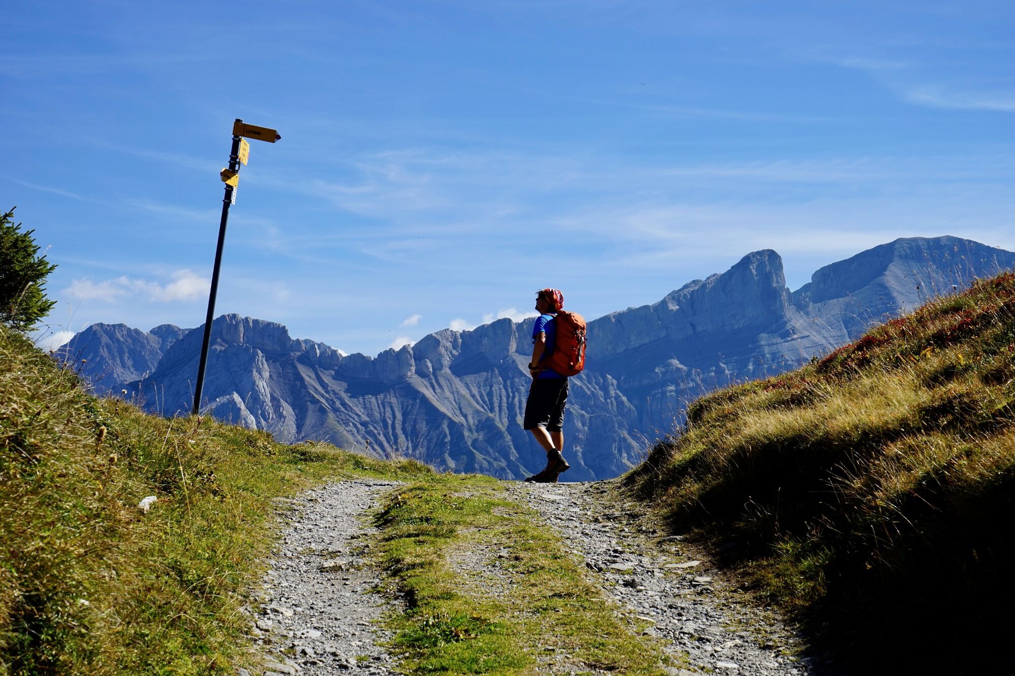
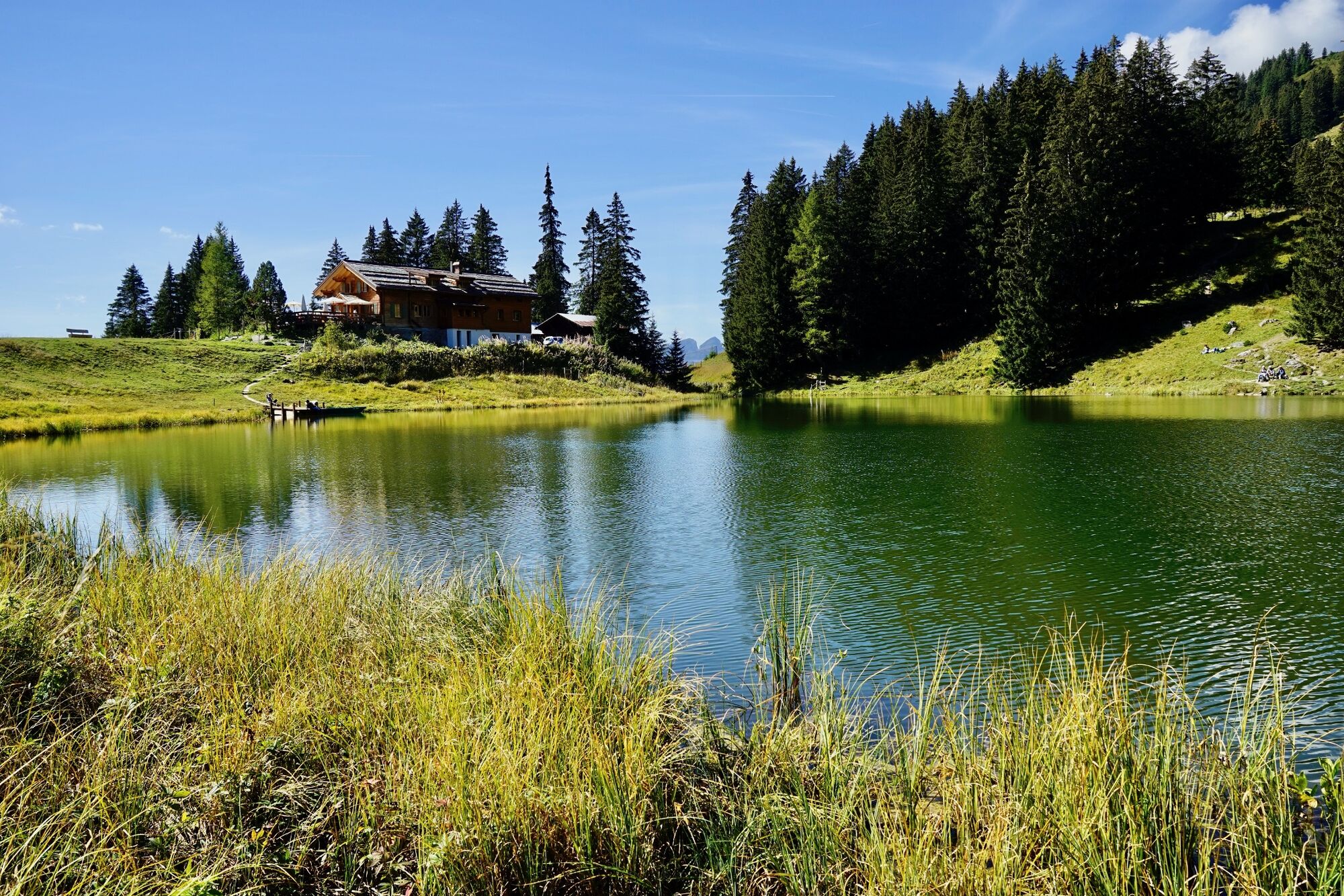
Eine originelle Rundwanderung führt vom Col du Pillon zum Lac Retaud mit dem Bergrestaurant, via Col des Andérets auf den Gipfel La Palette und auf der anderen Seite über den Col de Voré zurück zum Lac Retaud und zum Col du Pillon.
- Vaikeus
-
tapa
- Arviointi
-
- Reitti
-
Restaurant du Col du Pillon0,0 kmRestaurant du Lac Retaud1,0 kmLa Palette (2.170 m)5,2 kmChalet Vieux7,1 kmCol de Voré (1.917 m)7,4 kmRestaurant du Lac Retaud9,1 kmRestaurant du Col du Pillon10,0 km
- Paras kausi
-
tammihelmimaalishuhtitoukokesäheinäelosyyslokamarrasjoulu
- Korkein kohta
- 2.153 m
- Kohde
-
Col du Pillon
- Korkeusprofiili
-
 © outdooractive.com

-

-
KirjoittajaKiertue Ein Gipfel im östlichen Waadtland käyttää outdooractive.com toimitettu.
GPS Downloads

Yleistä tietoa
Virvokepysäkki
Lupaava
Lisää retkiä alueilla
-
Alpes Vaudoises
998
-
Pays-d’Enhaut Région
506
-
Ormont-Dessus
150