

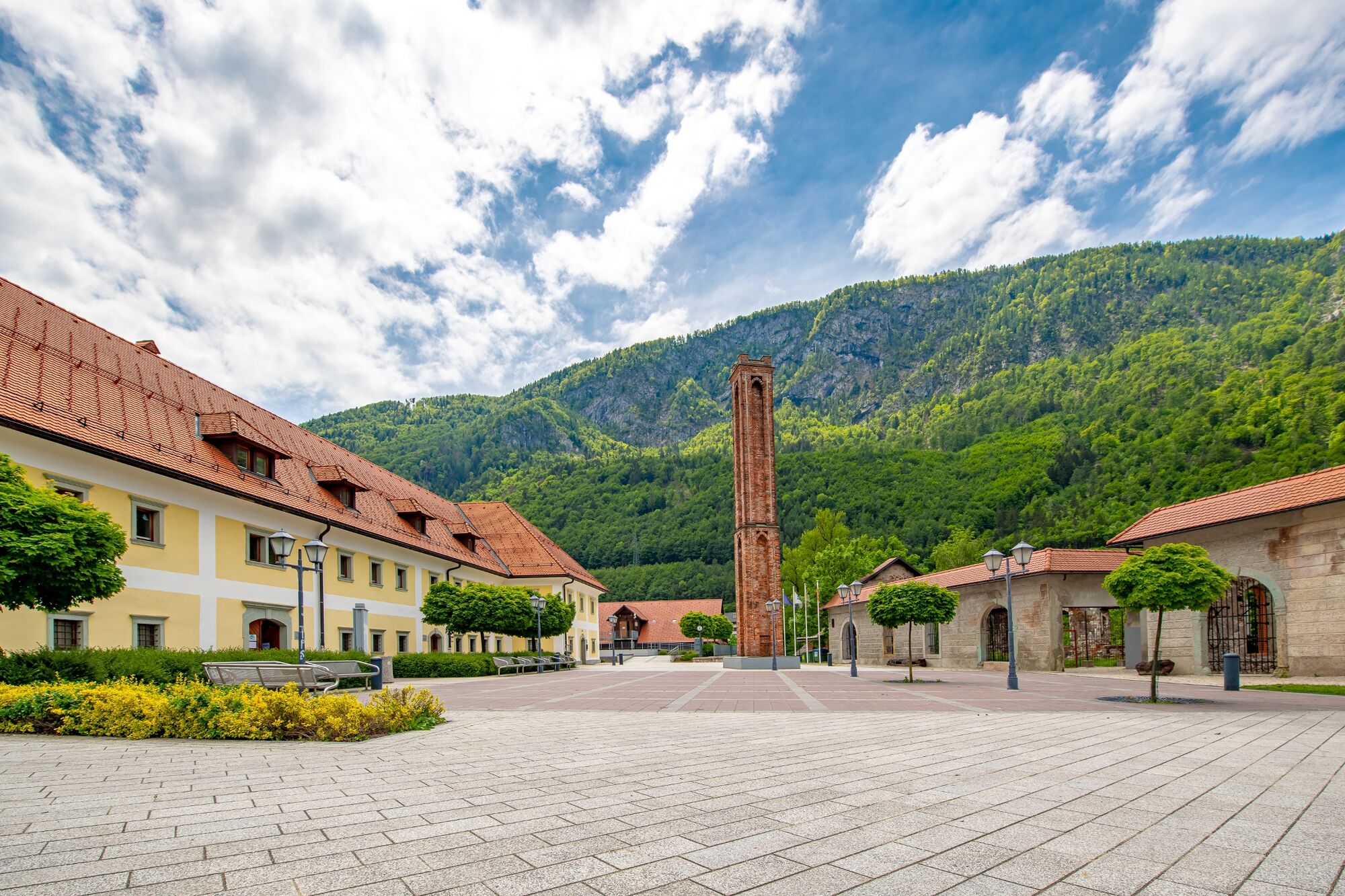
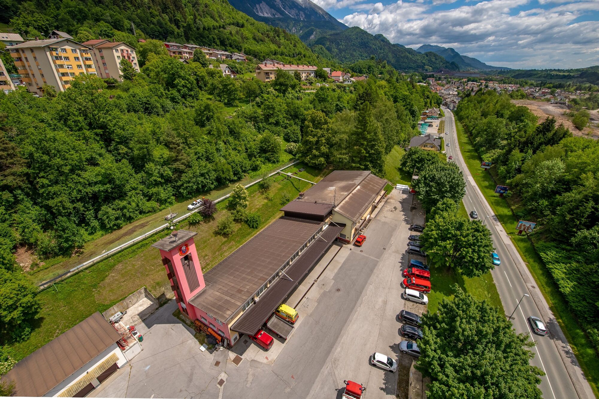
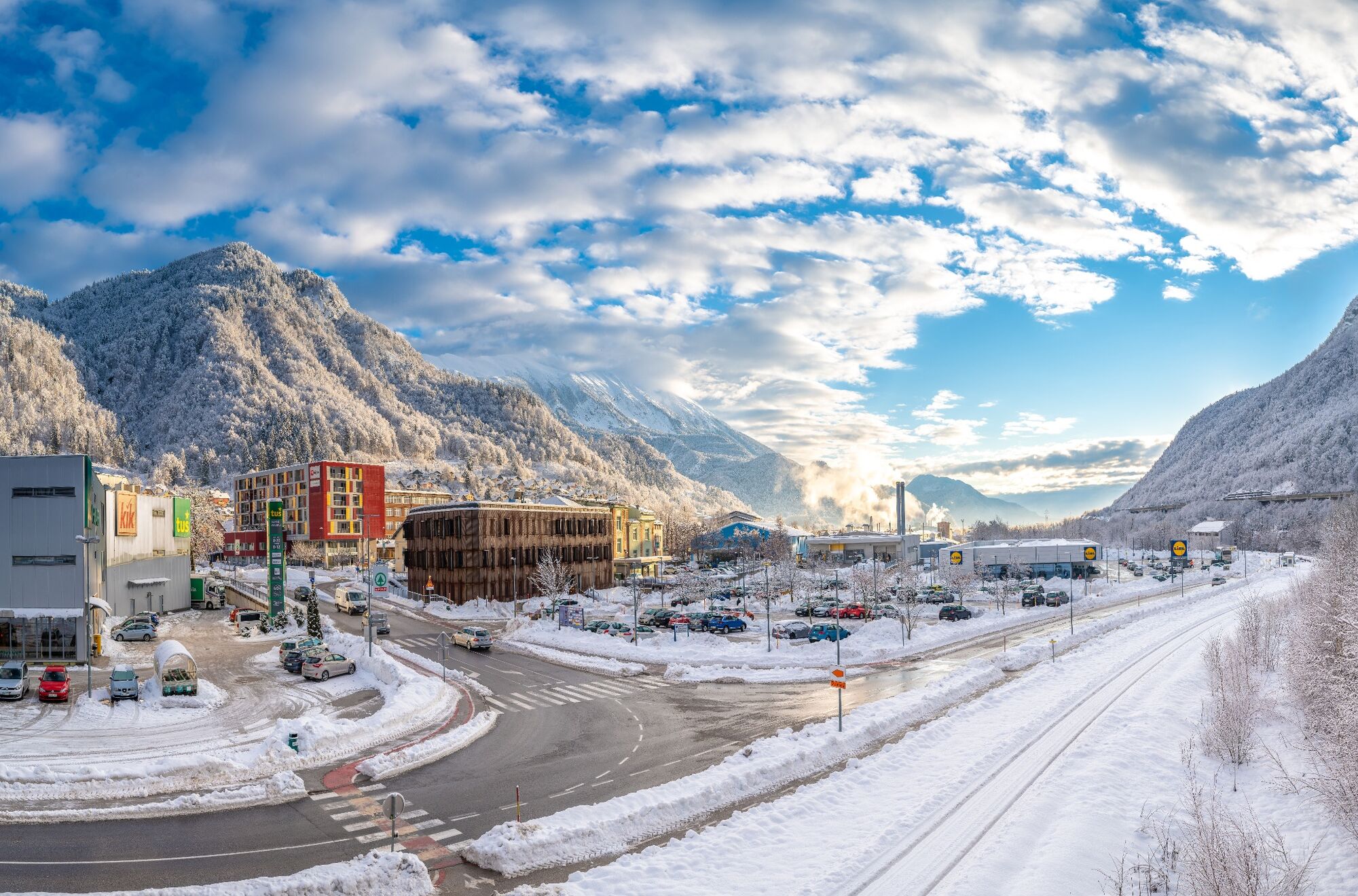
© Turizem Jesenice - Gregor Vidmar

© Julische Alpen - Gregor Vidmar

© Julische Alpen - Gregor Vidmar

© Julische Alpen - Gregor Vidmar

© Julische Alpen - Miro Podgoršek

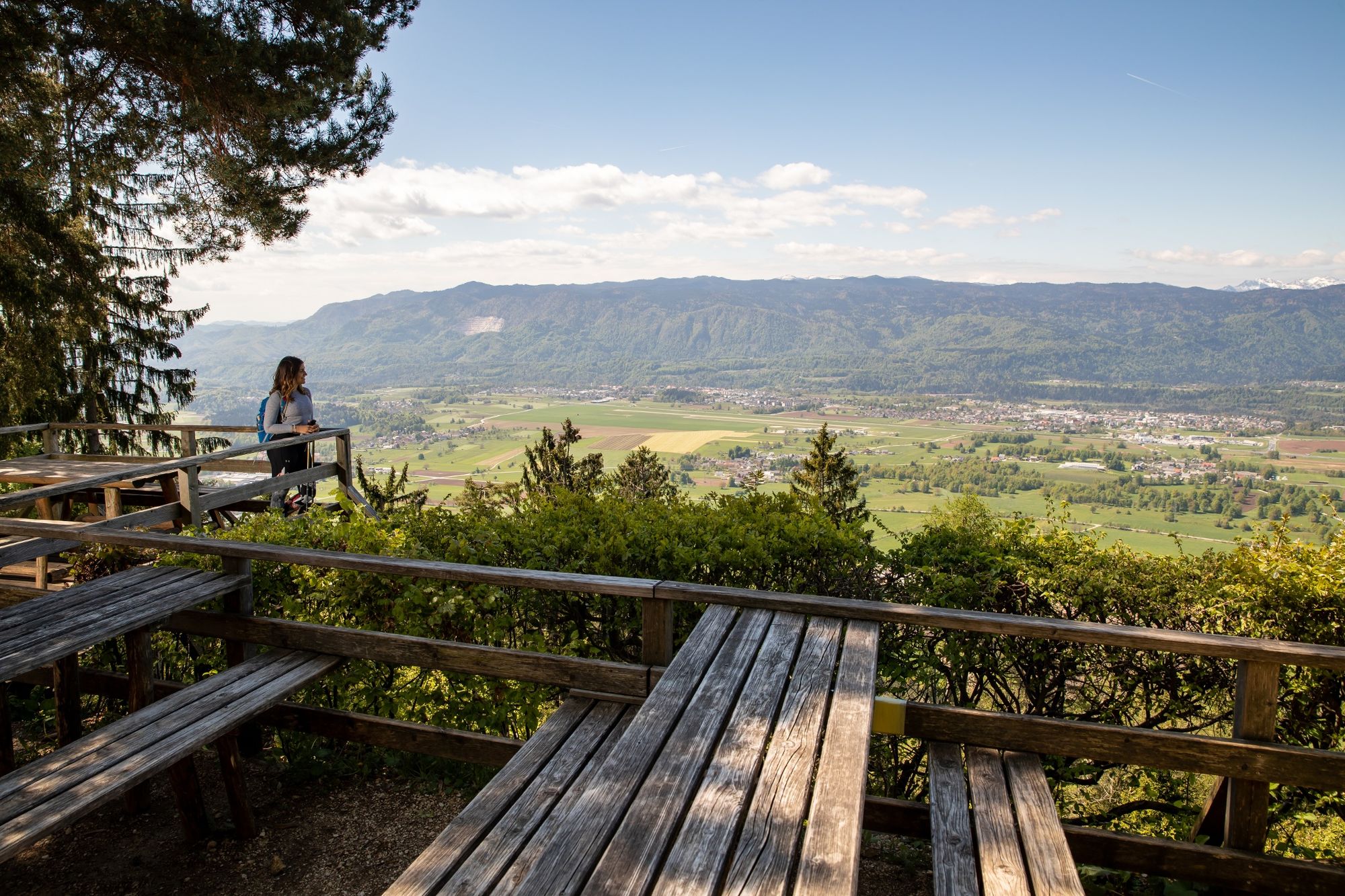
© Turizem Jesenice - Gregor Vidmar

© Julische Alpen - Gregor Vidmar

© Julische Alpen - Miro Podgortek

© Julische Alpen - Miro Podgortek

© Julische Alpen - Mitja Sodja
- Lyhyt kuvaus
-
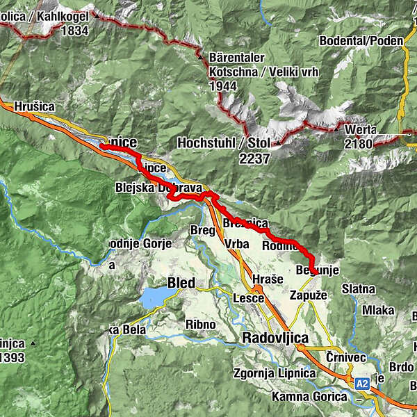
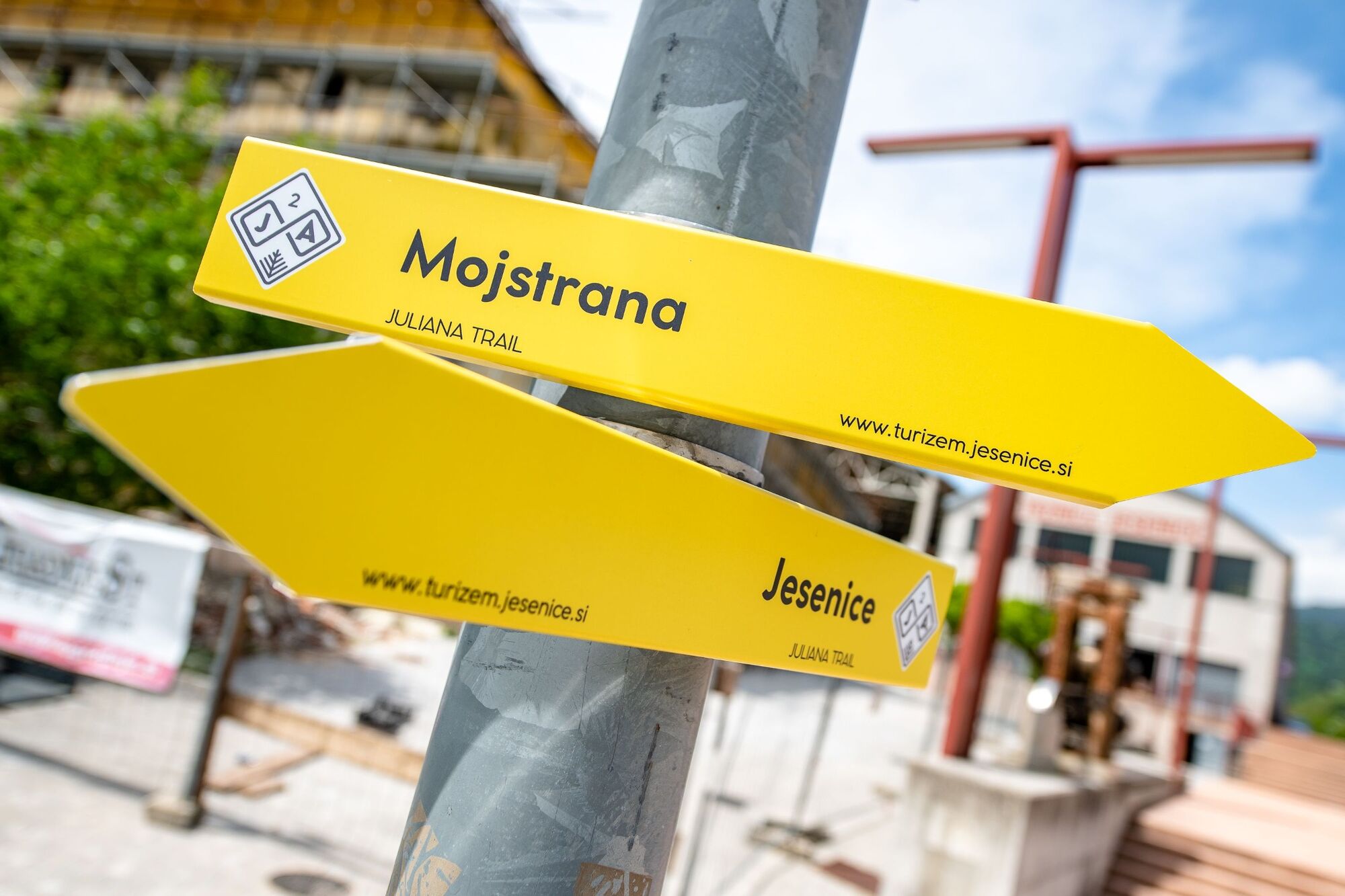
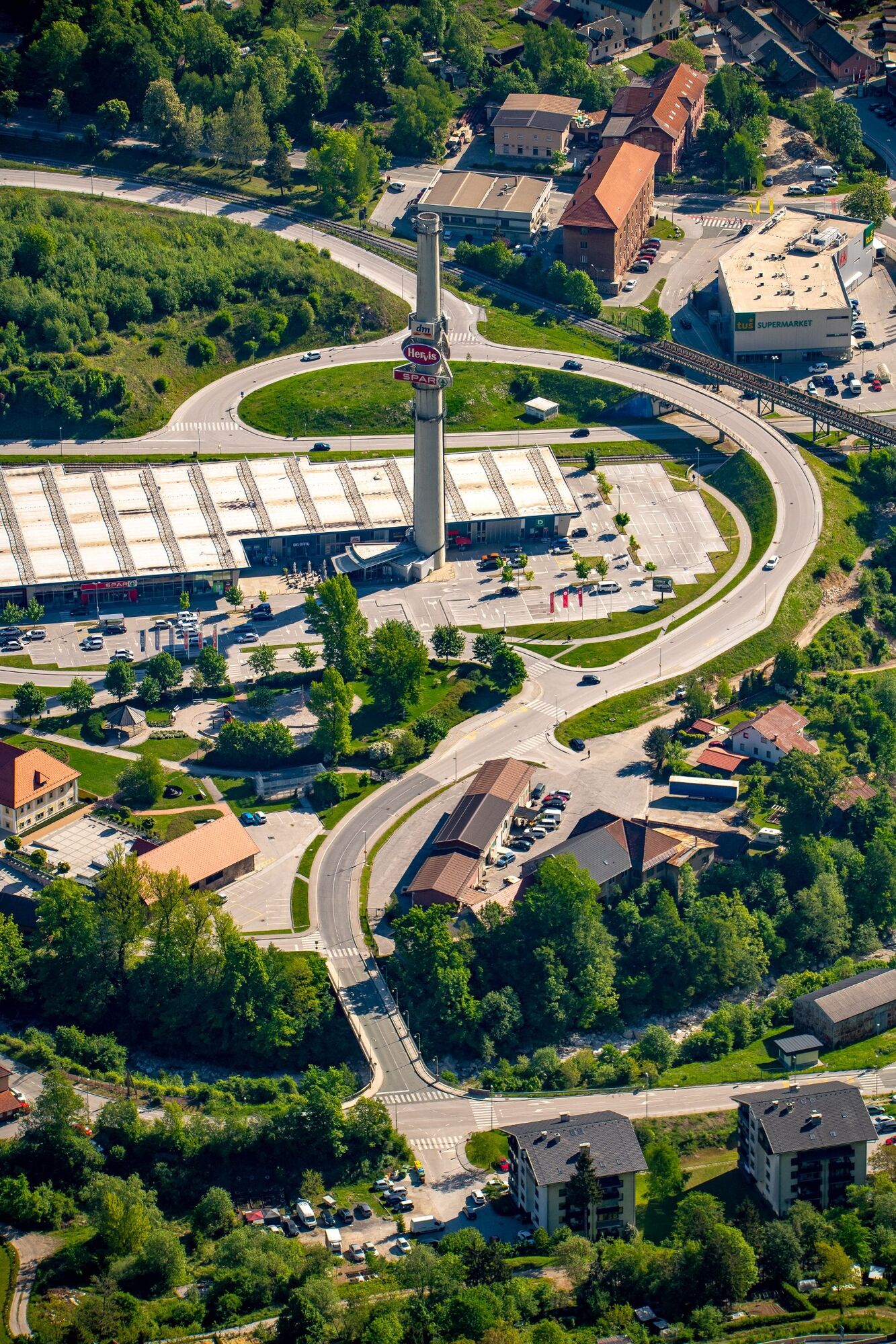
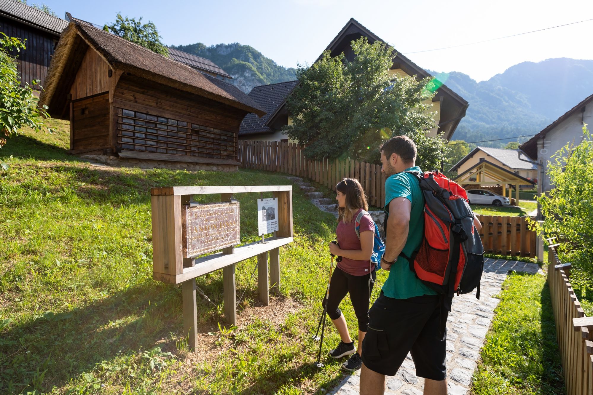
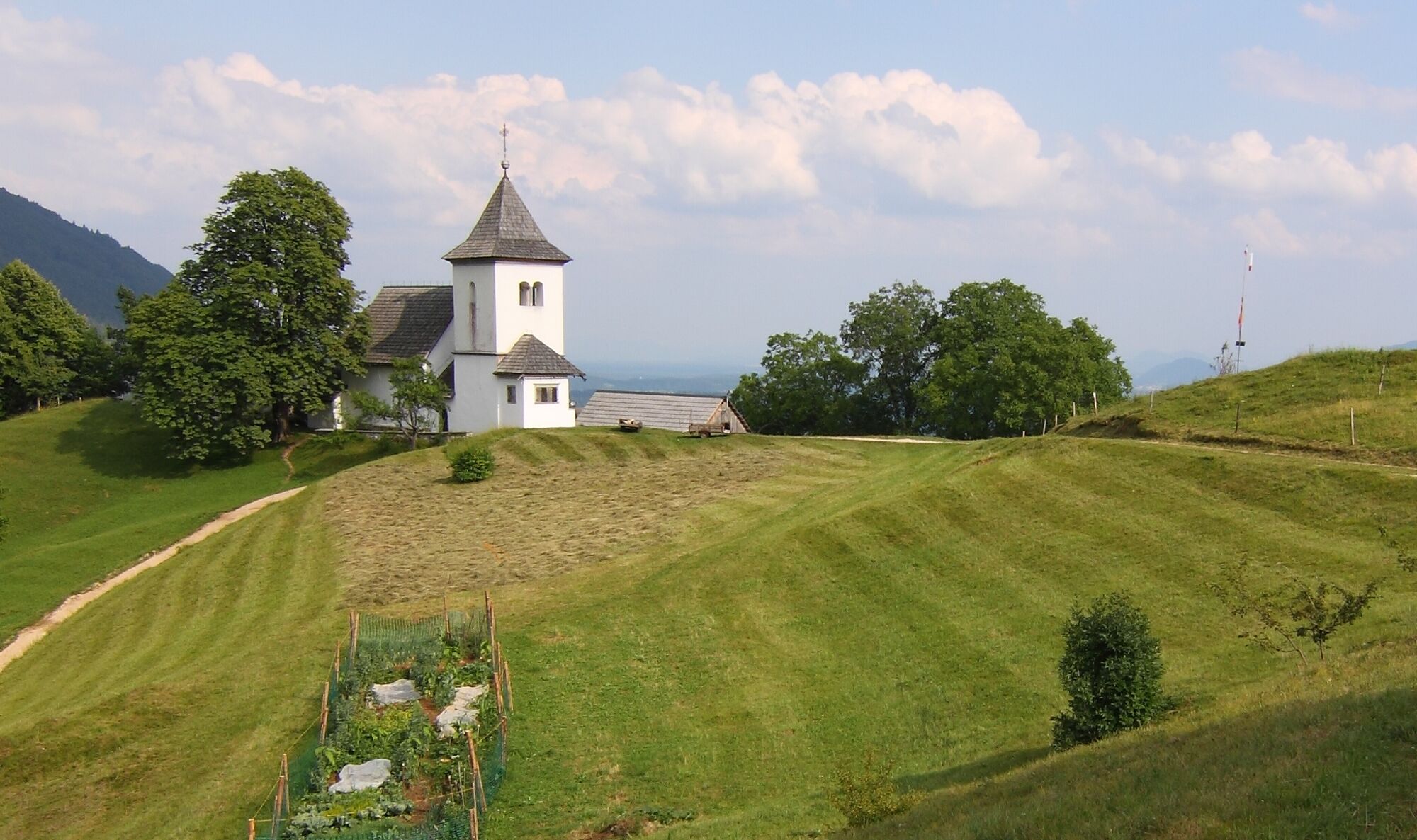
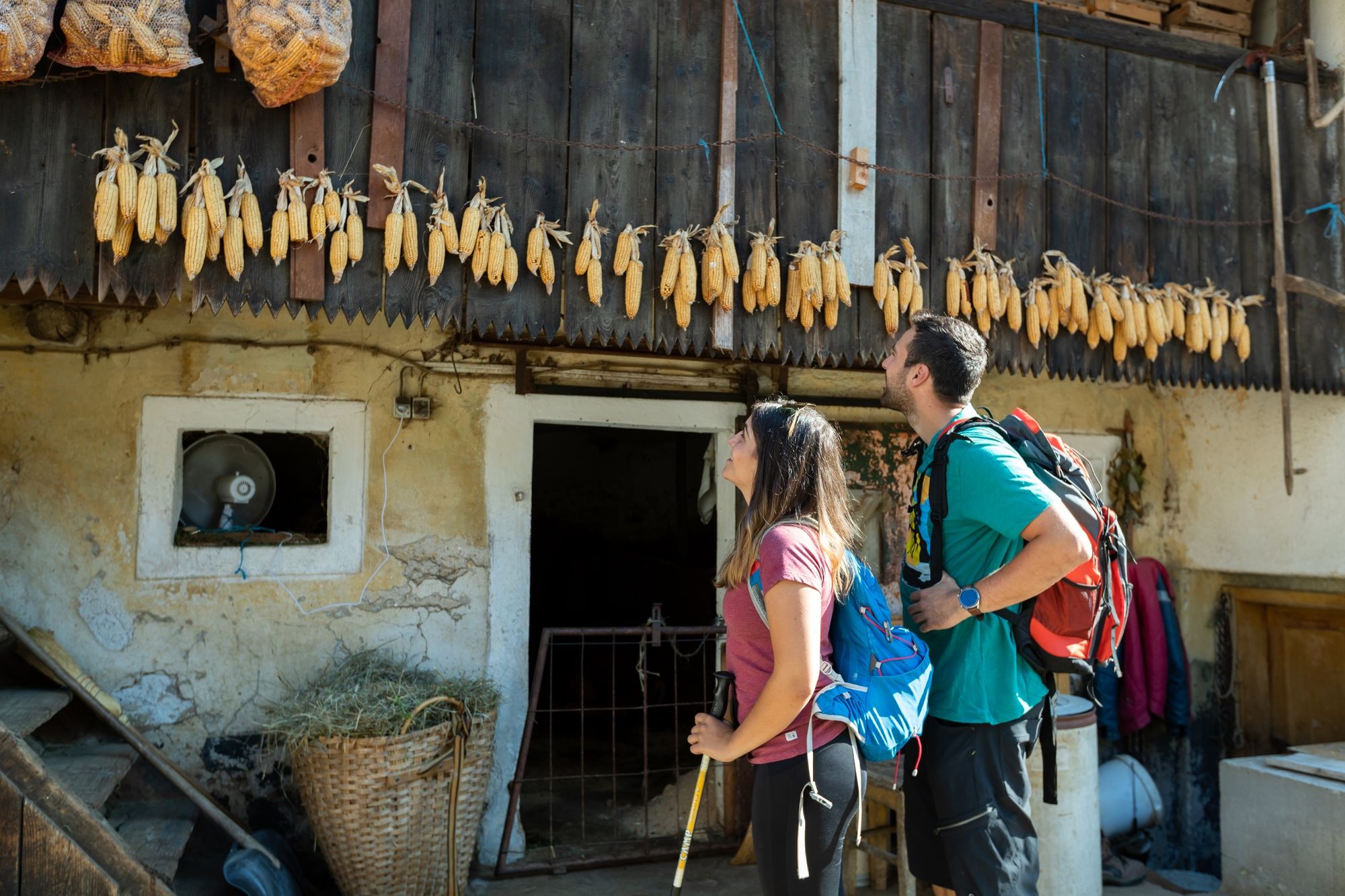
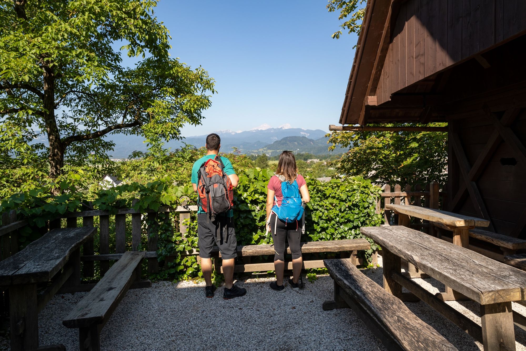
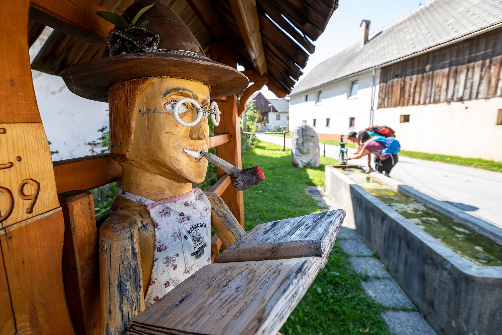
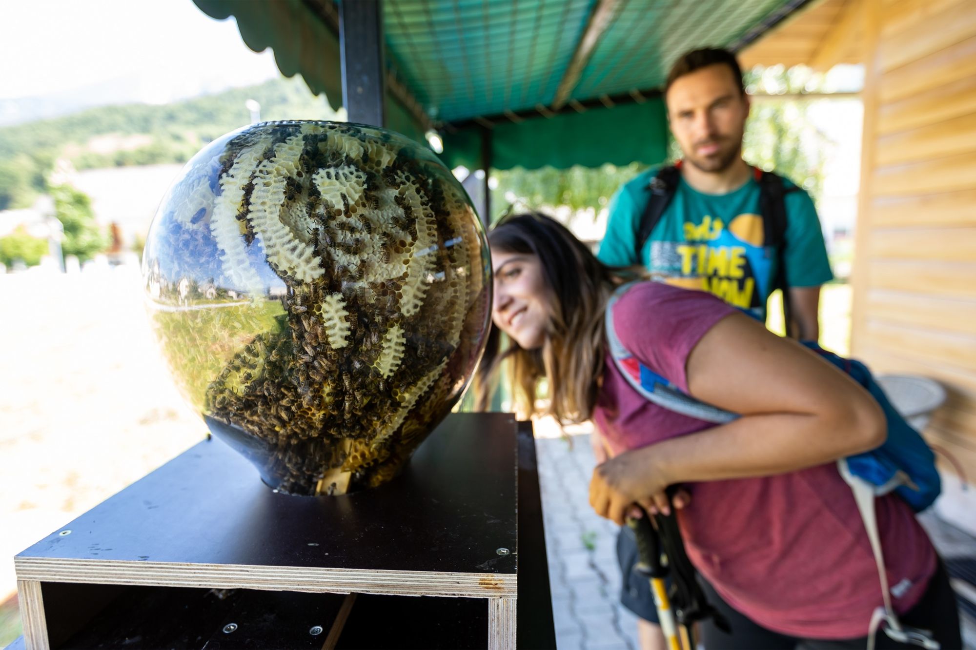
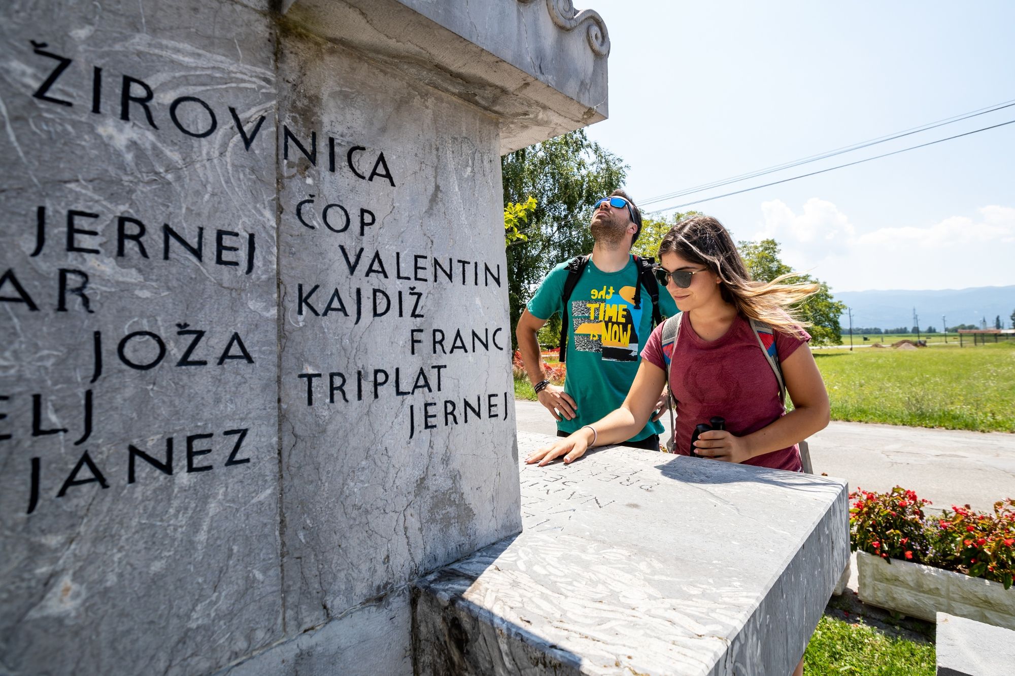
Stage 3 starts in the ironworks city of Jesenice, over Dobraško polje and over the Sava Dolinka River to the villages beneath Stol, where the attractions are mostly based on culture and beekeeping products. The stage ends in Begunje.
- Vaikeus
-
tapa
- Arviointi
-
- Reitti
-
Cerkev Marijinega vnebovzetjaJesenice (576 m)0,5 kmKazina0,6 kmSlovenski Javornik2,2 kmLipce3,6 kmBlejska Dobrava4,2 kmMoste8,2 kmScheraunitz (558 m)9,1 kmSelo pri Žirovnici10,1 kmZabreznica10,5 kmBreznica11,3 kmDoslovče12,1 kmSmokuč12,9 kmSankaška koča14,8 kmSveti Peter15,2 kmPoljče16,3 kmGostilna Avsenik16,6 kmBegunje (577 m)16,6 km
- Paras kausi
-
tammihelmimaalishuhtitoukokesäheinäelosyyslokamarrasjoulu
- Korkein kohta
- 878 m
- Kohde
-
Car park in front of Avsenik Museum (Jožovc Inn) and the TIC in Begunje.
- Korkeusprofiili
-
 © outdooractive.com


- Kirjoittaja
-
Kiertue JULIANA TRAIL: stage 3 Jesenice - Begunje käyttää outdooractive.com toimitettu.
GPS Downloads


Yleistä tietoa
Virvokepysäkki
Kulttuuri/Historiallinen
Lupaava
Lisää retkiä alueilla
-
Wörthersee - Rosental
1955
-
Bled
211


