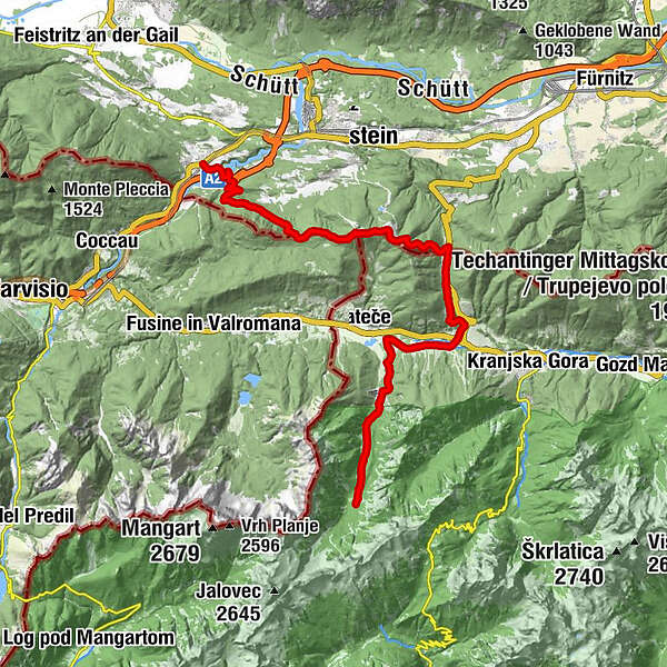
Via Alpina Slovenia: Red trail Stage 14 (Tamar-Thörl-Maglern)

© TIC Kranjska Gora

© All around - prostovoljc
- Lyhyt kuvaus
-
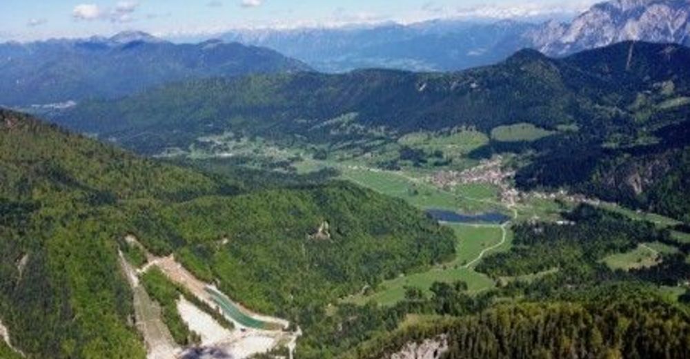
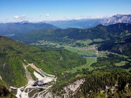
Start in the Planica glacial valley and go through the forests below the impressive rocky peaks to the Planica ski jumps, before crossing into Austria over Koren pass.
- Vaikeus
-
vaikea
- Arviointi
-
- Reitti
-
Chapel Marija Pomagaj - Tamar0,1 kmSlatna4,4 kmKolovrat7,8 kmWurzen8,6 kmGasthaus am Wurzenpass12,2 kmDreiländereck Hütte15,1 kmDreiländereck (1.508 m)15,7 kmHomitsch (1.302 m)17,0 kmMaglern23,5 km
- Paras kausi
-
tammihelmimaalishuhtitoukokesäheinäelosyyslokamarrasjoulu
- Korkein kohta
- 1.500 m
- Kohde
-
Korensko sedlo border pass
- Korkeusprofiili
-
 © outdooractive.com
- Kirjoittaja
-
Kiertue Via Alpina Slovenia: Red trail Stage 14 (Tamar-Thörl-Maglern) käyttää outdooractive.com toimitettu.
GPS Downloads


Yleistä tietoa
Virvokepysäkki
Kulttuuri/Historiallinen
Lupaava
Lisää retkiä alueilla


