


- Lyhyt kuvaus
-
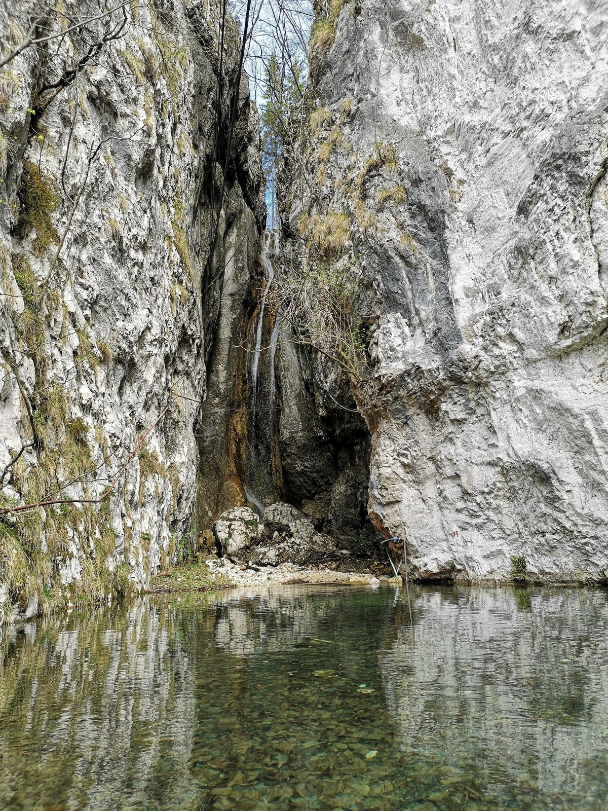
The top of Iglica is accessible to hikers through a narrow crevice, where they can enjoy beautiful views from the peak.
- Vaikeus
-
helppo
- Arviointi
-
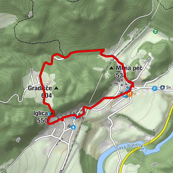
- Reitti
-
Bohinjska Bela0,6 kmIglica (550 m)0,9 km
- Paras kausi
-
tammihelmimaalishuhtitoukokesäheinäelosyyslokamarrasjoulu
- Korkein kohta
- 594 m
- Kohde
-
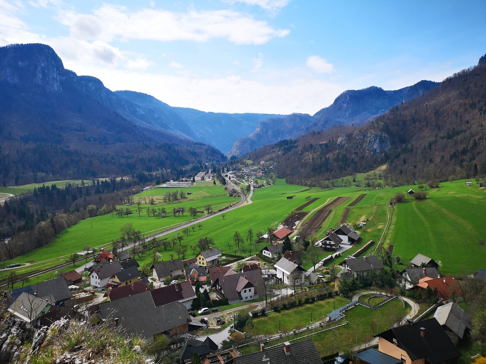
Heart of the village of Bohinjska Bela (488m).
- Korkeusprofiili
-
 © outdooractive.com

- Kirjoittaja
-
Kiertue Over Iglica käyttää outdooractive.com toimitettu.
GPS Downloads


Yleistä tietoa
Parantava ilmasto
Flora
Fauna
Lupaava
Lisää retkiä alueilla
-
Wörthersee - Rosental
1956
-
Bled
211


