© Turizem Bled - Jošt Gantar
© Zavod za kulturo Bled - Vizualist

- Lyhyt kuvaus
-
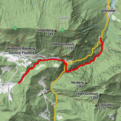
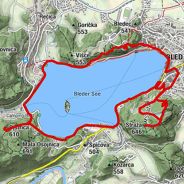
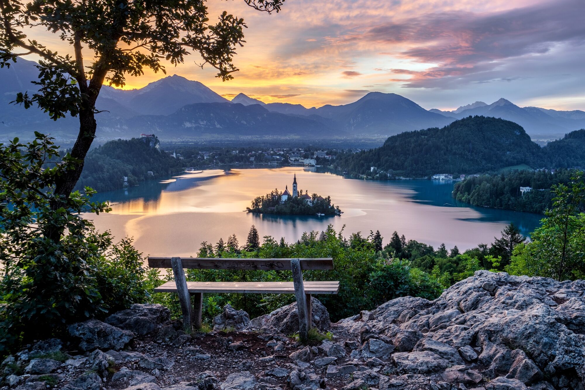
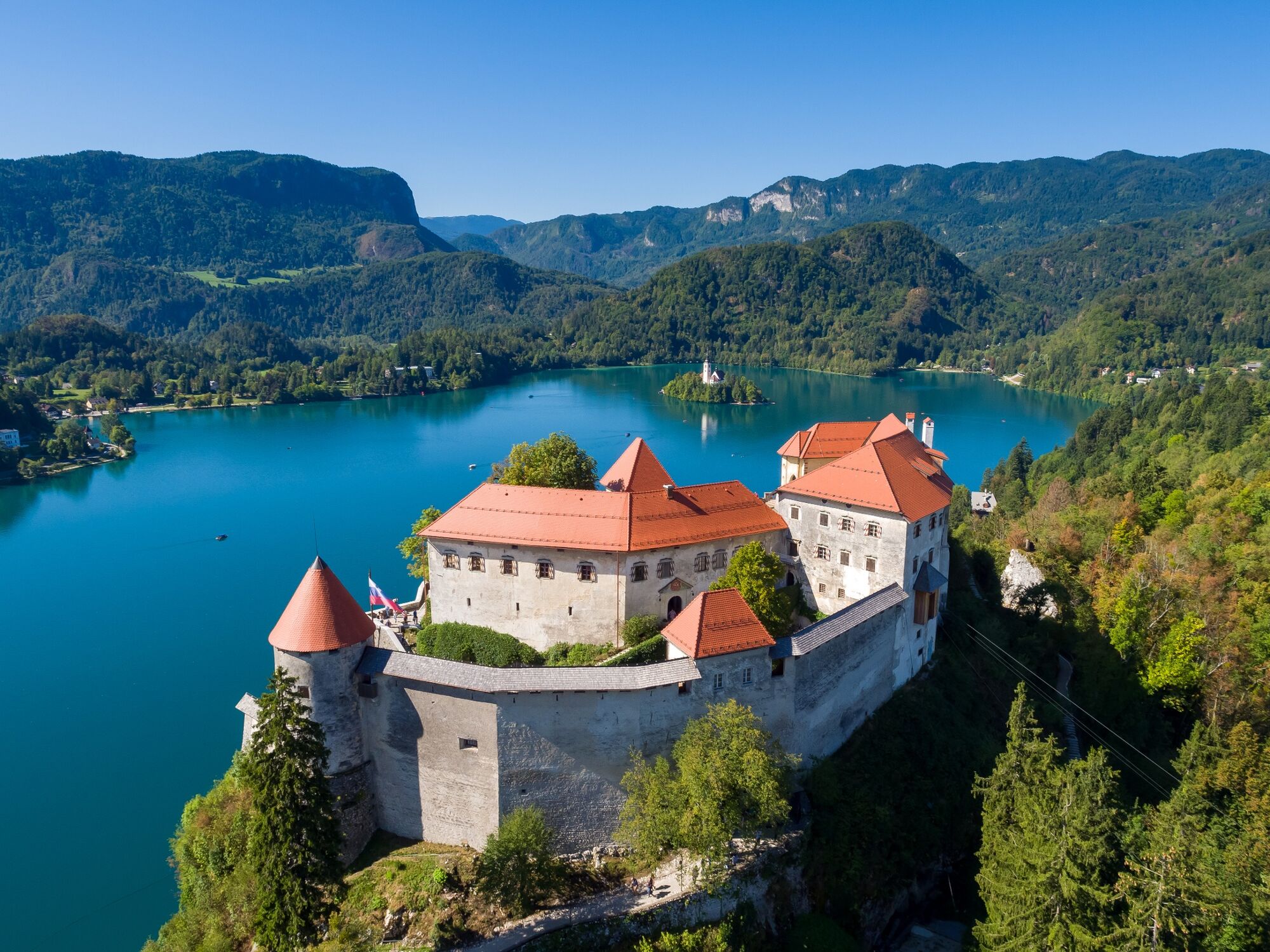
Ascents to Straža, Ojstrica and Bled Castle are added to the classical path around the lake. The above-mentioned sites offer the most iconic panoramic views from the south, west and north.
- Vaikeus
-
tapa
- Arviointi
-
- Reitti
-
Bled0,0 kmStraža1,9 kmOjstrica (610 m)6,4 kmRestavracija Zaka7,9 kmSveti Martin9,9 kmBled10,3 km
- Paras kausi
-
tammihelmimaalishuhtitoukokesäheinäelosyyslokamarrasjoulu
- Korkein kohta
- 641 m
- Kohde
-
Lakeside Promenade on the eastern shore of Lake Bled (480 m).
- Korkeusprofiili
-
 © outdooractive.com
- Kirjoittaja
-
Kiertue Lakeside Panoramic Route käyttää outdooractive.com toimitettu.
GPS Downloads


Yleistä tietoa
Virvokepysäkki
Parantava ilmasto
Kulttuuri/Historiallinen
Flora
Lupaava
Lisää retkiä alueilla
-
Wörthersee - Rosental
1949
-
Gorenjska
141
-
Bled
209