© Turizem Radovljica - Kaja Beton
© Turizem Radovljica - Jošt Gantar
© Turizem Radovljica - Kaja Beton
© Turizem Radovljica - Kaja Beton

- Lyhyt kuvaus
-
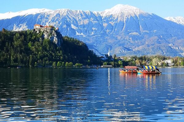
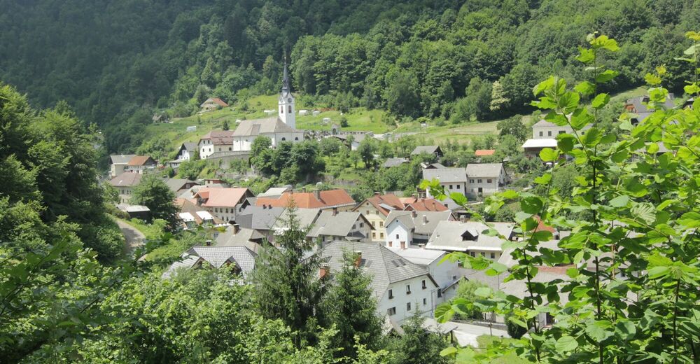
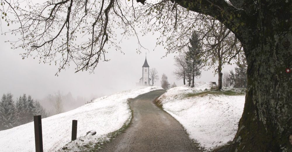
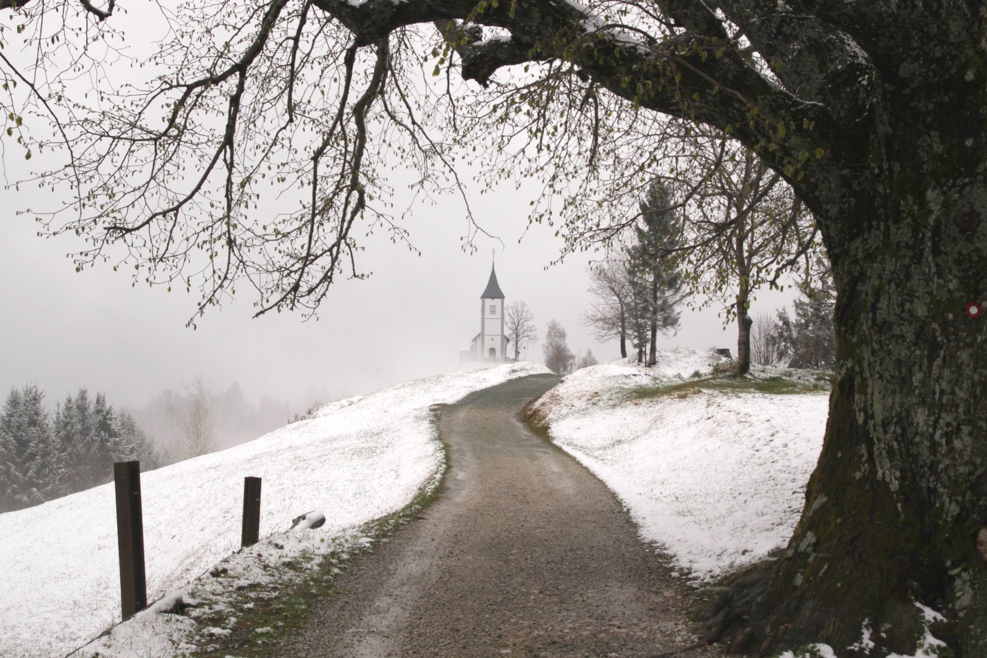
Jamnik is one of the most inspiring and easy accessible viewpoints in Gorenjska region and, with its church, it is also one of the most photographed spots in Slovenia.
- Vaikeus
-
tapa
- Arviointi
-
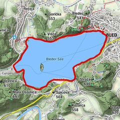
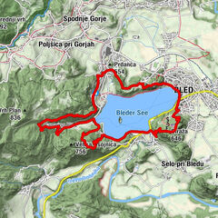
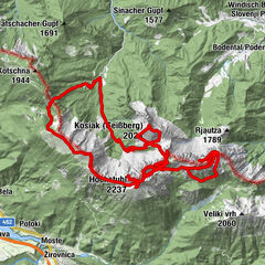
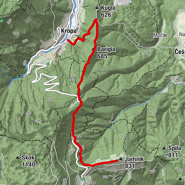
- Reitti
-
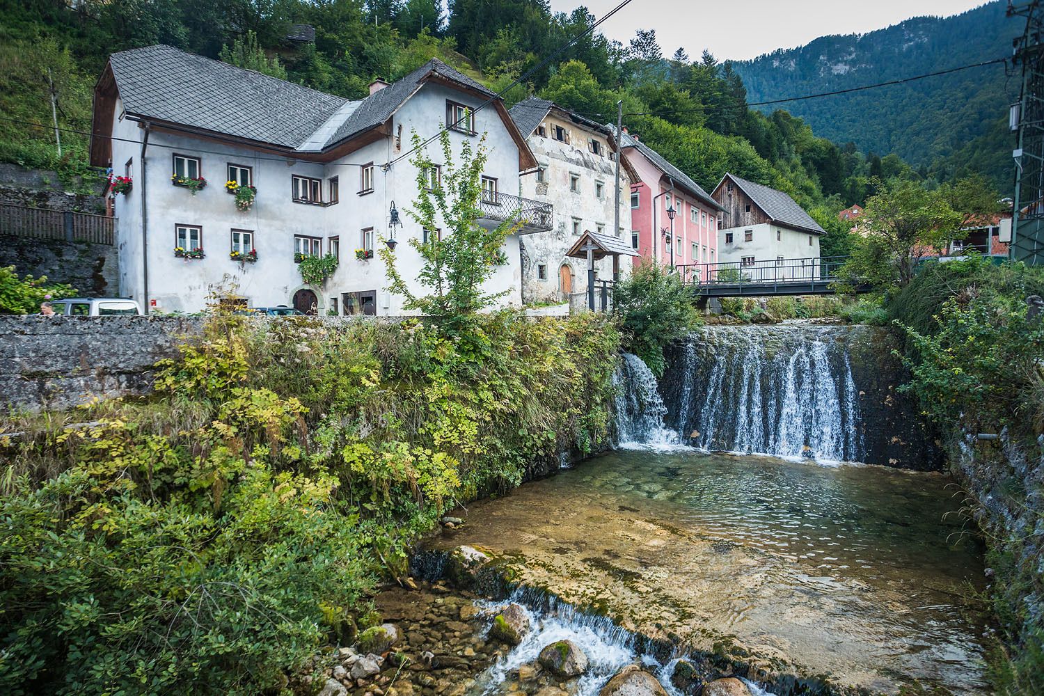
KropaThe Parish Church of Our Lady of Kropa0,2 kmBarigla (685 m)1,1 kmJamnik slope soaring3,4 kmKirche des St. Primus und St. Felician3,4 km
- Paras kausi
-
tammihelmimaalishuhtitoukokesäheinäelosyyslokamarrasjoulu
- Korkein kohta
- 822 m
- Kohde
-
Church of St. Primus and Felician, Jamnik
- Korkeusprofiili
-
 © outdooractive.com

- Kirjoittaja
-
Kiertue From Kropa to Jamnik käyttää outdooractive.com toimitettu.
GPS Downloads


Yleistä tietoa
Kulttuuri/Historiallinen
Lupaava
Lisää retkiä alueilla
-
Klopeiner See - Südkärnten
1163
-
Gorenjska
140
-
Radovljica
166