Mountain bike exploration of the hidden corners of the Kanalski Kolovrat Ridge and the valley of the Idrija River

Mountainbike
© Turizem Dolina Soce - Andreja Križnič
© Turizem Dolina Soce - Andreja Križnič

© Turizem Dolina Soce - Andreja Križnič
© Turizem Dolina Soce - Andreja Križnič
© Turizem Dolina Soce - Andreja Križnič
© Turizem Dolina Soce - Andreja Križnič

© Turizem Dolina Soce - Andreja Križnič

© Turizem Dolina Soce - Andreja Križnič
© Turizem Dolina Soce - Andreja Križnič

© Turizem Dolina Soce - Andreja Križnič

- Lyhyt kuvaus
-
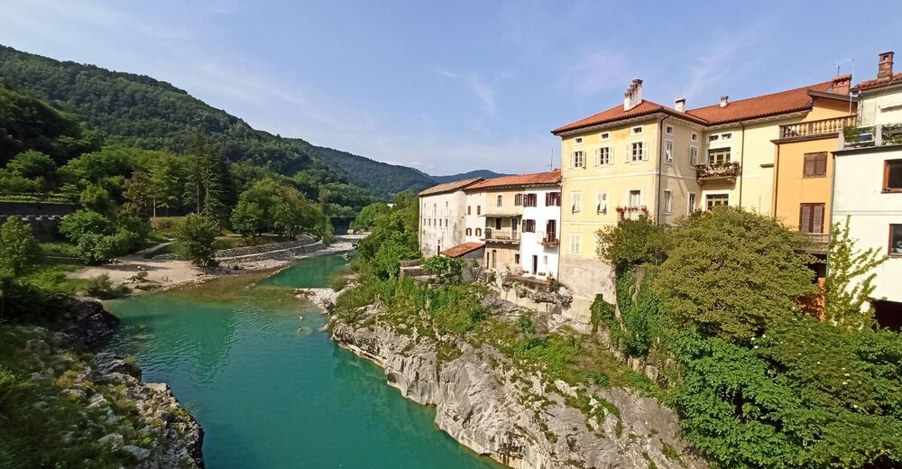
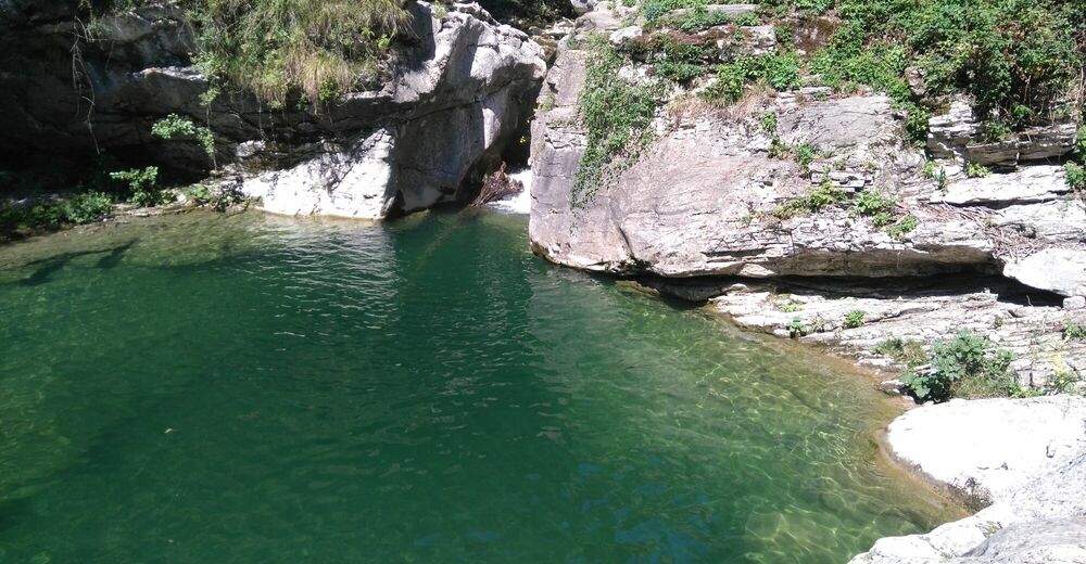
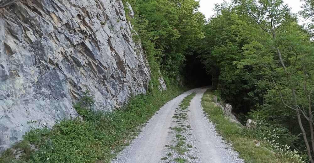
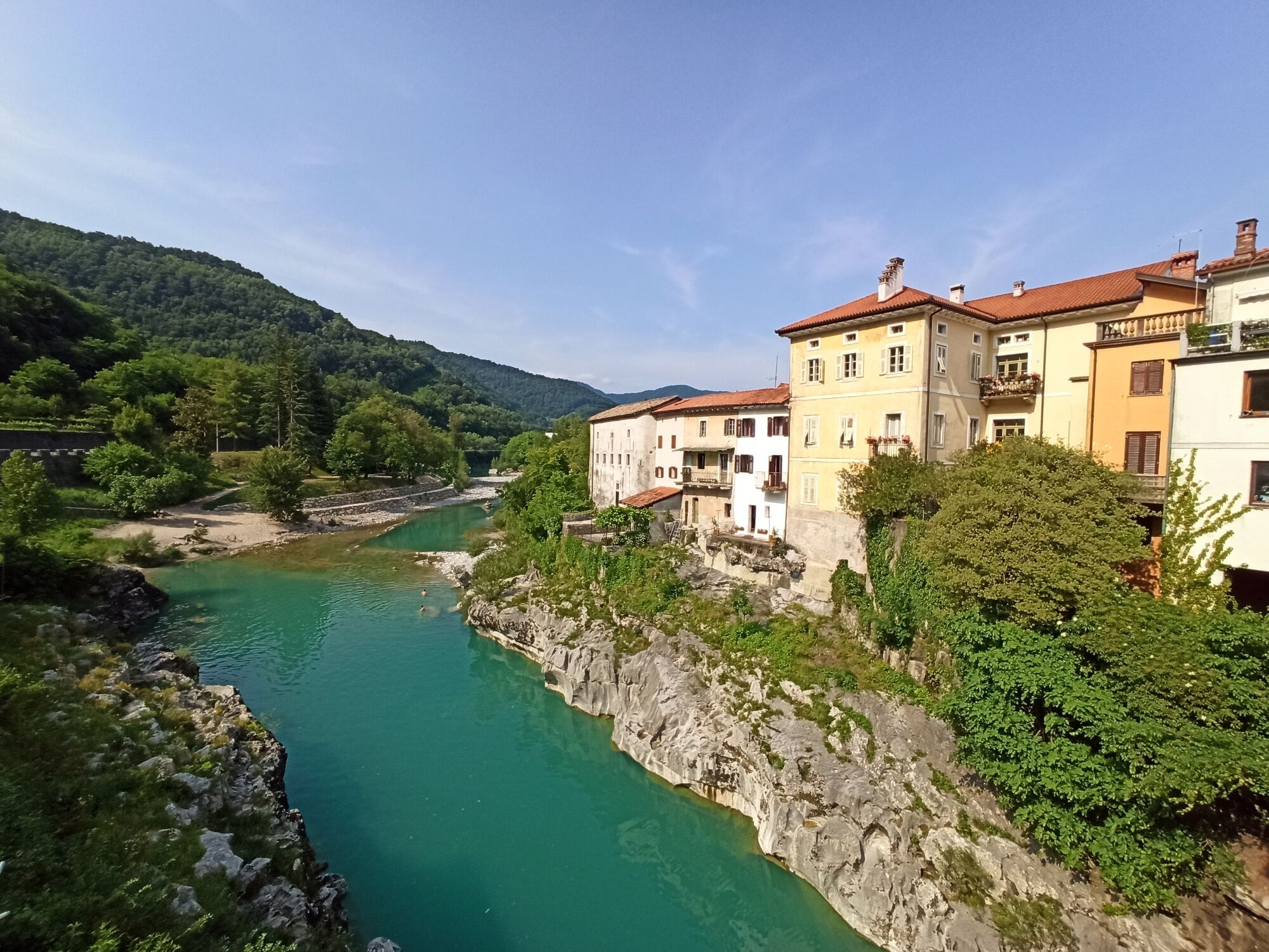
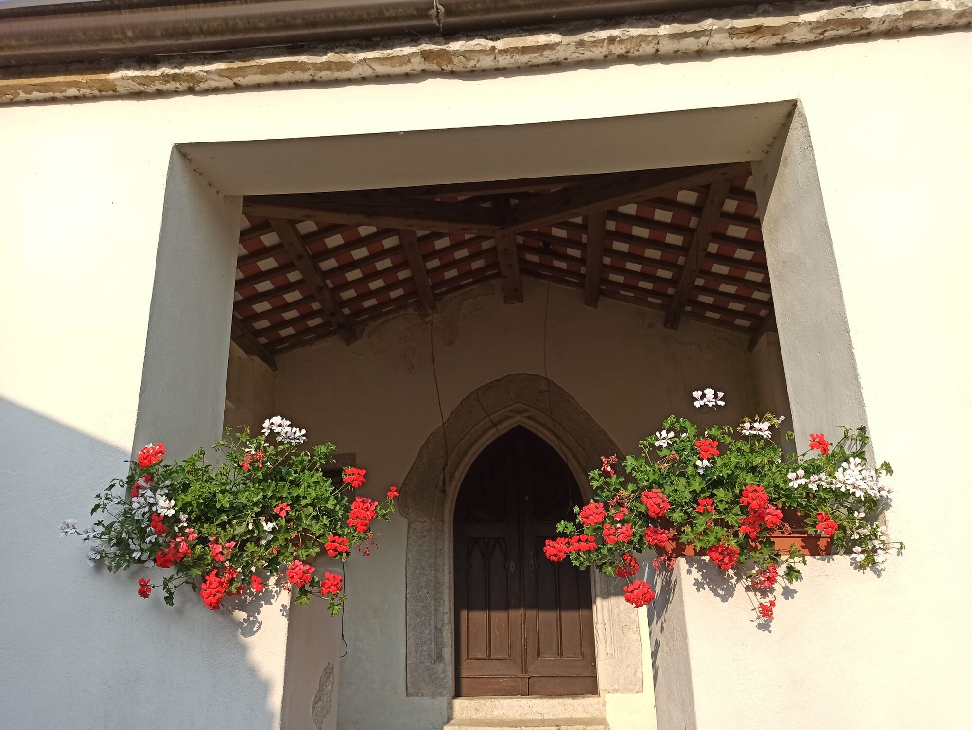
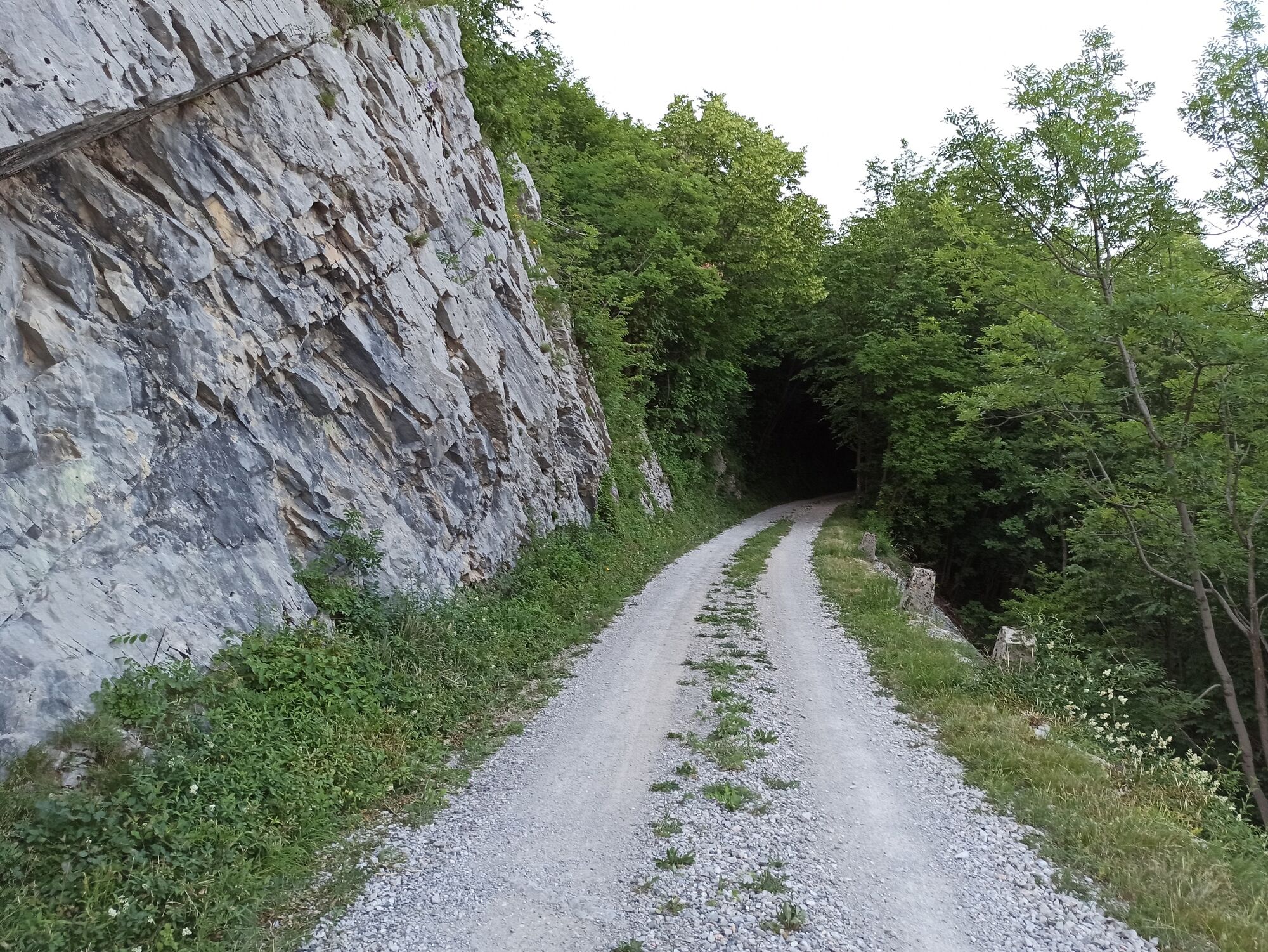
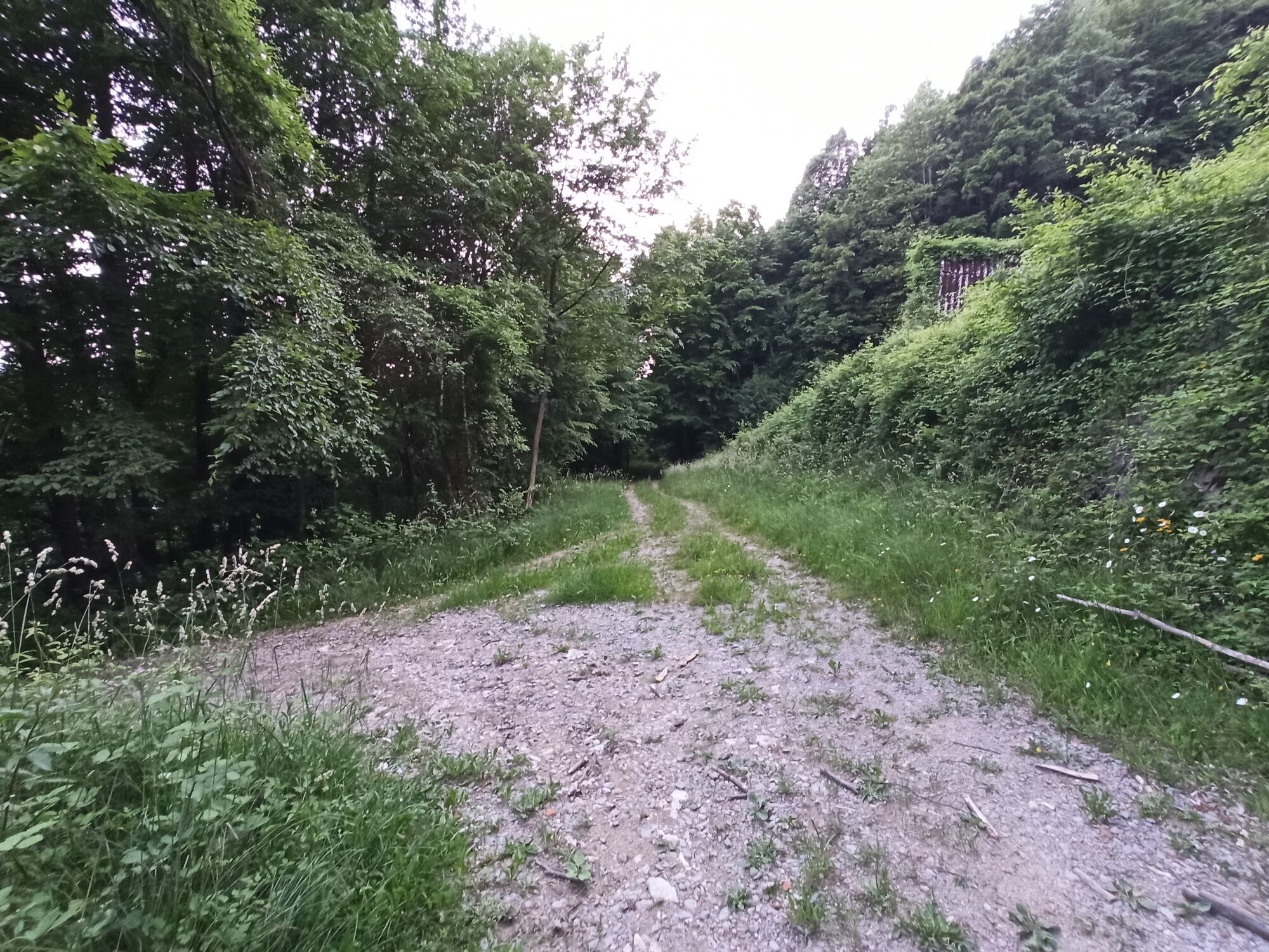
A delightful tour for all mountain bikers seeking remote and secluded trails. This demanding cycling tour is routed through the remote hamlets on the Kanalski Kolovrat Ridge to the village of Kambreško. From there you will descend into the valley of the bordering Idrija River, which awaits rediscovery just like the Sleeping Beauty.
- Vaikeus
-
vaikea
- Arviointi
-
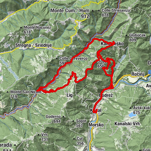
- Reitti
-
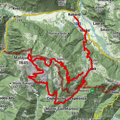
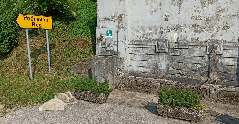
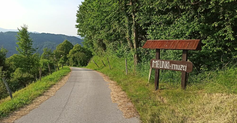
Cerkev Marije Vnebovzete0,1 kmKanalburg (106 m)0,2 kmKriznic0,2 kmGoregna di Canale (247 m)0,4 kmOkrepčevalnica Pirih0,6 kmPečno0,7 kmBodres1,5 kmAiba2,5 kmCumeri6,9 kmKambreško8,6 kmPonte Clinaz11,8 kmMelina13,8 kmSalamant14,7 kmBordon15,2 kmValico Molino Vecchio17,0 kmBritof17,5 kmSv. Kancijan17,5 kmFilej18,2 kmStrmec18,5 kmMelinki20,6 kmKostanjevica21,5 kmGorenje Nekovo23,6 kmČelo (663 m)24,3 kmCumeri25,4 kmKukeč (641 m)25,5 kmPotravno28,1 kmAiba30,5 kmBodres31,7 kmPečno32,5 kmOkrepčevalnica Pirih32,8 kmGoregna di Canale (247 m)33,0 kmCerkev Marije Vnebovzete33,3 kmKriznic33,3 kmKanalburg (106 m)33,4 km
- Paras kausi
-
tammihelmimaalishuhtitoukokesäheinäelosyyslokamarrasjoulu
- Korkein kohta
- 637 m
- Kohde
-
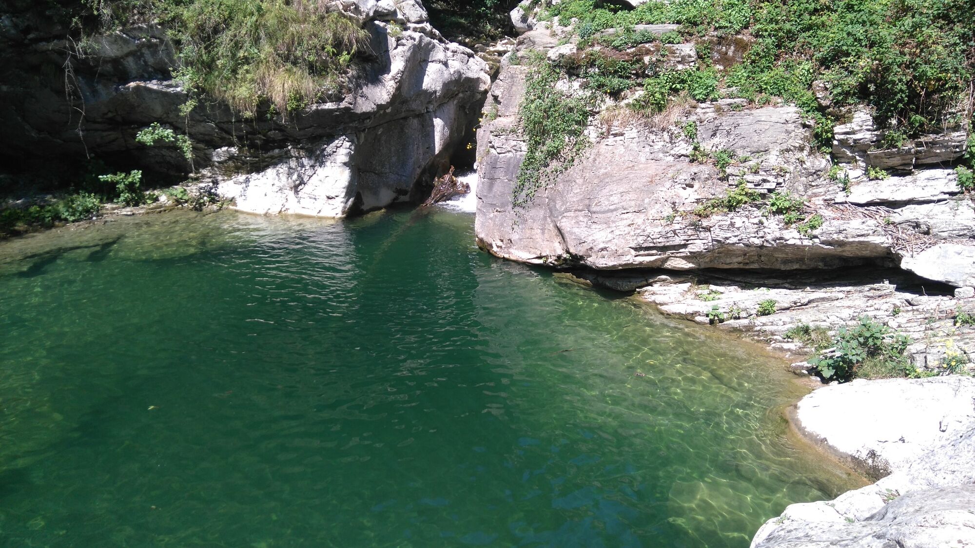
Valley of the Idrija River
- Korkeusprofiili
-
 © outdooractive.com


- Kirjoittaja
GPS Downloads


Yleistä tietoa
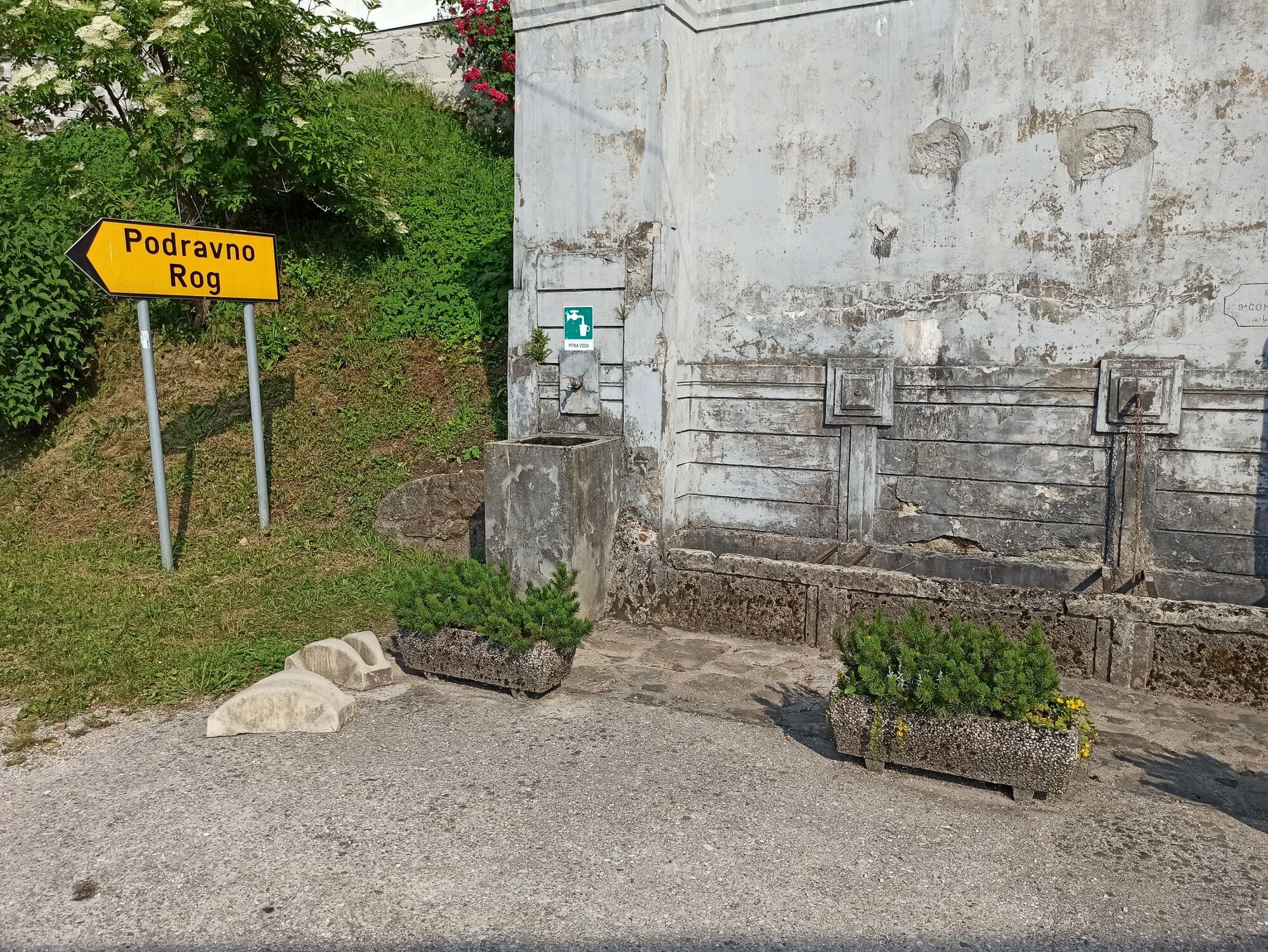
Virvokepysäkki
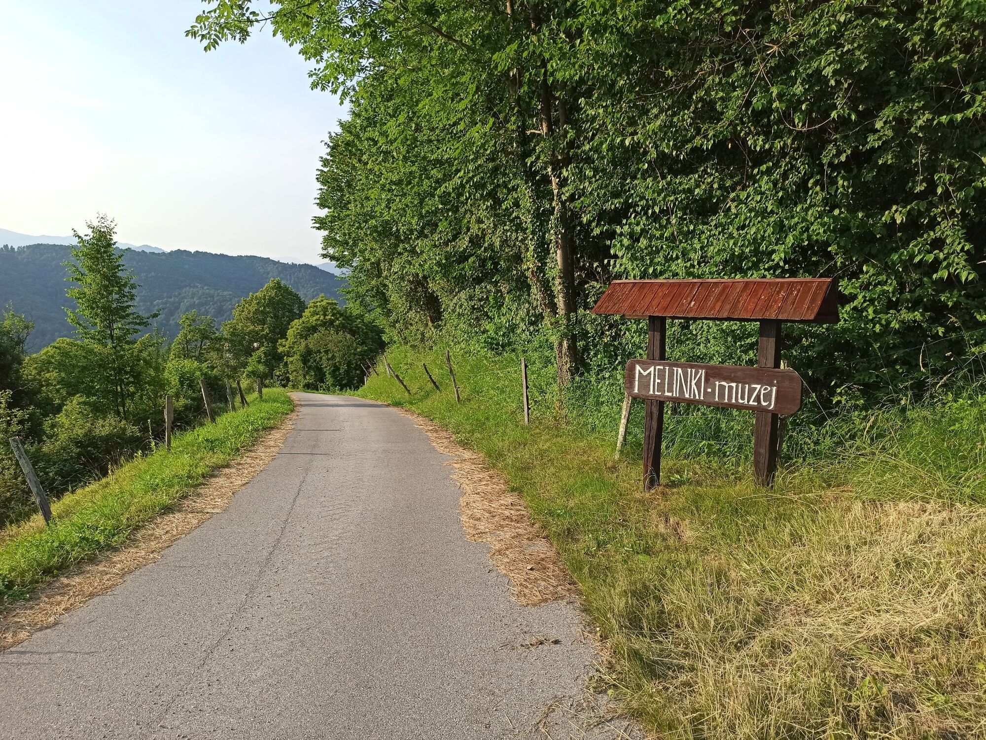
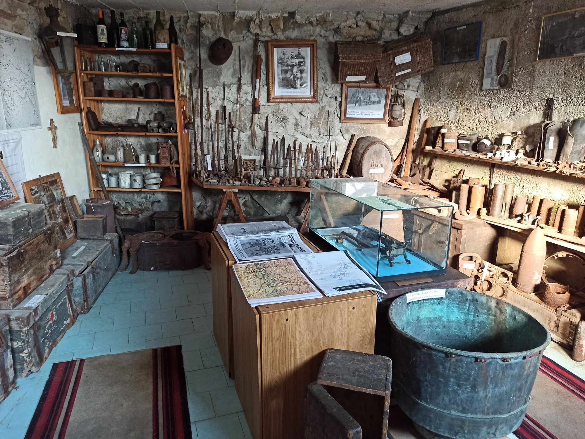
Kulttuuri/Historiallinen
Sisäpiirin vinkki
Lupaava
Lisää retkiä alueilla