© ZTKMŠ Brda - Damijan Simčič ZOSO
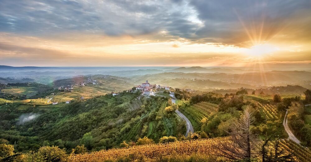
© ZTKMŠ Brda - ZOSO Photography

© ZTKMŠ Brda - Damijan Simčič

© Julische Alpen - Mitja Sodja


- Lyhyt kuvaus
-
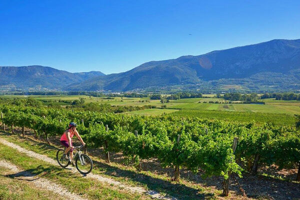
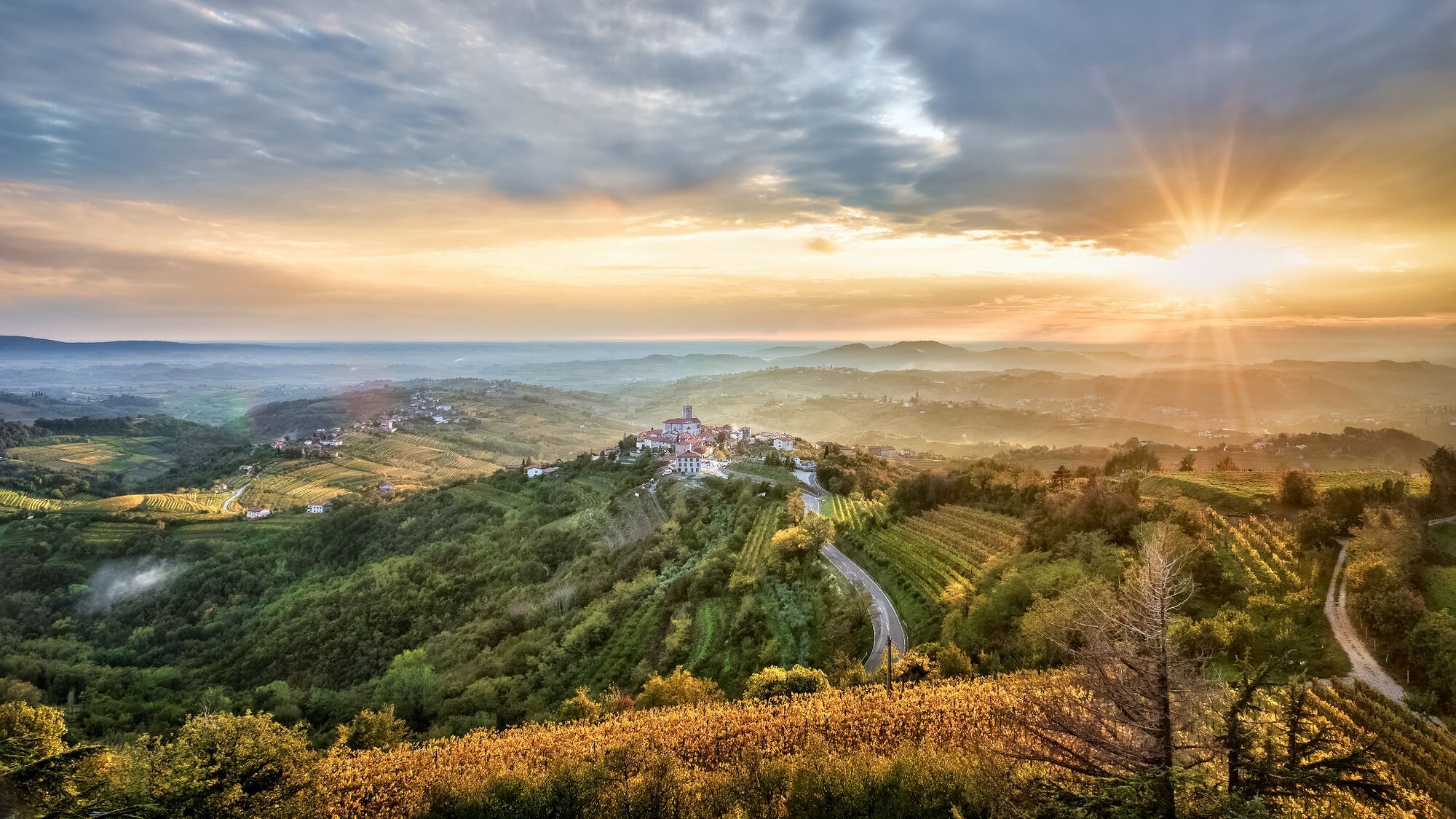
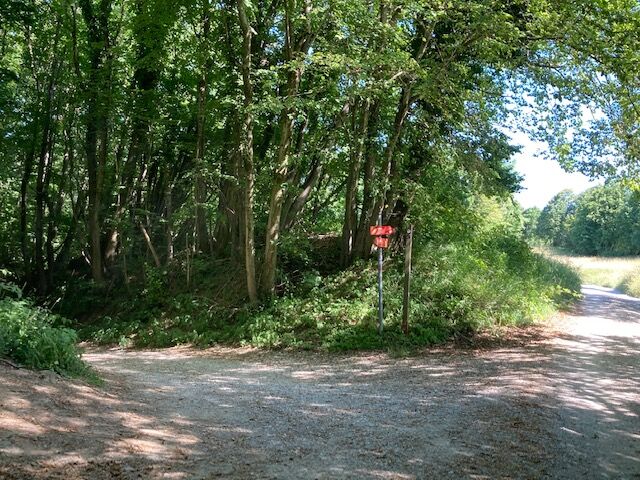
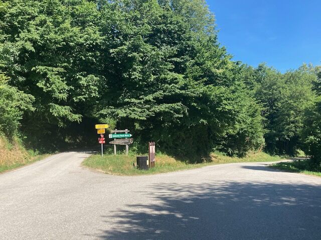
Descent from Goriška Brda into the valley of the beautiful Soča river.
- Vaikeus
-
helppo
- Arviointi
-
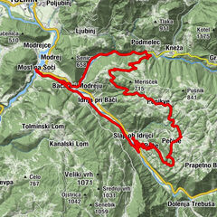
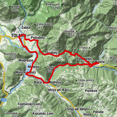
- Reitti
-
Na KlancuHiša MaricaSan Martin Hotel/Restavracija/Enoteka0,1 kmSan Martino0,1 kmImegna0,6 kmAkrep.pri MARJOTU Bizjak Izidor1,6 kmMejnik (321 m)1,7 kmGugnazze2,2 kmSveti Ahac8,9 kmBrilesse9,5 kmGostilna pri Mostu10,4 kmPlava10,4 km
- Paras kausi
-
tammihelmimaalishuhtitoukokesäheinäelosyyslokamarrasjoulu
- Korkein kohta
- 390 m
- Kohde
-
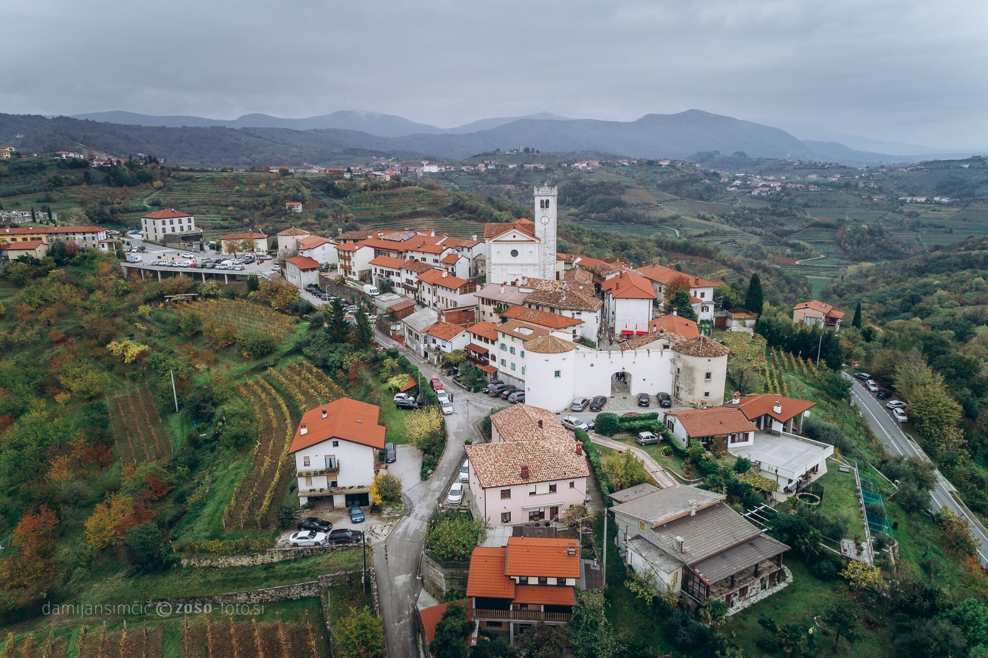
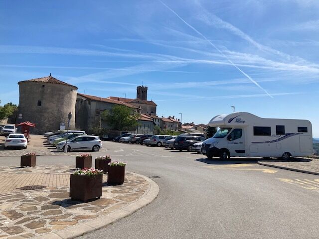
Plave
- Korkeusprofiili
-
 © outdooractive.com
- Kirjoittaja
-
Kiertue GORIŠKA BRDA E1: Šmartno – Plave käyttää outdooractive.com toimitettu.
GPS Downloads


Yleistä tietoa
Lupaava
Lisää retkiä alueilla
-
Brda
25
-
Nova Gorica
5