© Turizem Dolina Soce - Ksenija Vogrinc
© Turizem Dolina Soce - Ksenija Vogrinc
© Turizem Dolina Soce - Ksenija Vogrinc
© Turizem Dolina Soce - Ksenija Vogrinc
© Turizem Dolina Soce - Ksenija Vogrinc
© Turizem Dolina Soce - Ksenija Vogrinc
© Turizem Dolina Soce - Ksenija Vogrinc
© Turizem Dolina Soce - Ksenija Vogrinc
© Turizem Dolina Soce - Ksenija Vogrinc
© Turizem Dolina Soce - Ksenija Vogrinc

- Lyhyt kuvaus
-
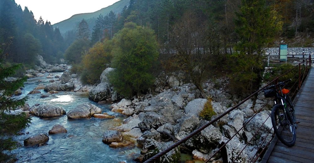
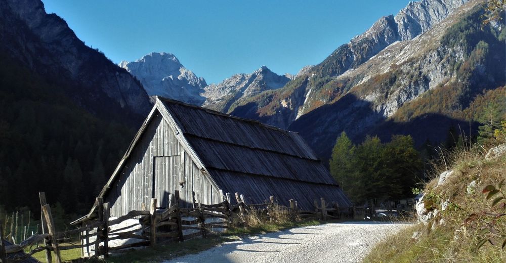
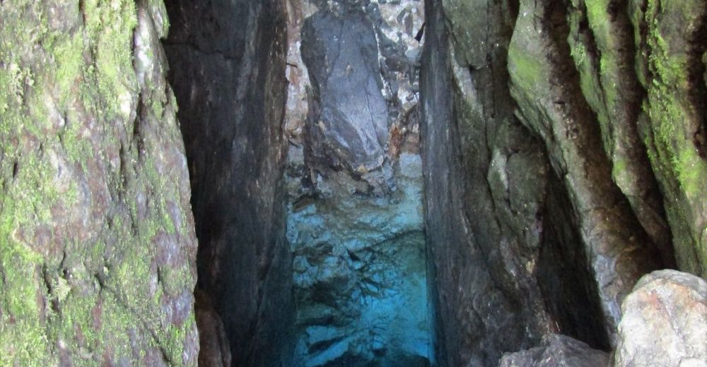
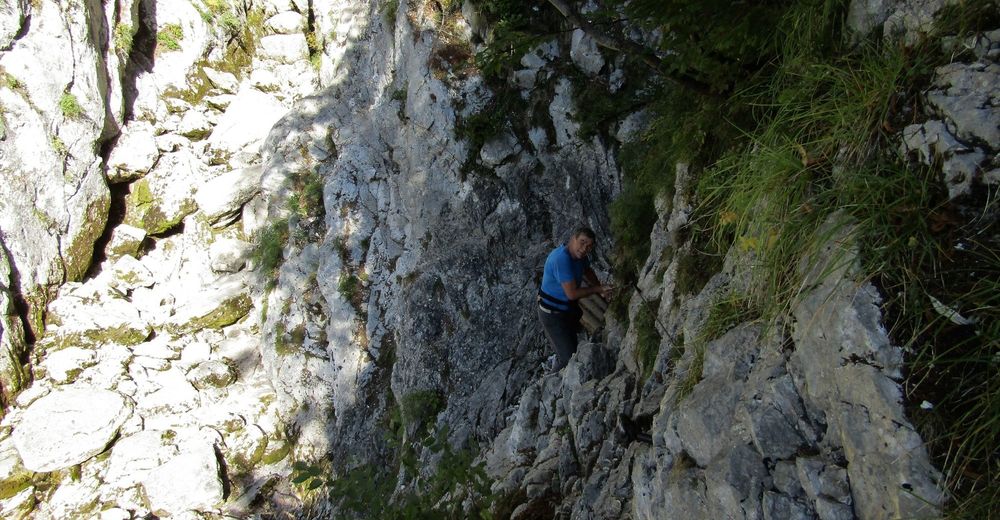
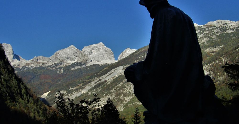
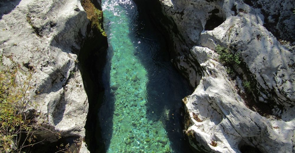
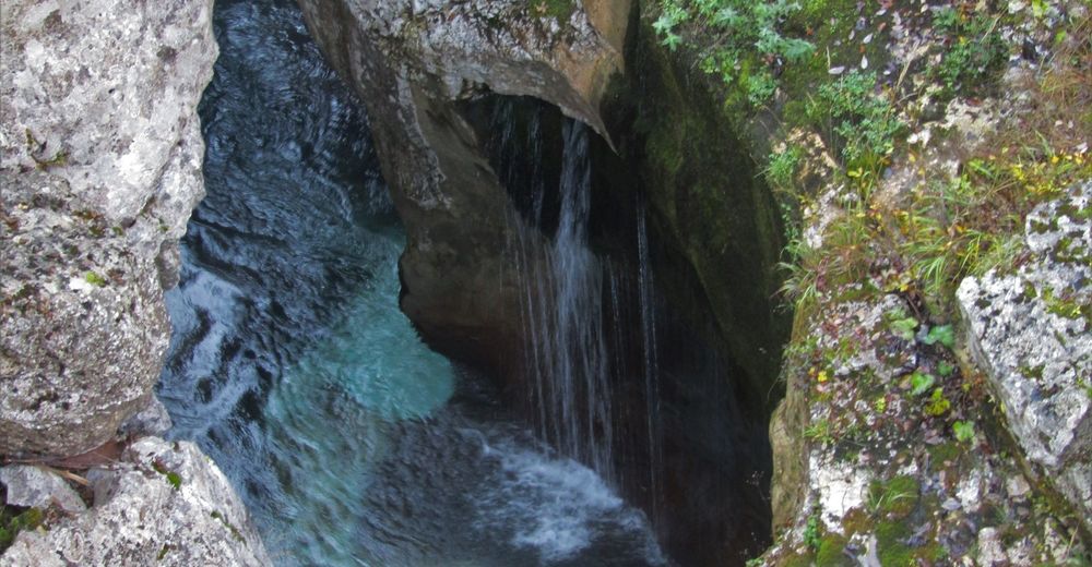
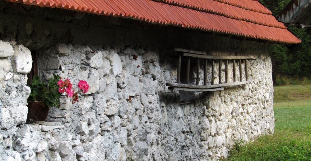
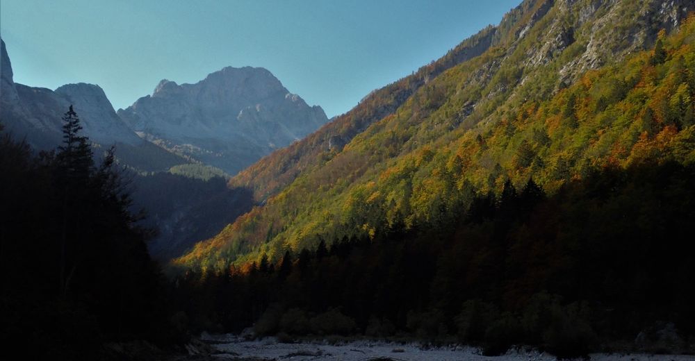
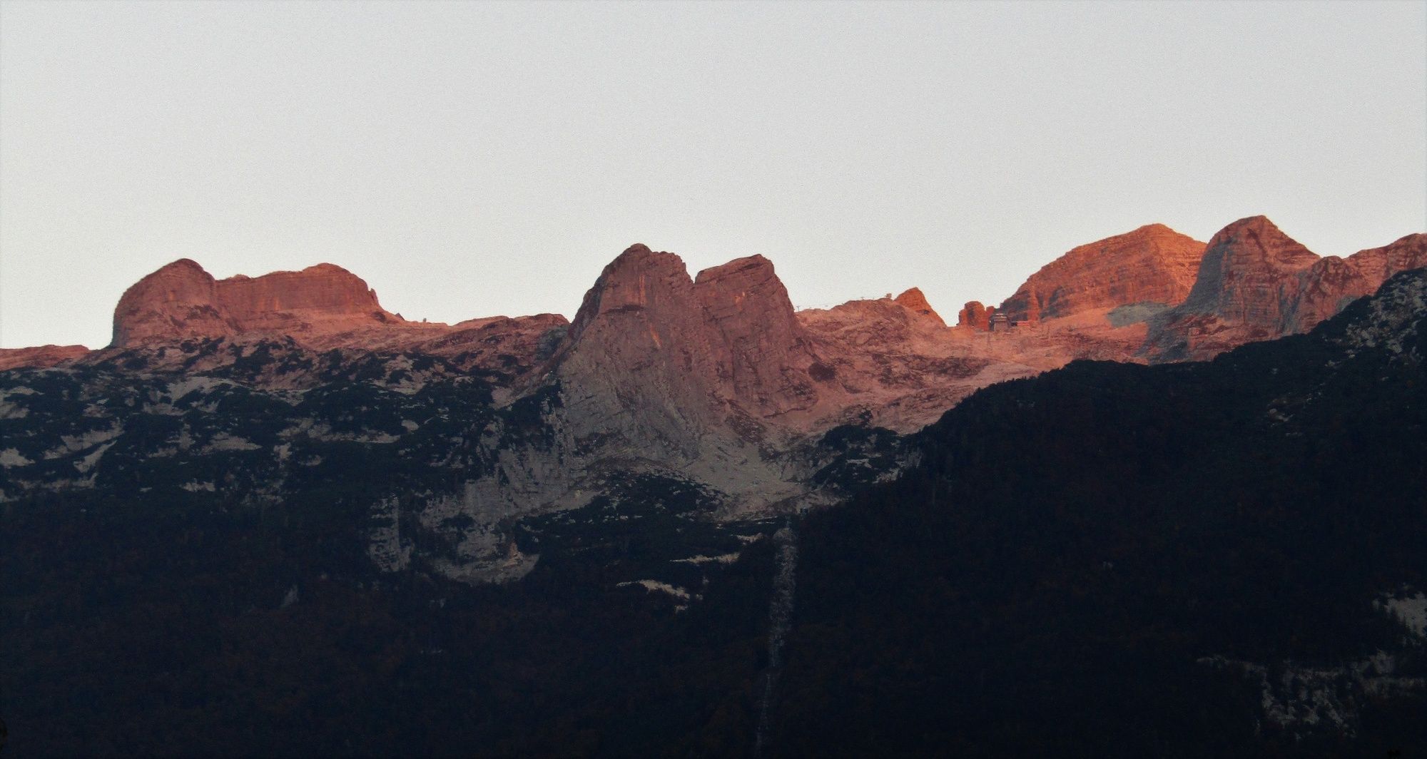
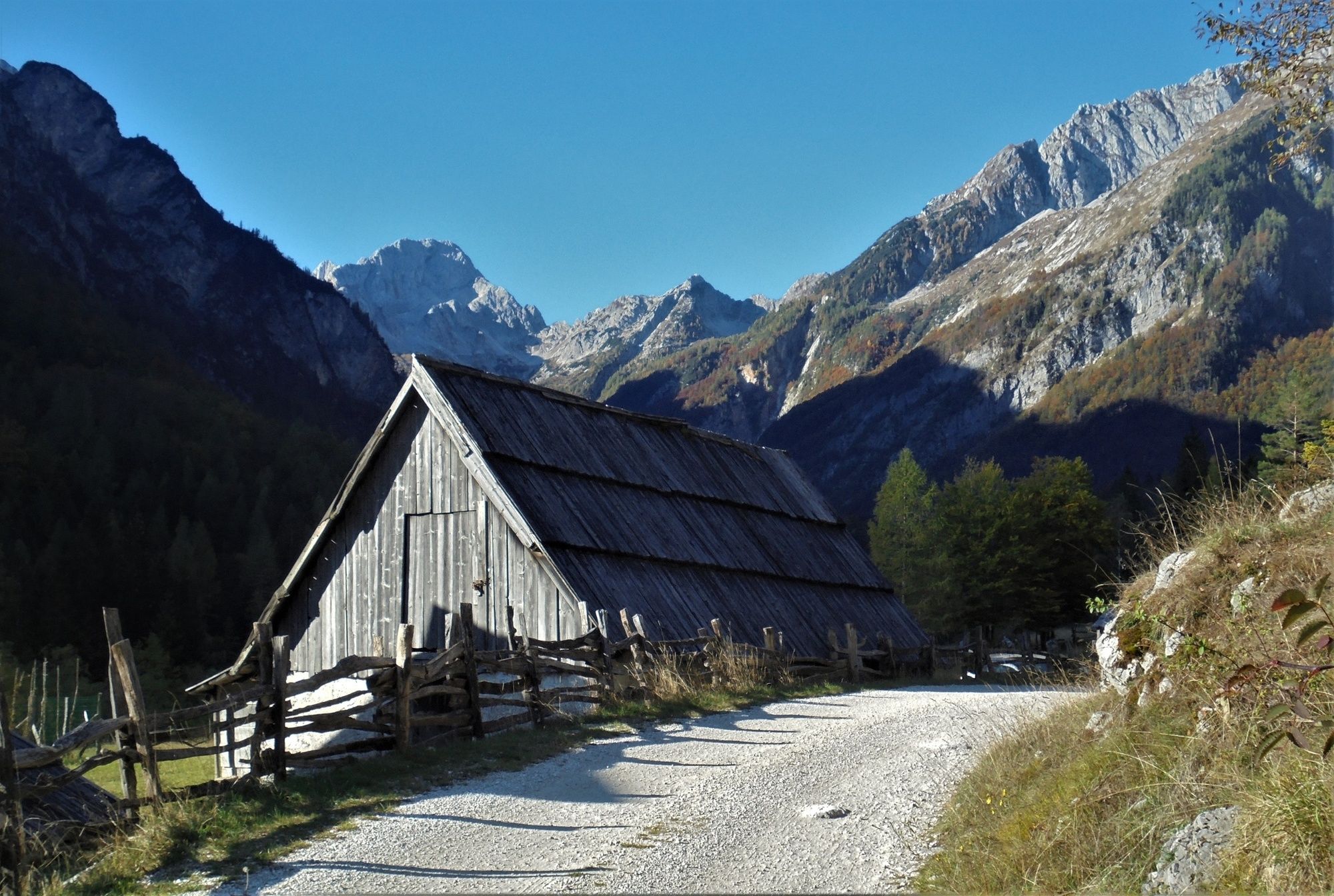
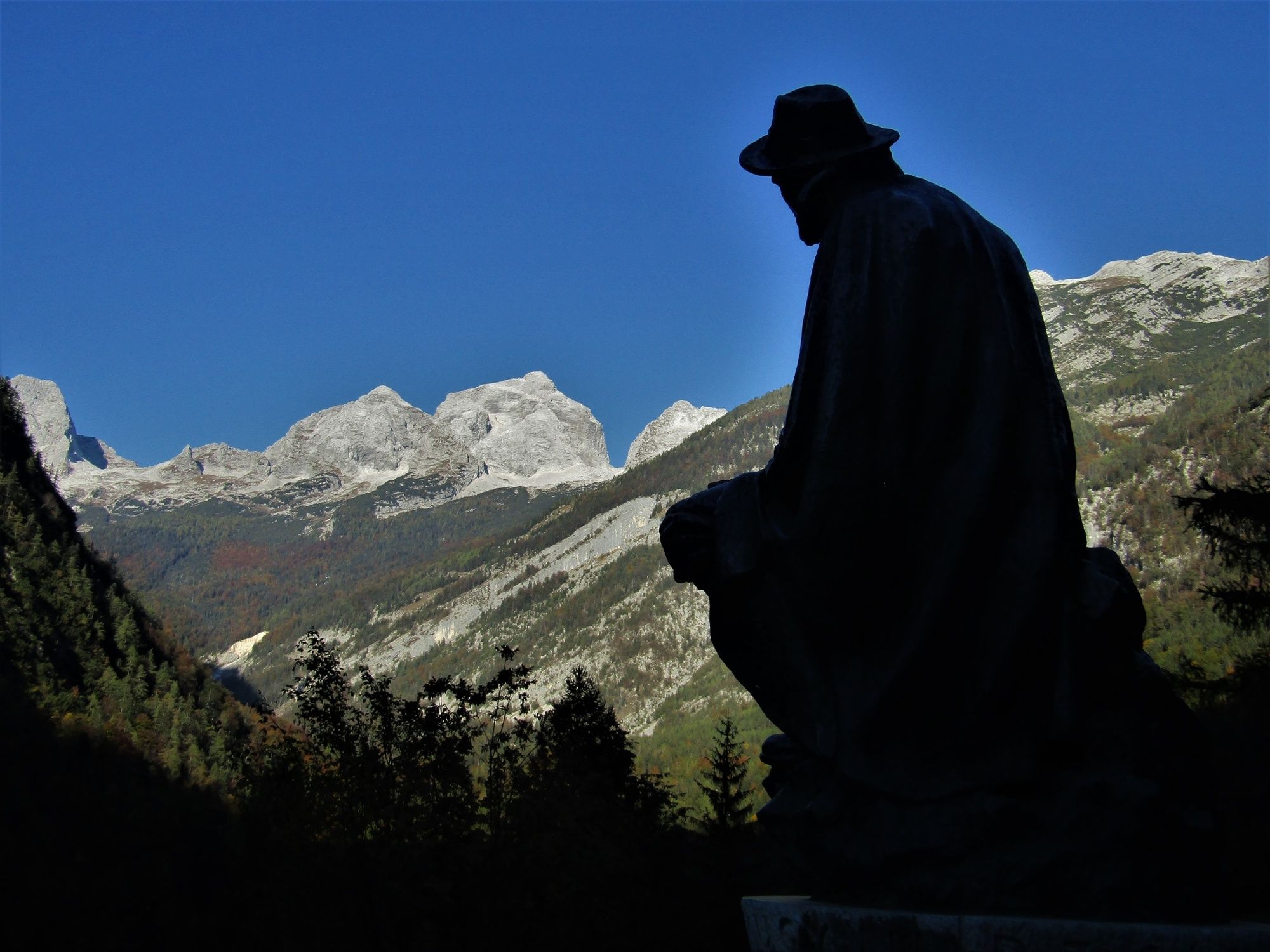
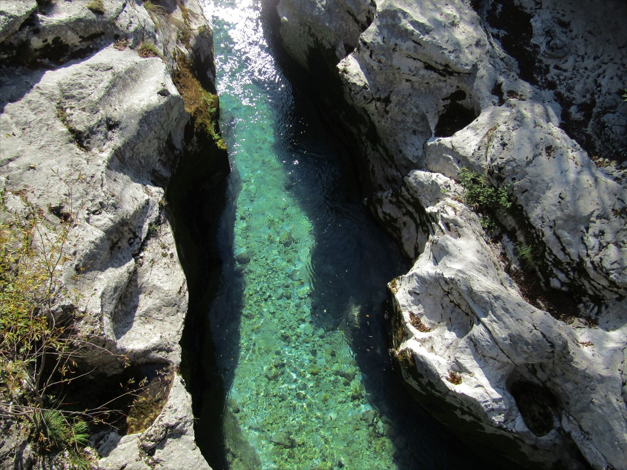
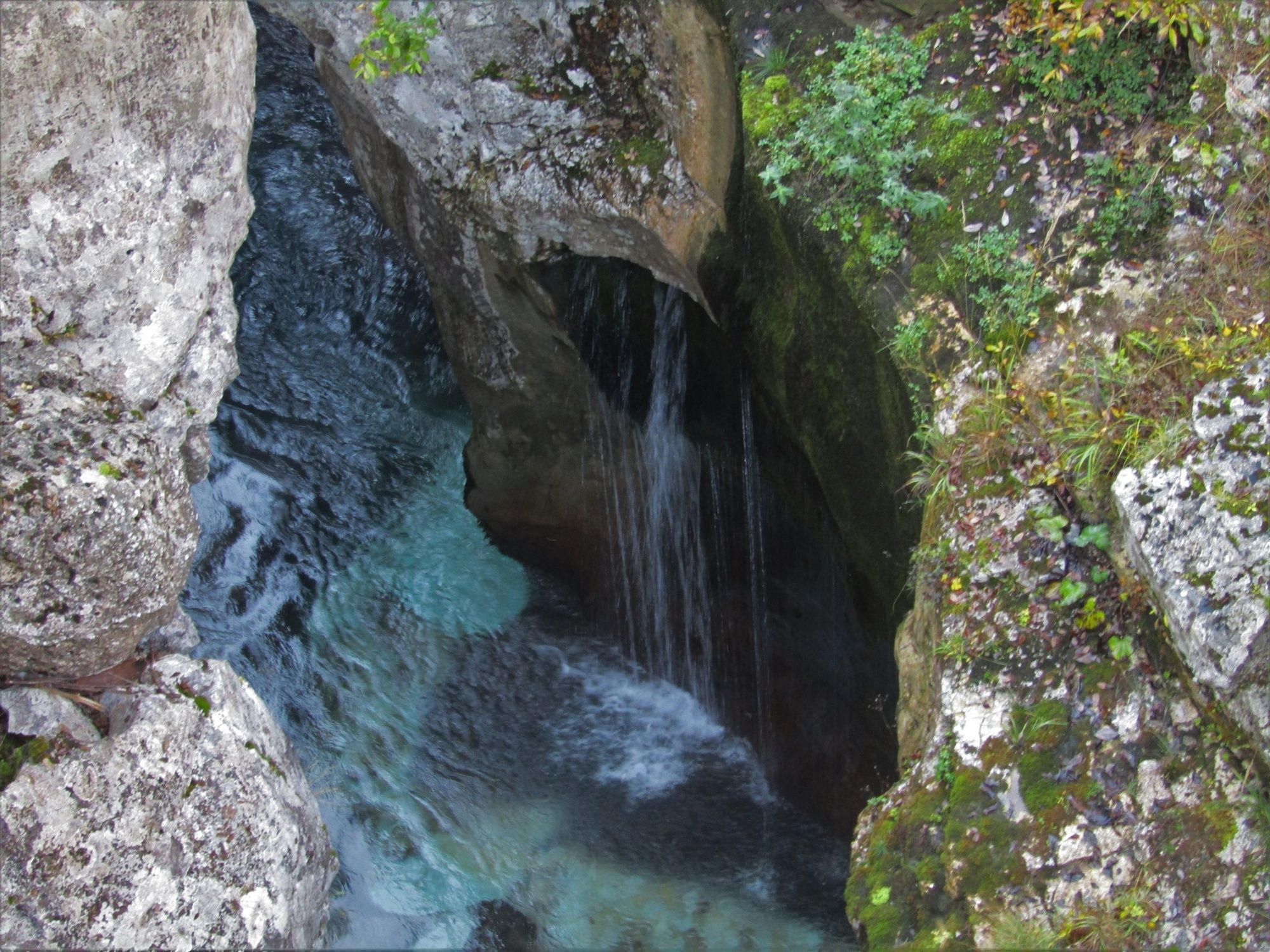
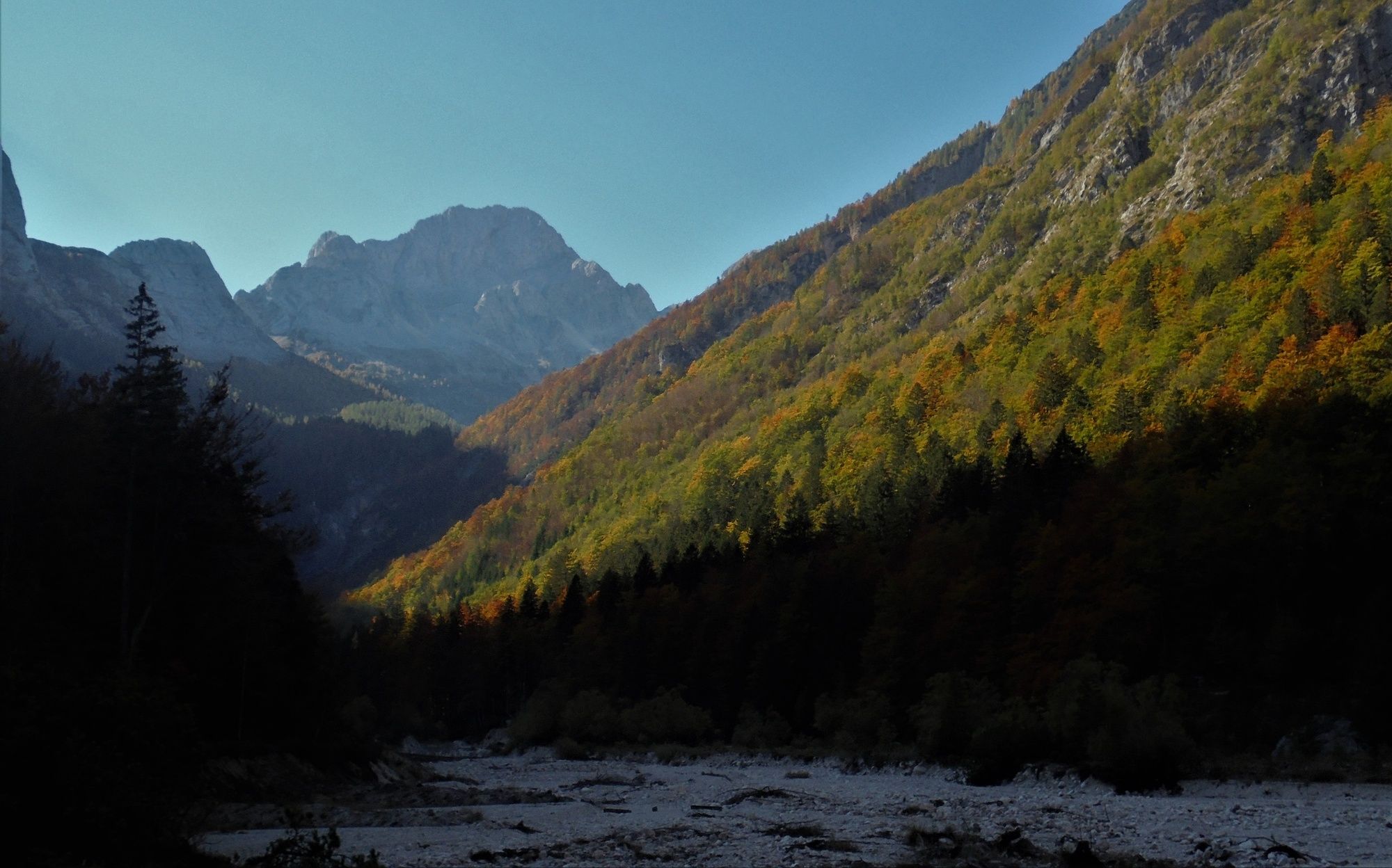
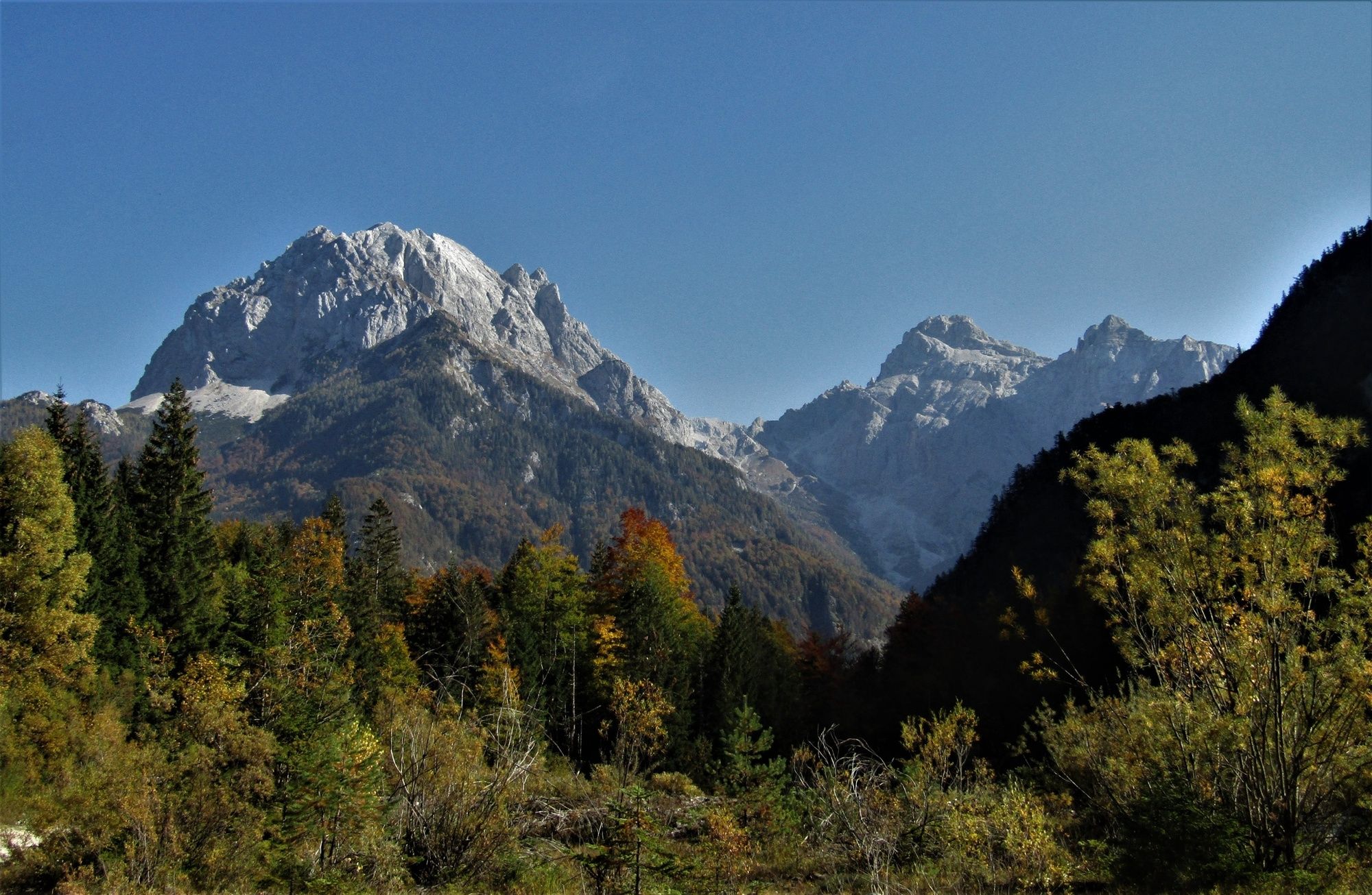
This trail runs through the Trenta Valley which is regarded as one of the nicest Alpine valleys. The major part of the trail follows the emerald Soča River and provides cyclists with splendid views of the summits towering over the river.
- Vaikeus
-
vaikea
- Arviointi
-
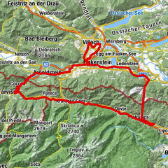
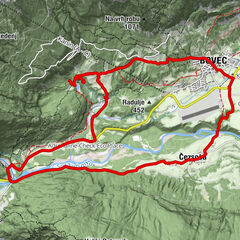
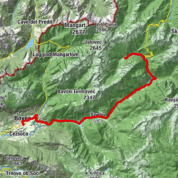
- Reitti
-
Flitsch0,6 kmKal-Koritnica (460 m)4,1 kmHedvika4,2 kmVzporedni vodni kanal5,2 kmPodklanec9,2 kmŽupnijska cerkev sv. Jožefa11,8 kmSoča11,9 kmGostišče Andrejc12,0 kmGostilna Metoja19,5 kmPizzerija in špageterija Trenta20,4 kmTrentathal20,6 kmCerkev Device Marije Lavretanske23,4 kmPri Cerkvi23,4 kmKoča pri izviru Soče25,9 kmKoča pri izviru Soče29,0 kmCerkev Device Marije Lavretanske31,7 kmPri Cerkvi31,7 kmTrentathal34,2 kmPizzerija in špageterija Trenta34,4 kmGostilna Metoja35,4 kmGostišče Andrejc42,8 kmSoča43,0 kmŽupnijska cerkev sv. Jožefa43,1 kmPodklanec45,8 kmVzporedni vodni kanal49,6 kmKal-Koritnica (460 m)50,8 kmHedvika50,8 kmFlitsch54,5 km
- Paras kausi
-
tammihelmimaalishuhtitoukokesäheinäelosyyslokamarrasjoulu
- Korkein kohta
- 961 m
- Kohde
-
Zadnja Trenta Valley
- Korkeusprofiili
-
 © outdooractive.com


-

-
KirjoittajaKiertue Cycling to the valley of Zadnja Trenta käyttää outdooractive.com toimitettu.
GPS Downloads


Yleistä tietoa
Lupaava
Lisää retkiä alueilla