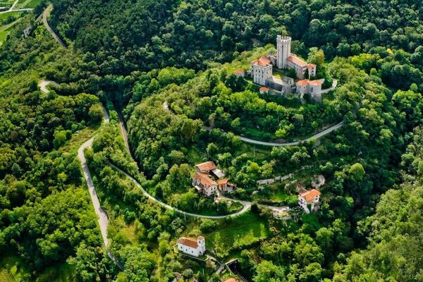
© Vipava - Tal - Sonja Mužina

© Vipava - Tal - Sonja Mužina

© Vipava - Tal - Sonja Mužina

© Vipava - Tal - Sonja Mužina

- Lyhyt kuvaus
-
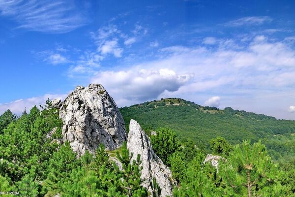
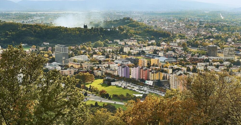
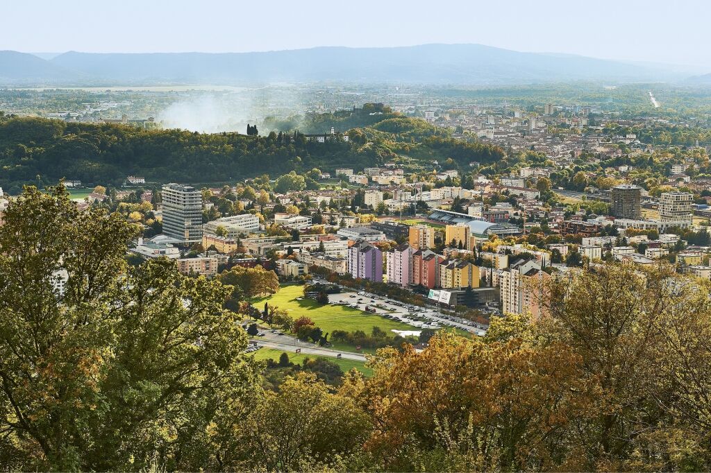
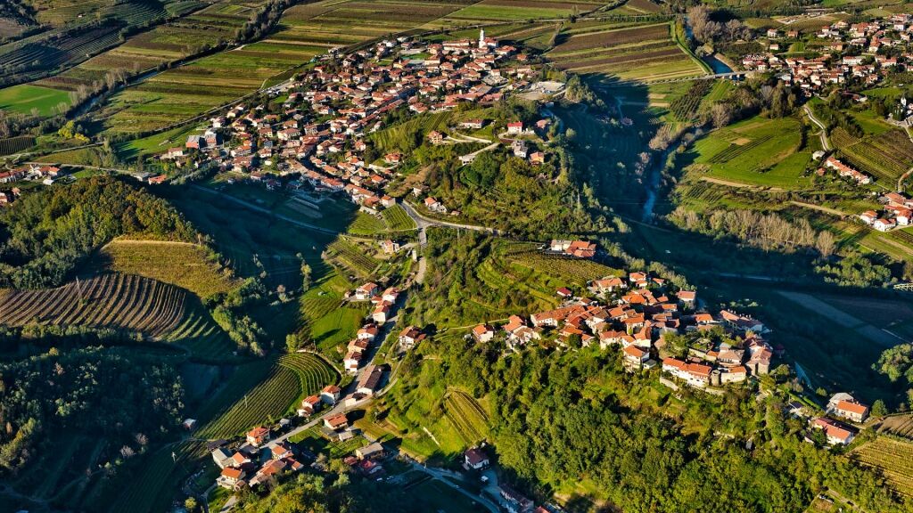
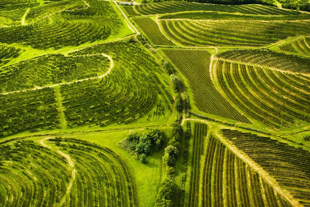
This cycling adventure through the lower Vipava Valley, in and along the diverse landscape, will have an impact on any cyclist who visits. Pedal past the vineyards and orchards, through the valley’s villages and towns, along paved roads that are just right for cyclists who don’t need steep inclines to enjoy themselves.
- Vaikeus
-
helppo
- Arviointi
-
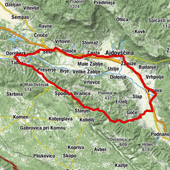
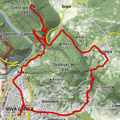
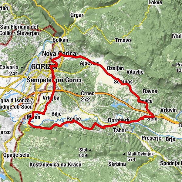
- Reitti
-
GörzNova Gorica0,3 kmPod trojico1,2 kmPri hrastu1,2 kmCronberg bei Görz1,5 kmAisowitz im Rosenthal4,3 kmOttavi7,6 kmSchönpass9,1 kmOssecca11,1 kmZernutsch (192 m)12,9 kmKunzendorf (153 m)15,2 kmCerkev sv. Mihaela15,3 kmWeinstein16,3 kmSalosche19,2 kmKlemšeti19,2 kmDornberg (61 m)19,9 kmDrack20,4 kmWarde20,7 kmDietenhof23,5 kmOsseglie24,4 kmLuchesia25,6 kmTureli26,5 kmRentschach26,8 kmMerliachi29,2 kmVertozza31,3 kmStaro mesto33,3 kmOrechelach33,7 kmMerna34,0 kmBreg34,0 kmV klancu34,1 kmGornji Miren34,2 kmRutinca37,5 kmLuna37,7 kmVertoyba37,7 kmSankt Peter (72 m)39,8 kmRestavracija40,0 kmVenuti40,6 kmGörz41,9 kmPrestau42,1 kmNova Gorica44,8 km
- Paras kausi
-
tammihelmimaalishuhtitoukokesäheinäelosyyslokamarrasjoulu
- Korkein kohta
- 173 m
- Kohde
-
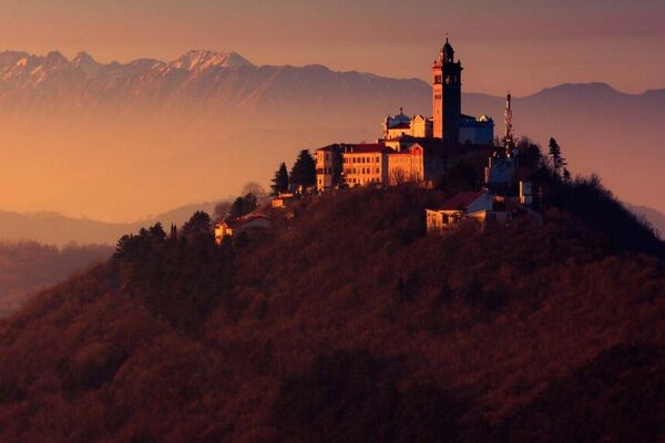
The heart of Nova Gorica
- Korkeusprofiili
-
 © outdooractive.com

- Kirjoittaja
-
Kiertue The Lower Vipava Valley käyttää outdooractive.com toimitettu.
GPS Downloads


Yleistä tietoa
Virvokepysäkki
Kulttuuri/Historiallinen
Lupaava
Lisää retkiä alueilla