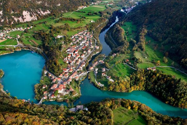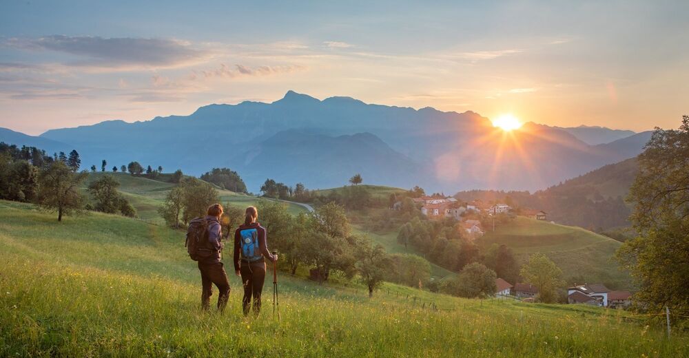
© Turizem Dolina Soce - Jošt Gantar

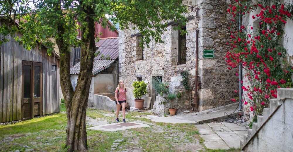
© Turizem Dolina Soce - Jošt Gantar
© Turizem Dolina Soce - Jošt Gantar

- Lyhyt kuvaus
-
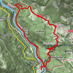
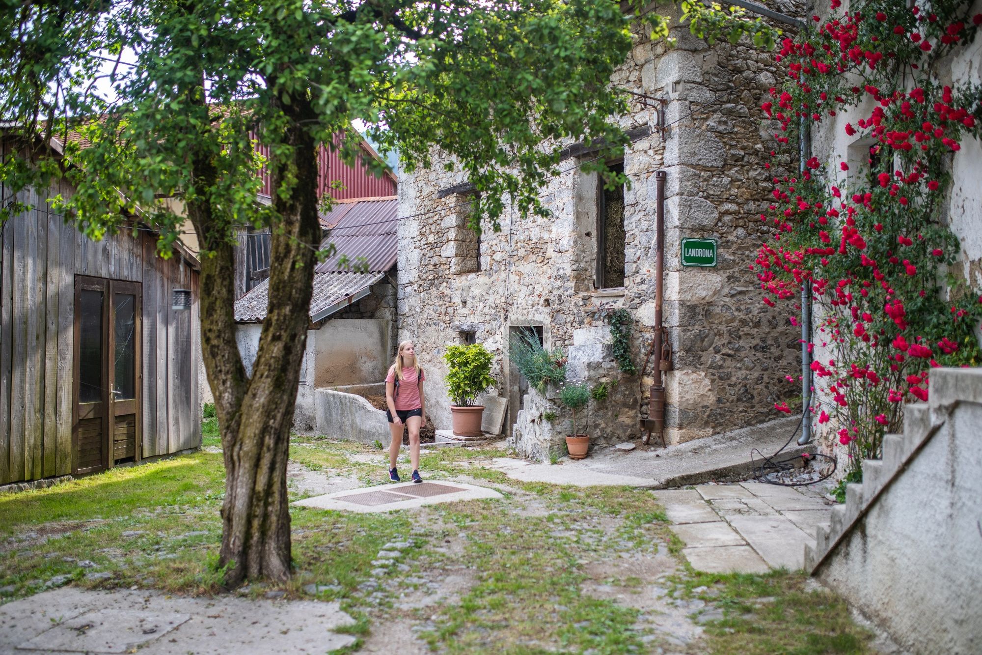
The village of Livek, the place between here and there – between the Slavonic and the Roman, between the Alpine and the Mediterranean area, between the Soča and the Nadiža River Basins. Between Mt. Kolovrat (1243 m) and Mt. Matajur (1642 m) you can find the following villages: Livek, Golobi, Šturmi, Plohi, Piki, Perati, Avsa, Jevšček and Livške Ravne.
- Vaikeus
-
helppo
- Arviointi
-
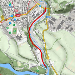
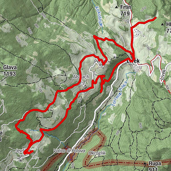
- Reitti
-
LibeggPeruth1,3 kmAlsbach2,1 kmJelenov Breg pod Matajurjem2,1 kmJevšček4,4 kmAlsbach6,0 kmPeruth6,5 kmLibegg7,6 km
- Paras kausi
-
tammihelmimaalishuhtitoukokesäheinäelosyyslokamarrasjoulu
- Korkein kohta
- 950 m
- Korkeusprofiili
-
 © outdooractive.com


-

-
KirjoittajaKiertue Livek Themed Trail käyttää outdooractive.com toimitettu.
GPS Downloads


Yleistä tietoa
Virvokepysäkki
Kulttuuri/Historiallinen
Flora
Lupaava