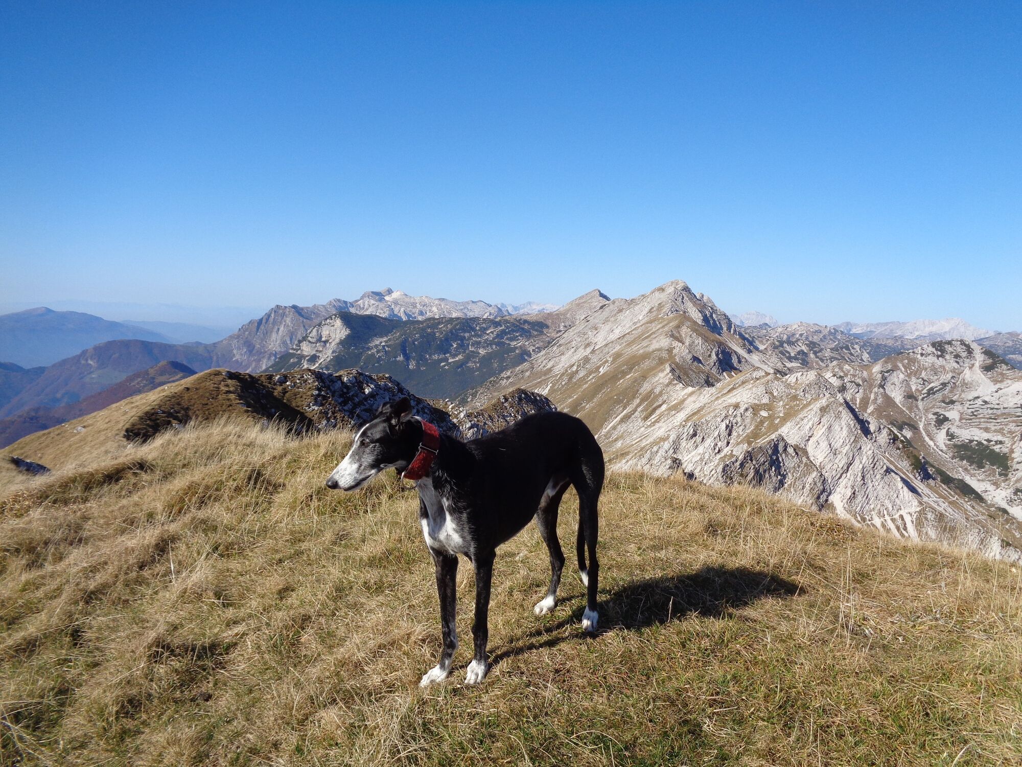
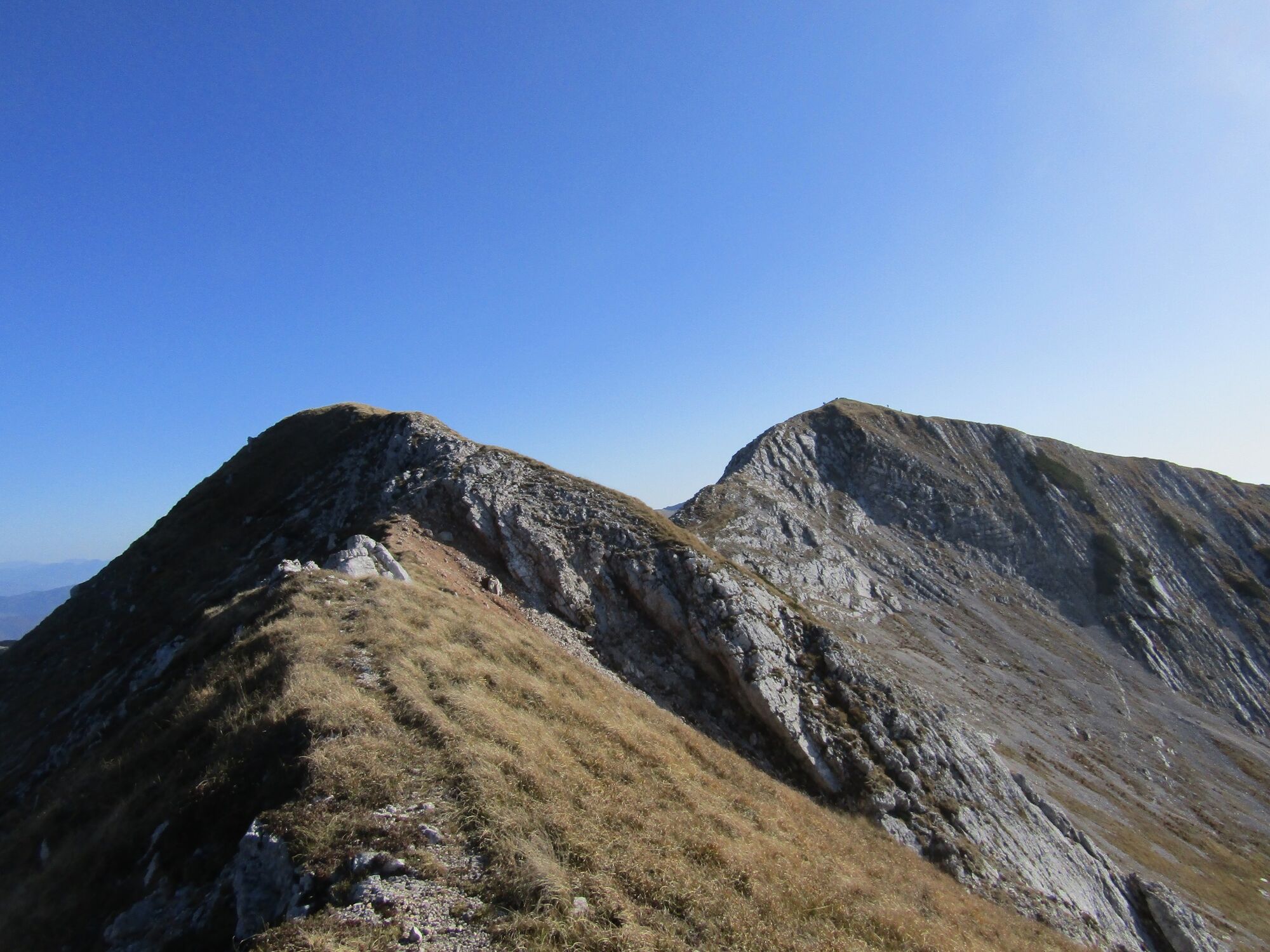
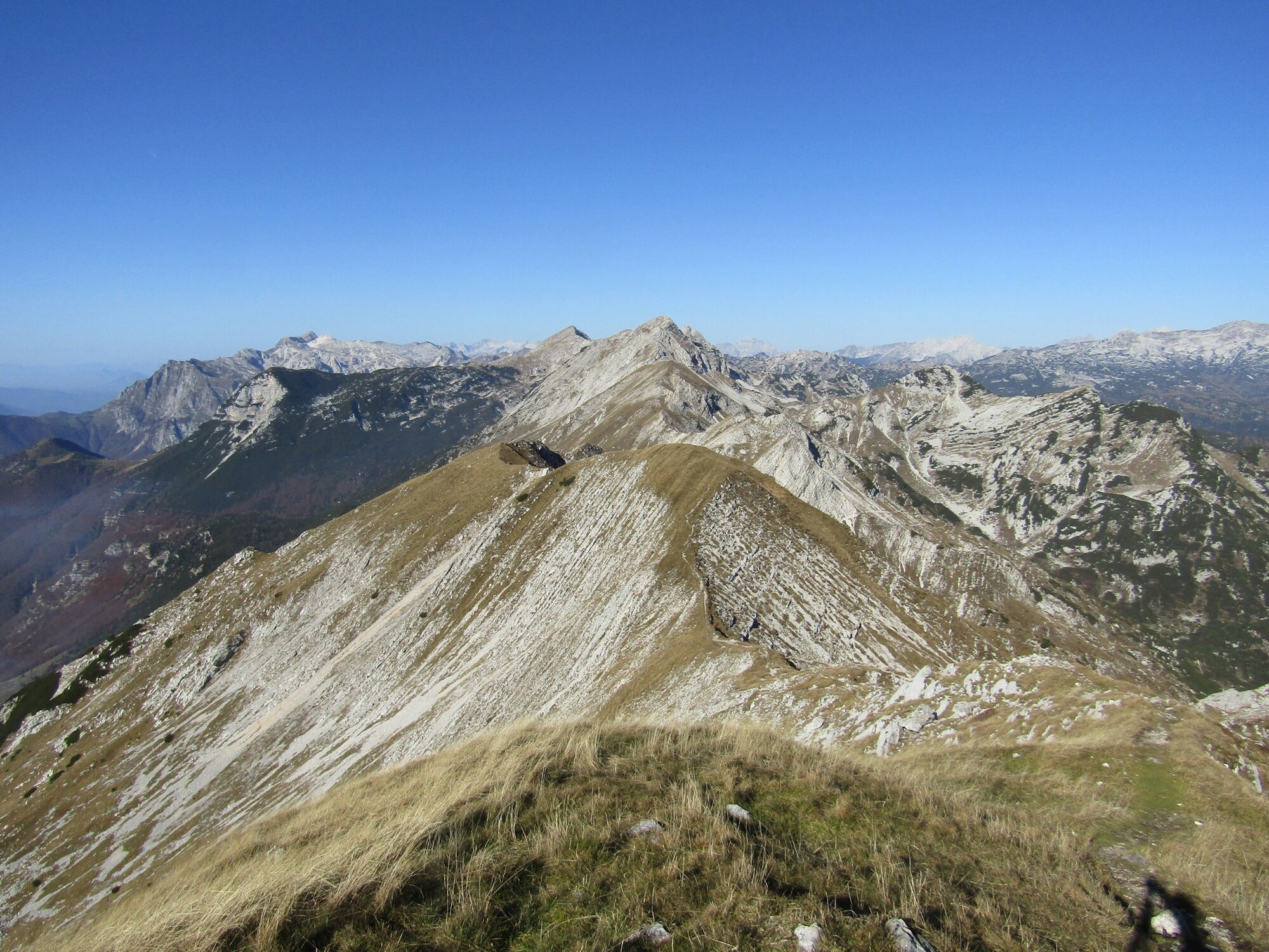
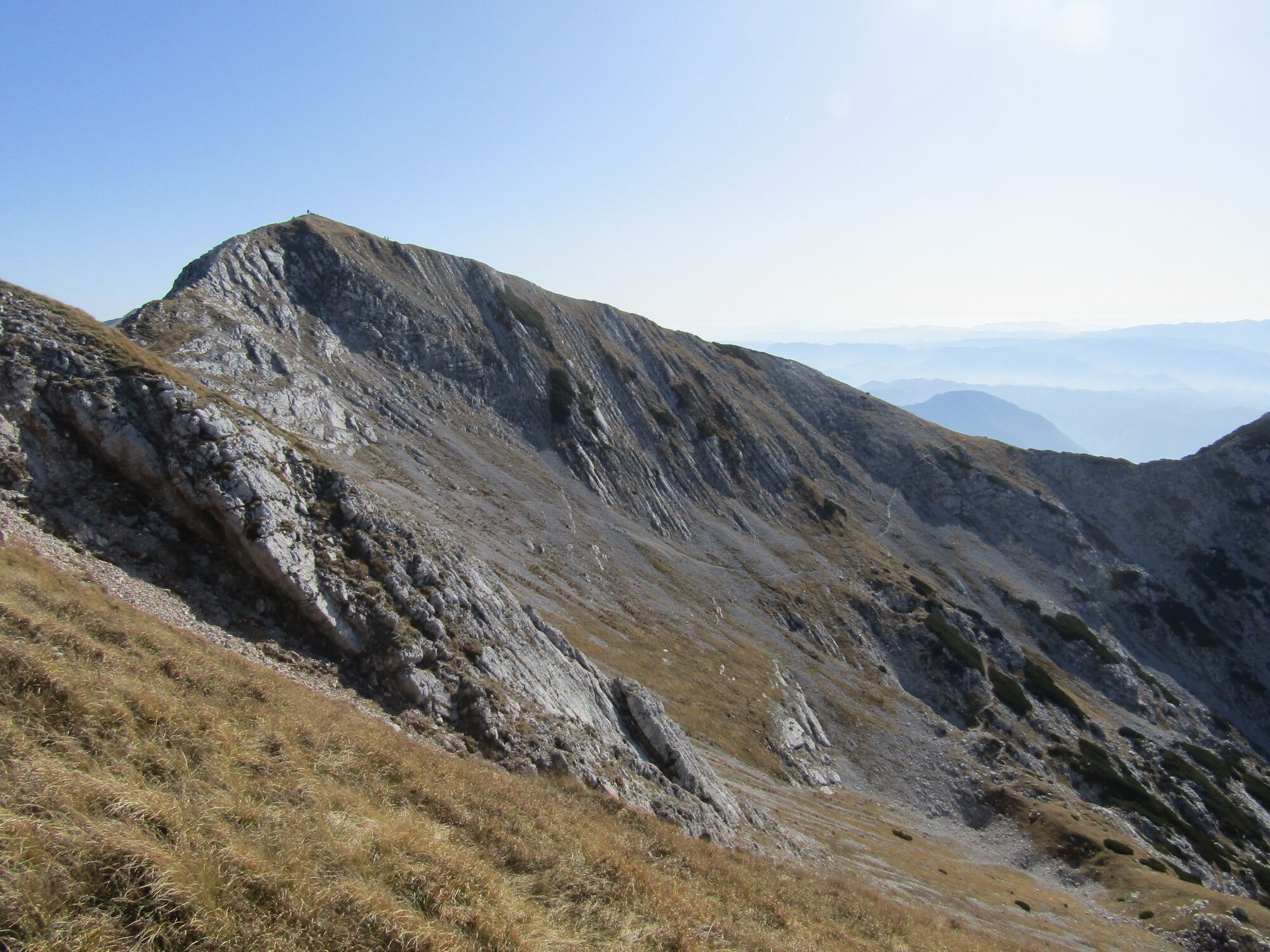
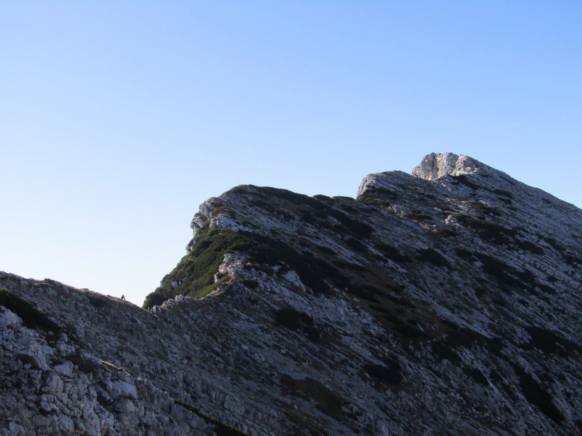
Mt. Vrh Krnic (1,890 m) – a part of the wonderful Bohinj-Tolmin Ridge


© Turizem Dolina Soce - Ksenija Vogrinc

© Turizem Dolina Soce - Ksenija Vogrinc

© Turizem Dolina Soce - Ksenija Vogrinc

© Turizem Dolina Soce - Ksenija Vogrinc

© Turizem Dolina Soce - Ksenija Vogrinc

© Turizem Dolina Soce - Ksenija Vogrinc

© Turizem Dolina Soce - Ksenija Vogrinc

© Turizem Dolina Soce - Ksenija Vogrinc

© Turizem Dolina Soce - Ksenija Vogrinc

© Turizem Dolina Soce - Ksenija Vogrinc

- Lyhyt kuvaus
-
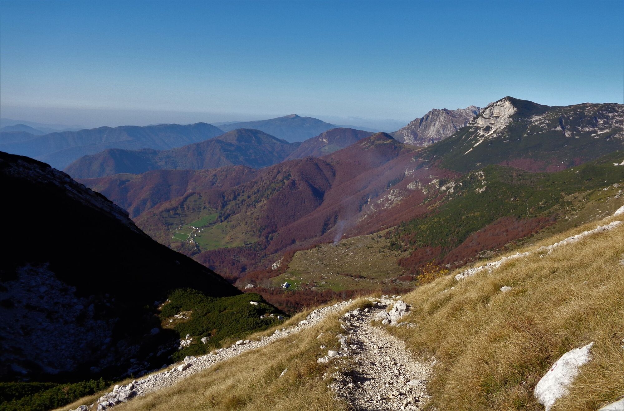
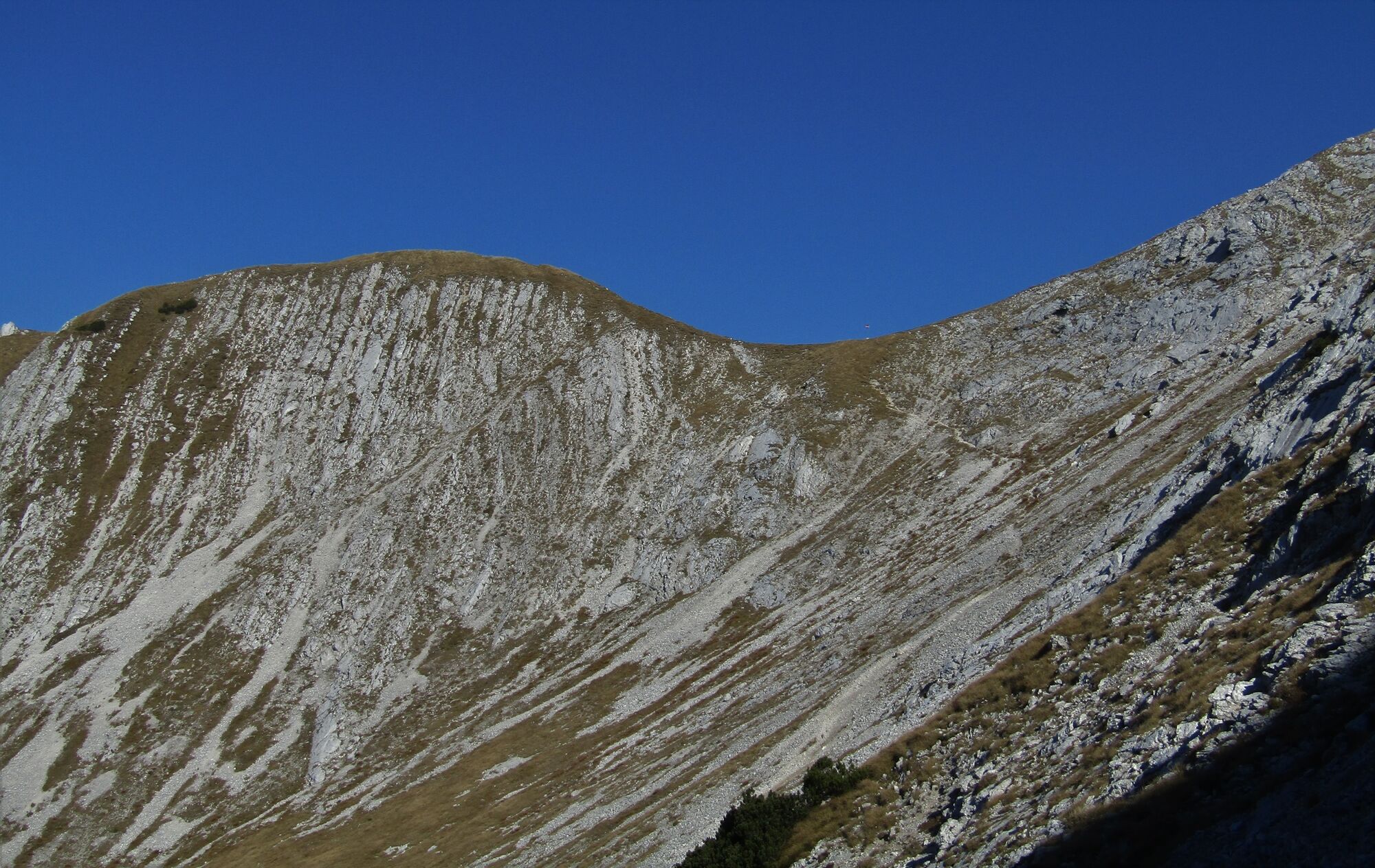
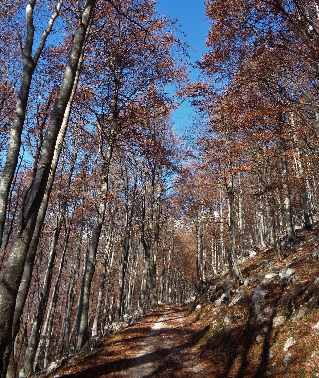
Circular tour along a part of the Bohinj-Tolmin Ridge with splendid views of the Primorska Region and the Bohinj Region. In nice weather it is possible to see the Adriatic Sea to the south and the highest Slovenian mountain Mt. Triglav to the north.
- Vaikeus
-
tapa
- Arviointi
-
- Reitti
-
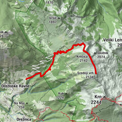
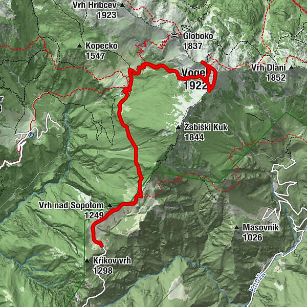
Planina Kuk0,3 kmKoča na planini Razor3,8 kmVrh Krnic (1.896 m)6,5 kmVogel (1.922 m)6,8 kmKoča na planini Razor9,7 kmPlanina Kuk13,2 km
- Paras kausi
-
tammihelmimaalishuhtitoukokesäheinäelosyyslokamarrasjoulu
- Korkein kohta
- 1.885 m
- Kohde
-
Mt. Vrh Krnic (1,890 m)
- Korkeusprofiili
-
 © outdooractive.com


-

-
KirjoittajaKiertue Mt. Vrh Krnic (1,890 m) – a part of the wonderful Bohinj-Tolmin Ridge käyttää outdooractive.com toimitettu.
GPS Downloads


Yleistä tietoa
Sisäpiirin vinkki
Flora
Lupaava