

© Turizem Dolina Soce - Darjo Berra

© Turizem Dolina Soce - Darjo Berra

© Turizem Dolina Soce - Darjo Berra

© Turizem Dolina Soce - Darjo Berra

© Turizem Dolina Soce - Darjo Berra

© Turizem Dolina Soce - Darjo Berra

© Turizem Dolina Soce - Darjo Berra

© Turizem Dolina Soce - Darjo Berra

© Turizem Dolina Soce - Darjo Berra

© Turizem Dolina Soce - Darjo Berra

- Lyhyt kuvaus
-
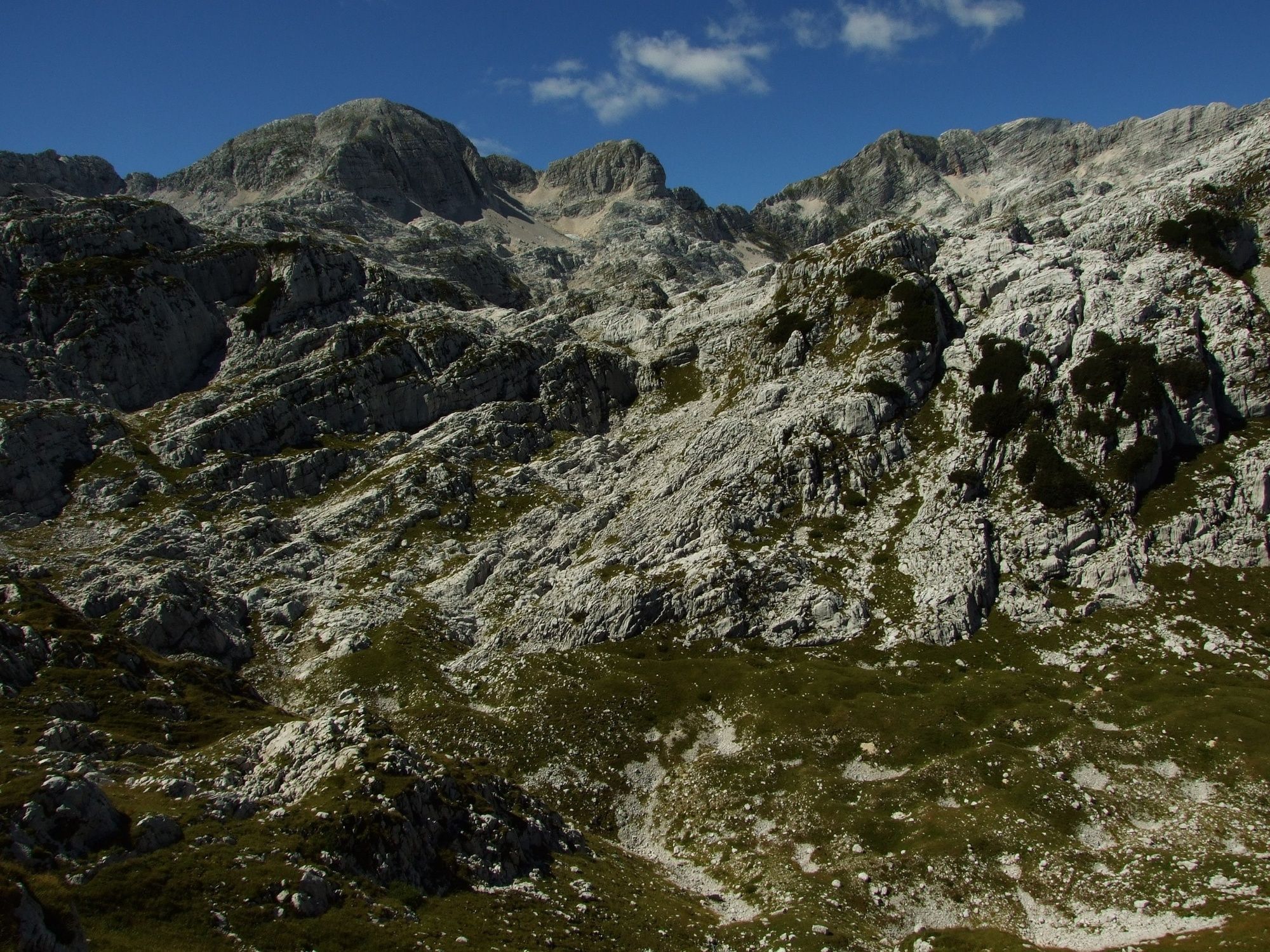
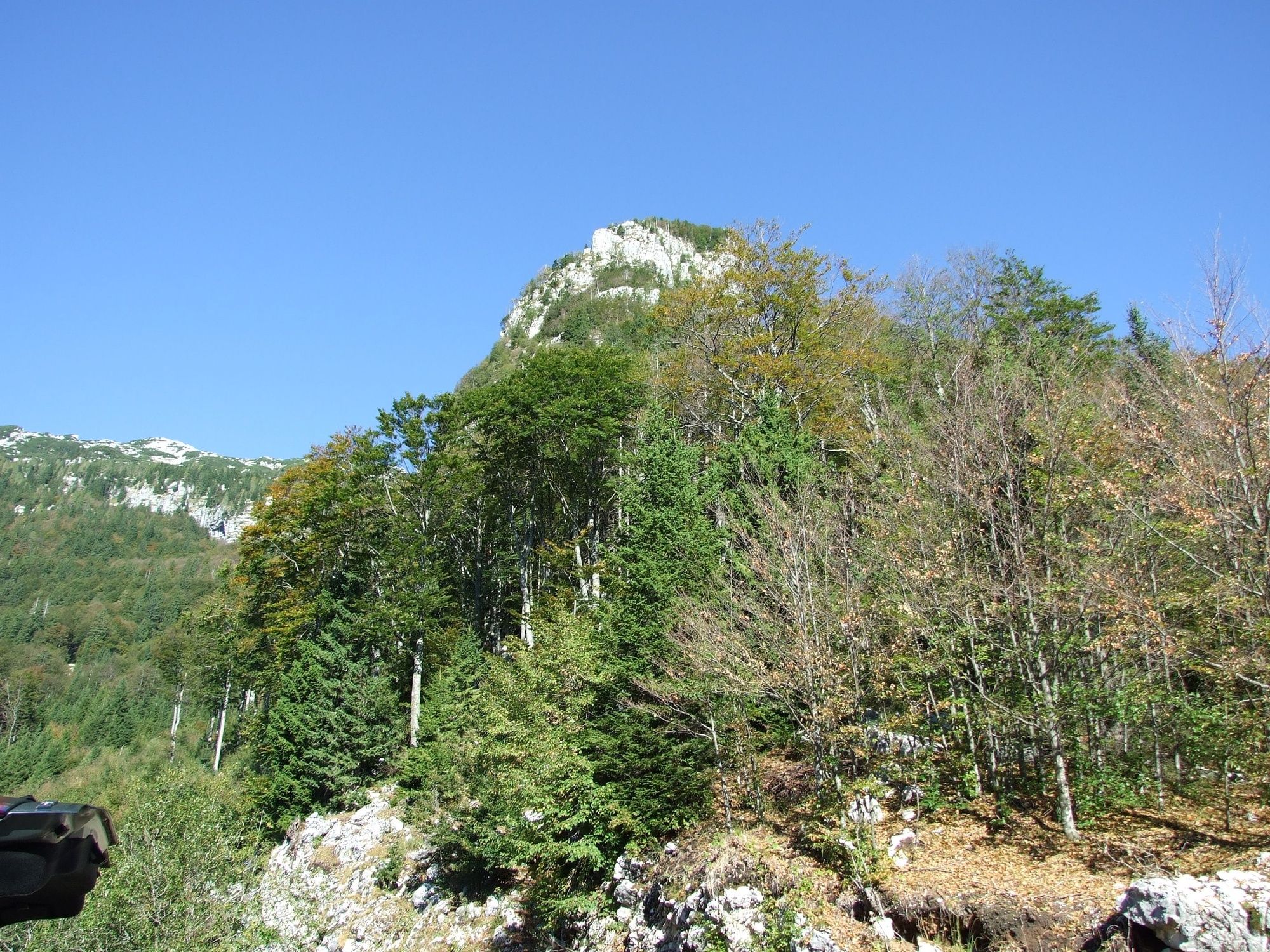
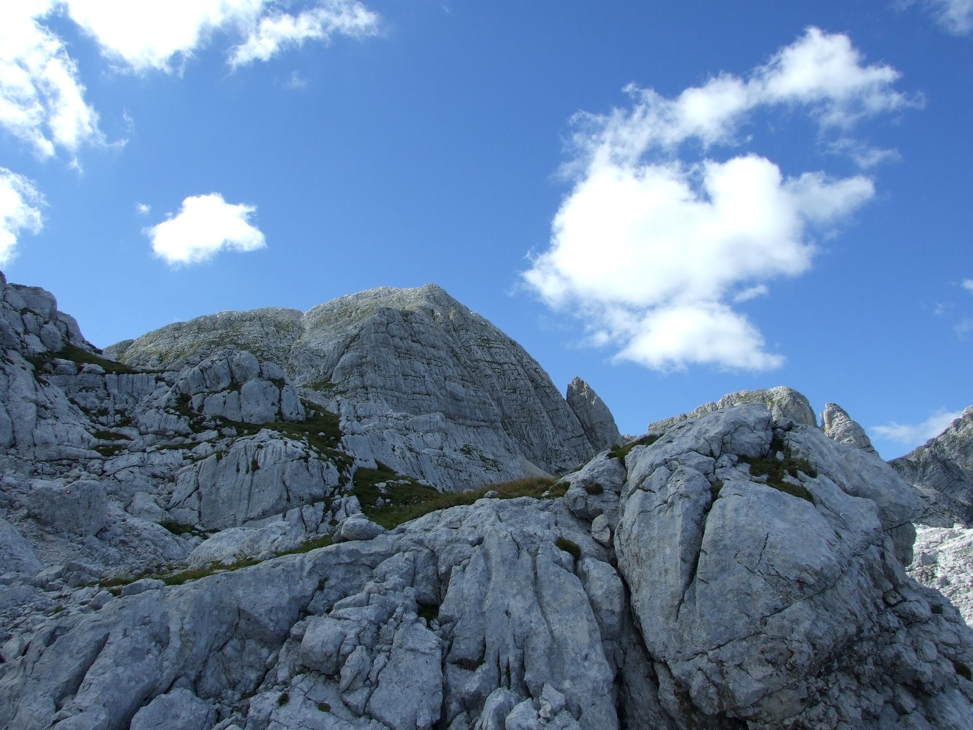
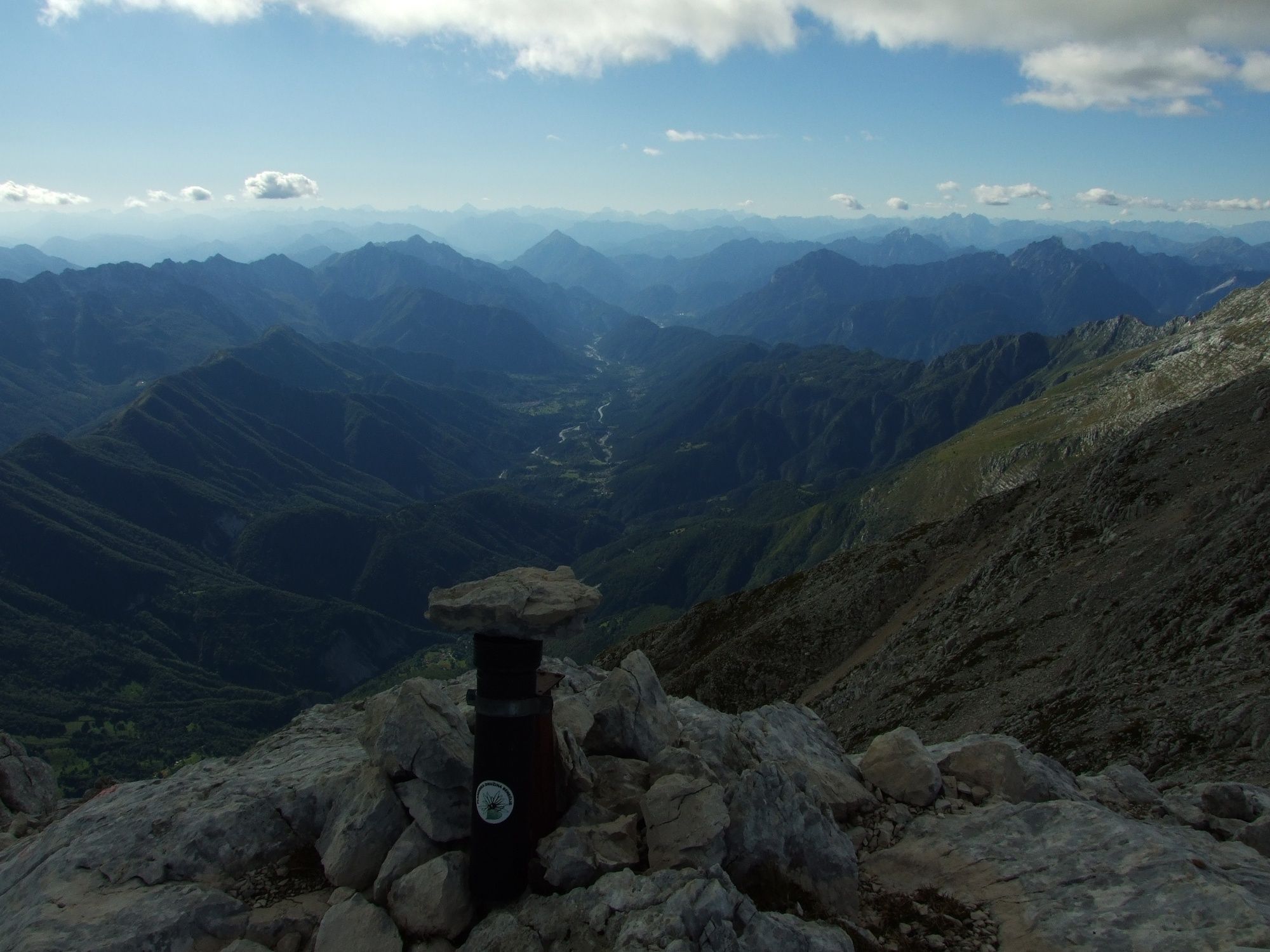
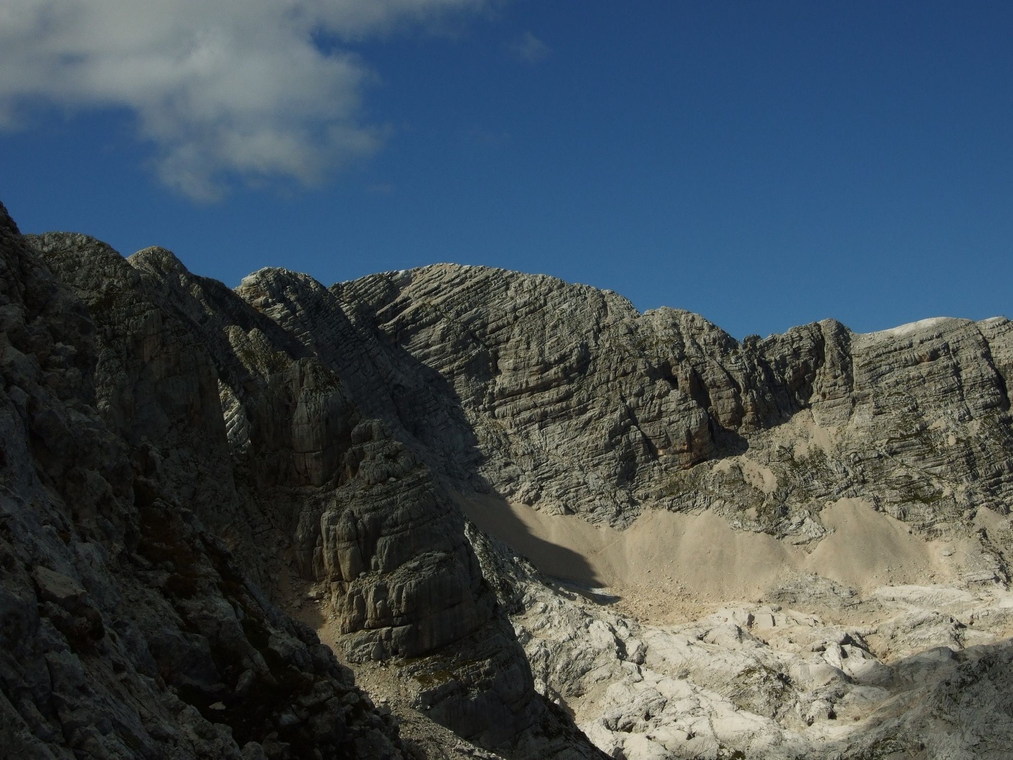
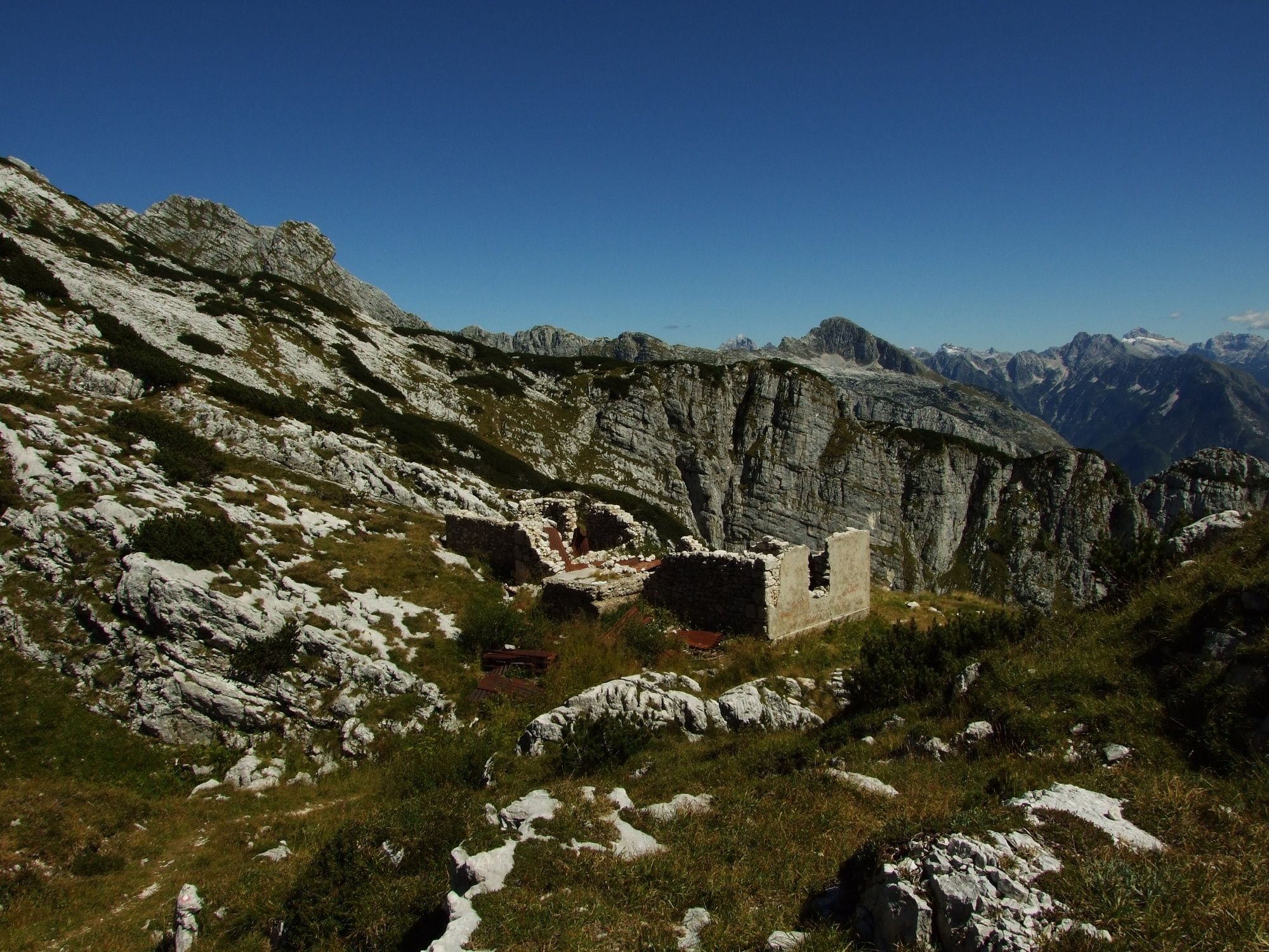
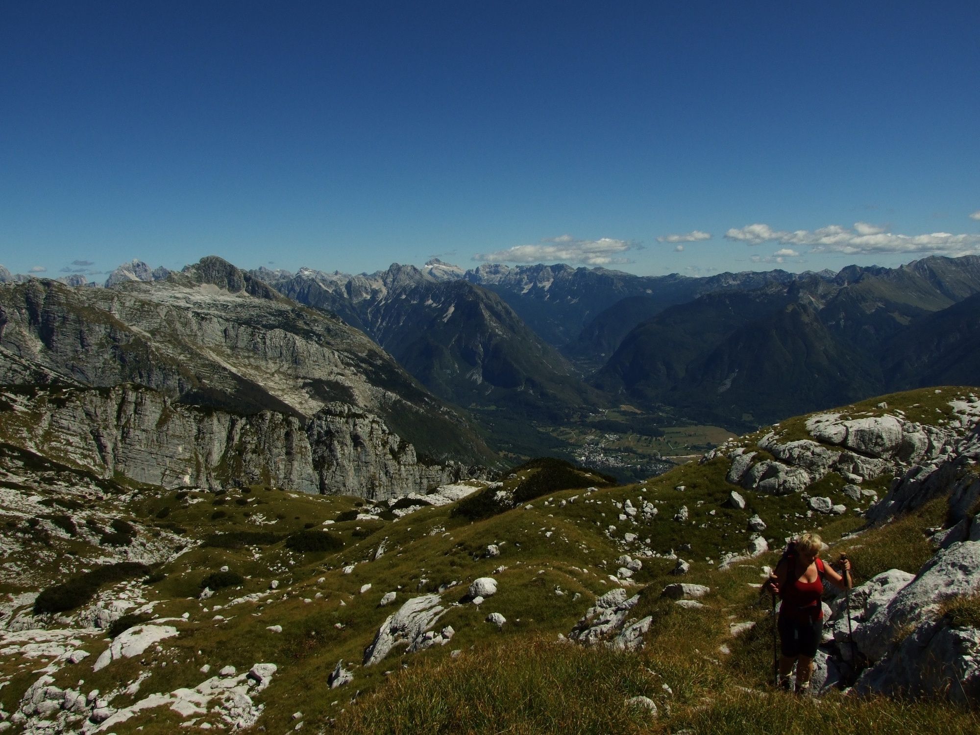
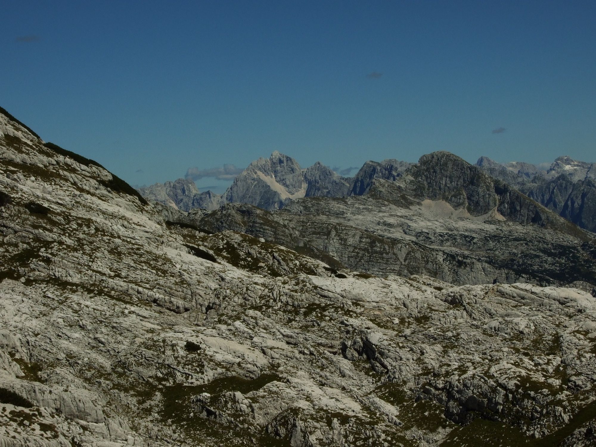
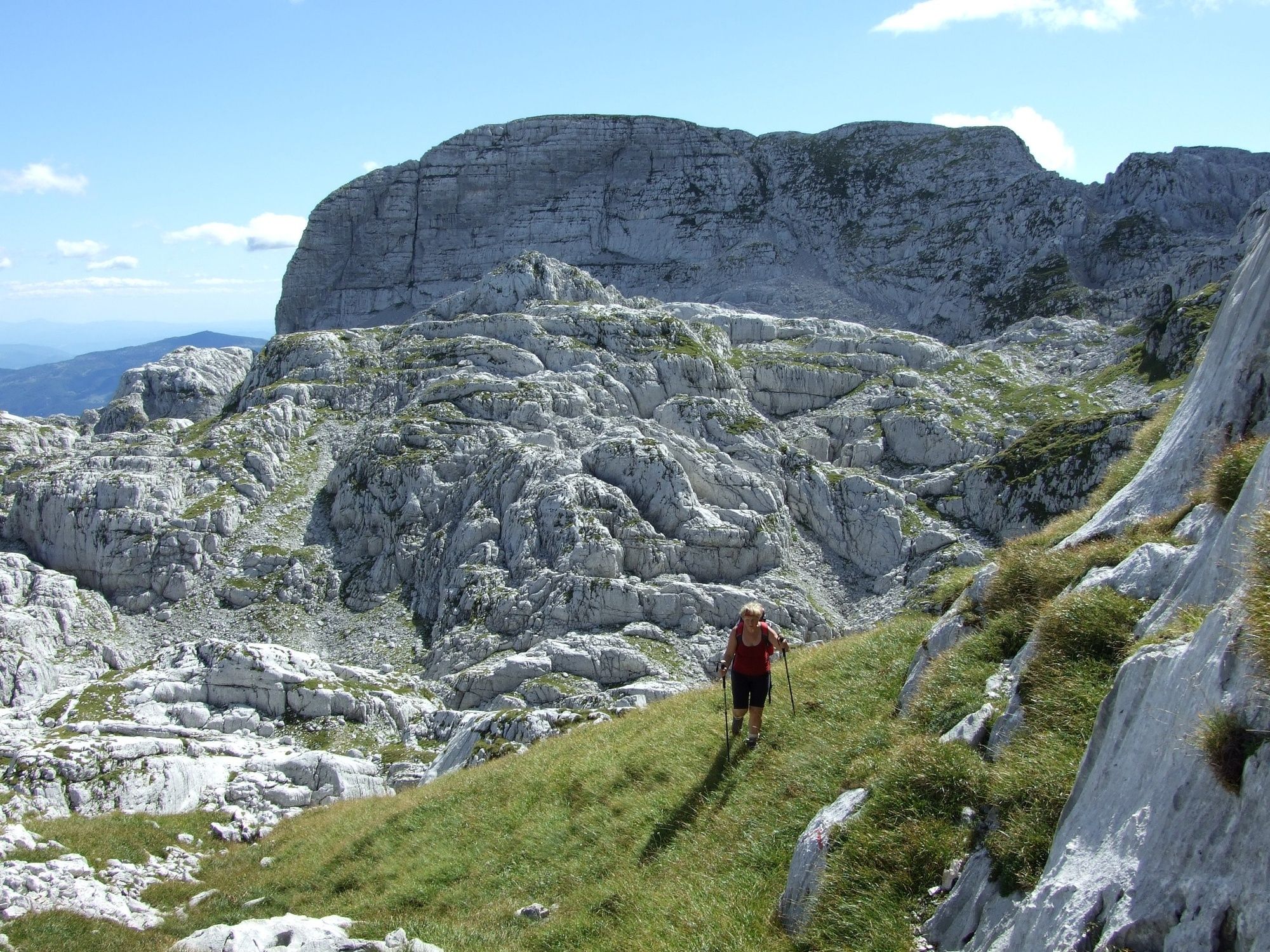
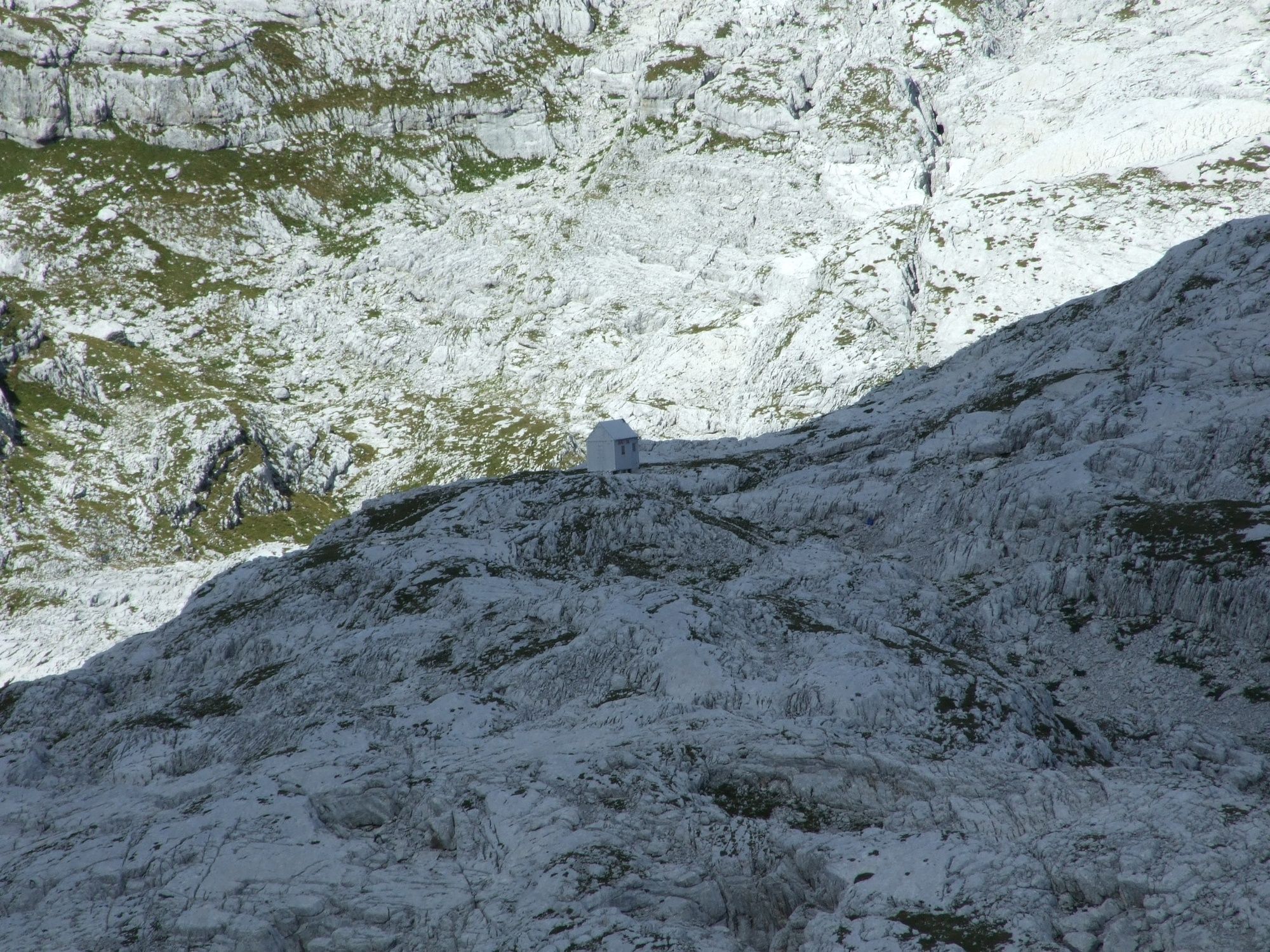
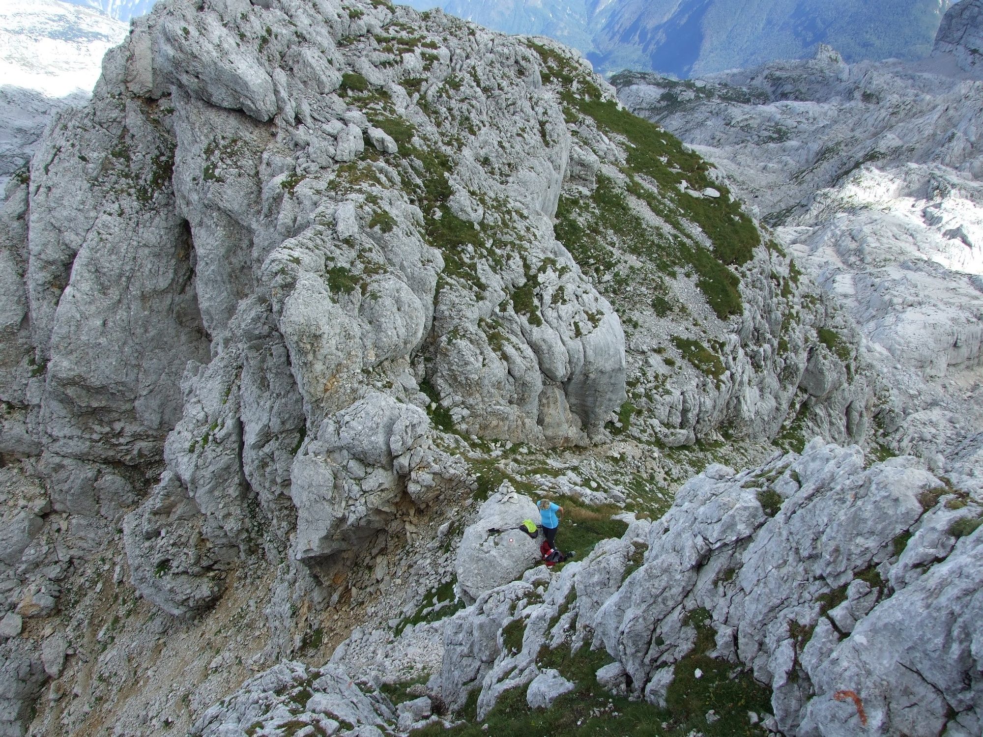
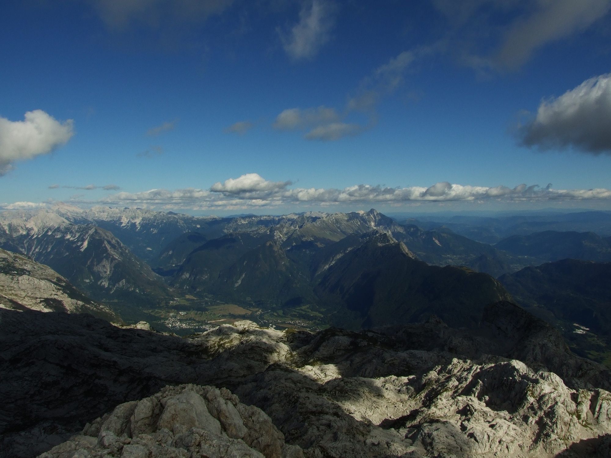
This trail leads from the pleasant shade of the Gozdec forest to the Karst world of the Kaninski podi Plateau and the high-altitude Western Julian Alps.
- Vaikeus
-
tapa
- Arviointi
-
- Reitti
-
Vodni vir1,2 kmLasca Plagna (2.448 m)5,9 kmVodni vir10,6 km
- Paras kausi
-
tammihelmimaalishuhtitoukokesäheinäelosyyslokamarrasjoulu
- Korkein kohta
- 2.404 m
- Kohde
-
Mt. Vrh Laške Planje (2448 m)
- Korkeusprofiili
-
 © outdooractive.com

-

-
KirjoittajaKiertue Mt. Vrh Laške Planje (2448 m) käyttää outdooractive.com toimitettu.
GPS Downloads


Yleistä tietoa
Kulttuuri/Historiallinen
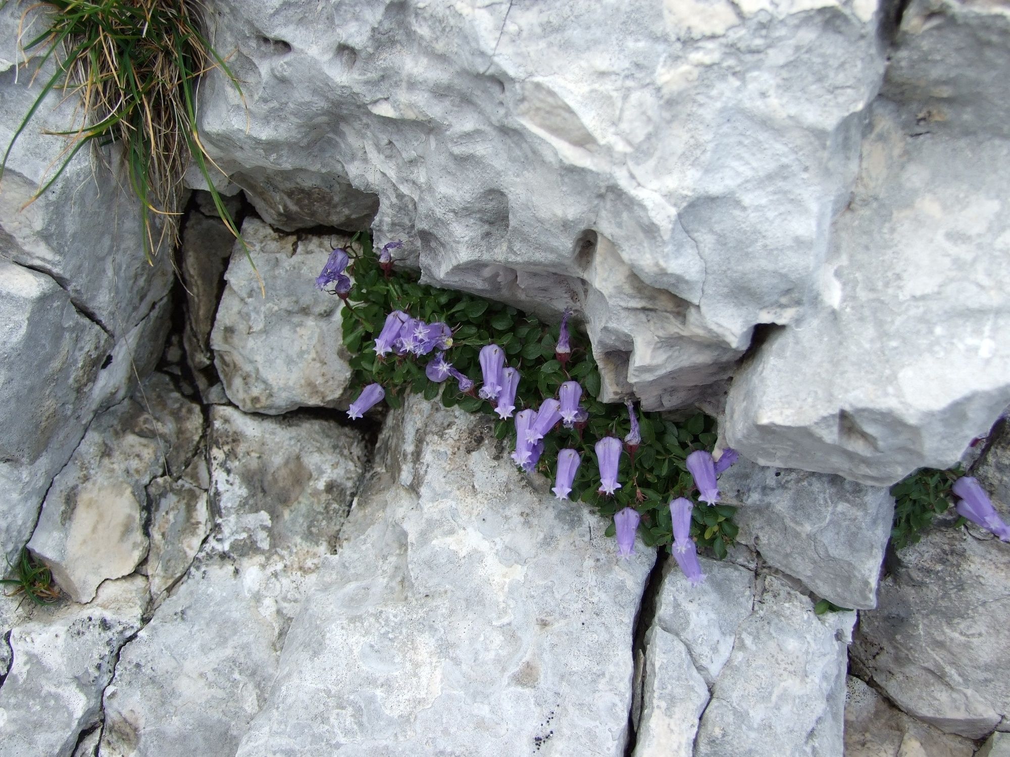
Flora
Fauna
Lupaava
Lisää retkiä alueilla


