

© Turizem Dolina Soce - Darjo Berra
© Turizem Dolina Soce - Darjo Berra
© Turizem Dolina Soce - Darjo Berra
© Turizem Dolina Soce - Darjo Berra
© Turizem Dolina Soce - Darjo Berra
© Turizem Dolina Soce - Darjo Berra
© Turizem Dolina Soce - Darjo Berra

- Lyhyt kuvaus
-
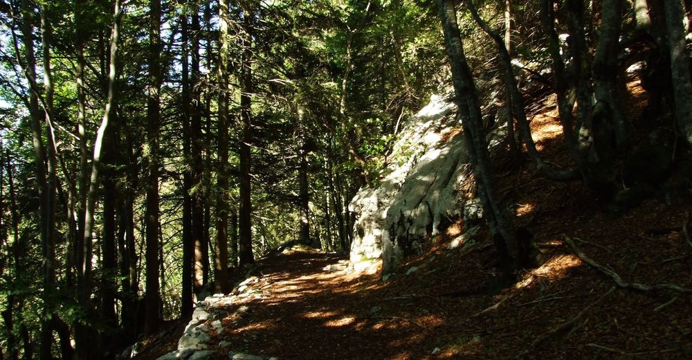
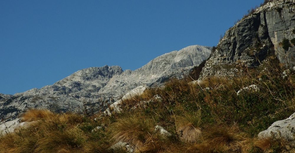
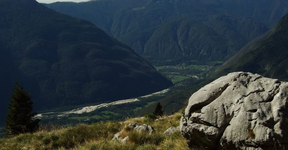
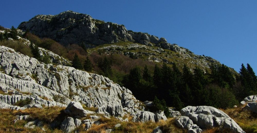
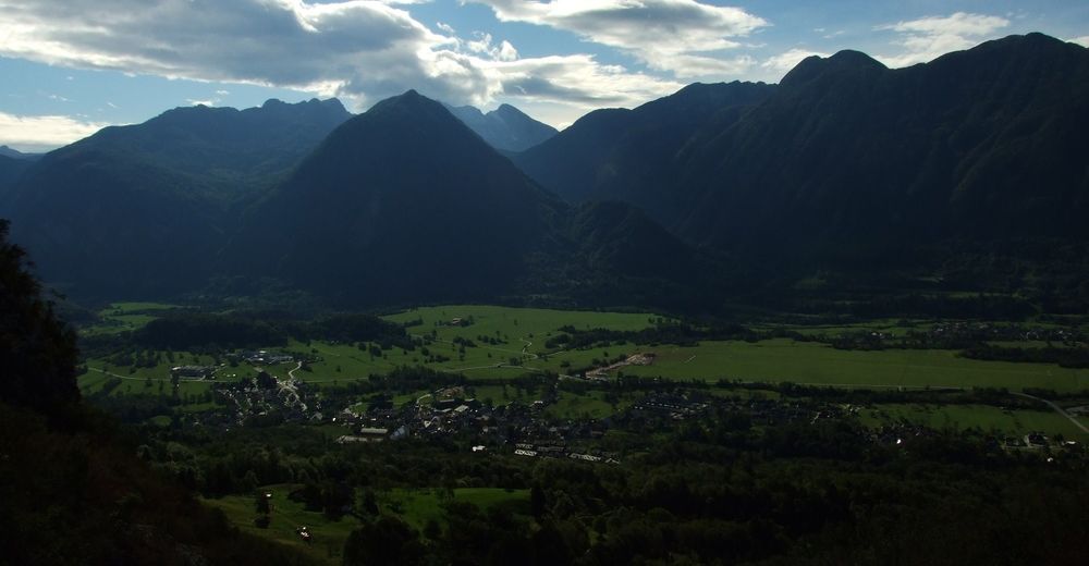
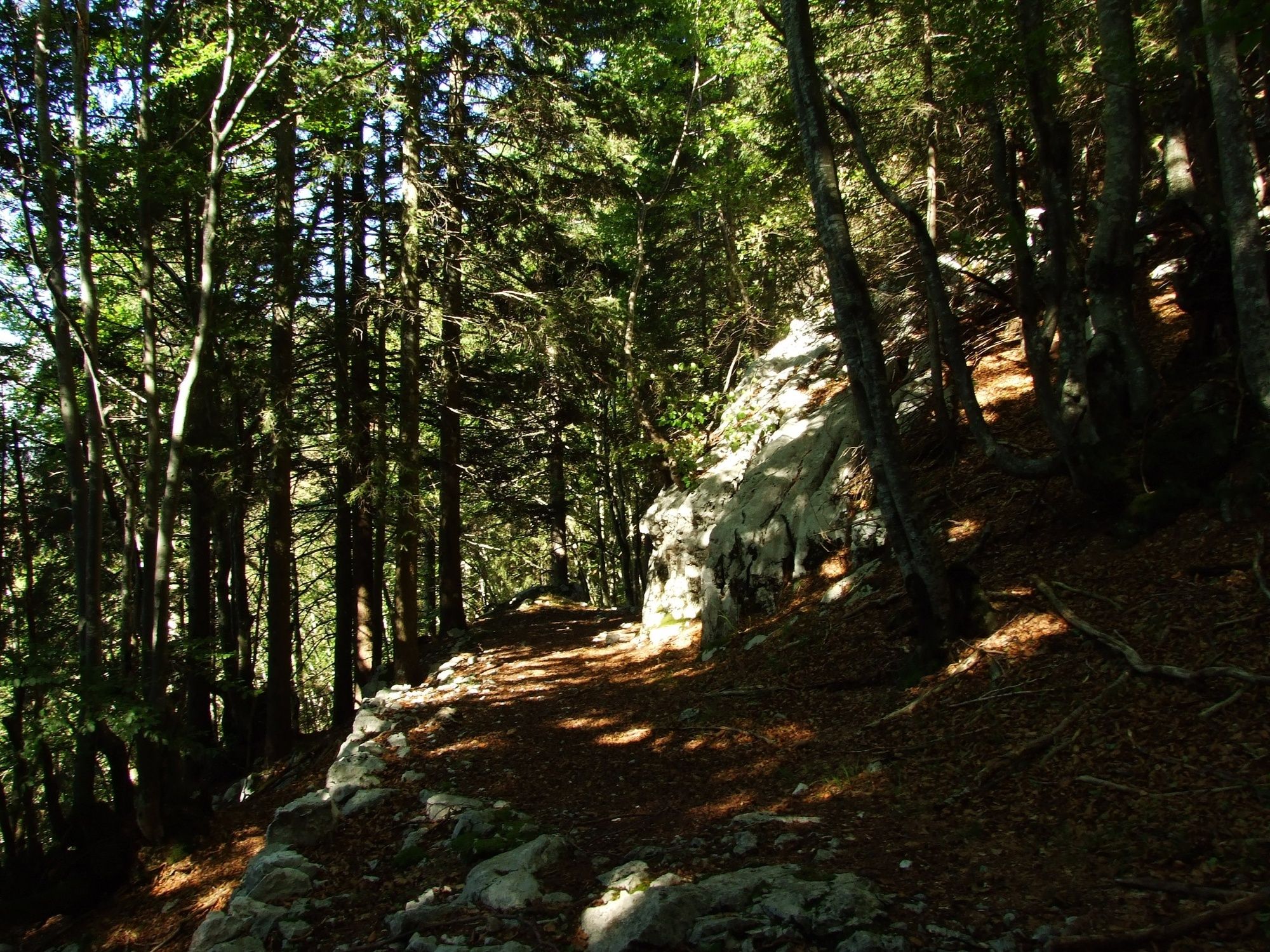
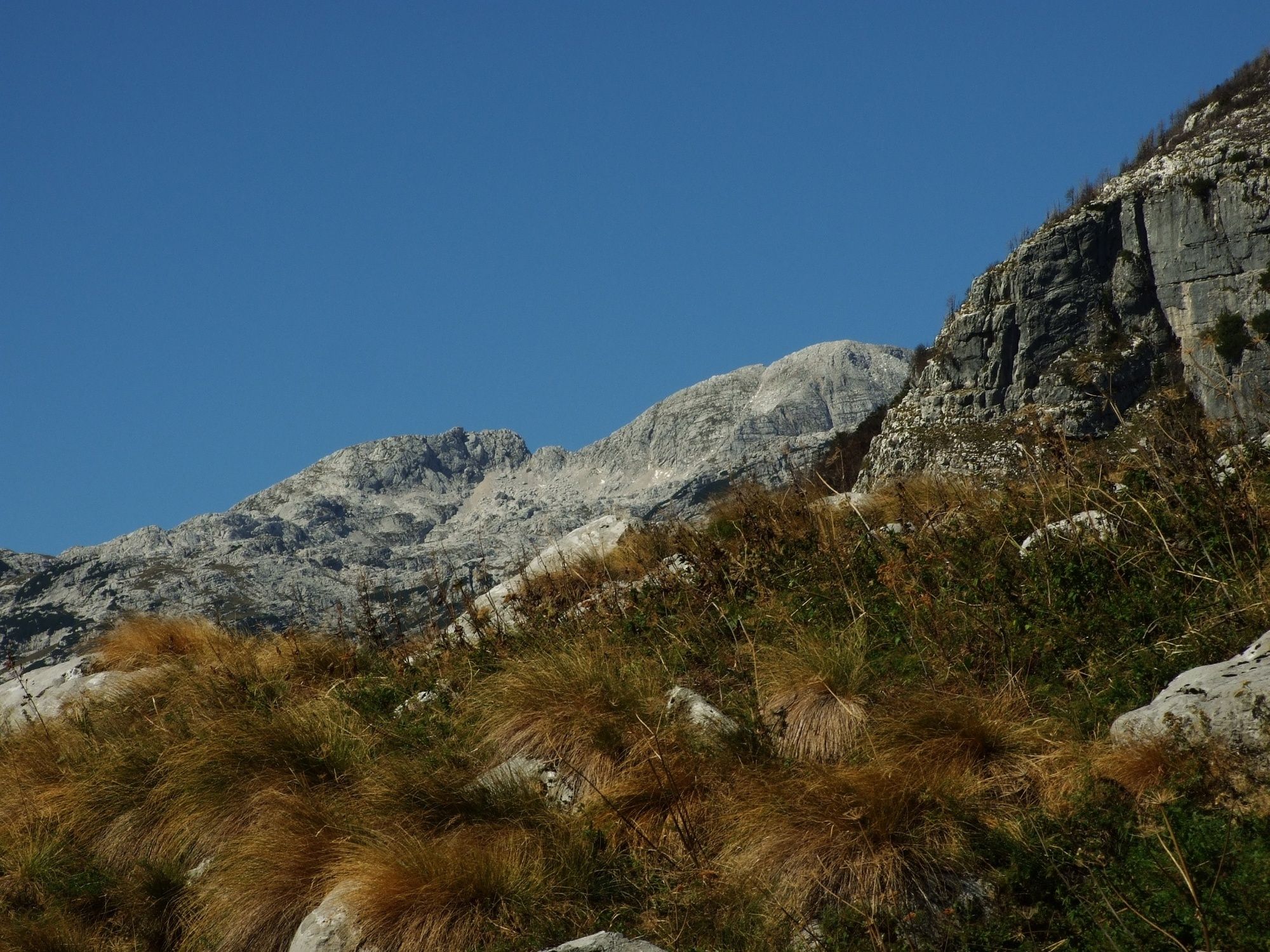
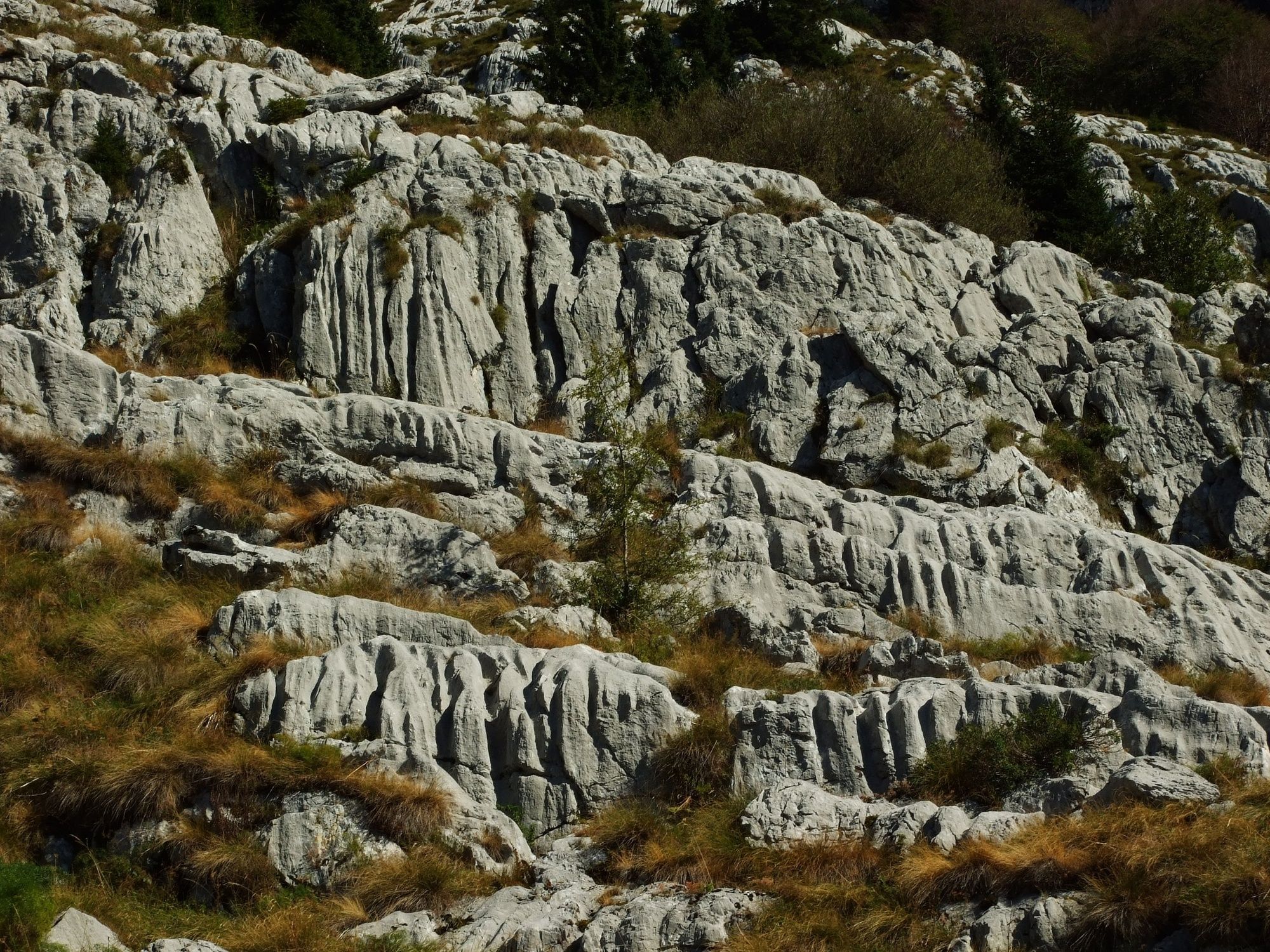
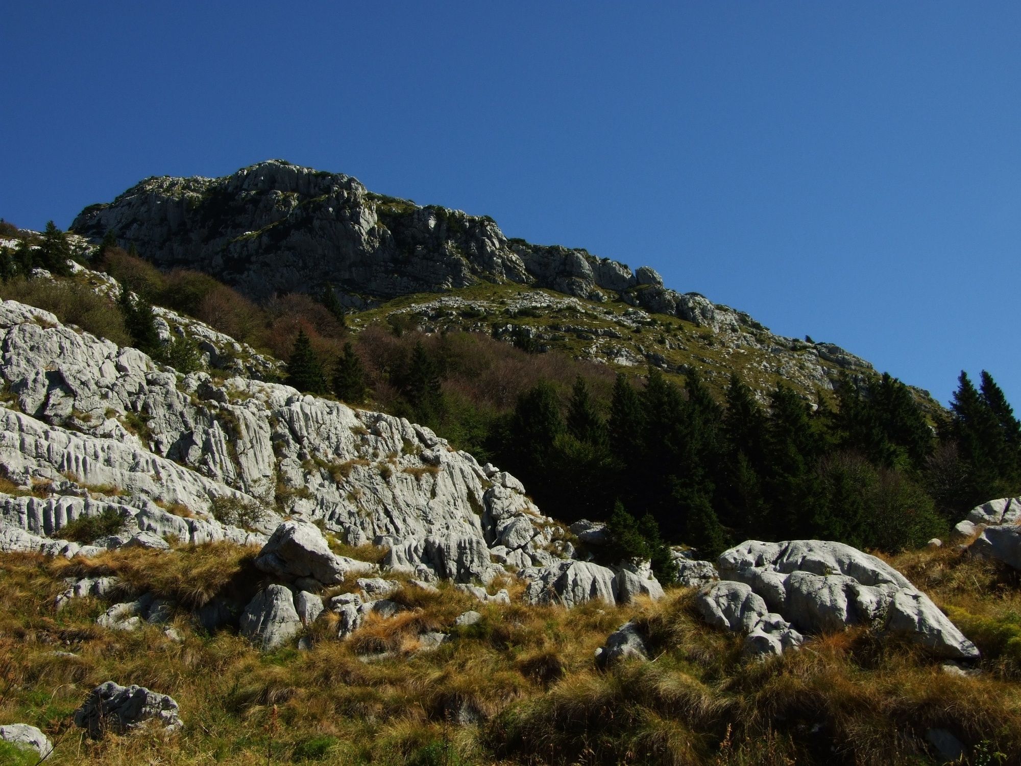
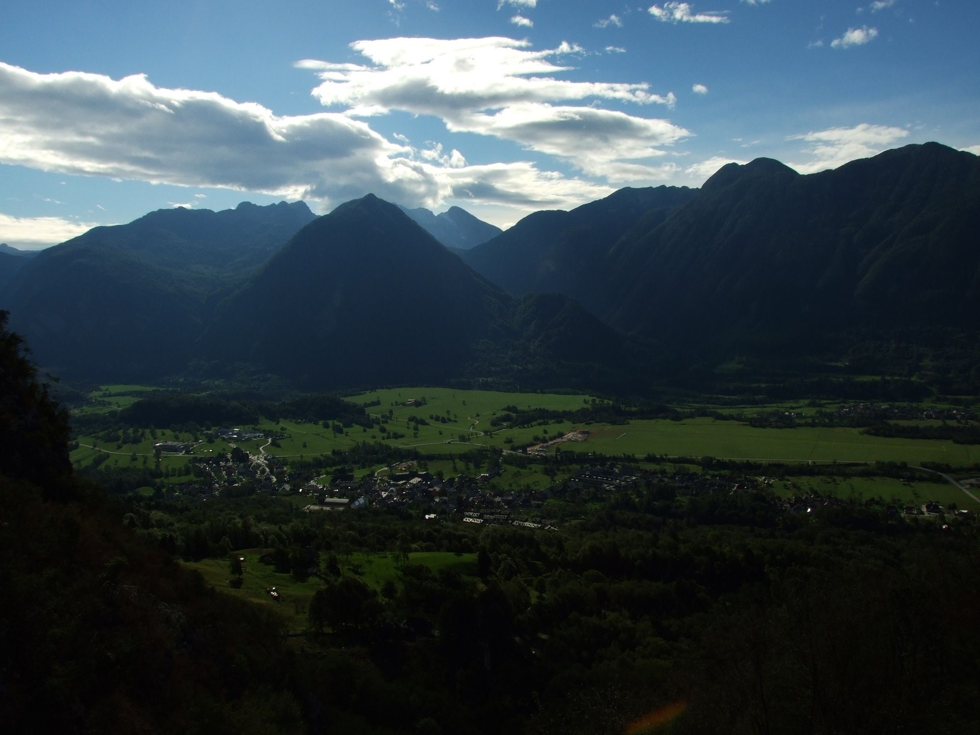
This popular hiking trail to the abandoned Goričica Mountain pasture above the town of Bovec will always impress you with the views and peaceful forests.
- Vaikeus
-
tapa
- Arviointi
-
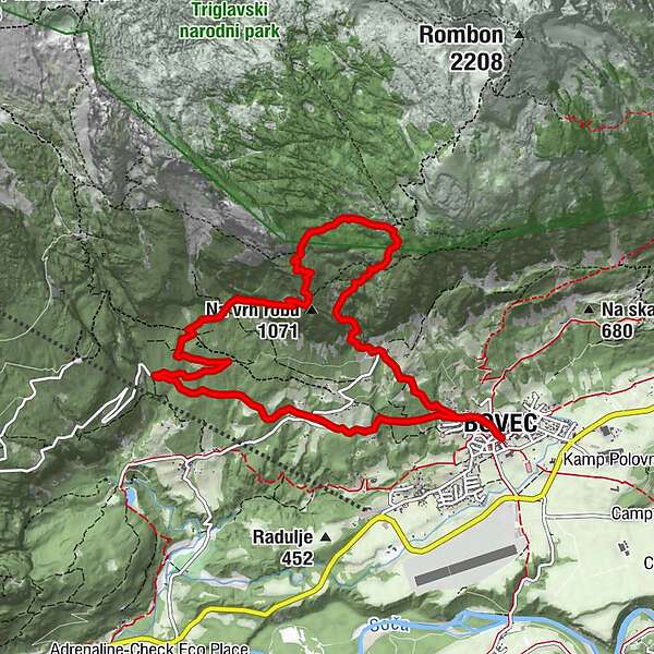
- Reitti
-
Flitsch0,0 kmCerkev svetega Urha0,1 kmKaninska Vas0,5 kmPlanina Goričica3,2 kmKaninska Vas10,4 kmCerkev svetega Urha10,7 kmFlitsch10,8 km
- Paras kausi
-
tammihelmimaalishuhtitoukokesäheinäelosyyslokamarrasjoulu
- Korkein kohta
- 1.370 m
- Kohde
-
Goričica Mountain pasture
- Korkeusprofiili
-
 © outdooractive.com


-

-
KirjoittajaKiertue Circular hiking trail to the Goričica Mountain pasture käyttää outdooractive.com toimitettu.
GPS Downloads


Yleistä tietoa
Kulttuuri/Historiallinen
Flora
Fauna
Lupaava
Lisää retkiä alueilla
-
Region Villach - Faaker See - Ossiacher See
2057
-
Soča-Tal
387
-
Bovec
109


