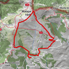
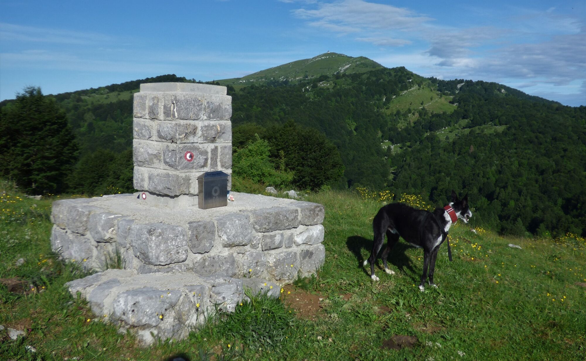
Mt. Matajur (1642 m), a boundary mountain between the Republic of Slovenia and Italy


© Turizem Dolina Soce - Ksenija Vogrinc

© Turizem Dolina Soce - Ksenija Vogrinc

© Turizem Dolina Soce - Ksenija Vogrinc

© Turizem Dolina Soce - Ksenija Vogrinc

© Turizem Dolina Soce - Ksenija Vogrinc

© Turizem Dolina Soce - Ksenija Vogrinc

© Turizem Dolina Soce - Ksenija Vogrinc

© Turizem Dolina Soce - Ksenija Vogrinc

© Turizem Dolina Soce - Ksenija Vogrinc

© Turizem Dolina Soce - Ksenija Vogrinc

- Lyhyt kuvaus
-
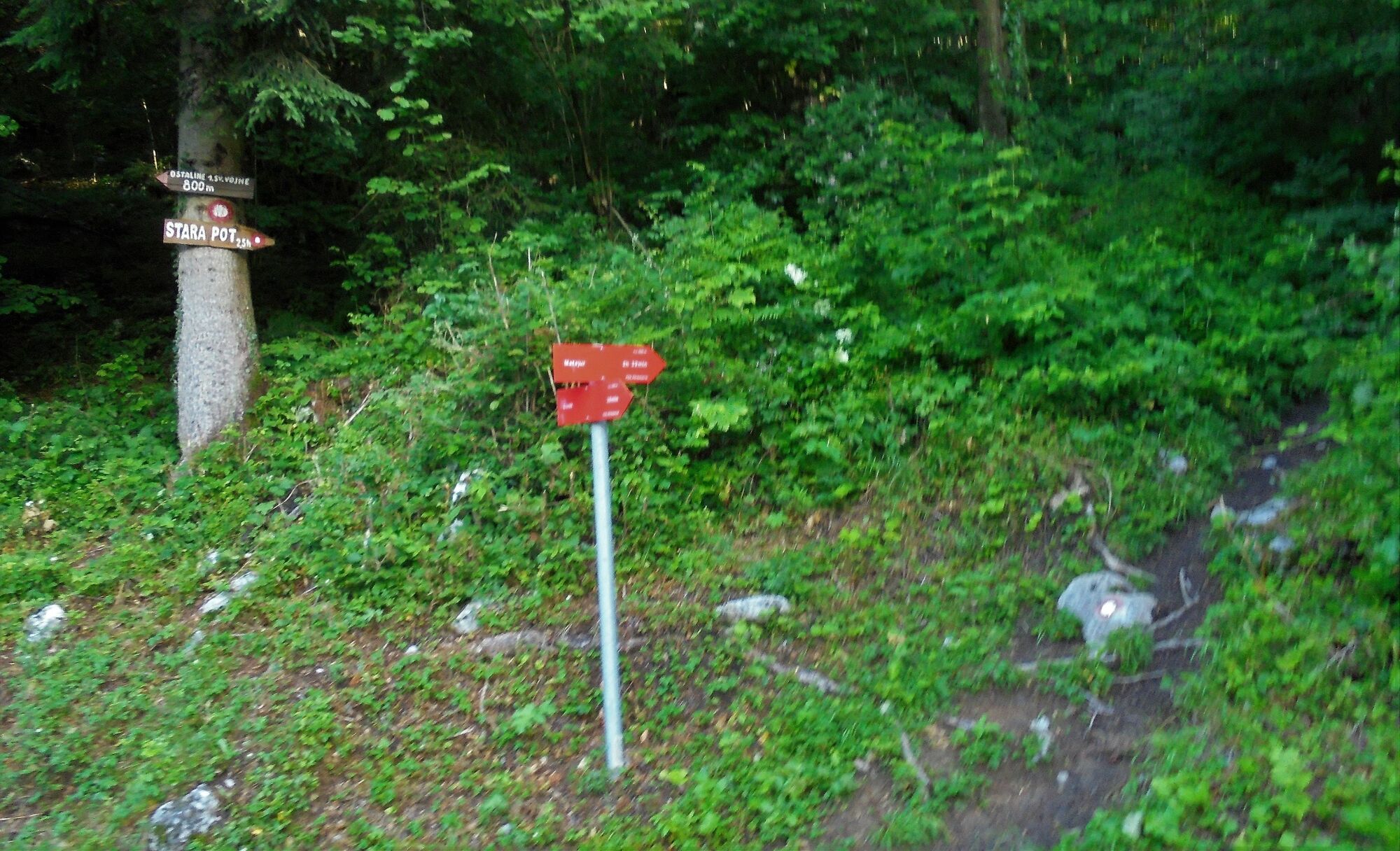
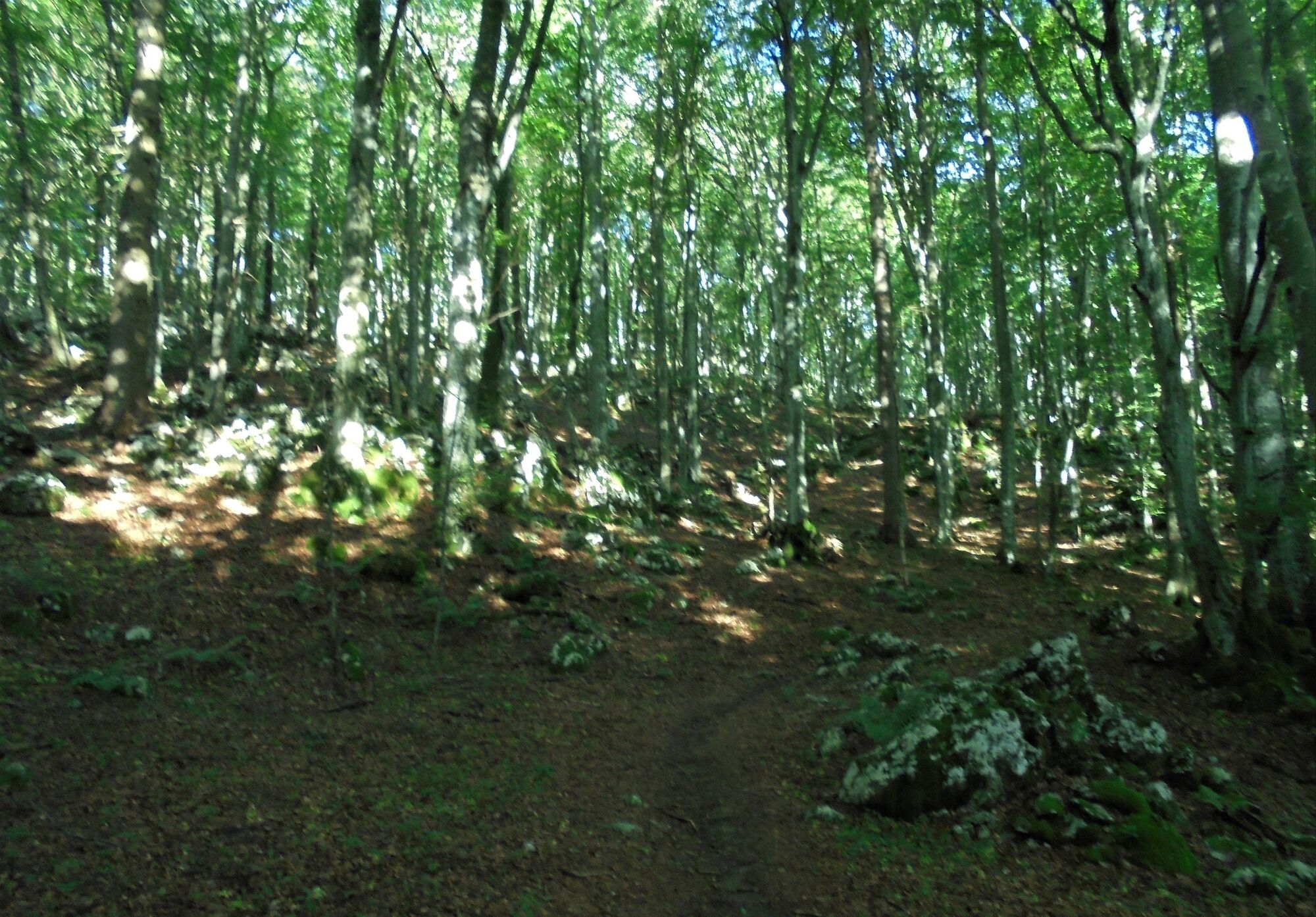
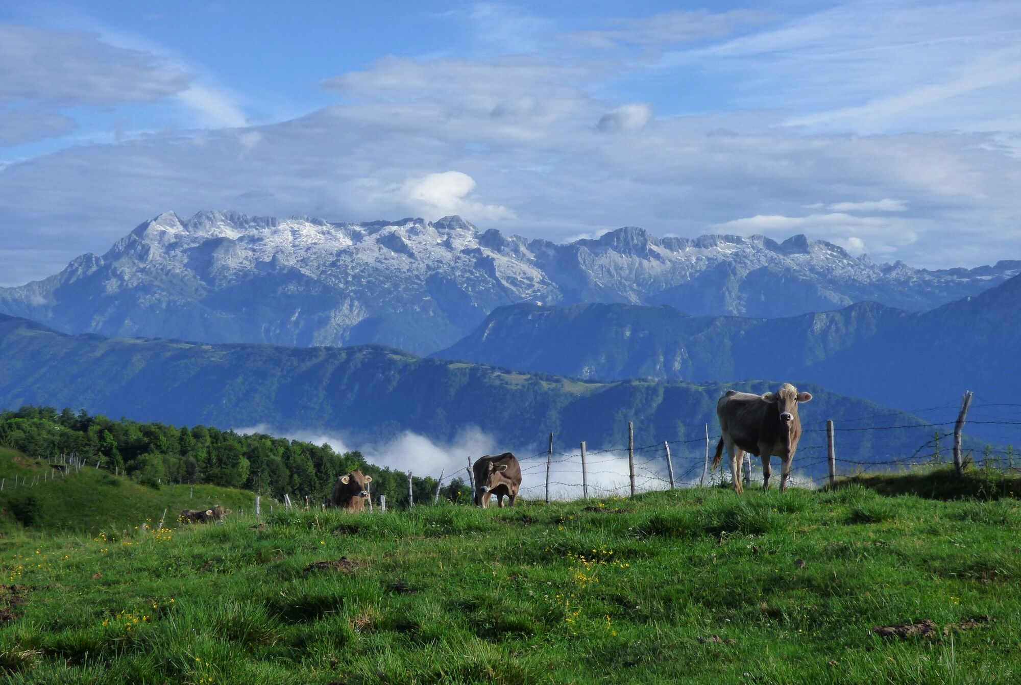
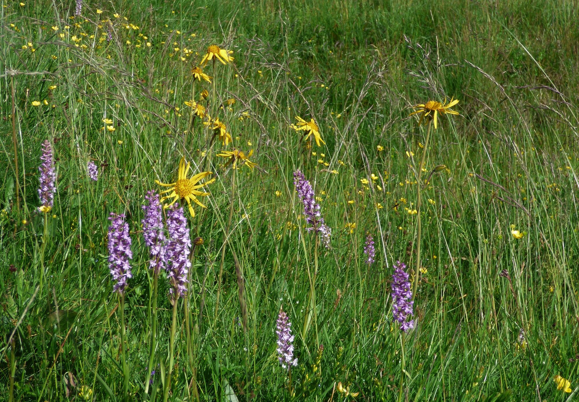
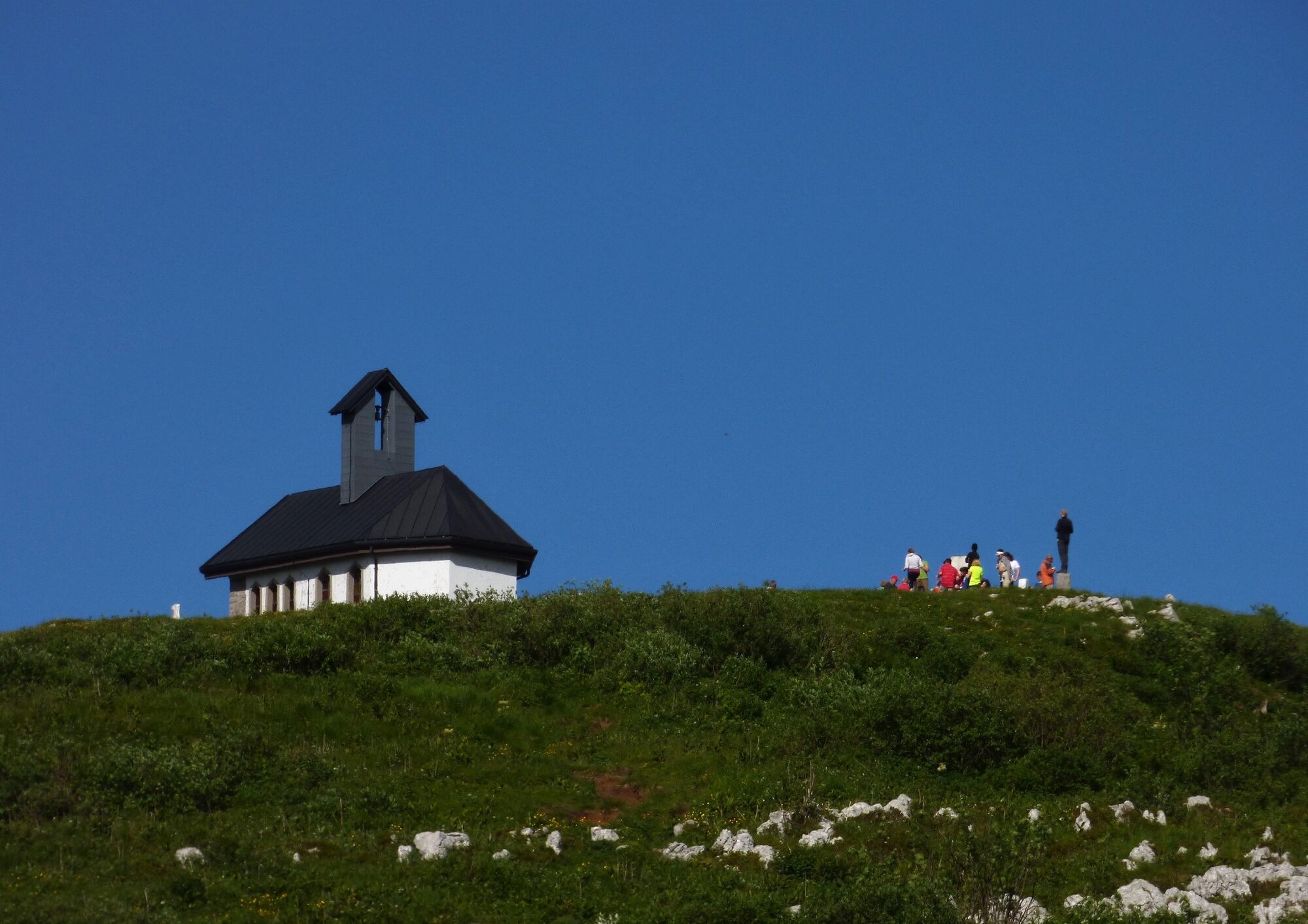
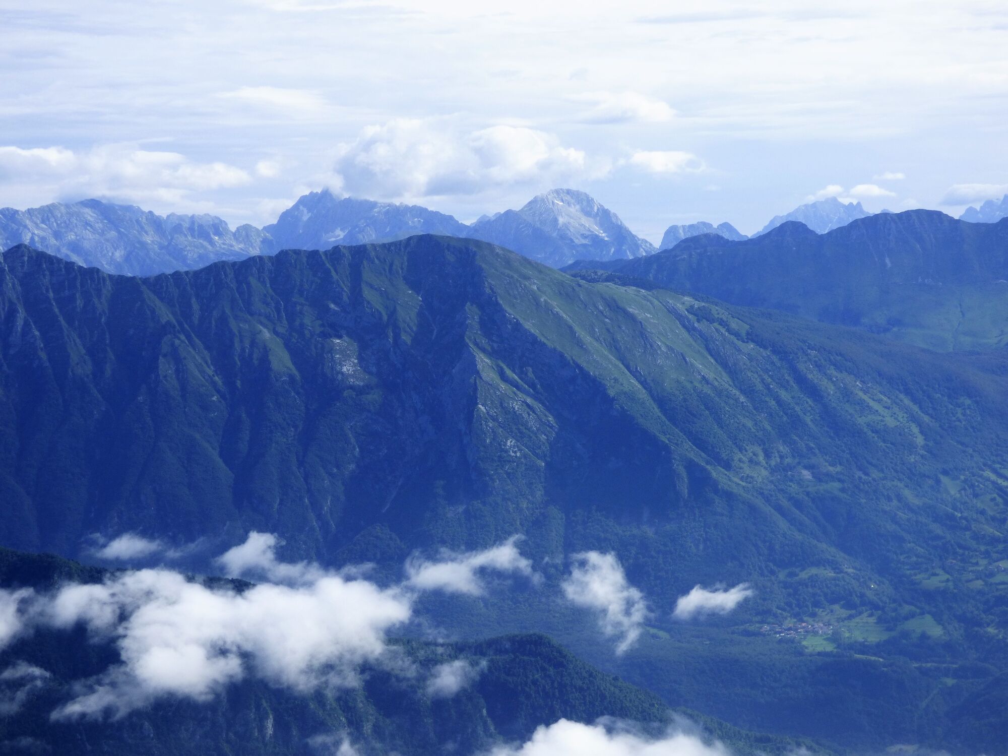
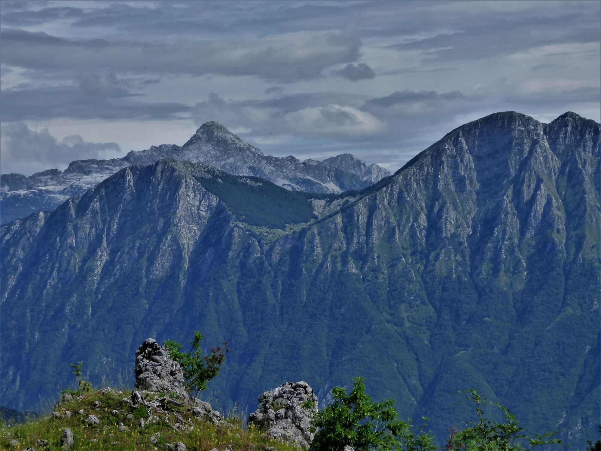
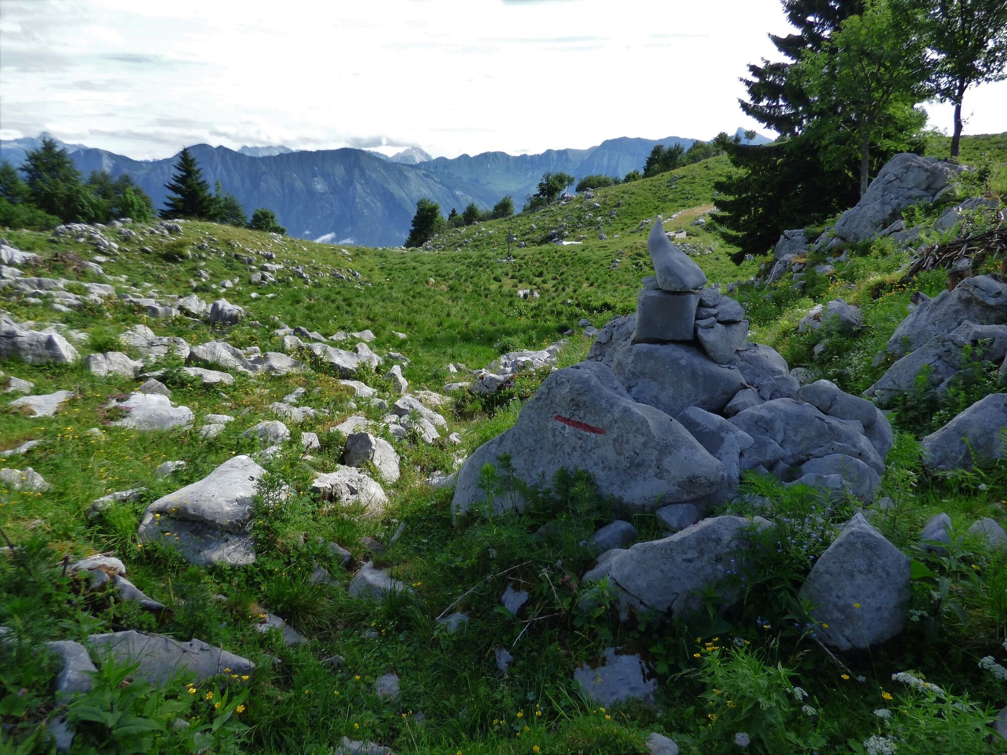
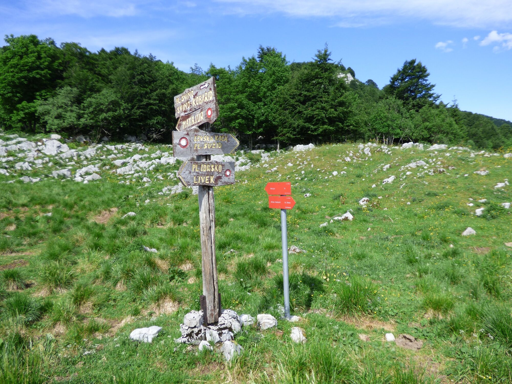
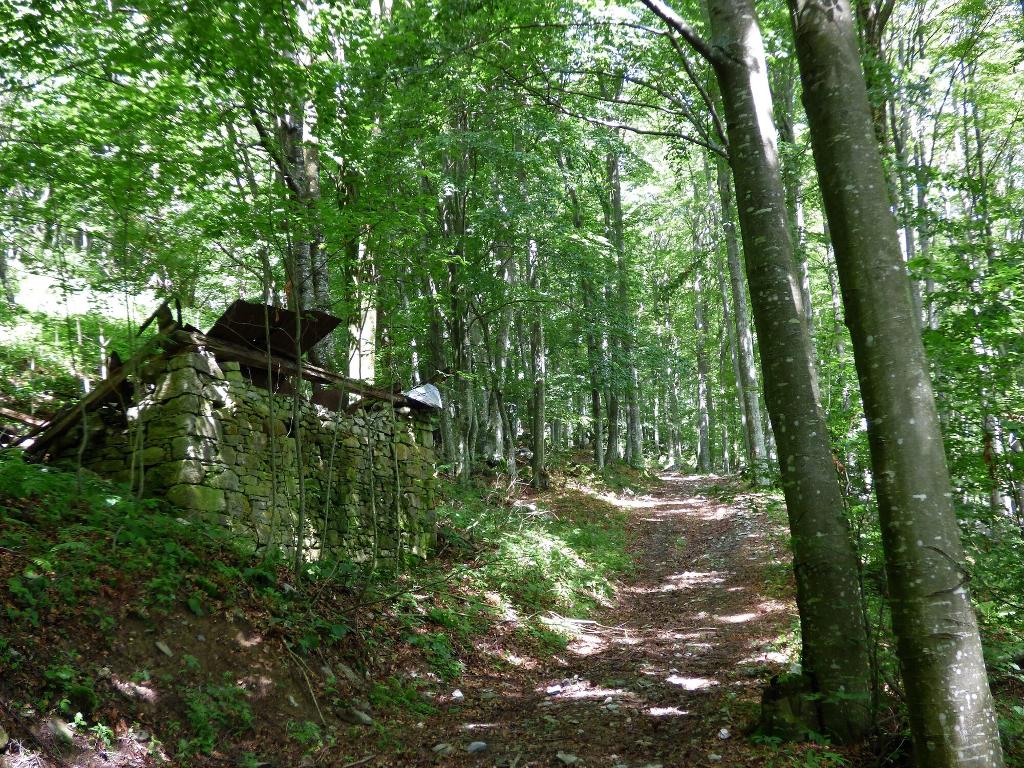
Mt. Matajur is a boundary mountain between the Republic of Slovenia and Italy. It is a wonderful sightseeing mountain and a genuine botanical garden during the spring and summer months. Because it is possible to make a circular tour, it is an attractive destination for many hikers.
- Arviointi
-
- Reitti
-
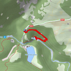
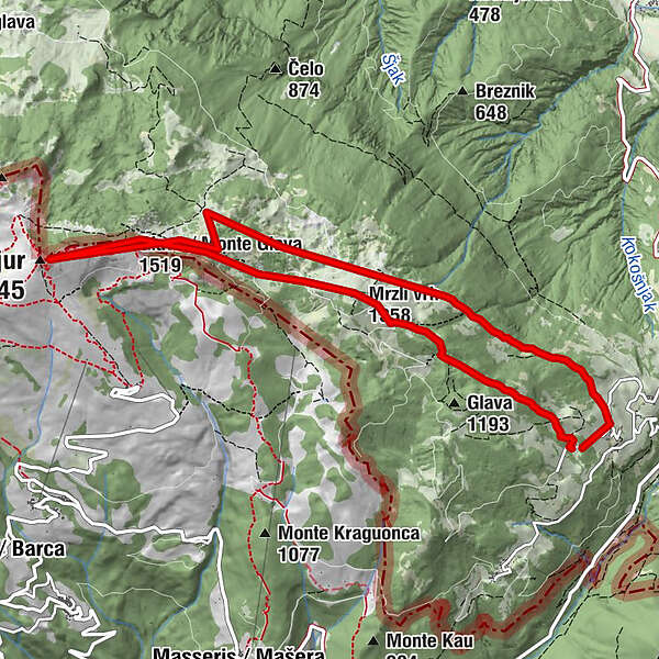
Srednji vrh (1.323 m)2,1 kmMrzli vrh (1.358 m)2,2 kmMatajur (1.645 m)4,4 kmAlsbach10,5 km
- Paras kausi
-
tammihelmimaalishuhtitoukokesäheinäelosyyslokamarrasjoulu
- Korkein kohta
- 1.622 m
- Kohde
-
Mt. Matajur (1642 m)
- Korkeusprofiili
-
 © outdooractive.com

-

-
KirjoittajaKiertue Mt. Matajur (1642 m), a boundary mountain between the Republic of Slovenia and Italy käyttää outdooractive.com toimitettu.
GPS Downloads


Yleistä tietoa
Virvokepysäkki
Sisäpiirin vinkki
Flora
Lupaava