© Turizem Dolina Soce - Ksenija Vogrinc
© Turizem Dolina Soce - Ksenija Vogrinc
© Turizem Dolina Soce - Ksenija Vogrinc
© Turizem Dolina Soce - Ksenija Vogrinc
© Turizem Dolina Soce - Ksenija Vogrinc
© Turizem Dolina Soce - Ksenija Vogrinc
© Turizem Dolina Soce - Ksenija Vogrinc
© Turizem Dolina Soce - Ksenija Vogrinc
© Turizem Dolina Soce - Ksenija Vogrinc
© Turizem Dolina Soce - Ksenija Vogrinc

- Lyhyt kuvaus
-
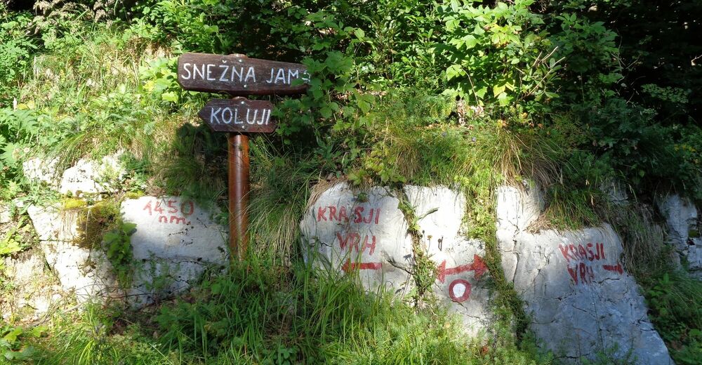
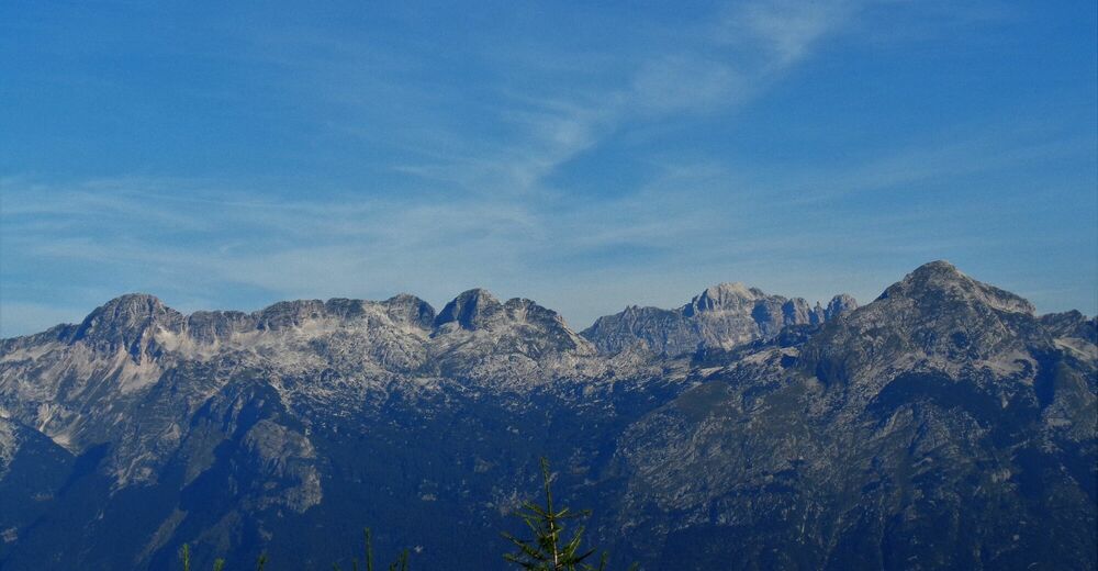
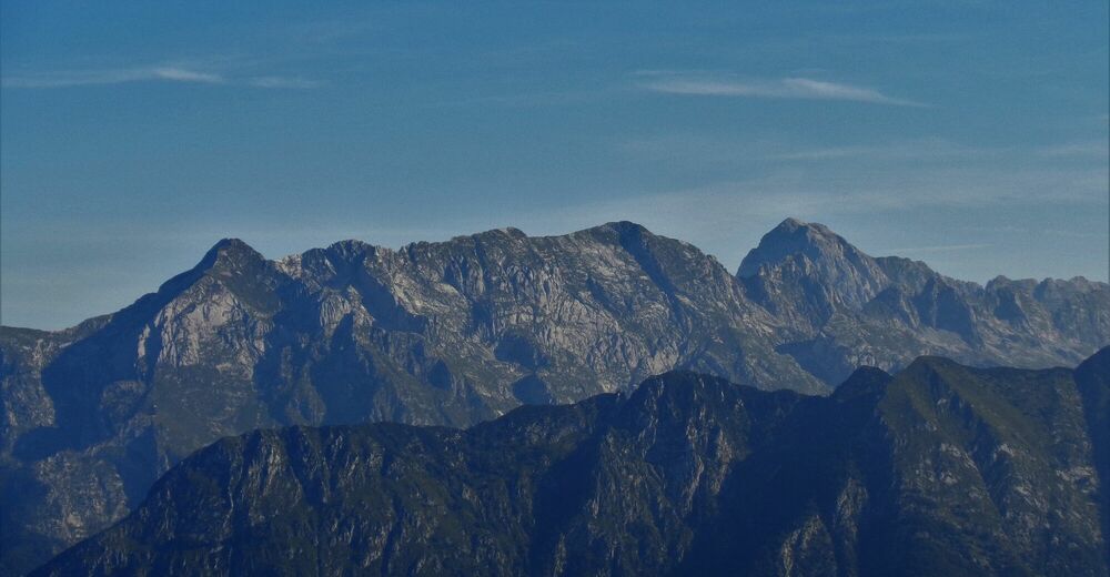
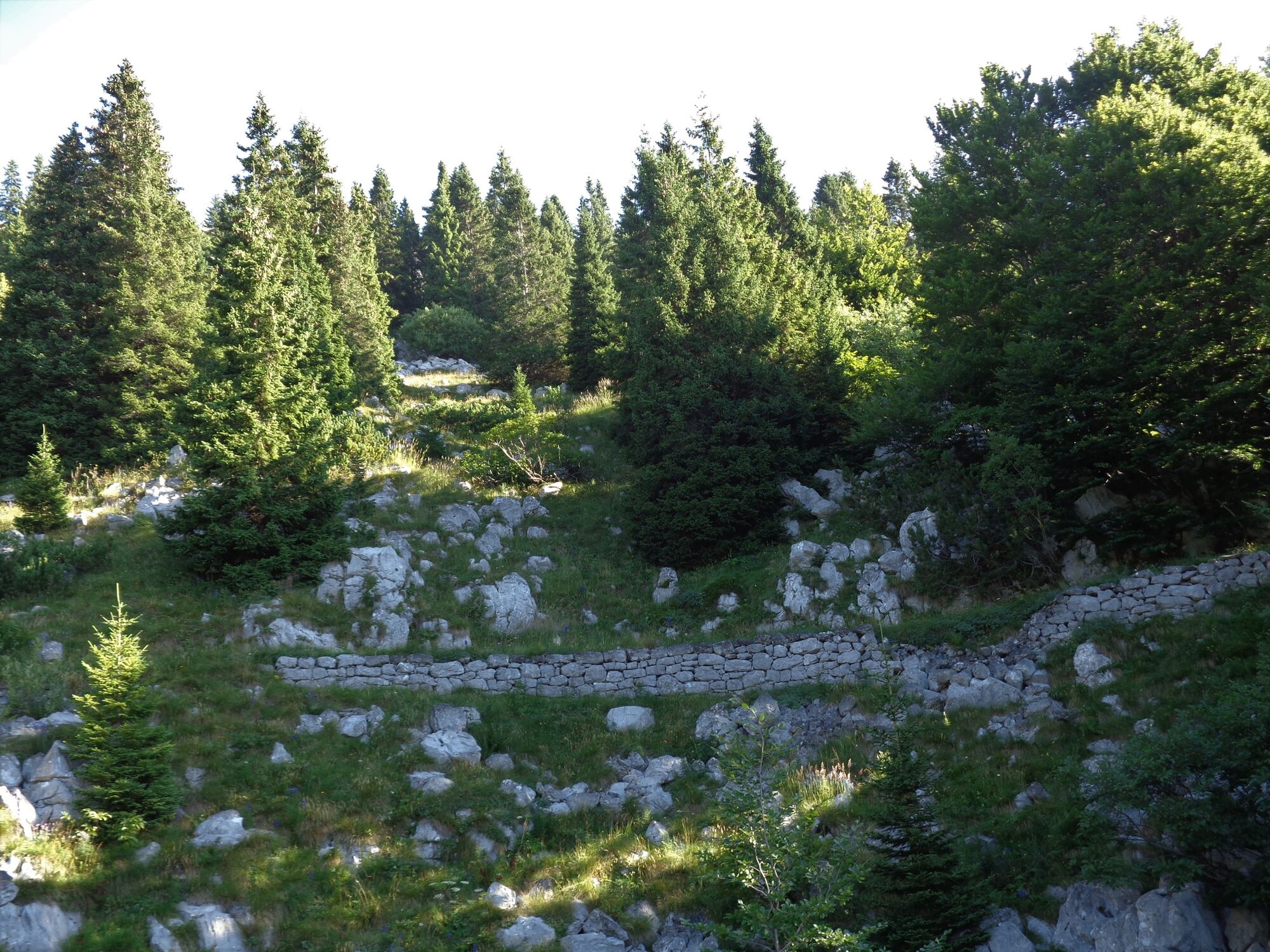
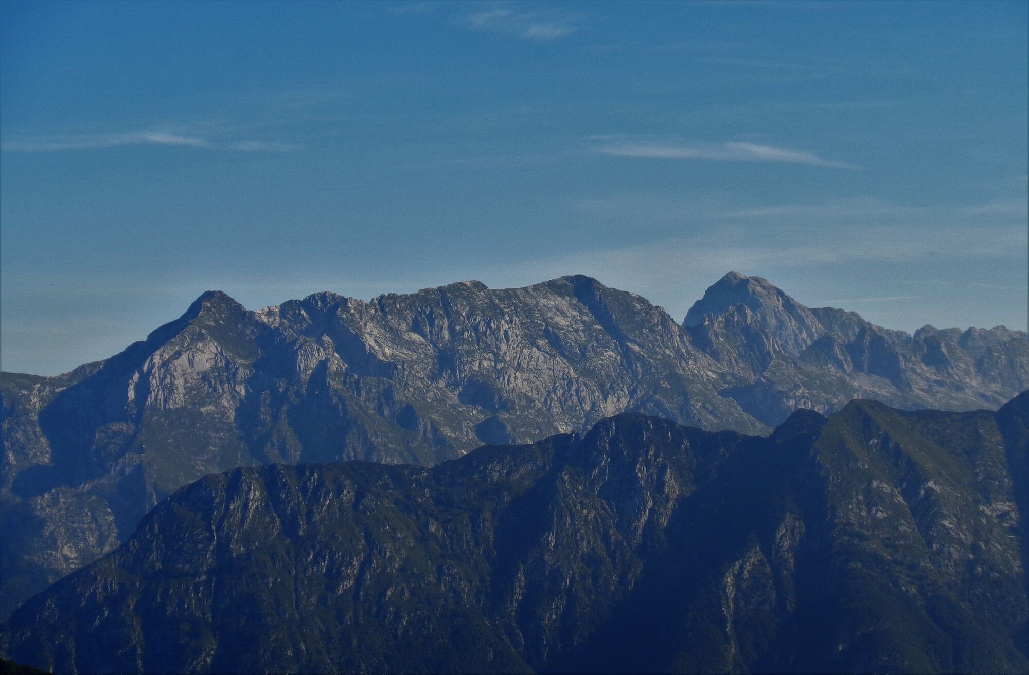
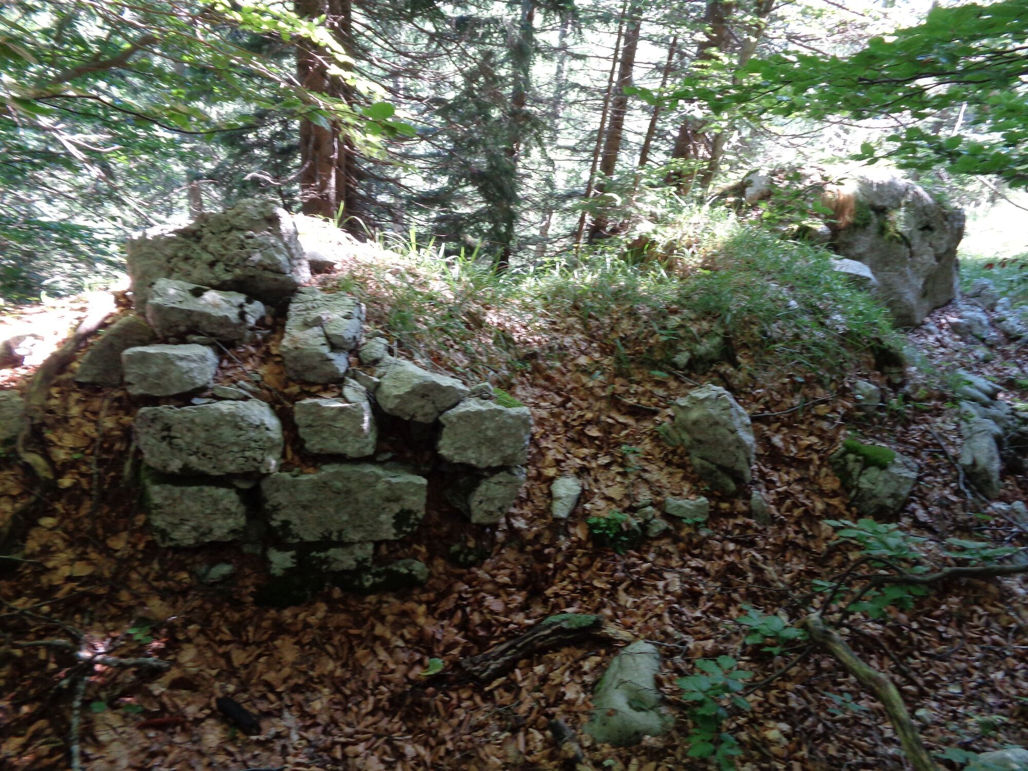
Tour to Mt. Debeljak is certainly the right choice if you would like to go back in history for a moment. It offers comfortable hiking through a beech forest and splendid views to all four directions.
- Vaikeus
-
tapa
- Arviointi
-
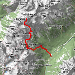
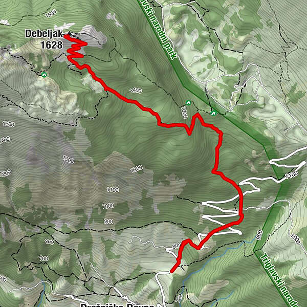
- Reitti
-
Debeljak (1.628 m)4,5 km
- Paras kausi
-
tammihelmimaalishuhtitoukokesäheinäelosyyslokamarrasjoulu
- Korkein kohta
- 1.599 m
- Kohde
-
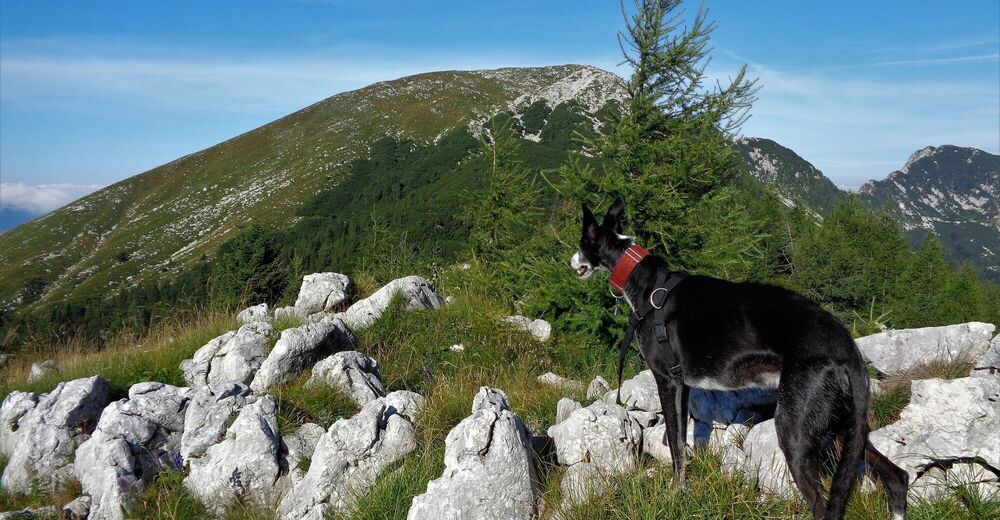
Mt. Debeljak (1628 m)
- Korkeusprofiili
-
 © outdooractive.com
-

-
KirjoittajaKiertue Tracing the history to Mt Debeljak (1628 m) käyttää outdooractive.com toimitettu.
GPS Downloads


Yleistä tietoa
Kulttuuri/Historiallinen
Sisäpiirin vinkki
Flora
Lupaava