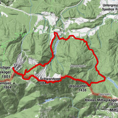
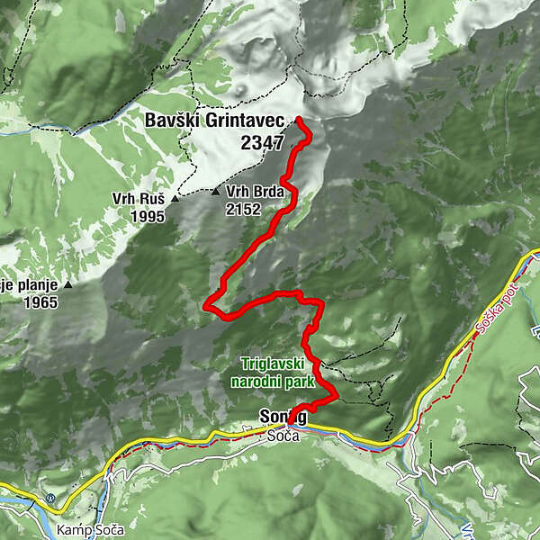
Tour to Mt. Bavški Grintavec from the village of Soča (2347 m)


© Turizem Dolina Soce - Mija Kokošin

© Turizem Dolina Soce - Mija Kokošin

© Turizem Dolina Soce - Mija Kokošin

© Turizem Dolina Soce - Mija Kokošin

- Lyhyt kuvaus
-
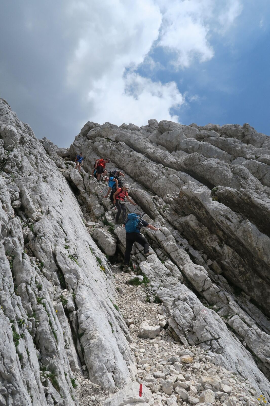
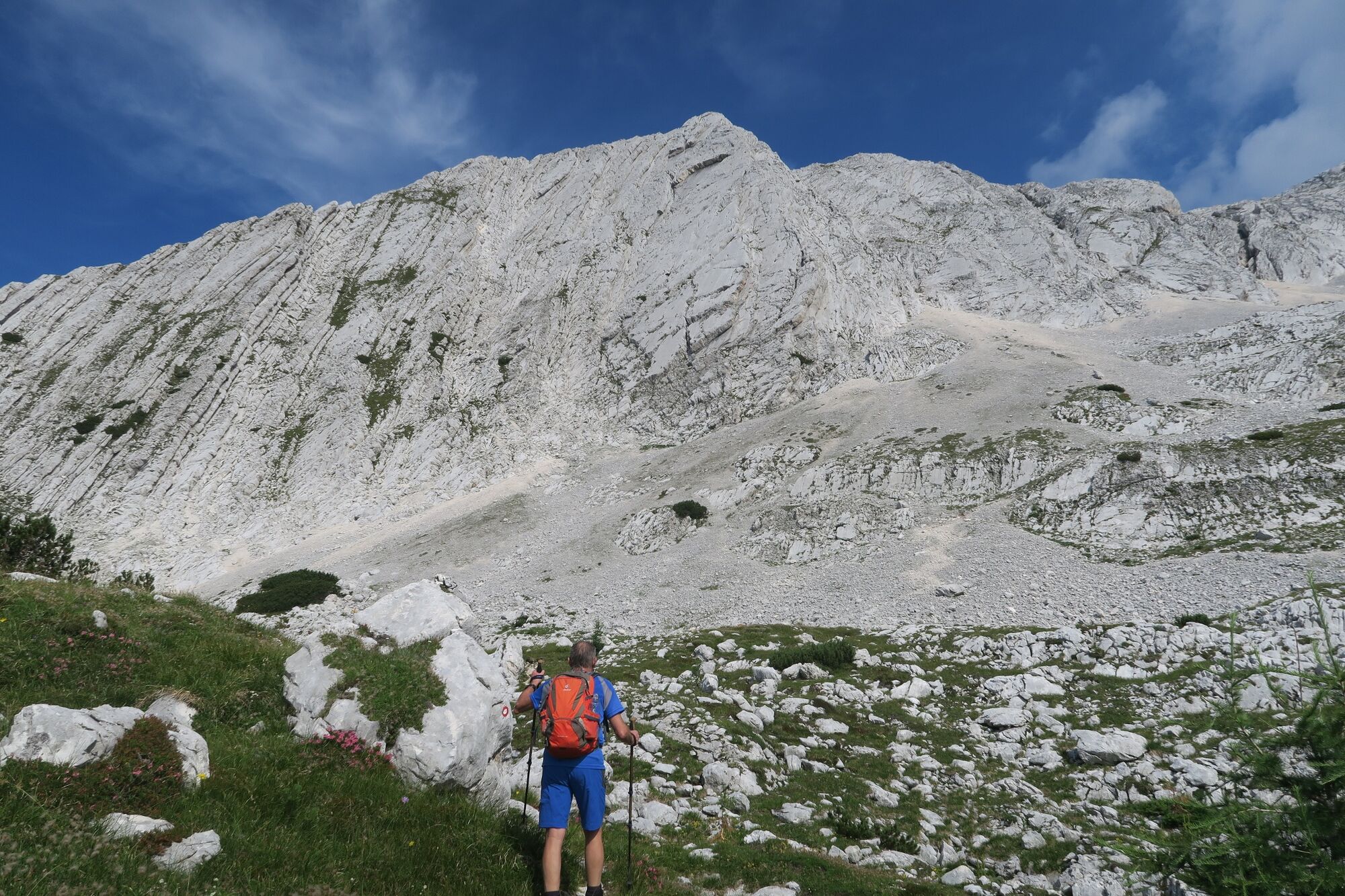
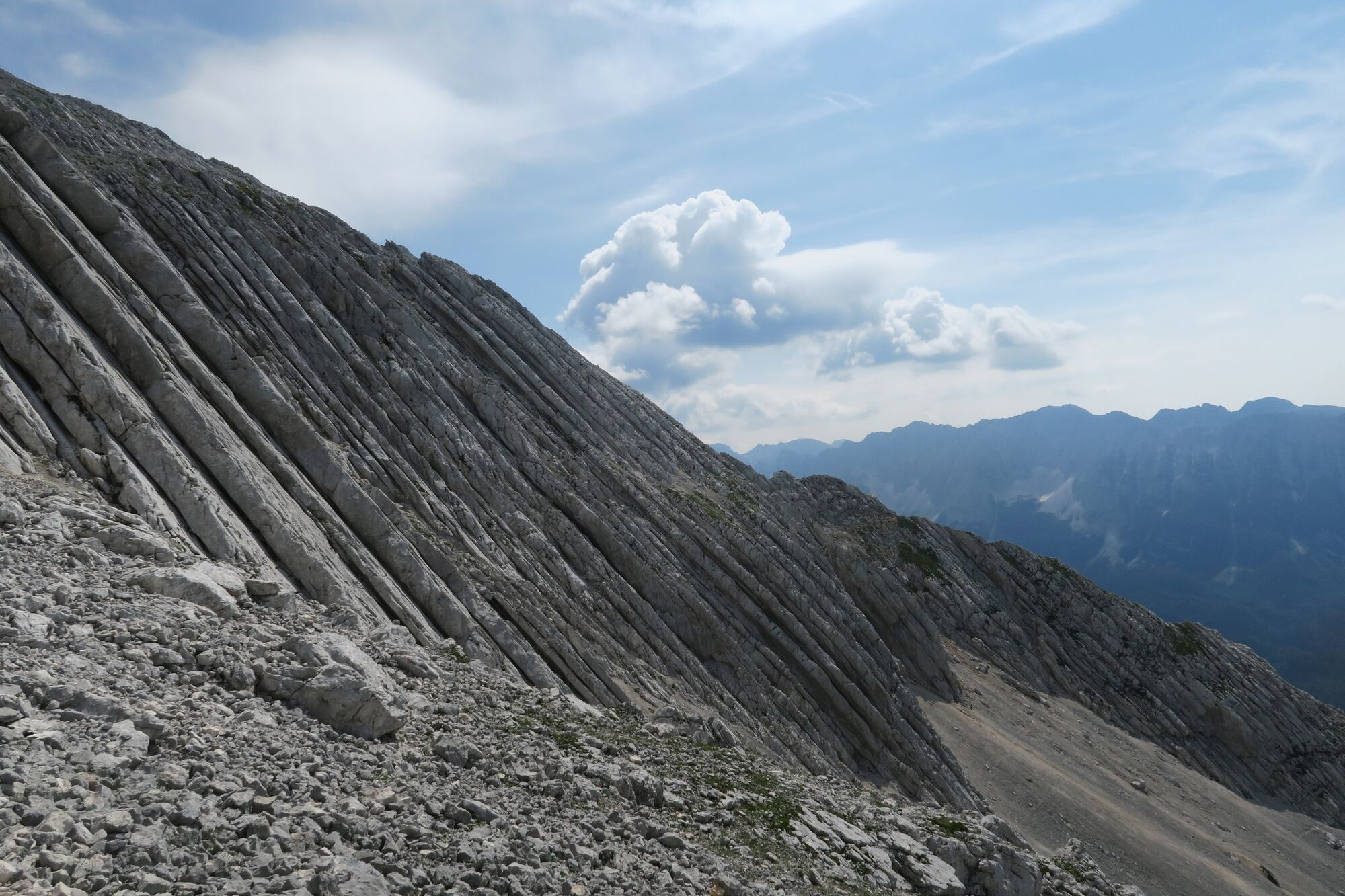
You will certainly experience something new along the ascent to one of the finest Slovenian summits. At the same time, more demanding hikers can also take this tour as an excellent training opportunity.
- Vaikeus
-
vaikea
- Arviointi
-
- Reitti
-
SočaPlanina nad Sočo3,4 kmPlanina nad Sočo8,6 kmSoča12,0 km
- Paras kausi
-
tammihelmimaalishuhtitoukokesäheinäelosyyslokamarrasjoulu
- Korkein kohta
- 2.285 m
- Kohde
-
Mt. Bavški Grintavec (2347 m)
- Korkeusprofiili
-
 © outdooractive.com

- Kirjoittaja
-
Kiertue Tour to Mt. Bavški Grintavec from the village of Soča (2347 m) käyttää outdooractive.com toimitettu.
GPS Downloads


Yleistä tietoa
Parantava ilmasto
Sisäpiirin vinkki
Flora
Fauna
Lupaava
Lisää retkiä alueilla