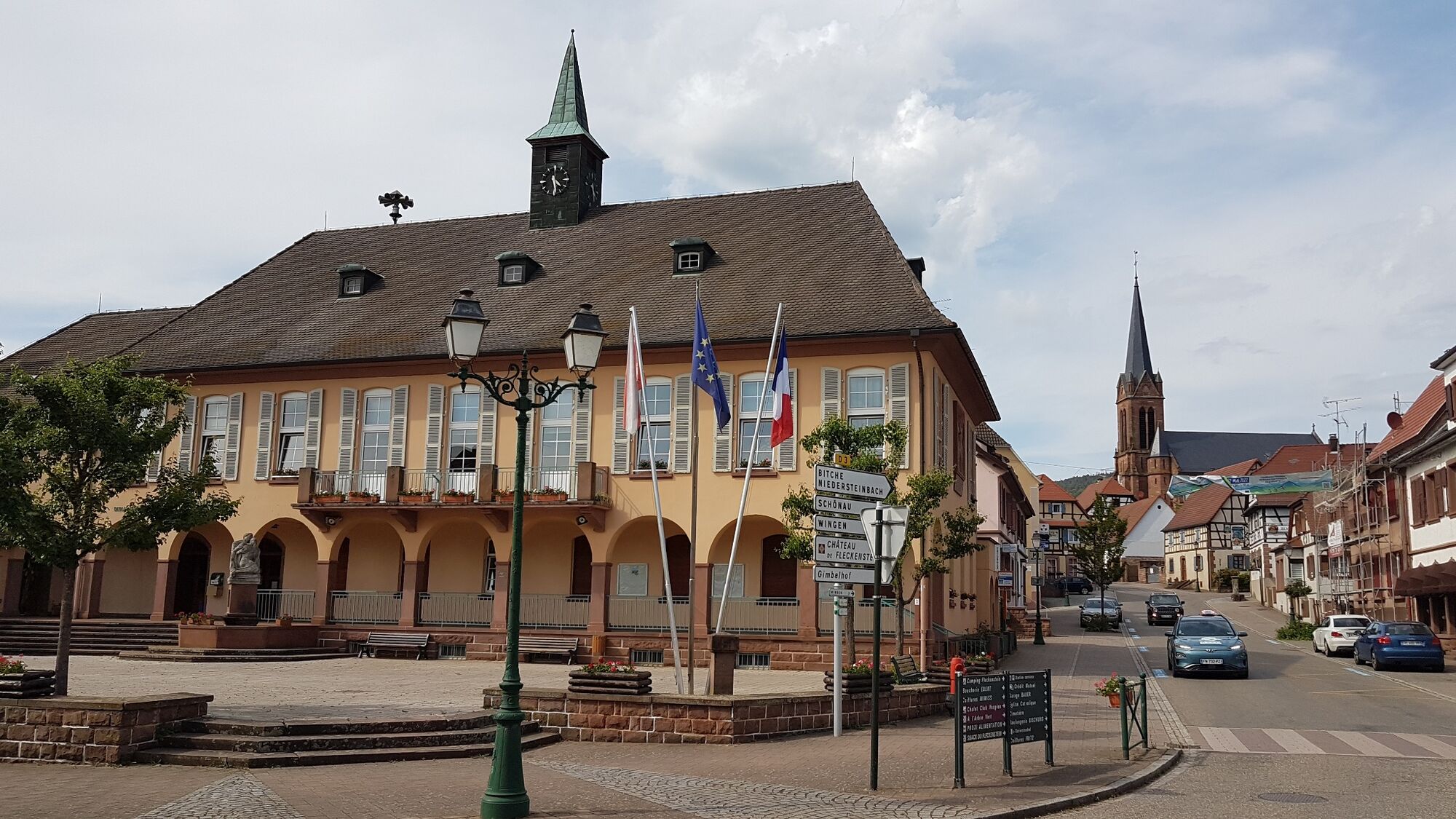
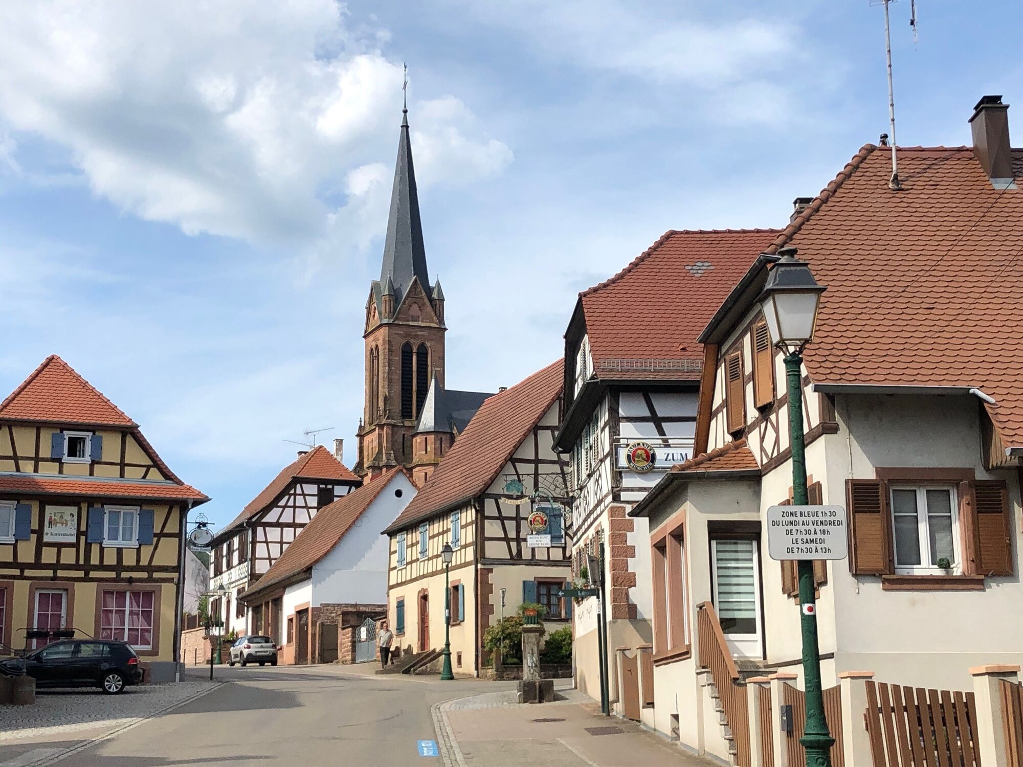
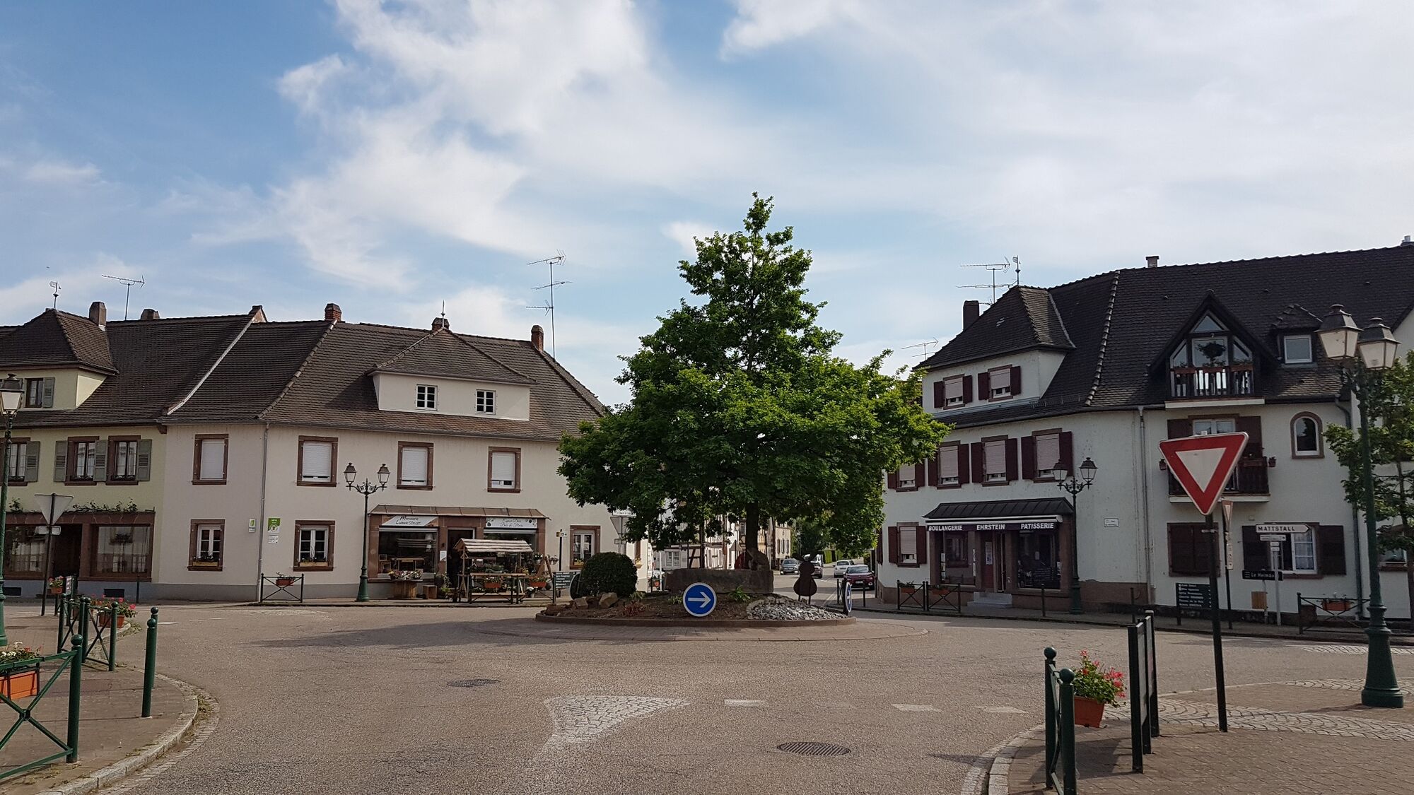
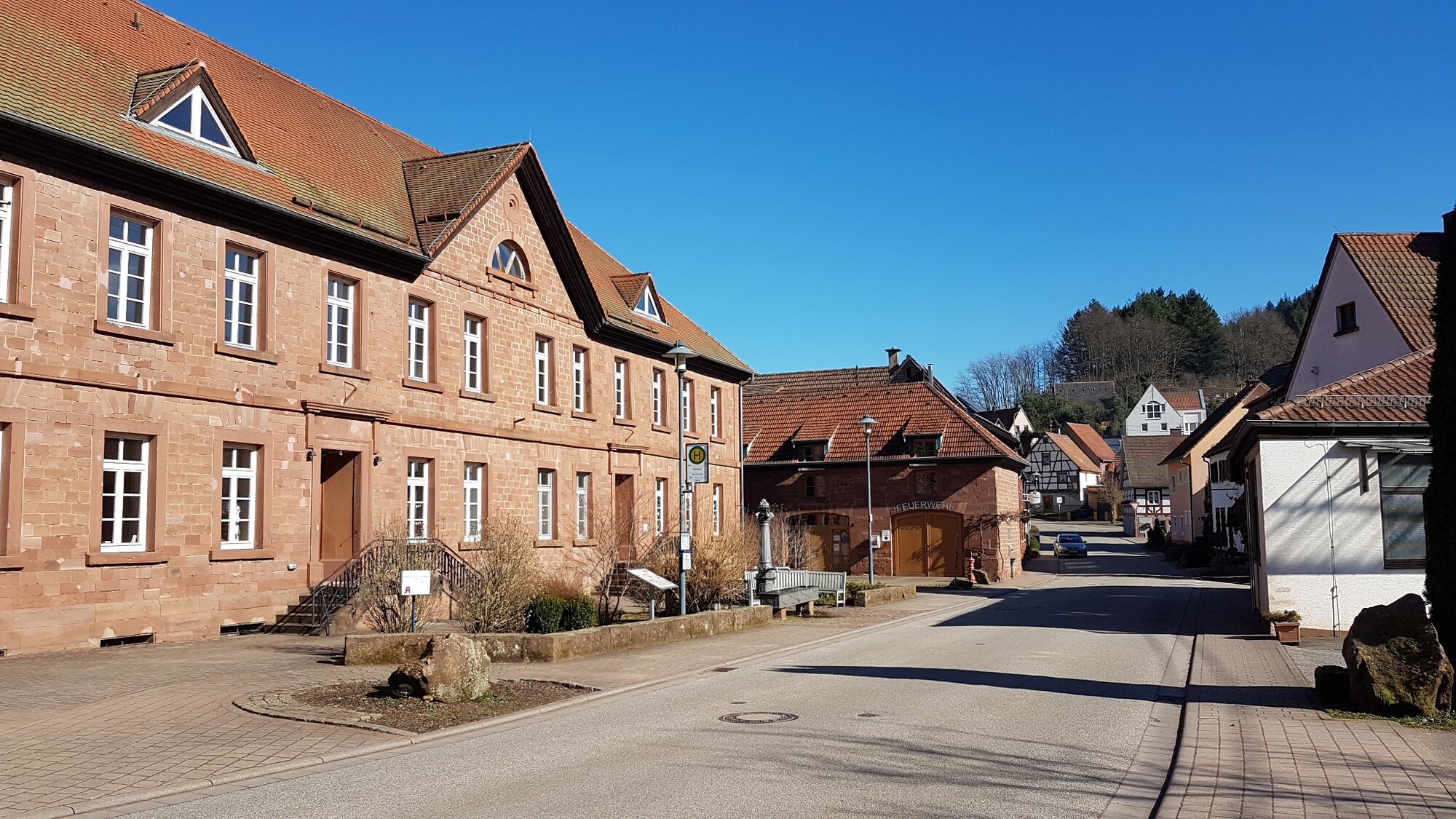
© Dahner Felsenland - Anette Lang

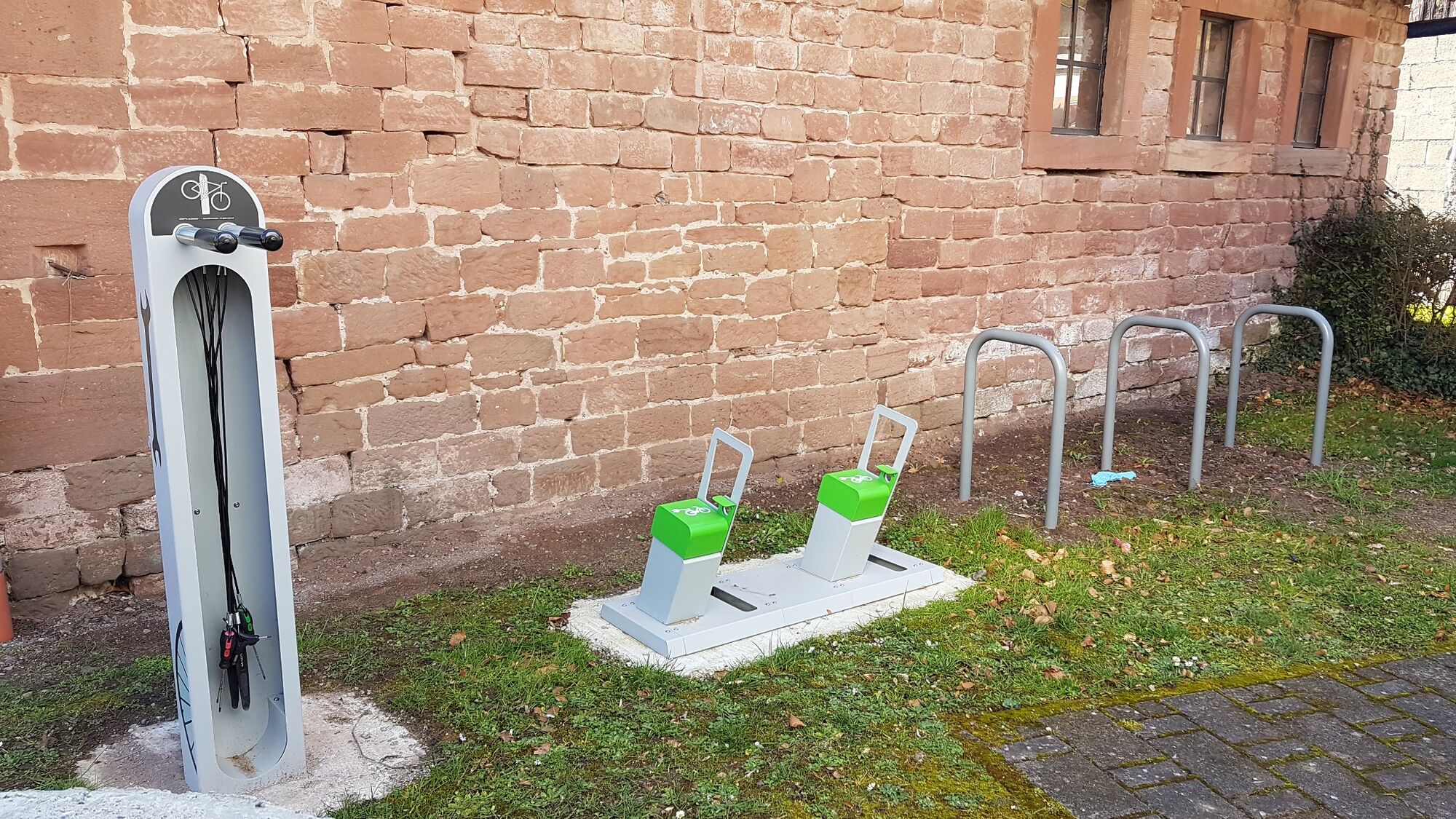
© Dahner Felsenland - Grafik Christoph Riemeyer

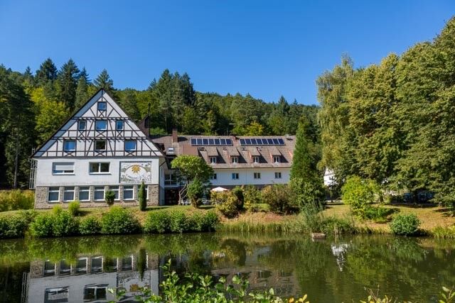
© Dahner Felsenland - Jacques Noll

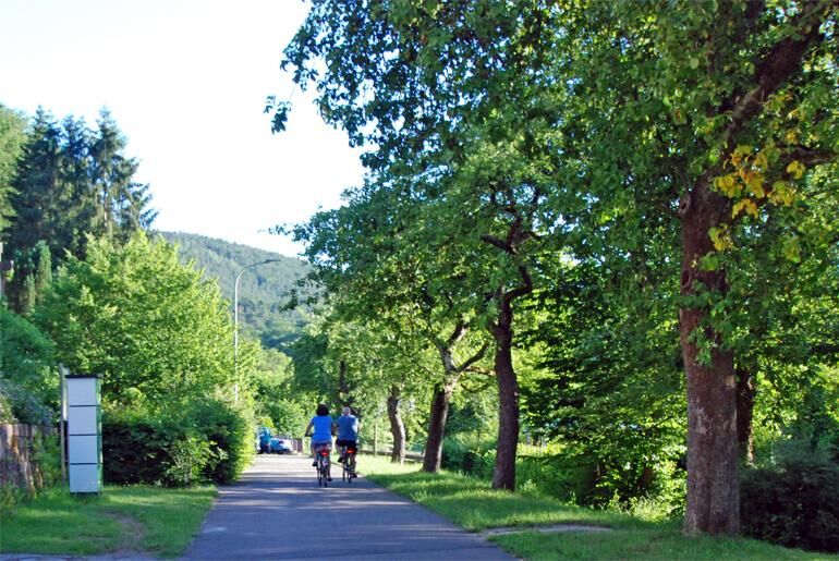
© Dahner Felsenland - Anette Lang

© Dahner Felsenland - Kurt Groß

© Dahner Felsenland - Anette Lang


© Dahner Felsenland - Anette Lang

© Dahner Felsenland - Jacques Noll

© Dahner Felsenland - Anette Lang
Retkitiedot
33,06km
190
- 342m
411hm
405hm
04:00h
- Lyhyt kuvaus
-
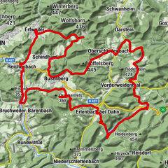
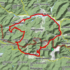
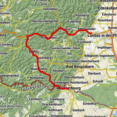
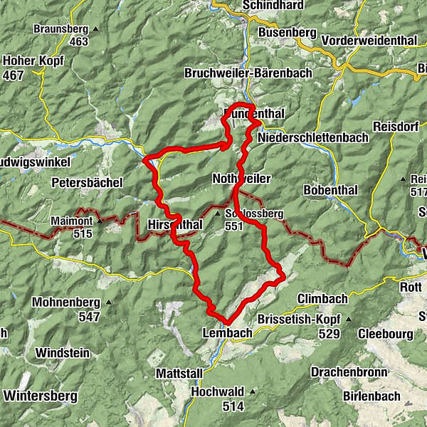
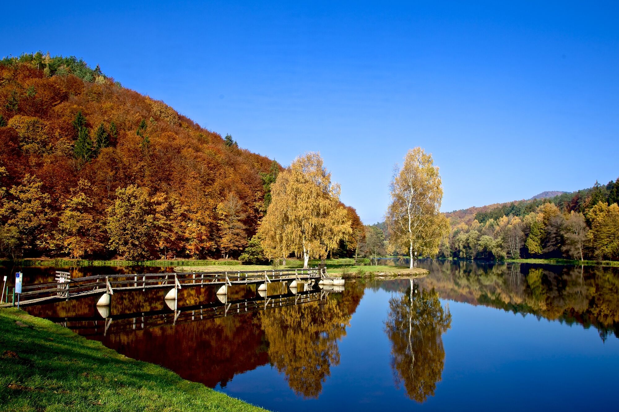
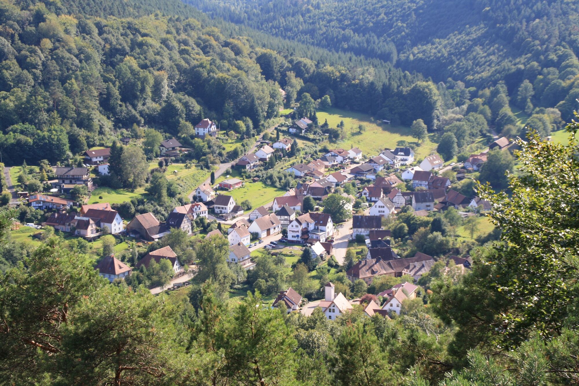
This approximately 31,1 km long round trip leads, as the name "Hiwwe un Driwwe" suggests, through beautiful places on both the French and the German side. Colourful meadows and fields, but also colourful mixed forests make every cyclist's heart beat faster.
- Vaikeus
-
tapa
- Arviointi
-
- Reitti
-
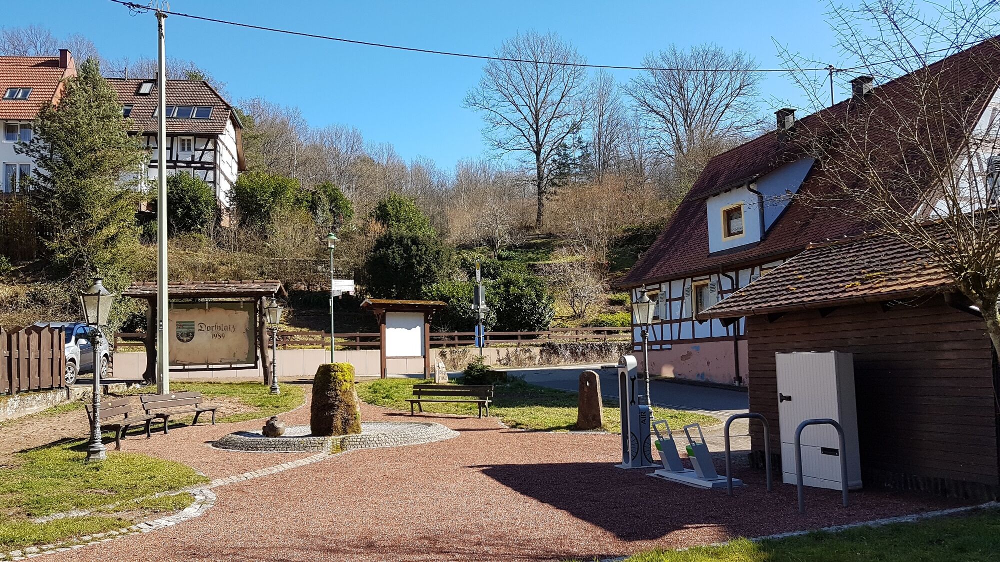
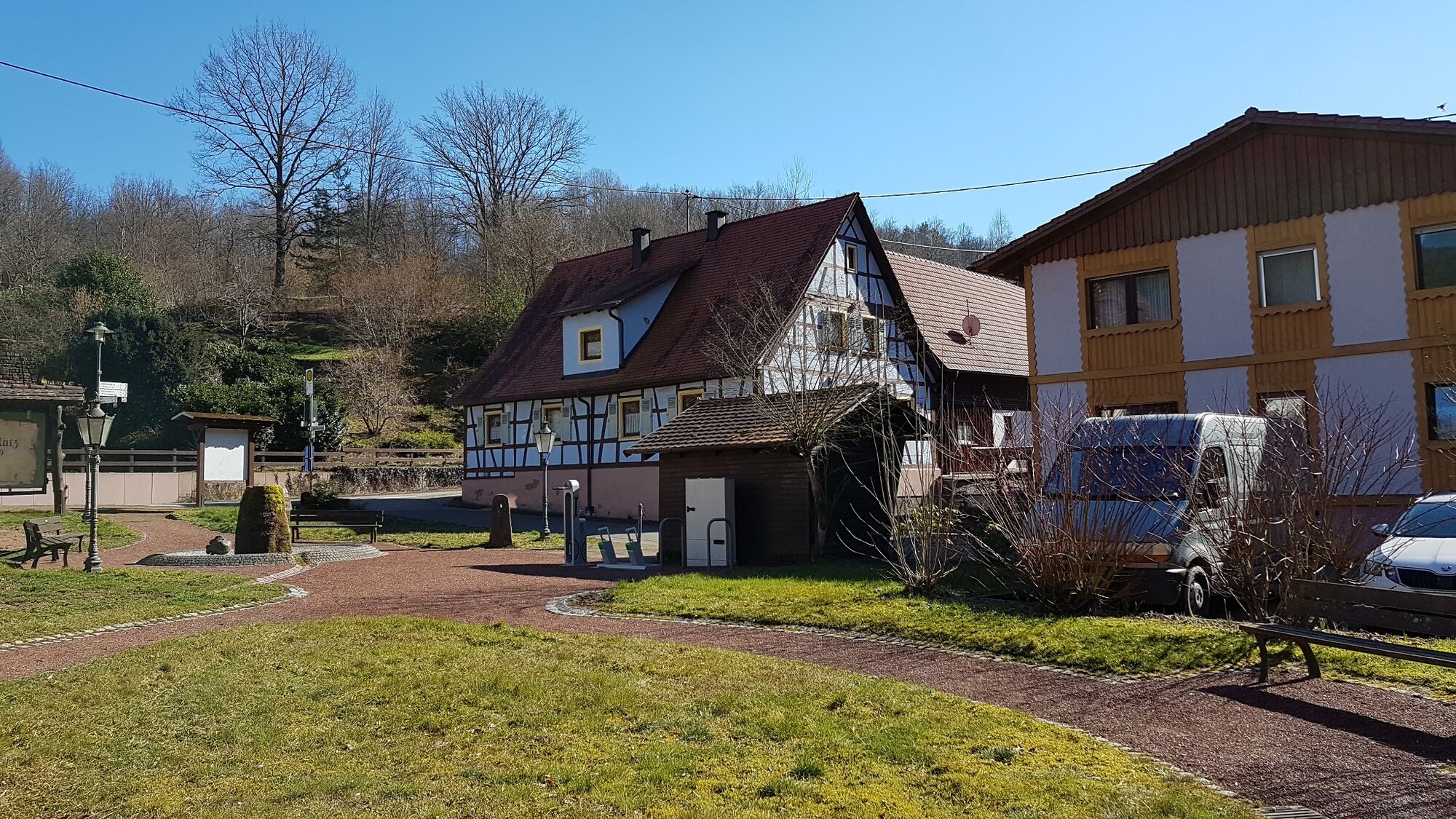
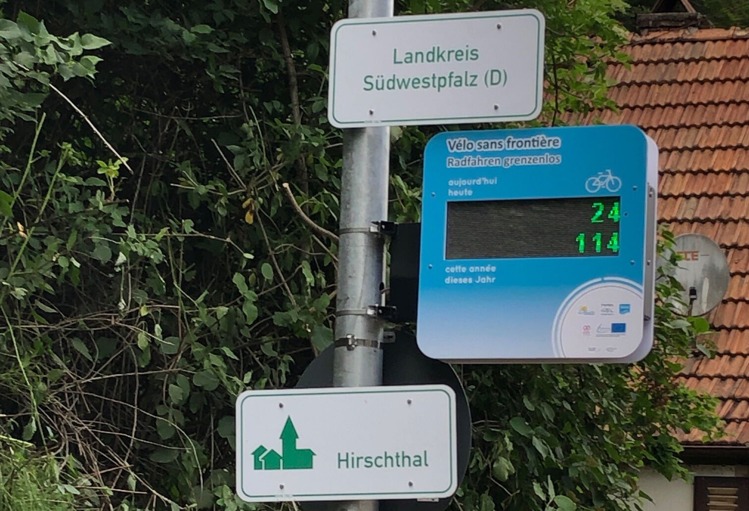
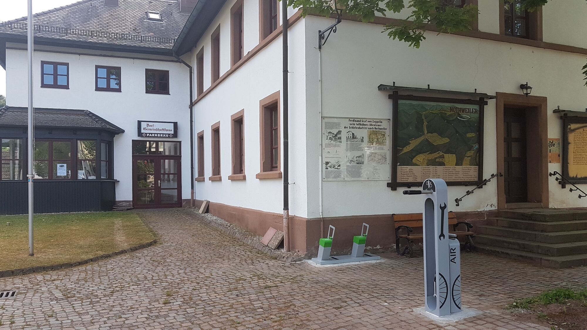
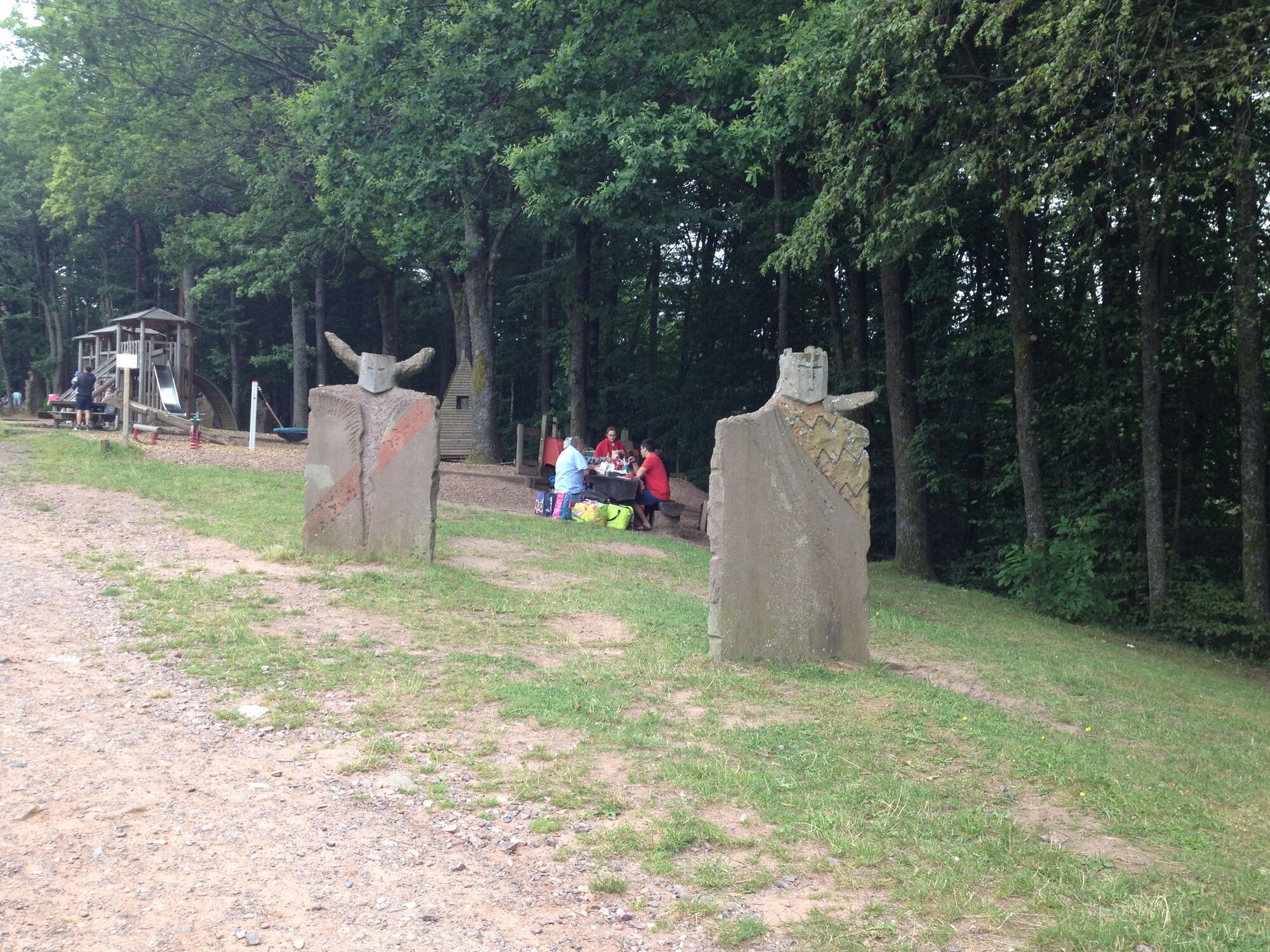
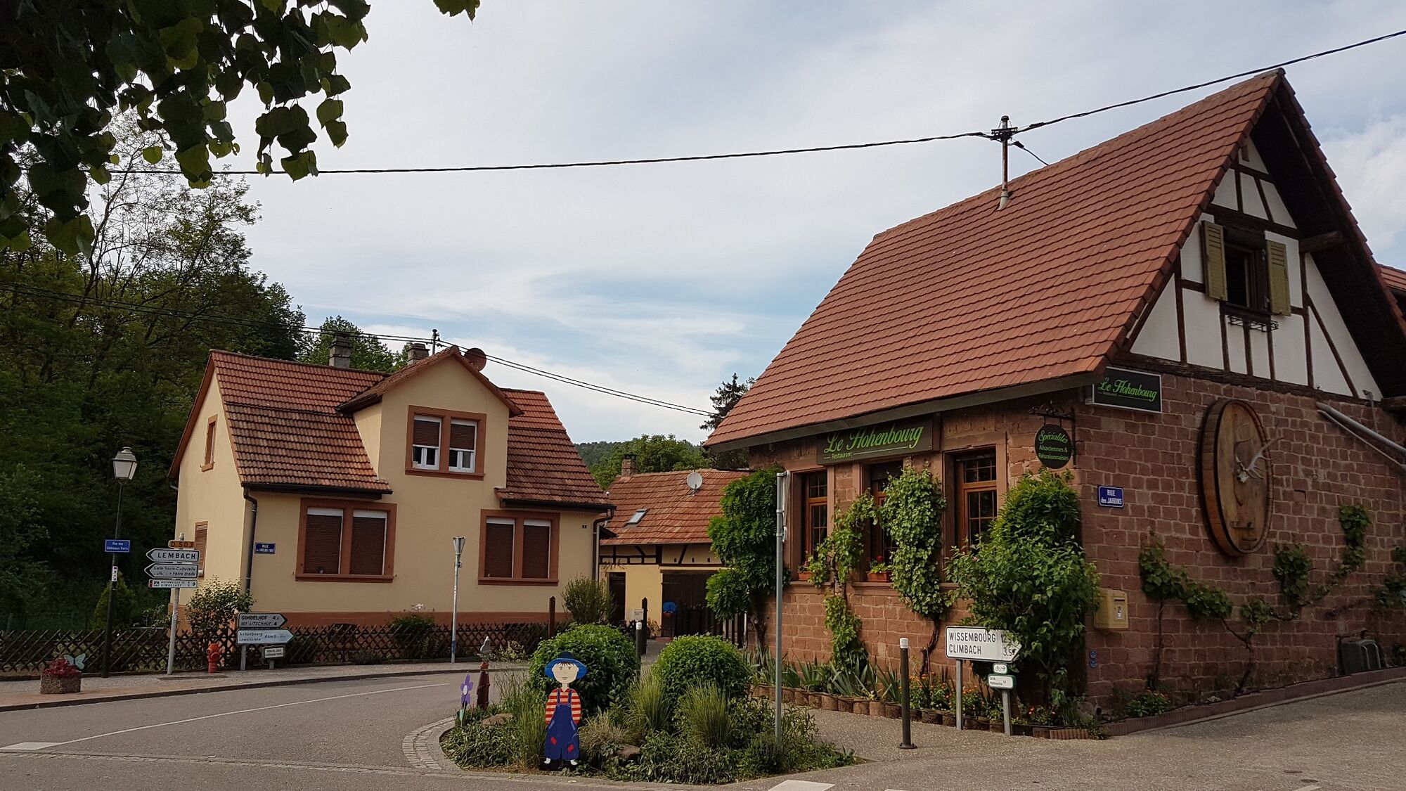
Buvette du Camping du Fleckenstein3,8 kmHirschthal (206 m)6,6 kmSchönau (Pfalz)8,8 kmRumbachtal14,0 kmRumbach17,2 kmBundenthal19,6 kmHotel Zur Wegelnburg23,2 kmNothweiler (268 m)23,3 kmSt. Georg23,4 kmLe Hohenbourg29,2 kmPetit Wingen29,3 kmWingen30,3 km
- Paras kausi
-
tammihelmimaalishuhtitoukokesäheinäelosyyslokamarrasjoulu
- Korkein kohta
- 342 m
- Kohde
-
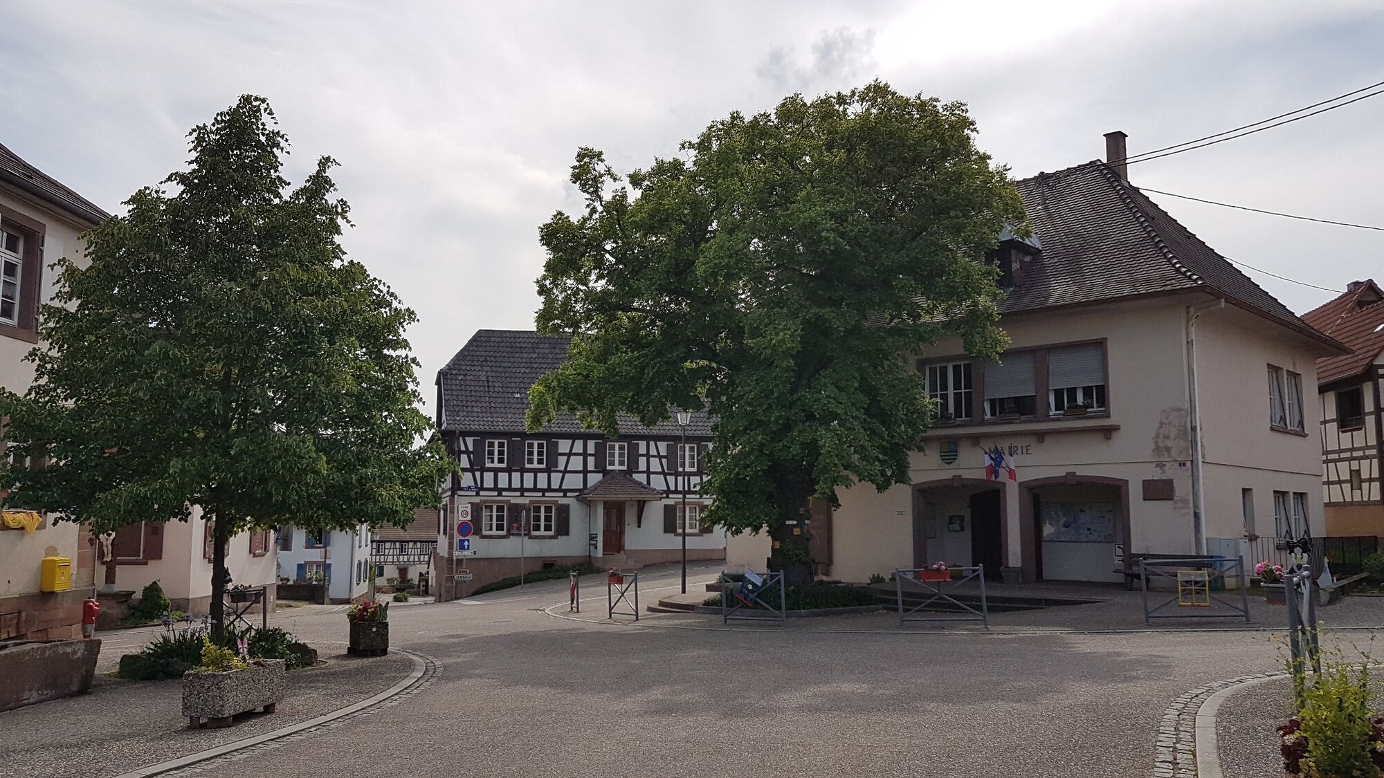
Parkplatz am Rathaus, 1 Route de Bitche, F-67510 Lembach/F
- Korkeusprofiili
-
 © outdooractive.com


-

-
KirjoittajaKiertue Hiwwe un Driwwe - Tour käyttää outdooractive.com toimitettu.
GPS Downloads


Yleistä tietoa
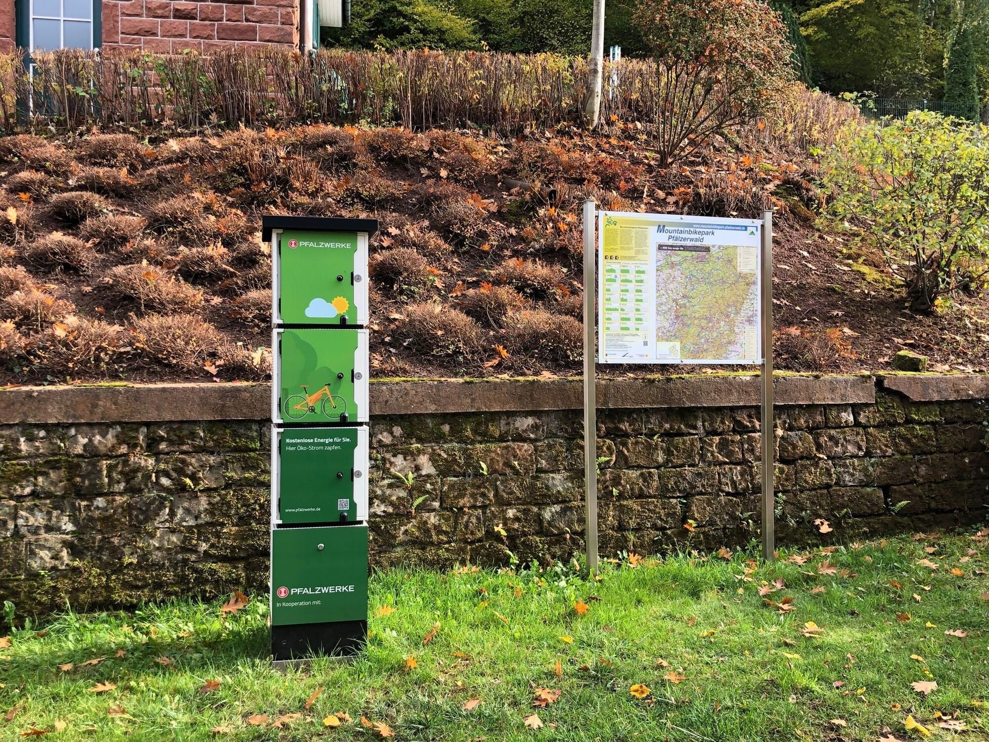
Virvokepysäkki
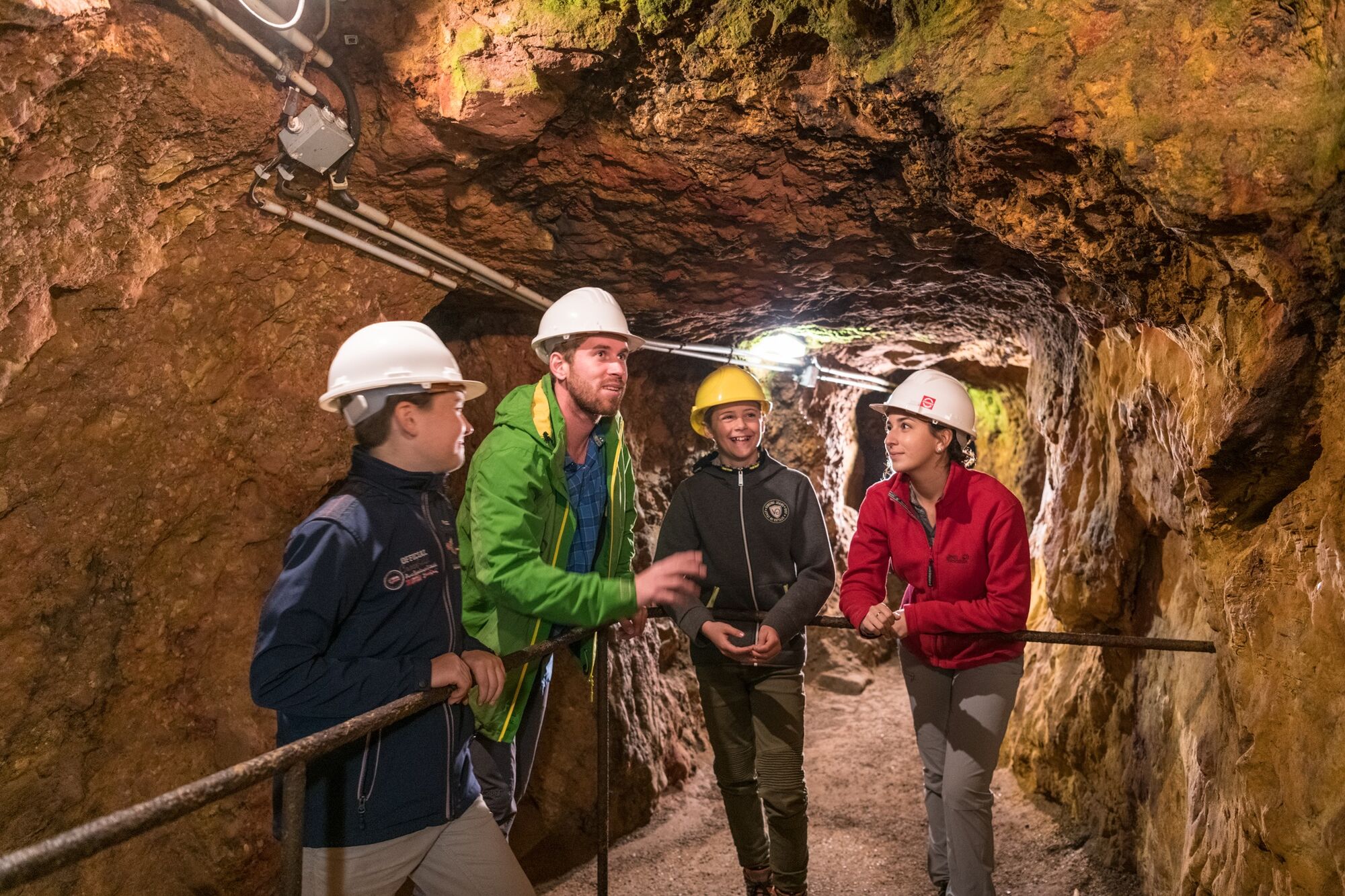
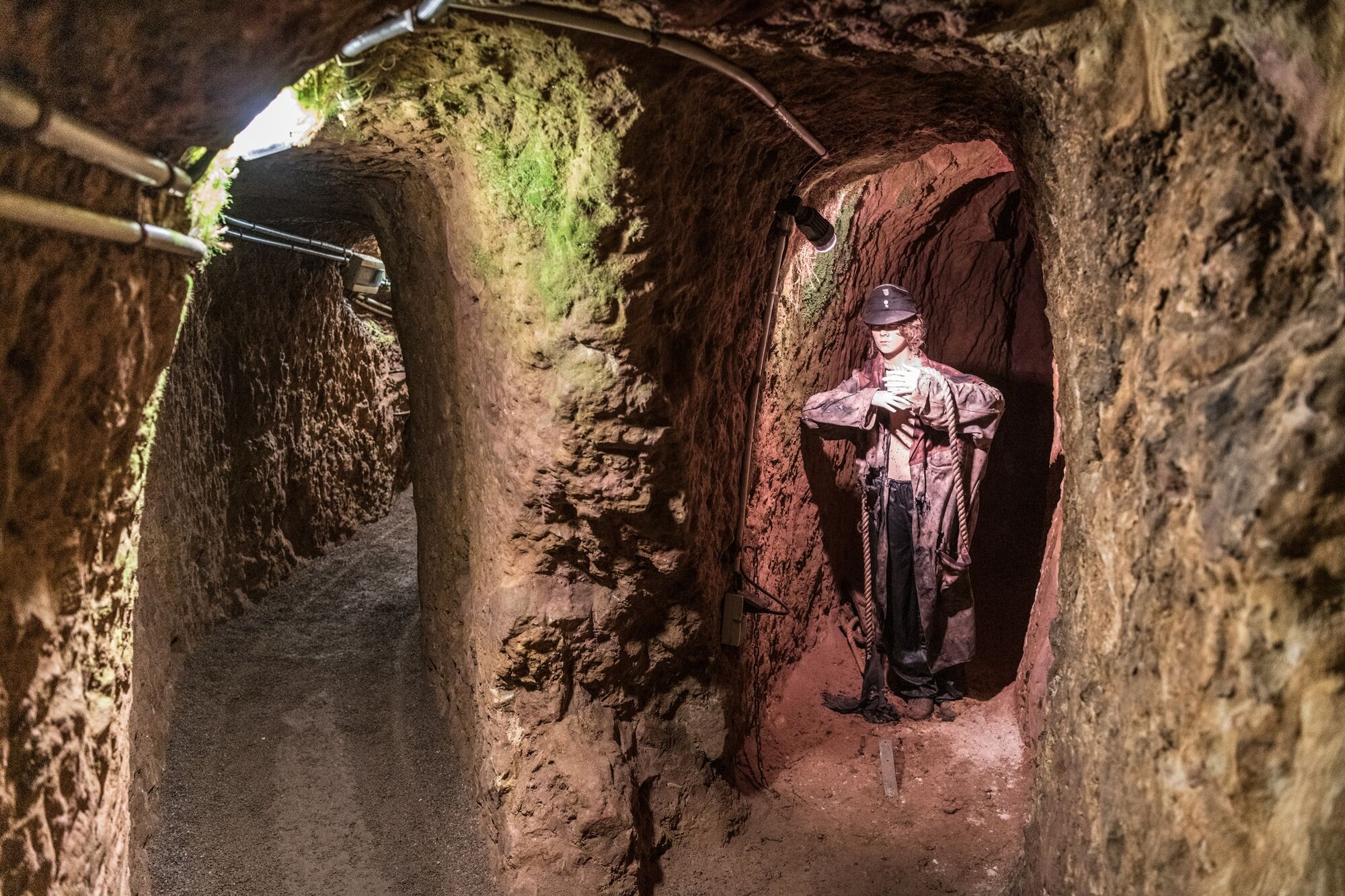
Kulttuuri/Historiallinen
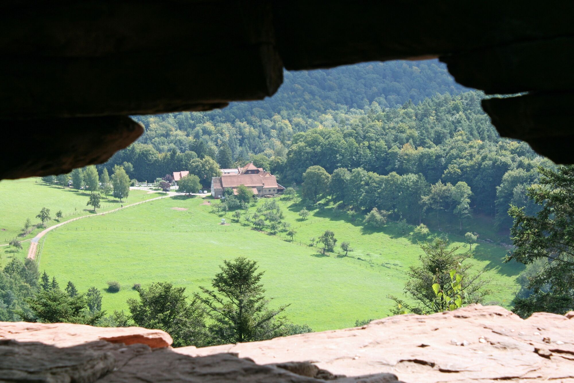
Sisäpiirin vinkki
Flora
Lupaava
Lisää retkiä alueilla
-
Pfalz
128
-
Sauer-Pechelbronn
48
-
Drachenbronn-Birlenbach
15