© mdv-tours

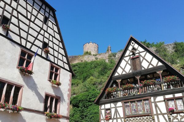
© OT Vallée de Kaysersberg - Guillaume BERNARD

© OT Vallée de Kaysersberg - Guillaume BERNARD

© OT Vallée de Kaysersberg - Guillaume BERNARD

© OT Vallée de Kaysersberg - Guillaume BERNARD

- Lyhyt kuvaus
-
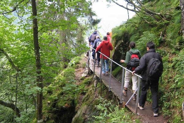
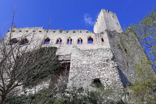
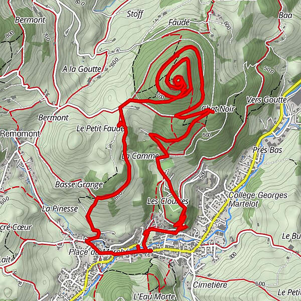
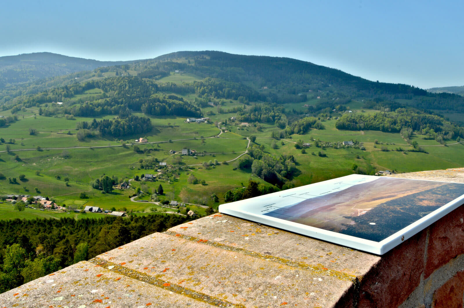
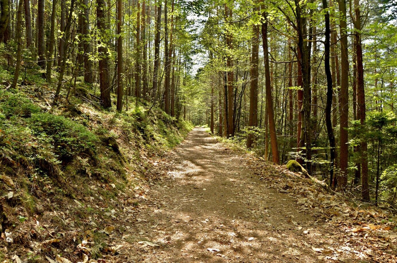
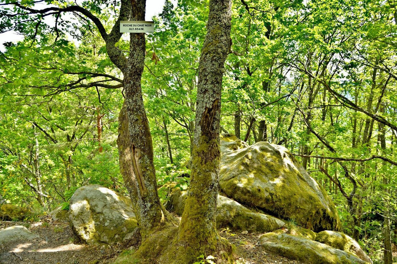
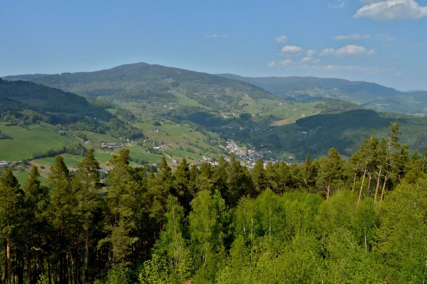
Departure from Parc Lefébure, followed by a small climb, with a view of the church and the center of the village. Passage in front of the campsite, towards Roche du Chat Noir, also with a beautiful viewpoint. Climb to the Tour du Faudé, then to the keep (93 steps), to discover a sublime 360 ° panorama over the valley. Document "Ideas for hikes" including 8 trails and 4 hikes on sale € 2 at the Tourist Office reception desks
- Vaikeus
-
tapa
- Arviointi
-
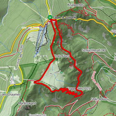
- Reitti
-
Urbeis0,8 kmChat Noir3,8 kmUrbeis10,7 km
- Paras kausi
-
tammihelmimaalishuhtitoukokesäheinäelosyyslokamarrasjoulu
- Korkein kohta
- 769 m
- Kohde
-
Parc Lefébure - Orbey
- Korkeusprofiili
-
 © outdooractive.com
-

-
KirjoittajaKiertue Trail - Panorama Orbey Faudé käyttää outdooractive.com toimitettu.
GPS Downloads


Yleistä tietoa
Virvokepysäkki
Parantava ilmasto
Kulttuuri/Historiallinen
Flora
Fauna
Lupaava
Lisää retkiä alueilla
-
Haut-Rhin
1426
-
Vallée de Kaysersberg
731