- Lyhyt kuvaus
-
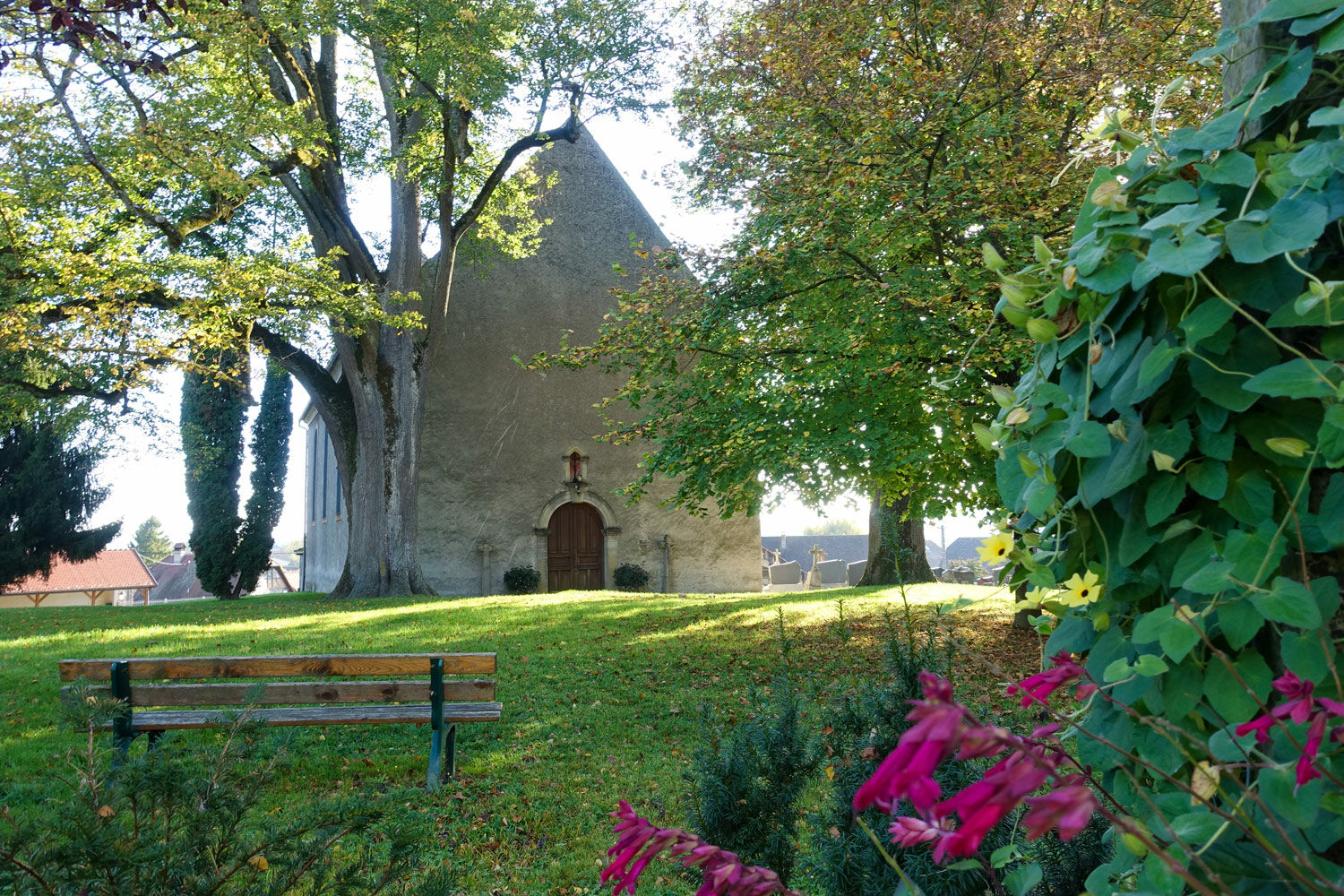
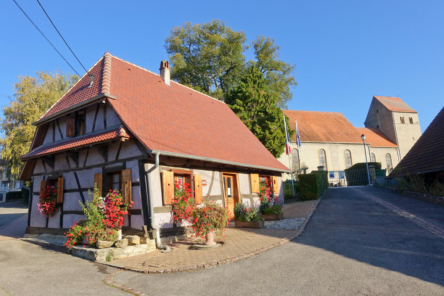
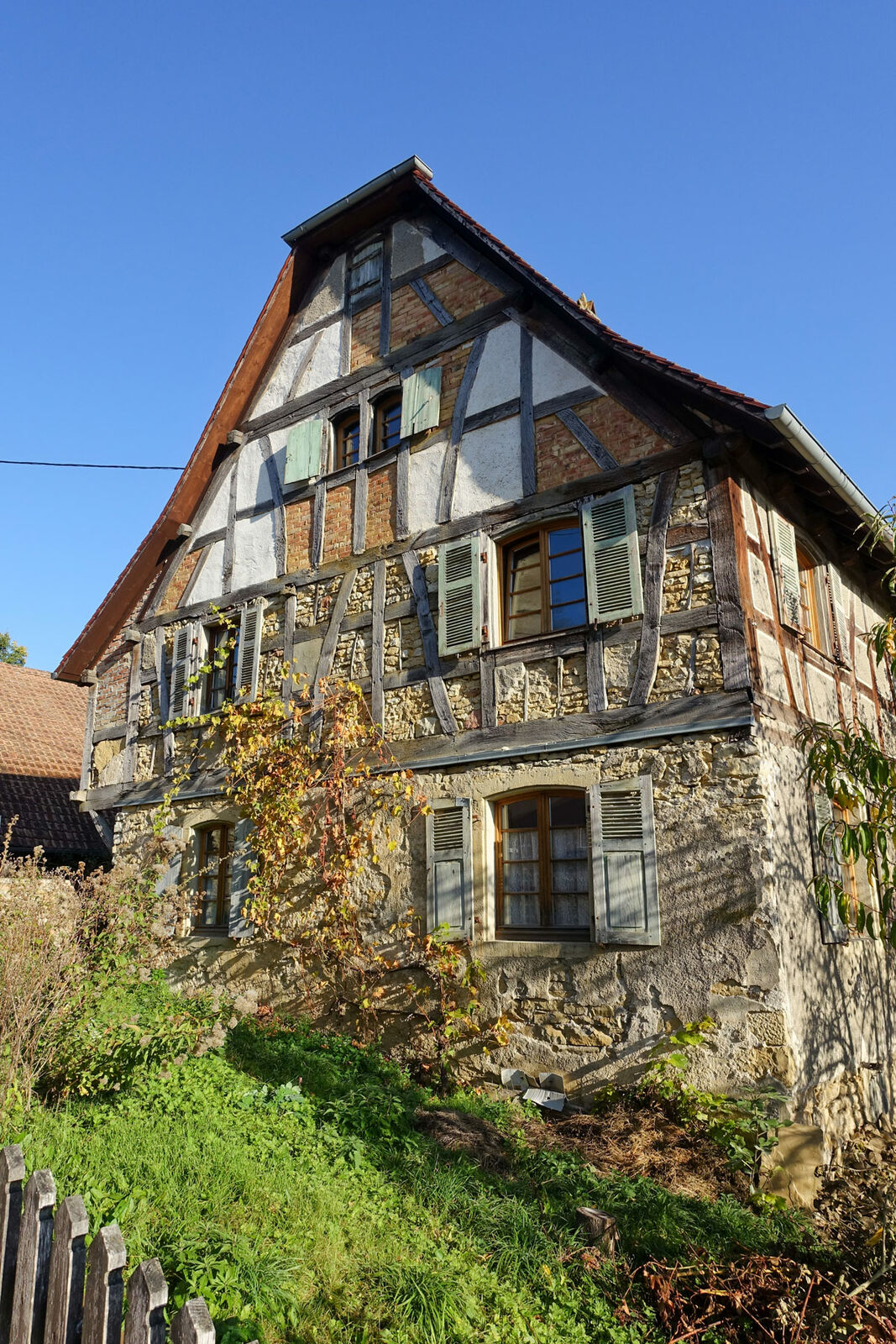
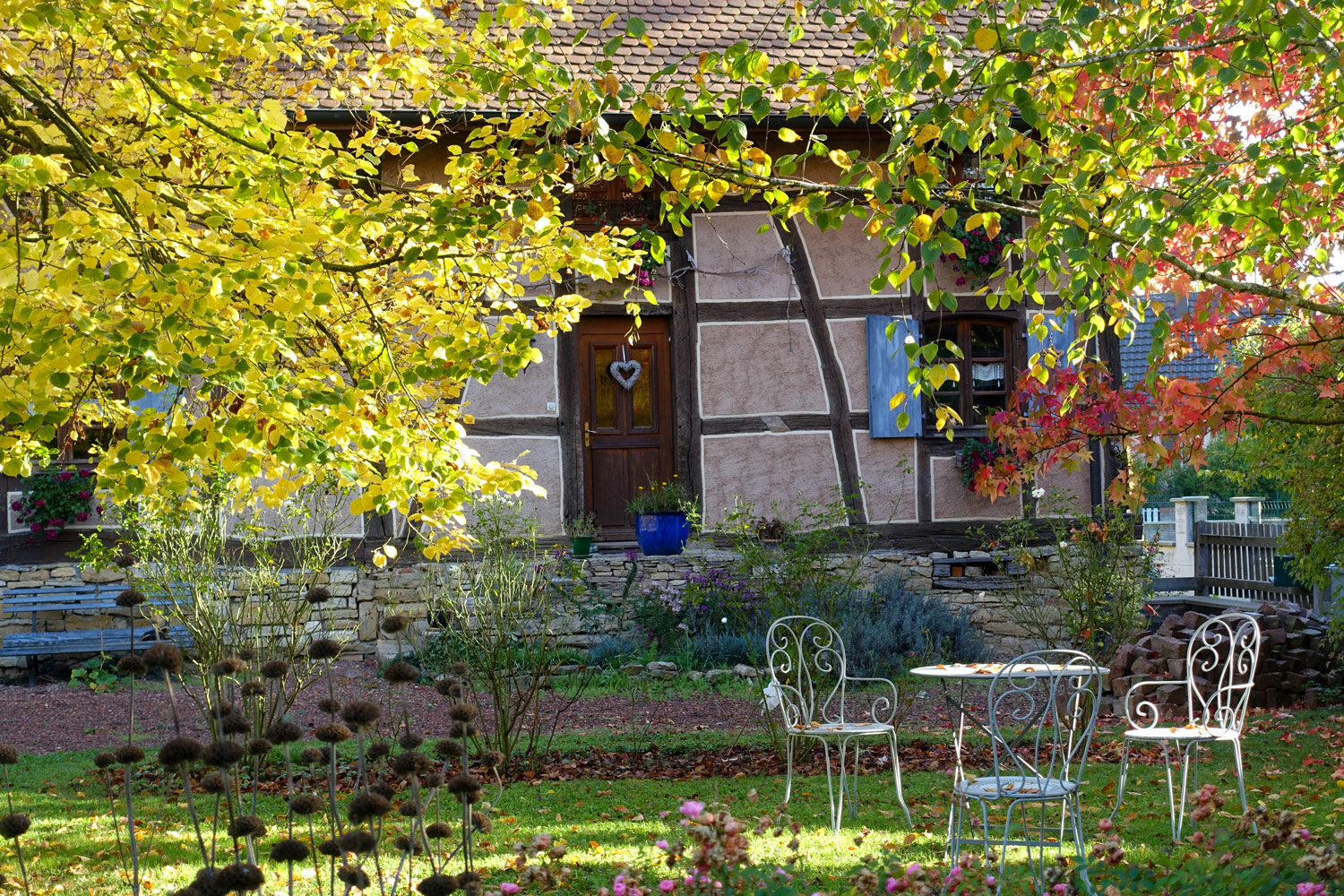
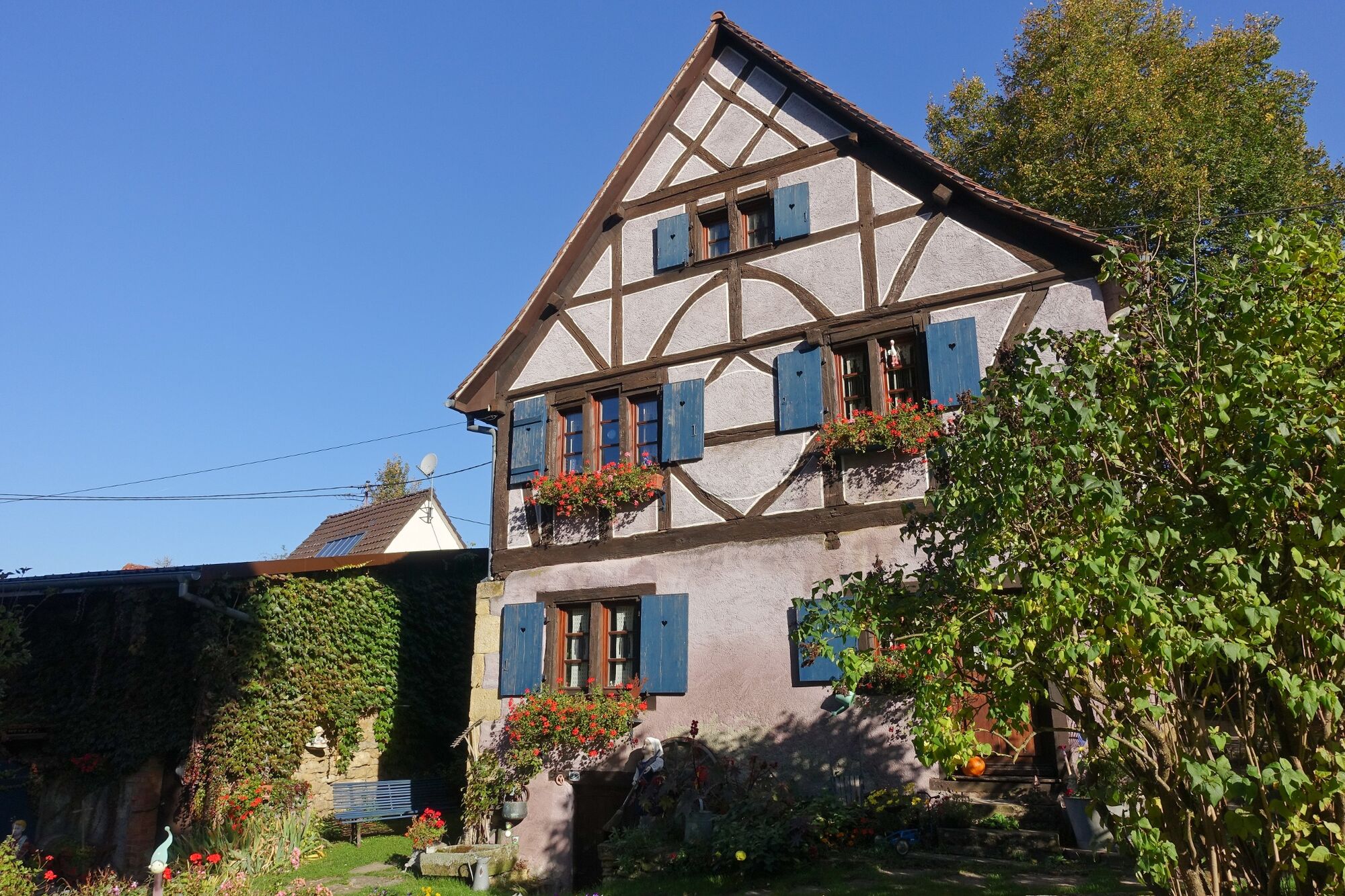
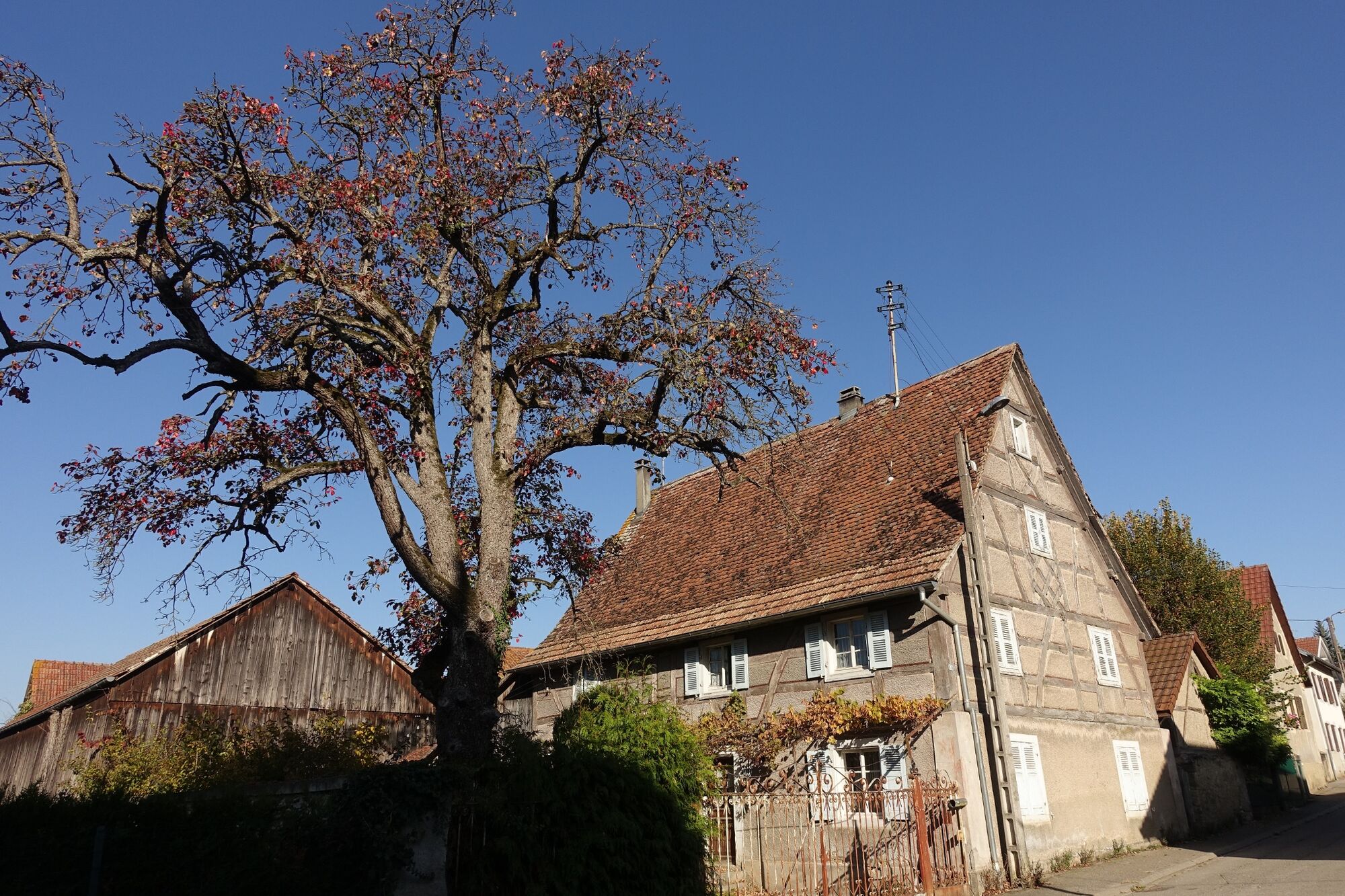
Ce parcours traverse les 4 communes d'Illfurth, Luemschxwiller, Obermorschwiler et Tagolsheim dont certaines présentent un patrimoine architectural préservé
et de magnifiques paysages et points de vue. Le circuit peut se scinder en deux boucles plus courtes en débutant à Luemschwiller.
- Vaikeus
-
helppo
- Arviointi
-
- Reitti
-
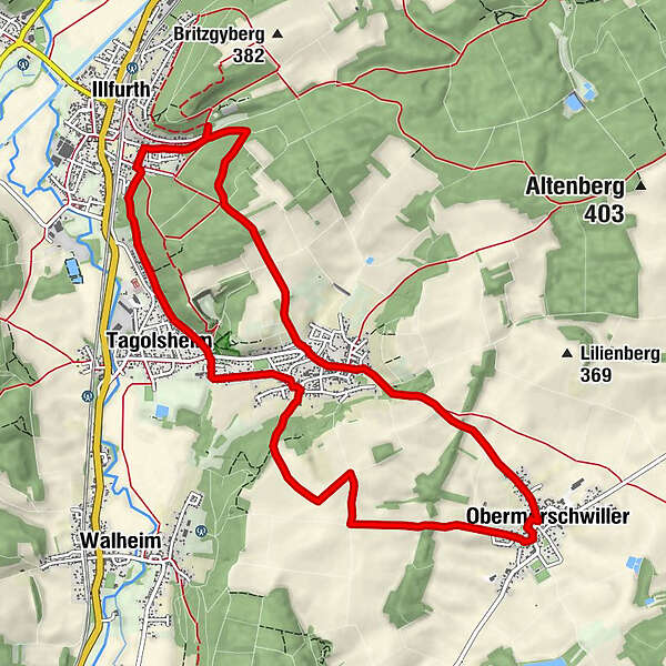
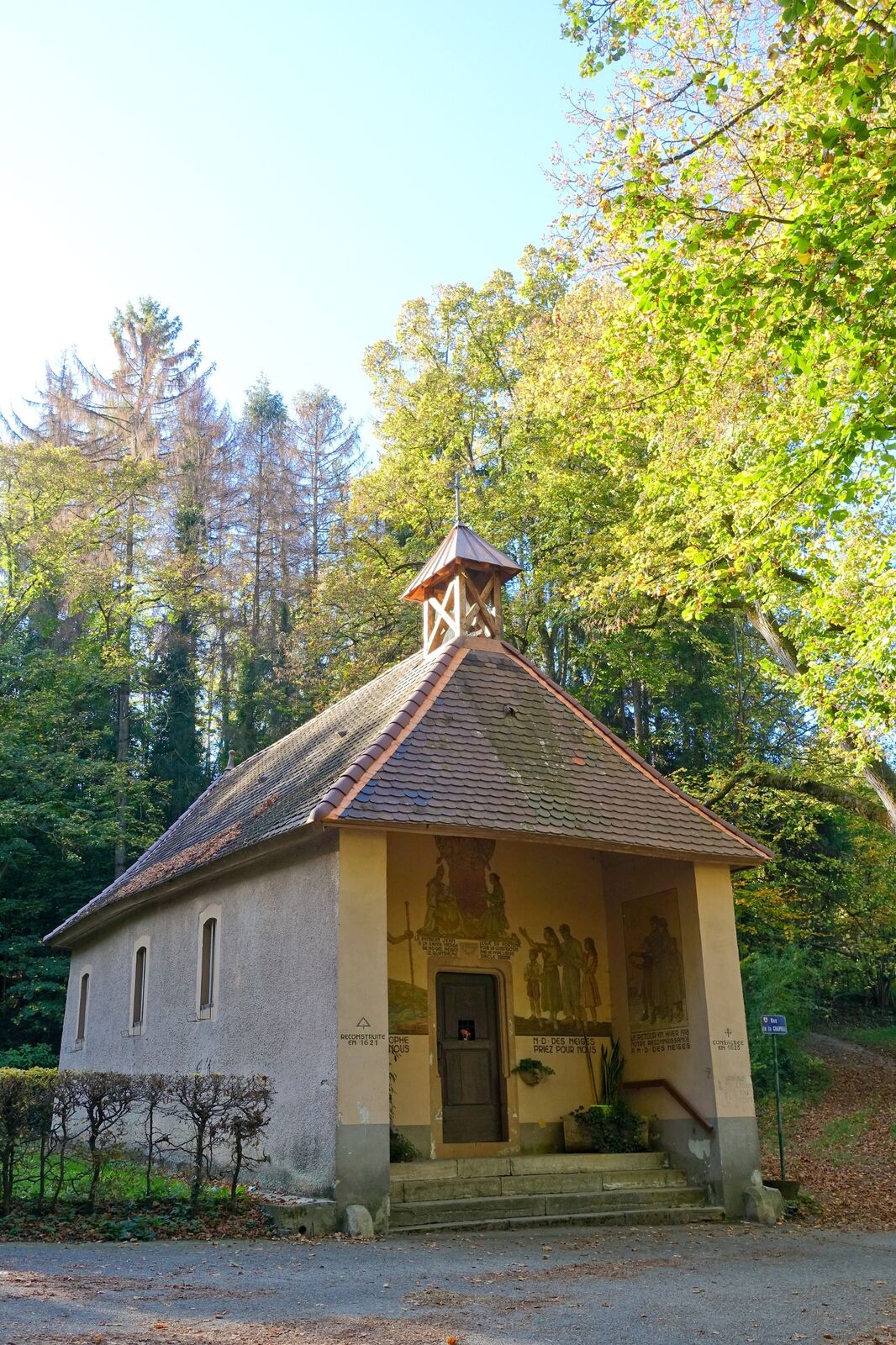
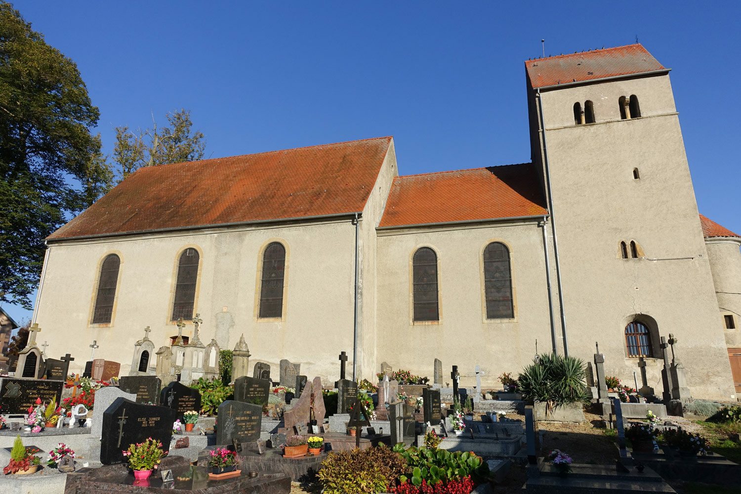
Auf den Illfurtherweg1,9 kmLümschweiler2,7 kmChapelle Notre-Dame-des-Neiges3,0 kmObermorschweiler4,7 kmÉglise Saint-Sébastien4,9 kmAuf Wannenholz5,9 kmWeilerberg7,2 kmLümschweiler8,2 kmTagolsheim9,3 kmÉglise Saint-Léger9,4 kmNaegelberg10,2 kmGeseng11,1 kmIllfurth11,1 kmLoettelen11,4 km
- Paras kausi
-
tammihelmimaalishuhtitoukokesäheinäelosyyslokamarrasjoulu
- Korkein kohta
- 391 m
- Kohde
-
A Illfurth, rejoindre le bout de la rue Saint-Brice et du chemin des Vignerons.
- Korkeusprofiili
-
 © outdooractive.com
-

-
KirjoittajaKiertue d'Illfurth à Obermorschwiller käyttää outdooractive.com toimitettu.
GPS Downloads


Yleistä tietoa
Virvokepysäkki
Kulttuuri/Historiallinen
Flora
Lupaava
Lisää retkiä alueilla
-
Kanton Jura
1148
-
Sundgau
351
-
Mulhouse / Mülhausen
52