
- Lyhyt kuvaus
-
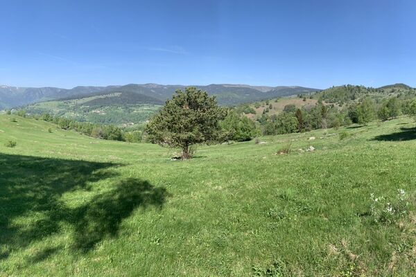
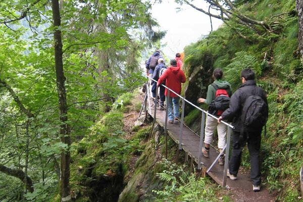
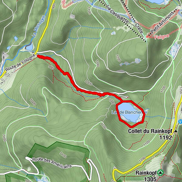
Discover a lake of glacial origin dammed in 1959 to generate electricity. A course that combines the beauty of the landscapes and learning around the power of water. Access road to Lake Blanchemer closed in winter.
- Vaikeus
-
tapa
- Arviointi
-
- Paras kausi
-
tammihelmimaalishuhtitoukokesäheinäelosyyslokamarrasjoulu
- Korkein kohta
- 1.009 m
- Kohde
-
La Bresse
- Korkeusprofiili
-
 © outdooractive.com
-

-
KirjoittajaKiertue Family outing at Lac de Blanchemer käyttää outdooractive.com toimitettu.
GPS Downloads


Yleistä tietoa
Parantava ilmasto
Flora
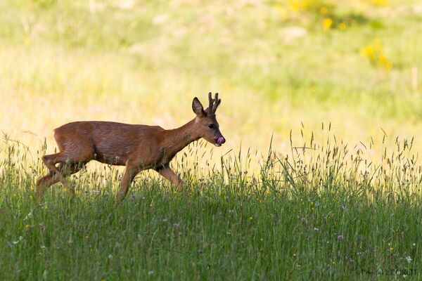
Fauna
Lupaava
Lisää retkiä alueilla
-
Haut-Rhin
1426
-
Gérardmer Hautes Vosges
801