© Club Vosgien - André Patris

© Club Vosgien - André Patris

© Club Vosgien - André Patris

© Club Vosgien - André Patris

© Club Vosgien - André Patris

© Club Vosgien - André Patris

© Club Vosgien - André Patris

© Club Vosgien - André Patris
- Lyhyt kuvaus
-
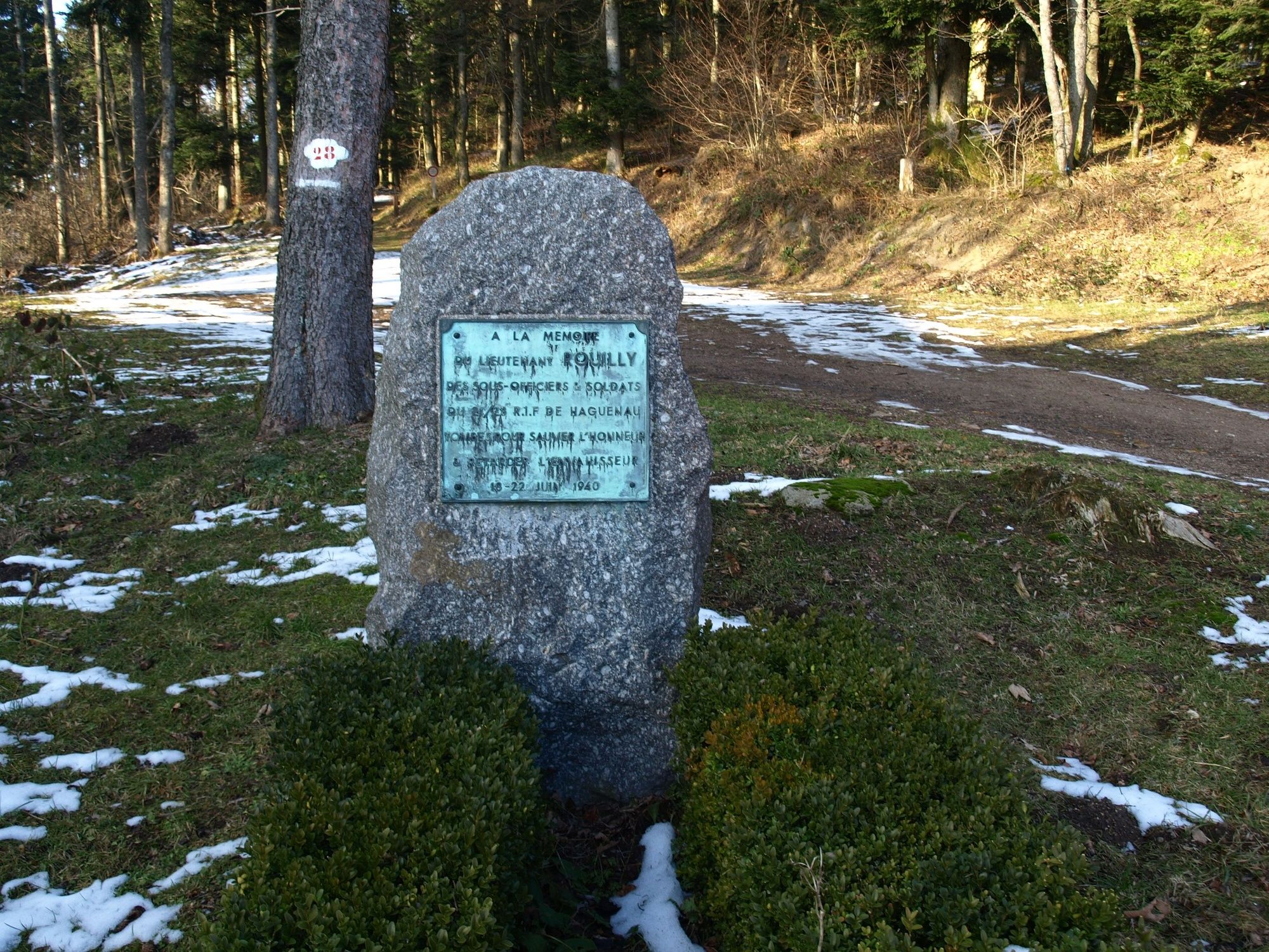
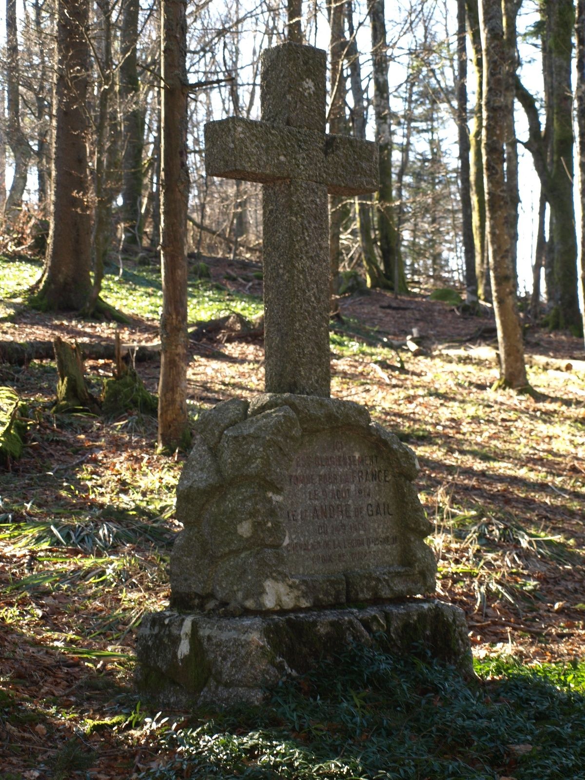
Wanderung ohne besondere Schwierigkeiten, mit wechselnd Überresten des Ersten Weltkriegs und schöne Aussichtspunkte sowohl auf den elsässischen Teil des Massivs als auf die Vogesen.
- Reitti
-
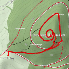
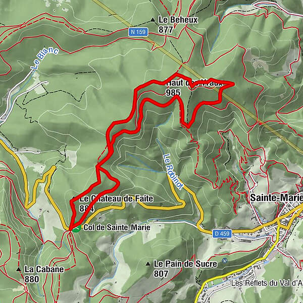
Hochfirst (884 m)0,5 kmGeißfelsen0,8 kmHaut des Yraux (985 m)3,5 kmLa Pierre de Lusse5,8 kmRefuge Robinot6,8 km
- Paras kausi
-
tammihelmimaalishuhtitoukokesäheinäelosyyslokamarrasjoulu
- Korkein kohta
- 988 m
- Kohde
-
Col de Sainte Marie aux Mines
- Korkeusprofiili
-
 © outdooractive.com


-
-
KirjoittajaKiertue Vom Col de Ste Marie zum Grab De Gail käyttää outdooractive.com toimitettu.
GPS Downloads


Yleistä tietoa
Parantava ilmasto
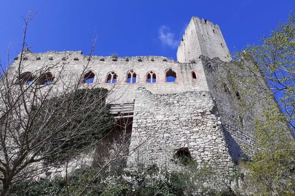
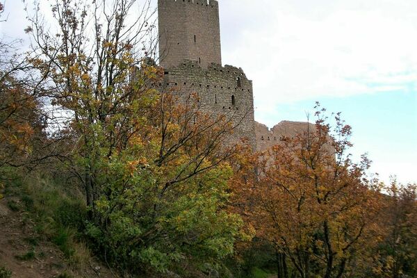
Kulttuuri/Historiallinen
Flora
Lupaava
Lisää retkiä alueilla
-
Haut-Rhin
1424
-
Val d'Argent
554