© Unbekannt

© Unbekannt

© Unbekannt

© Unbekannt

© Unbekannt

© Graubünden Ferien - normierte Touren - Romedi Conradin

© Graubünden Ferien - normierte Touren - Romedi Conradin

© Graubünden Ferien - normierte Touren - Romedi Conradin

© Graubünden Ferien - normierte Touren - Romedi Conradin
- Lyhyt kuvaus
-
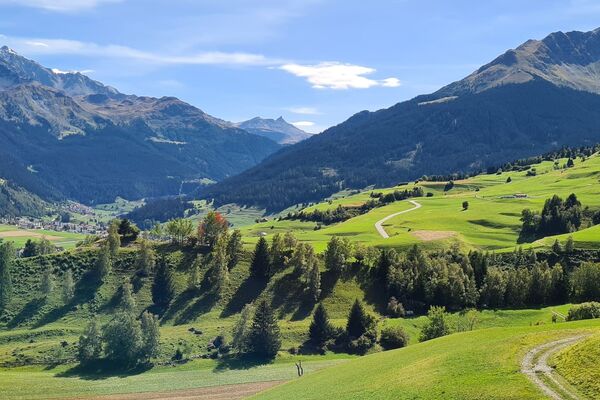
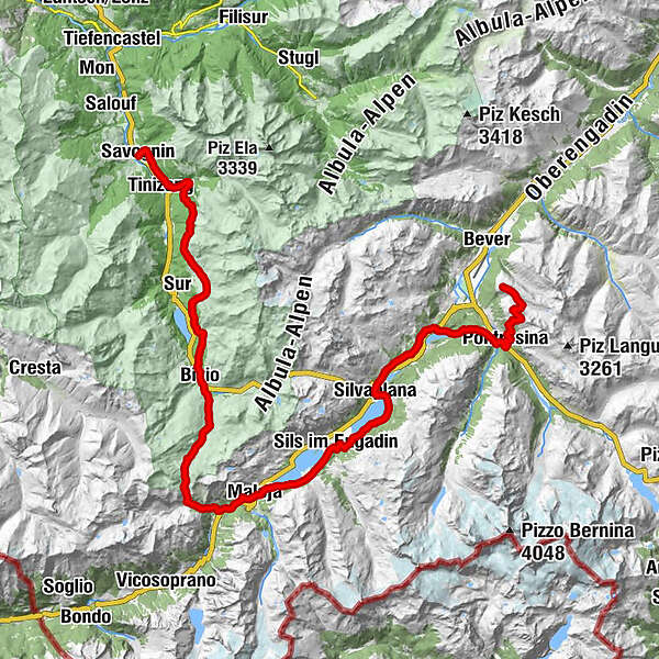
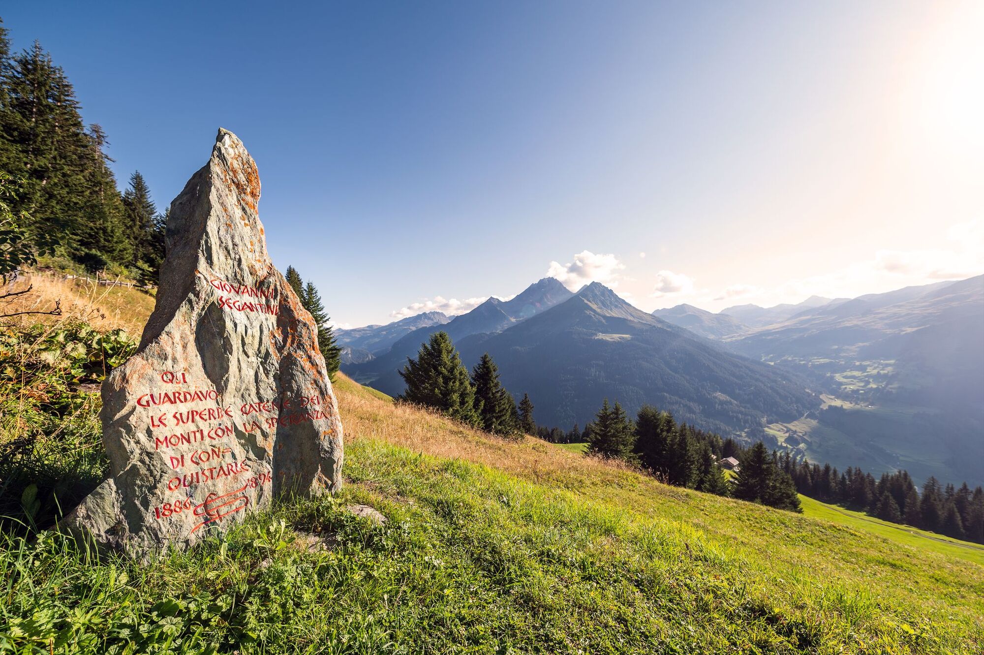
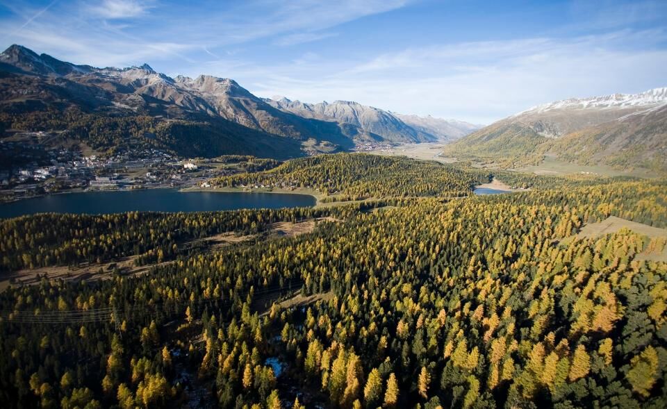
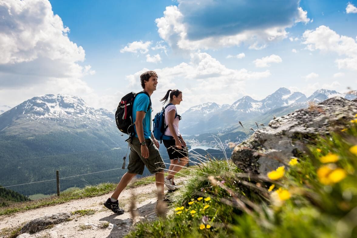
The Senda Segantini is a unique hiking route through the incomparable Engadin and Sursetter mountain landscape. It follows the footsteps of Italian painter Giovanni Segantini (1858 -1899), the great master of combining realism with symbolism.
- Vaikeus
-
tapa
- Arviointi
-
- Reitti
-
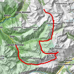
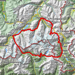
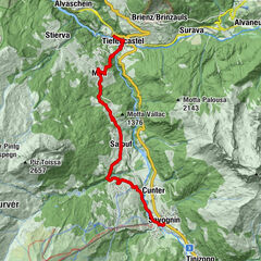
Savognin (1.207 m)Tinzen (1.232 m)2,9 kmLa Ruigna11,2 kmLais11,5 kmCuorts (1.963 m)12,0 kmCotti Agricultura12,4 kmTgalucas12,5 kmTga d'Meir13,3 kmTigias13,5 kmHotel Piz Platta13,5 kmSalategnas14,2 kmPardeala17,1 kmAlp d'Iert17,4 kmAlp Natons (1.963 m)17,9 kmBaselgia San Giagl20,7 kmBivio (1.769 m)21,0 kmGravella21,0 kmReformierte Kirche Bivio21,1 kmCurtinfess21,4 kmTgavretga22,3 kmNagrign22,9 kmPrevostign23,1 kmFumia23,4 kmFranca's Beizli - Besenbeiz23,4 kmSeptimer Pass (2.310 m)27,8 kmSeptimerhütte28,2 kmCasaccia (1.458 m)33,4 kmCavril (1.551 m)34,9 kmMaloja (1.809 m)36,5 kmMaloja Posta36,5 kmSchweizerhaus36,5 kmKirche St. Peter und Paul36,6 kmLa Motta37,0 kmCresta37,2 kmPlan Cuncheta38,0 kmIsola (See) (1.810 m)39,8 kmIsola (1.811 m)40,5 kmIls Barchiröls42,1 kmSils/Segl Maria Barchiröls (1.802 m)42,2 kmPizs42,8 kmSpuonda Laret42,8 kmSuot Crastas43,0 kmSils im Engadin (1.803 m)43,0 kmAlpenrose43,0 kmReformierte Kirche43,2 kmBar Cetto43,7 kmCrastas Dadour43,8 kmPas-chs43,9 kmCrastas44,1 kmCrastas Dadains44,2 kmSurlej49,1 kmSilvaplana (1.815 m)50,2 kmClavanövs50,7 kmSt. Rochus52,7 kmRestaurant Talvo by Dalsass52,8 kmPrimula52,8 kmChampfèr (1.825 m)52,9 kmSankt Moritz Bad55,1 kmSankt Moritz (1.822 m)56,2 kmSt. Moritz (1.775 m)56,8 kmLandgasthof Meierei58,3 kmHotel Restaurant Stazersee59,2 kmSan Spiert62,9 kmPontresina (1.805 m)62,9 kmSegantinihütte68,8 kmSchafberg (2.647 m)69,2 kmMargun70,9 kmMuottas Muragl (2.453 m)72,2 km
- Paras kausi
-
tammihelmimaalishuhtitoukokesäheinäelosyyslokamarrasjoulu
- Korkein kohta
- 2.728 m
- Kohde
-
Muottas Muragl
- Korkeusprofiili
-
 © outdooractive.com
- Kirjoittaja
-
Kiertue 25 Senda Segantini käyttää outdooractive.com toimitettu.
GPS Downloads


Yleistä tietoa
Virvokepysäkki
Flora
Lupaava
Lisää retkiä alueilla
-
Veltlin / Valtellina
853
-
Engadin St. Moritz
782
-
Silvaplana
338