© Weisse Arena Gruppe

© Graubünden
© Weisse Arena Gruppe

© Weisse Arena Gruppe
© Weisse Arena Gruppe
© Weisse Arena Gruppe
© Weisse Arena Gruppe

- Lyhyt kuvaus
-
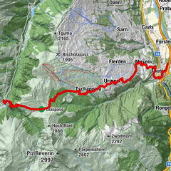
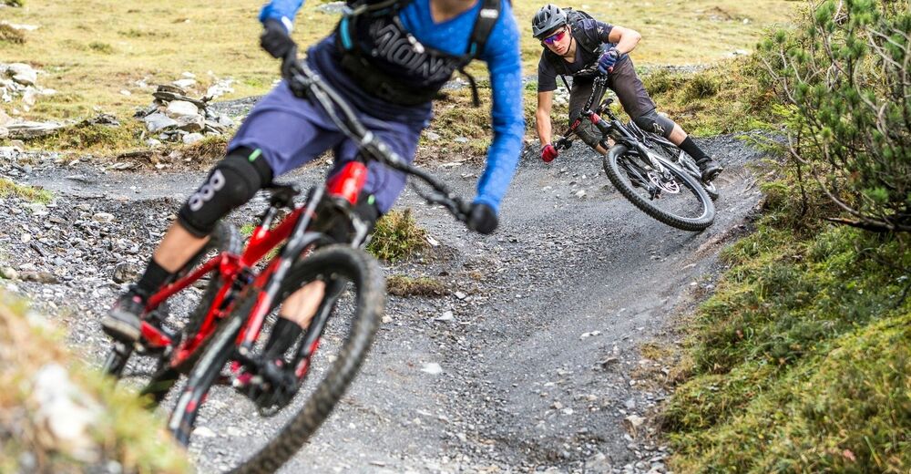
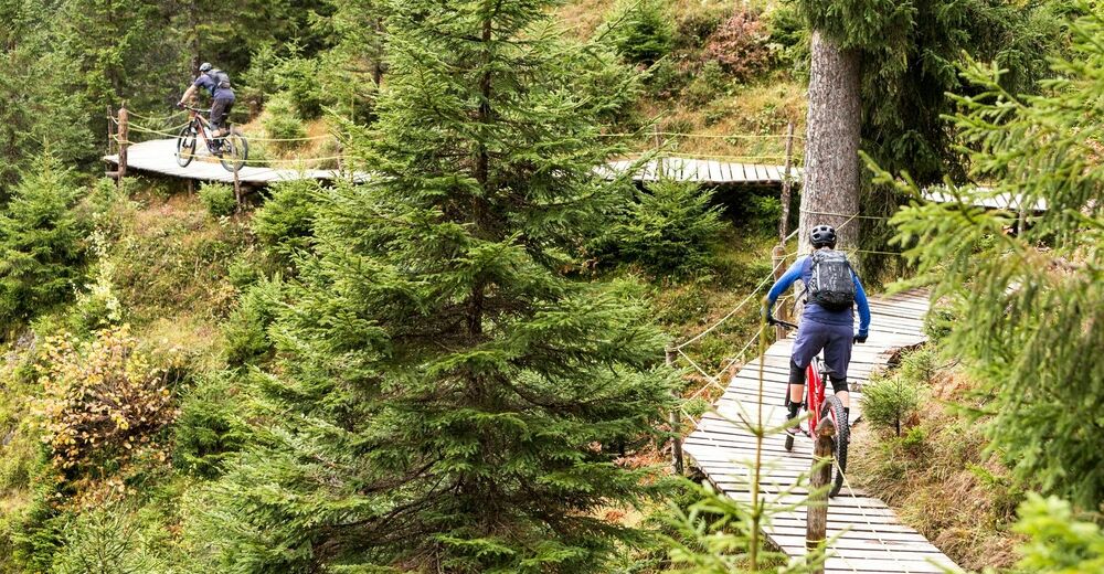
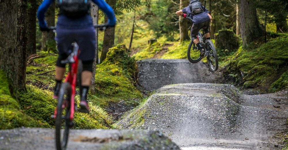
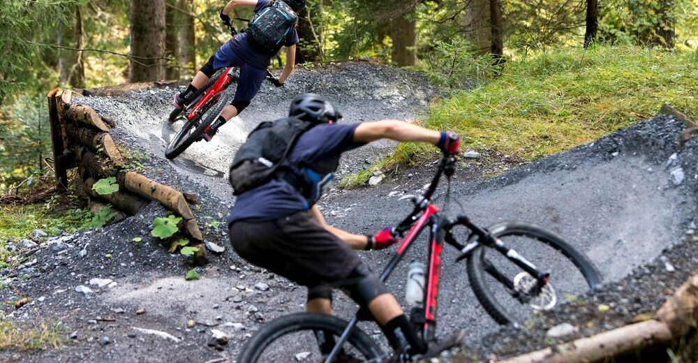
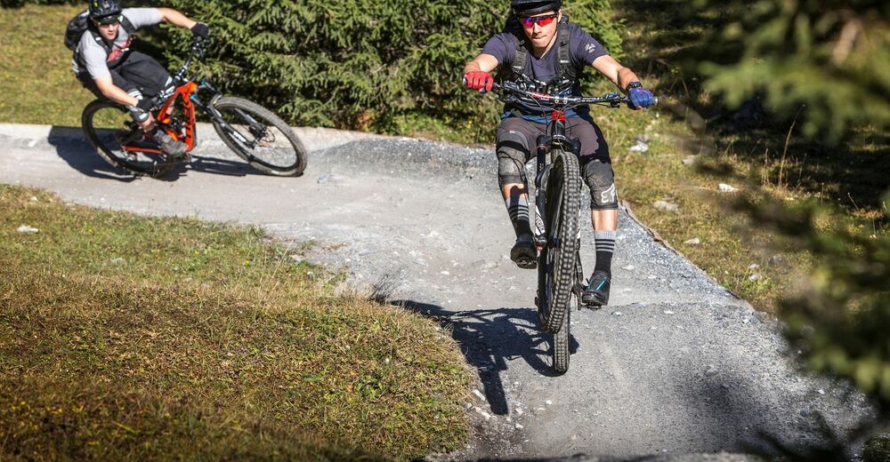
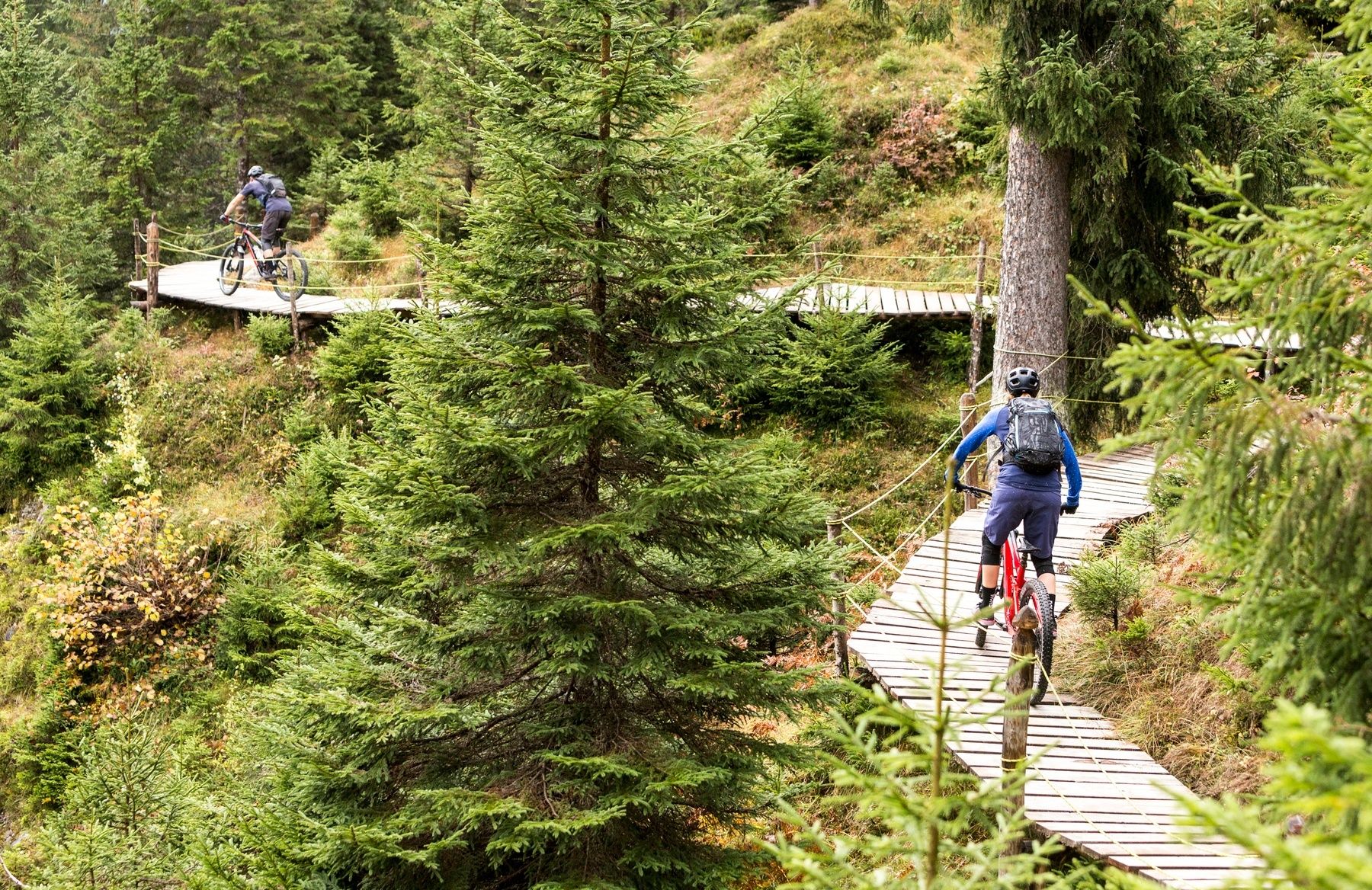
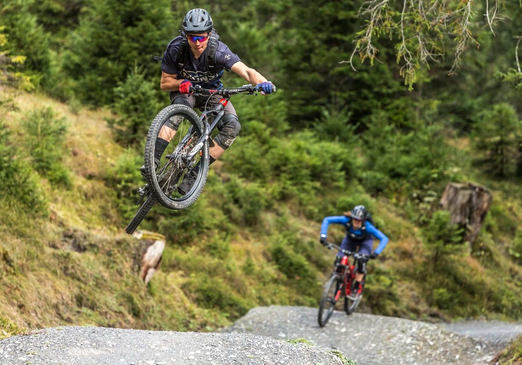
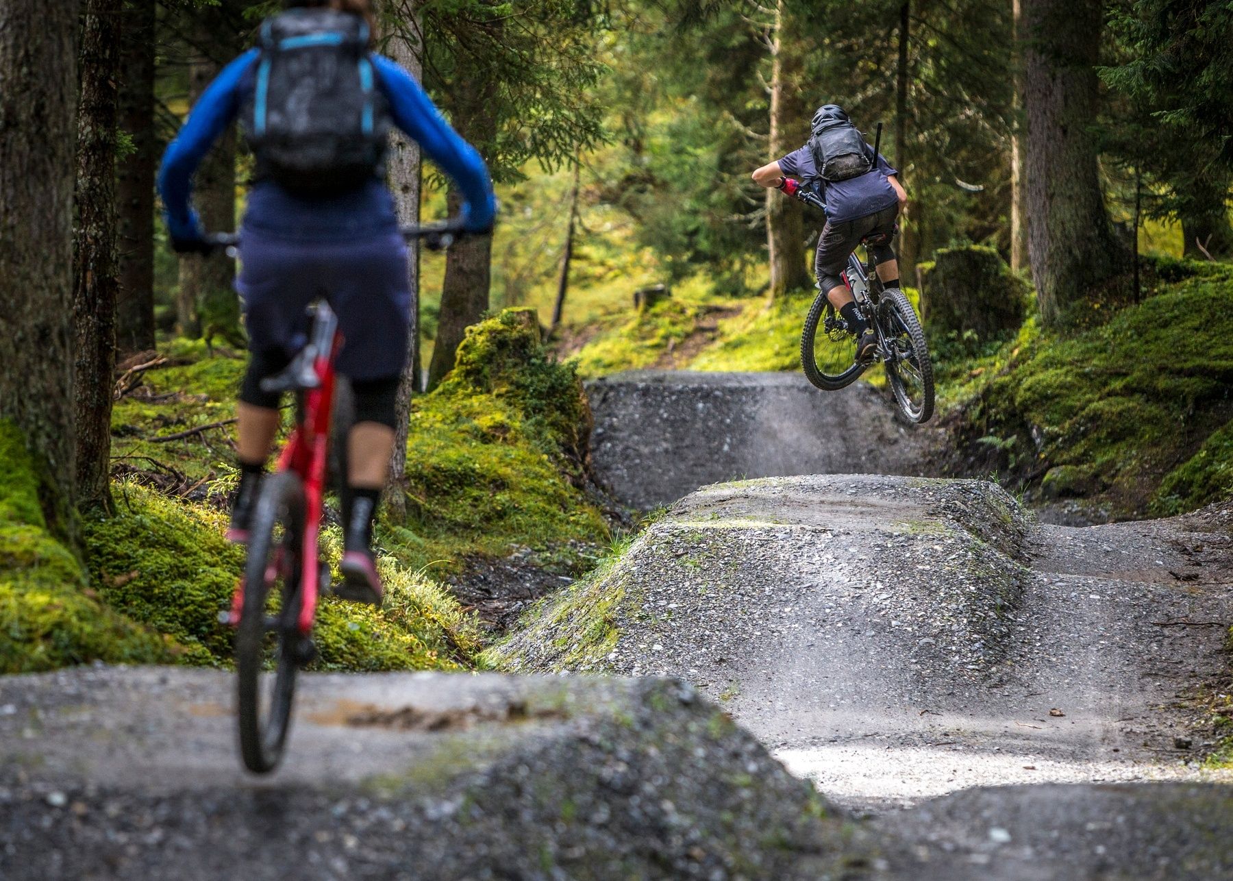
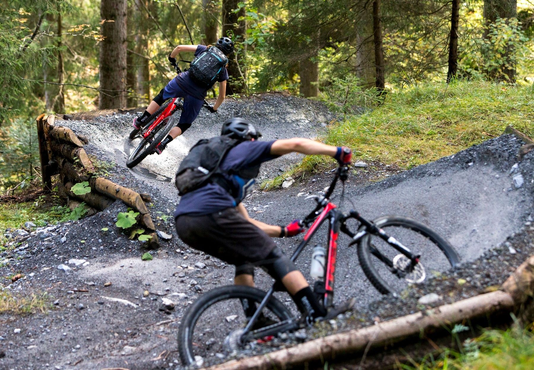
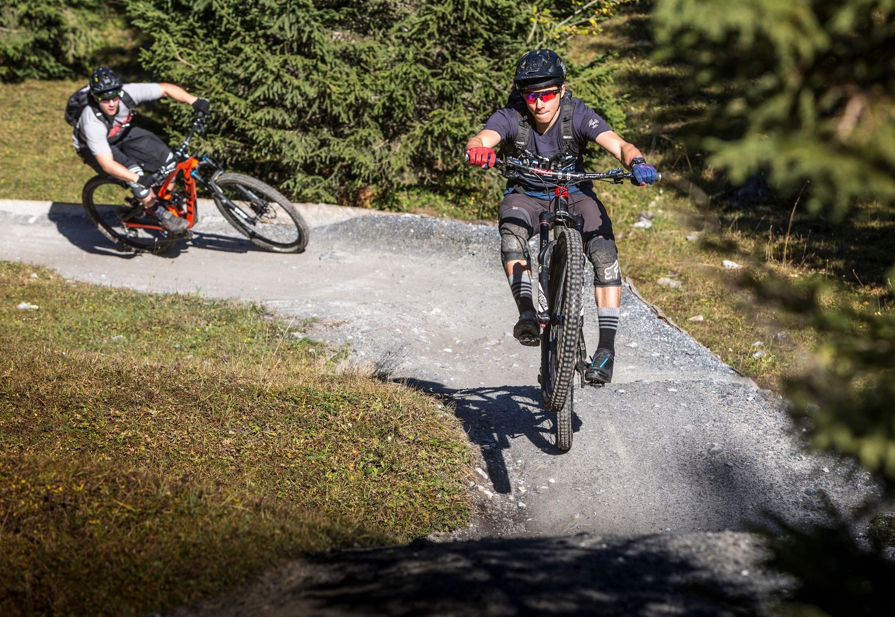
The Runca Trail is the classic single trail starting in Flims. The route becomes particularly interesting when you extend it from Flims to Tamins and incorporate highlights such as Lake Cauma or the Conn viewing platform into the route.
- Vaikeus
-
tapa
- Arviointi
-
- Reitti
-
Ustria Naraus0,0 kmPunt Desch1,5 kmRunca Höhe5,8 kmFlims Waldhaus8,3 kmCaumasee9,4 kmPlaunca dil Conn11,0 kmPlaunca dall` Isla11,3 kmAusflugsrestaurant Conn11,5 kmDigg16,8 kmTrin (876 m)17,5 kmFalarauscha19,4 kmPlatta19,5 kmMasals20,1 kmCrestis20,7 kmTamins21,6 km
- Paras kausi
-
tammihelmimaalishuhtitoukokesäheinäelosyyslokamarrasjoulu
- Korkein kohta
- 1.839 m
- Kohde
-
Tamins
- Korkeusprofiili
-
 © outdooractive.com


-

-
KirjoittajaKiertue Trek Runcatrail - Caumasee - Tamins käyttää outdooractive.com toimitettu.
GPS Downloads


Lisää retkiä alueilla
-
Heidiland
336
-
Flims Laax Falera
223
-
Trin
116