© Surselva Tourismus AG - Cordula Seiler

© Surselva Tourismus AG - Cordula Seiler

© Surselva Tourismus AG - Cordula Seiler

© Surselva Tourismus AG - Cordula Seiler
- Lyhyt kuvaus
-
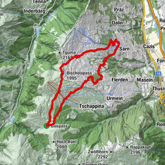
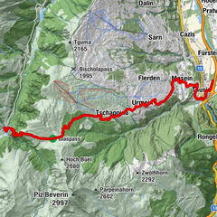
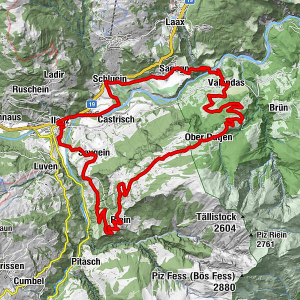
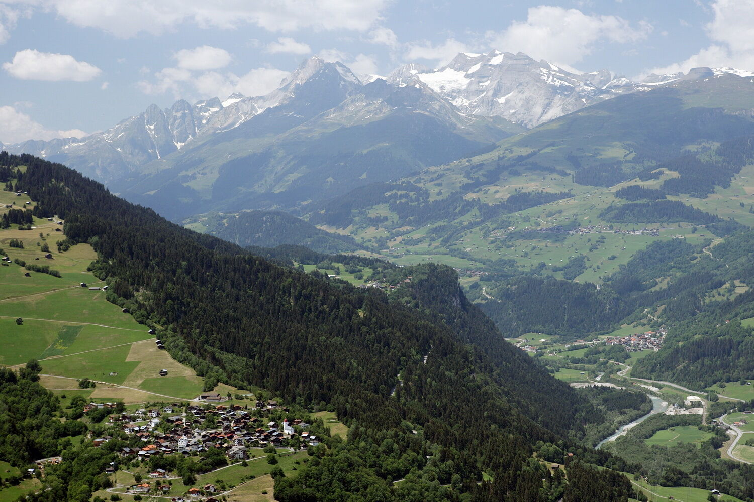
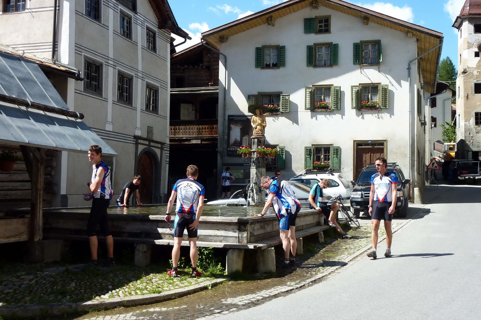
Longish, varied circular tour around the upper part of the Rhine Gorge, starting and finishing in Ilanz, the first town on the emerging Rhine.
- Vaikeus
-
tapa
- Arviointi
-
- Reitti
-
Ilanz (698 m)Ilanz (702 m)0,1 kmCasanova1,0 kmKästris (722 m)2,0 kmSchluein3,6 kmUstria Sil Plaz5,8 kmSagens (779 m)6,2 kmStiva Grischuna6,3 kmValendas-Sagogn (669 m)8,3 kmValendas9,4 kmGasthaus am Brunnen9,5 kmDorfbärg12,8 kmUnder Dutjen14,5 kmUf der Halda15,2 kmOber Dutjen16,6 kmLa Cresta17,5 kmDarmasal20,2 kmDarpinaus21,1 kmRiein (1.270 m)22,7 kmS. Nazarius22,7 kmQuadra23,1 kmGalogn23,9 kmPrauperver27,8 kmWallfahrtskapelle Sontga Fossa28,2 kmSeewis im Oberland (861 m)28,6 kmKirche Sevgein28,6 kmIlanz (702 m)30,8 km
- Korkein kohta
- 1.597 m
- Kohde
-
Ilanz Bahnhof
- Korkeusprofiili
-
 © outdooractive.com

- Kirjoittaja
-
Kiertue 259 Cuolm Sura käyttää outdooractive.com toimitettu.
GPS Downloads


Lisää retkiä alueilla
-
Glarnerland
341
-
Ilanz / Glion
188
-
Castrisch
122