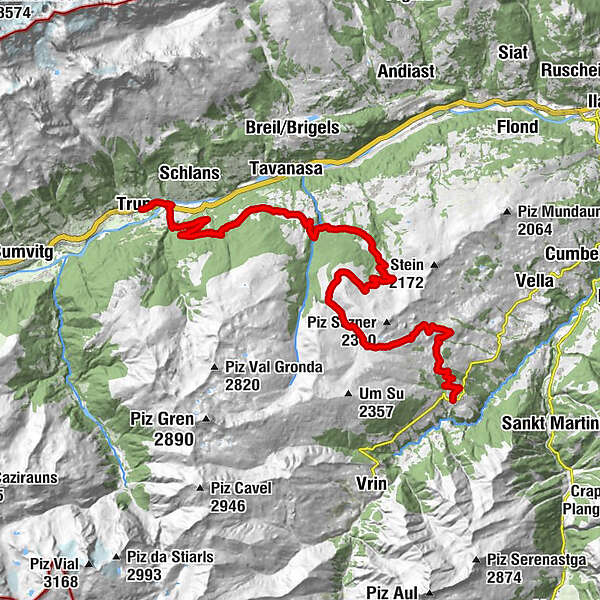
90.11 Graubünden Bike Etappe 11 Lumbrein - Trun

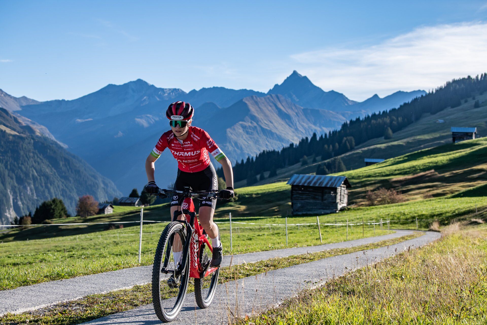
Mountainbike

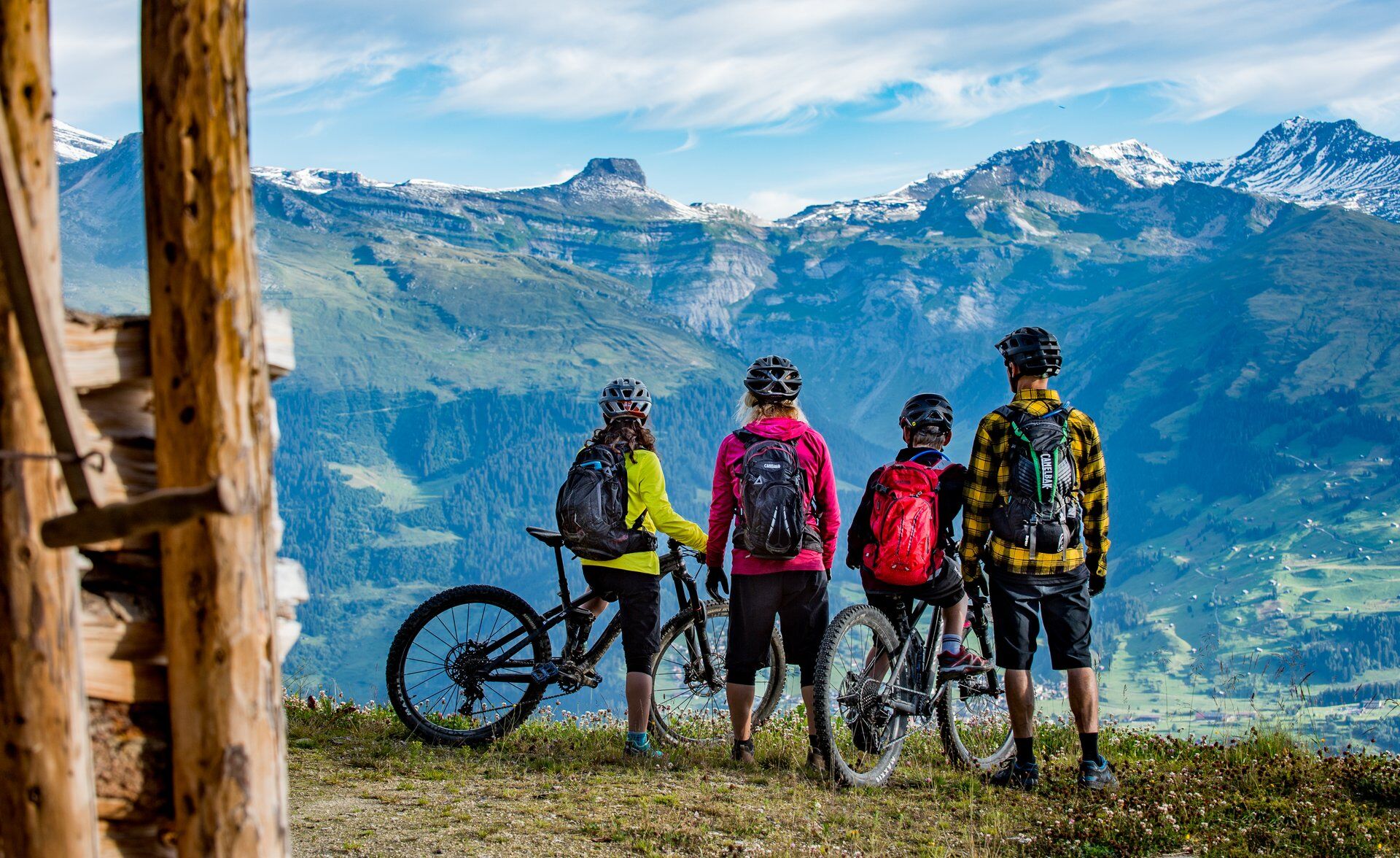
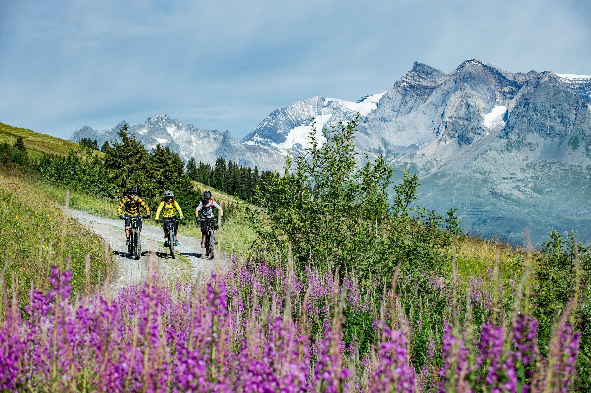
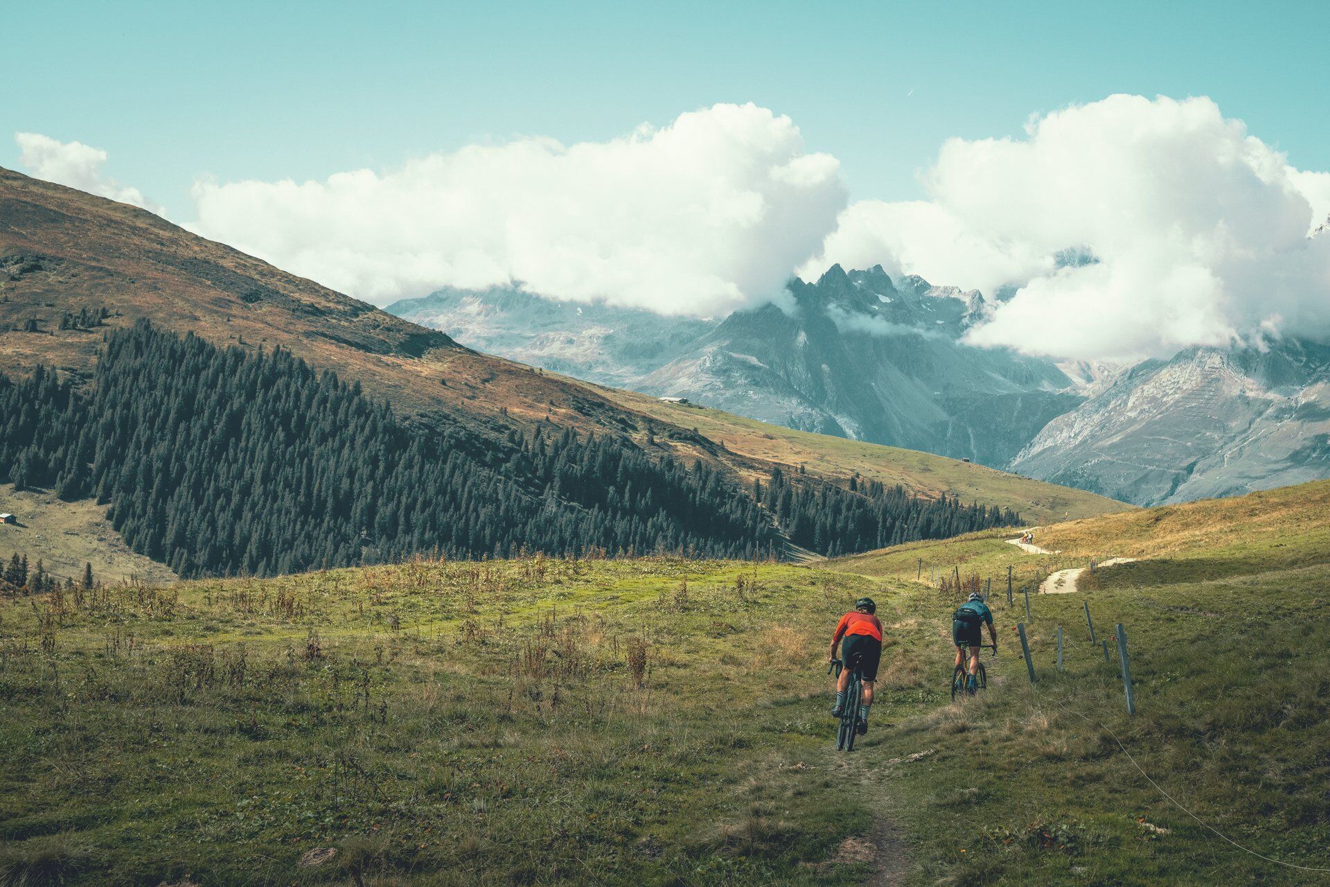
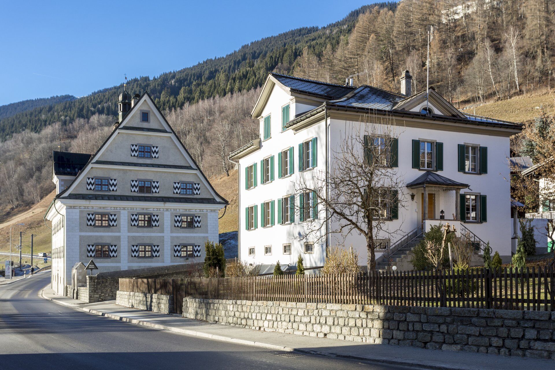
© Surselva Tourismus AG - Markus Isenmann

© Surselva Tourismus AG - Markus Isenmann

© Surselva Tourismus AG - Markus Isenmann

© Surselva Tourismus AG - Markus Isenmann

© Surselva Tourismus AG - Markus Isenmann

© Surselva Tourismus AG - Markus Isenmann

© Surselva Tourismus AG - Markus Isenmann

© Surselva Tourismus AG - Markus Isenmann

© Surselva Tourismus AG - Markus Isenmann
- Lyhyt kuvaus
-
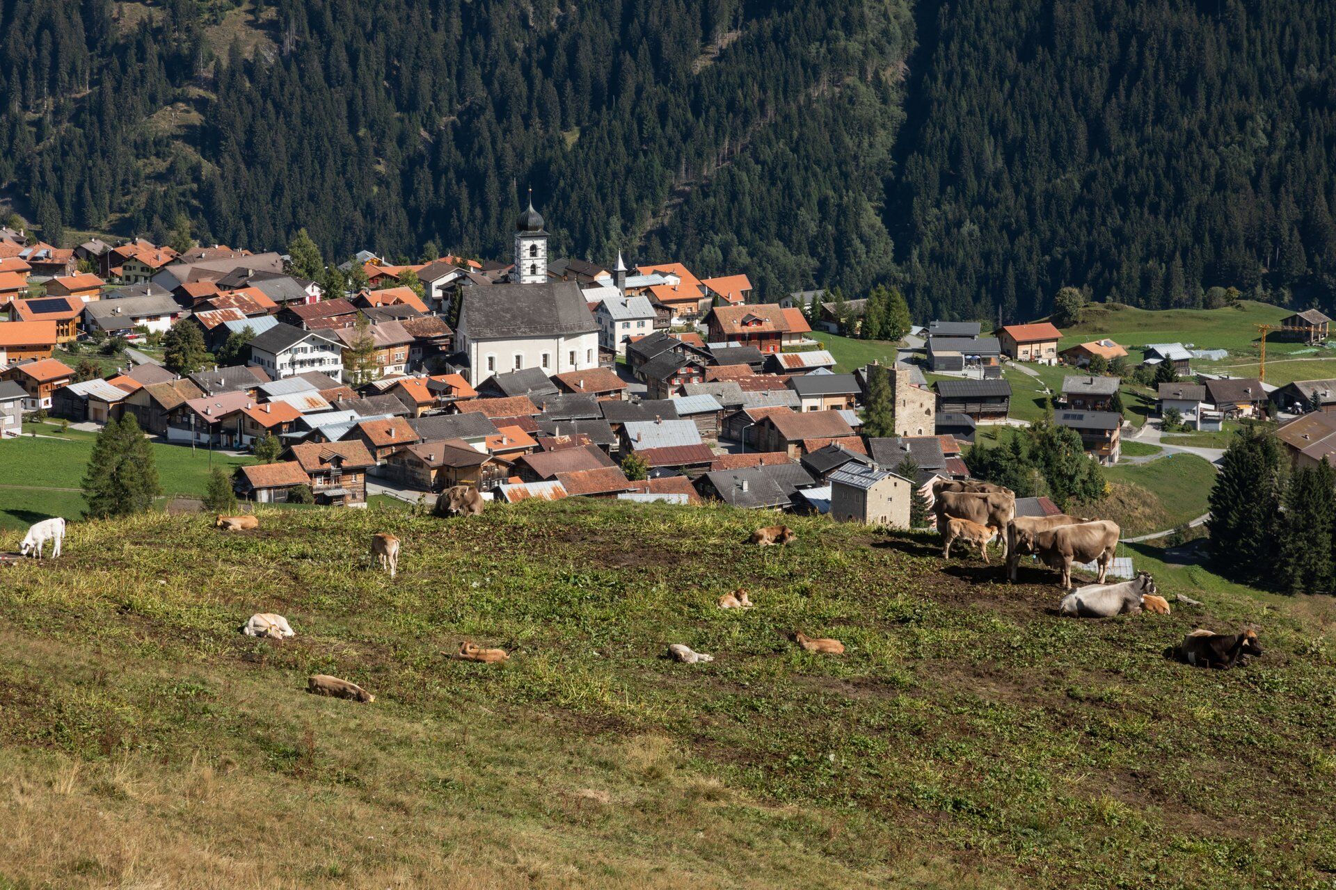
The route winds leisurely up through the typical meadow slopes of the seemingly untouched «Tal des Lichts» (Valley of Light) to the gentle pass into the Surselva. The descent to Trun leads via St. Martin on the sun terrace of Obersaxen.
- Vaikeus
-
tapa
- Arviointi
-
- Reitti
-
Sut VitschFontaunaClavau VintschegnMausSut BaselgiaNossadunaDado Baselgia0,0 kmBuortga0,0 kmFuorn0,0 kmSassegl0,0 kmKatholische Kirche St. Martin0,0 kmSur Baselgia0,1 kmCurtin Grond0,1 kmDual0,1 kmSum Vitg0,1 kmVigela0,1 kmPlaun0,2 kmLas Fueinas0,2 kmLumbrein (1.405 m)0,3 kmRuosna0,3 kmFuomas0,4 kmAlp Sezner6,6 kmAlp Sezner Restaurant6,6 kmAlp Nova8,1 kmAlp Nall9,4 kmAlp Prada10,6 kmLügg13,7 kmWaschchrüt14,5 kmRiti20,0 kmFriggahüs20,8 kmSt. Martin (1.340 m)21,0 kmMirer Conrad21,1 kmZignau28,9 kmKapelle des heiligen Josef30,0 kmTruns (861 m)30,6 km
- Paras kausi
-
tammihelmimaalishuhtitoukokesäheinäelosyyslokamarrasjoulu
- Korkein kohta
- 2.075 m
- Kohde
-
Trun
- Korkeusprofiili
-
 © outdooractive.com
- Kirjoittaja
-
Kiertue 90.11 Graubünden Bike Etappe 11 Lumbrein - Trun käyttää outdooractive.com toimitettu.
GPS Downloads
Ajoreitit
Trial
Yleistä tietoa
Virvokepysäkki
Flora
Lupaava
Lisää retkiä alueilla
-
Glarnerland
341
-
Brigels Waltensburg Andiast
171
-
Giraniga
58