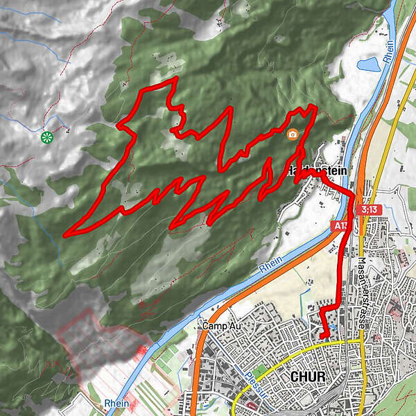
Retkitiedot
24,94km
552 - 1.793m
Distanz
1.292hm
1.281hm
Nousu
03:53h
 
Kesto
Lyhyt kuvaus

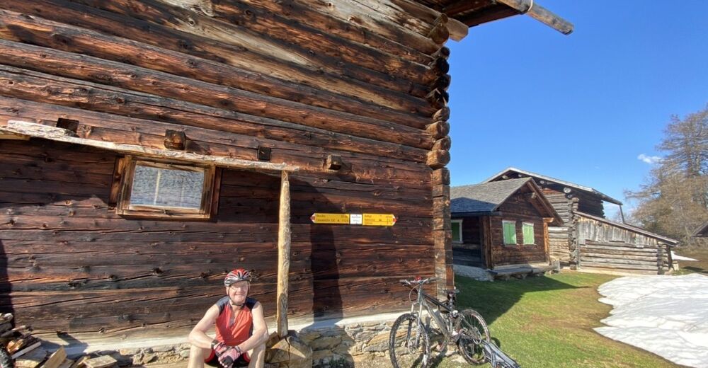
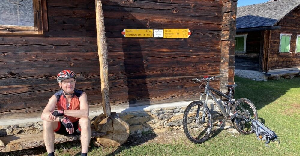
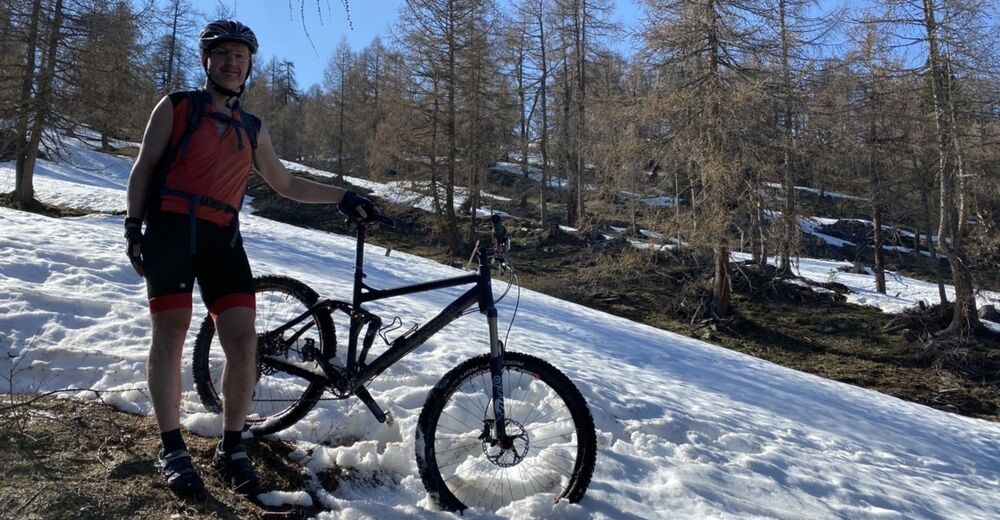
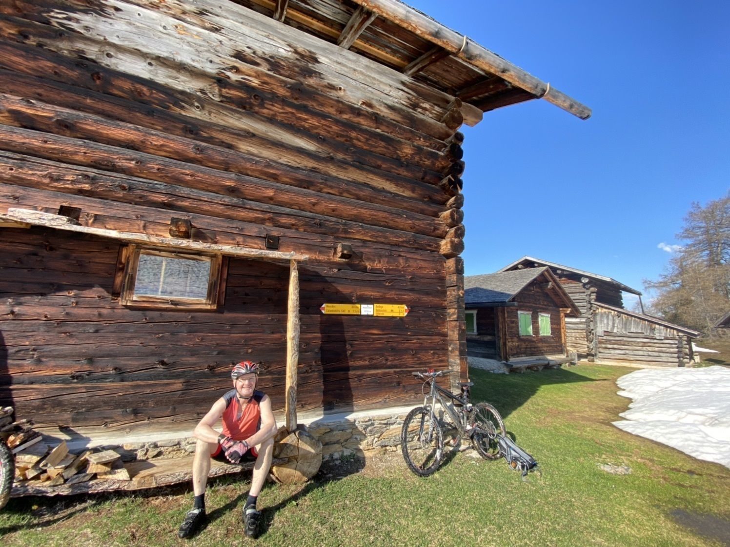
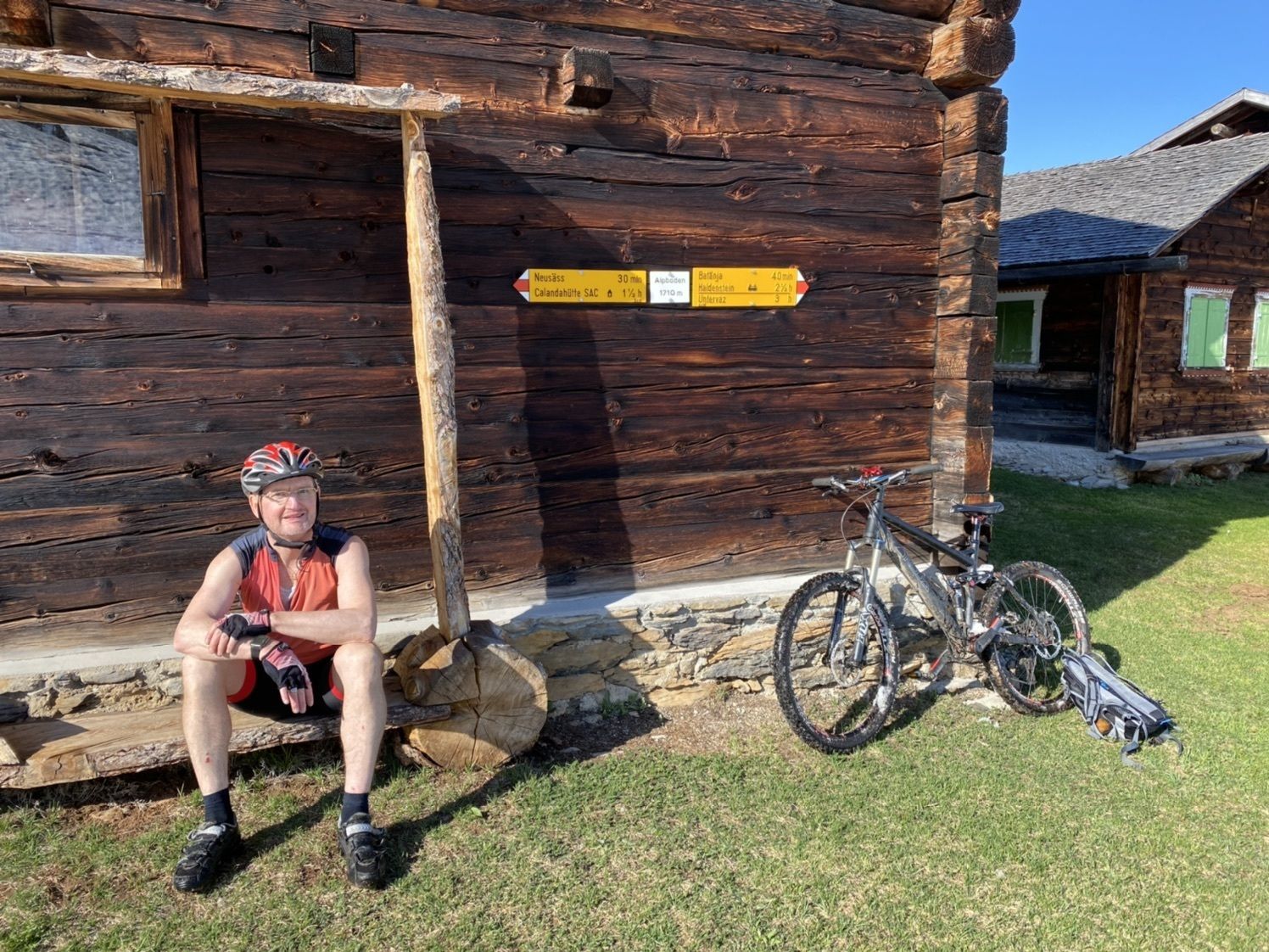
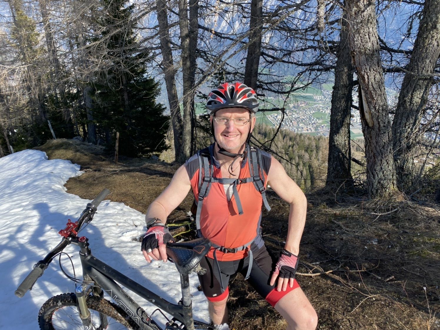
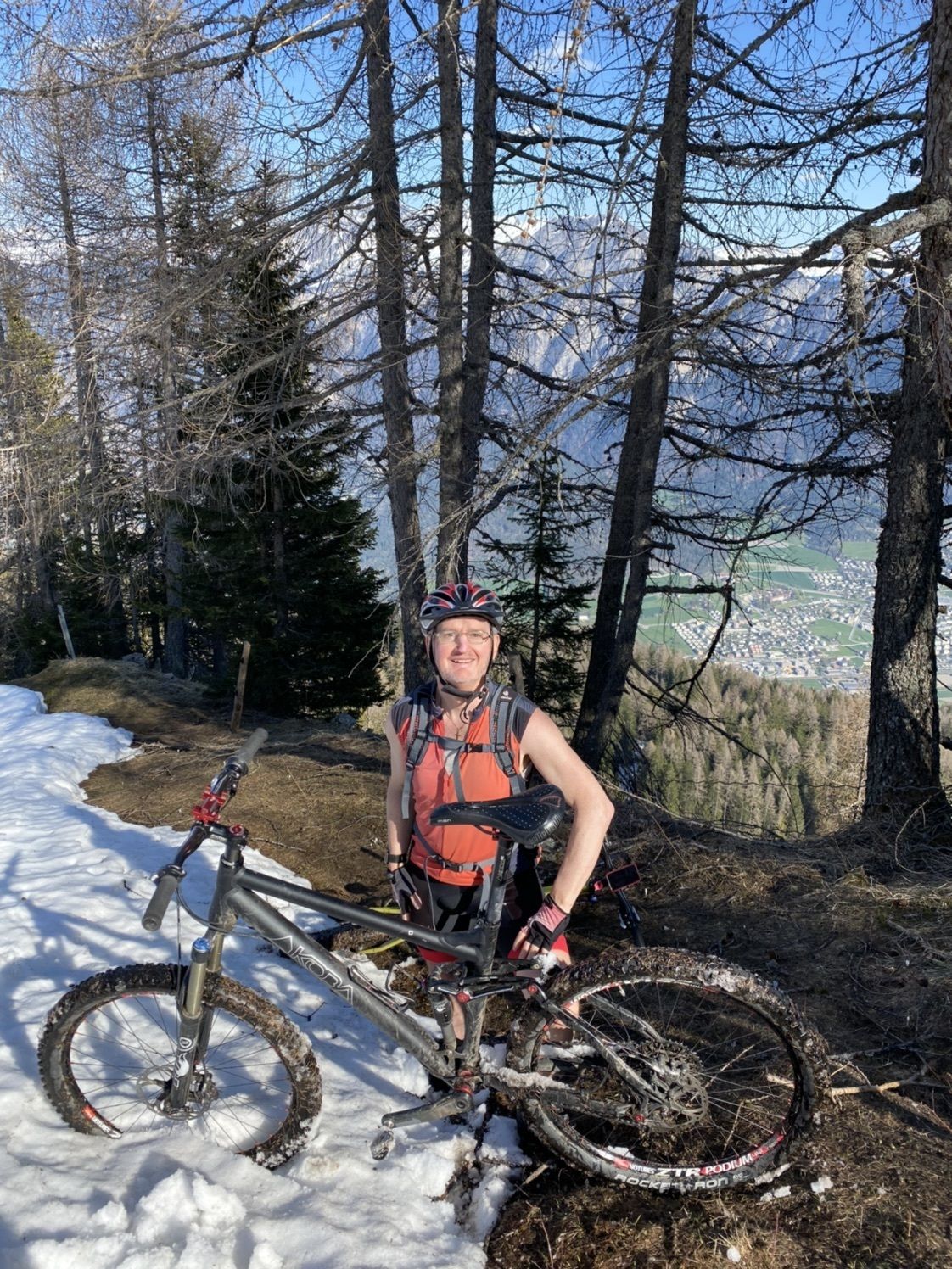
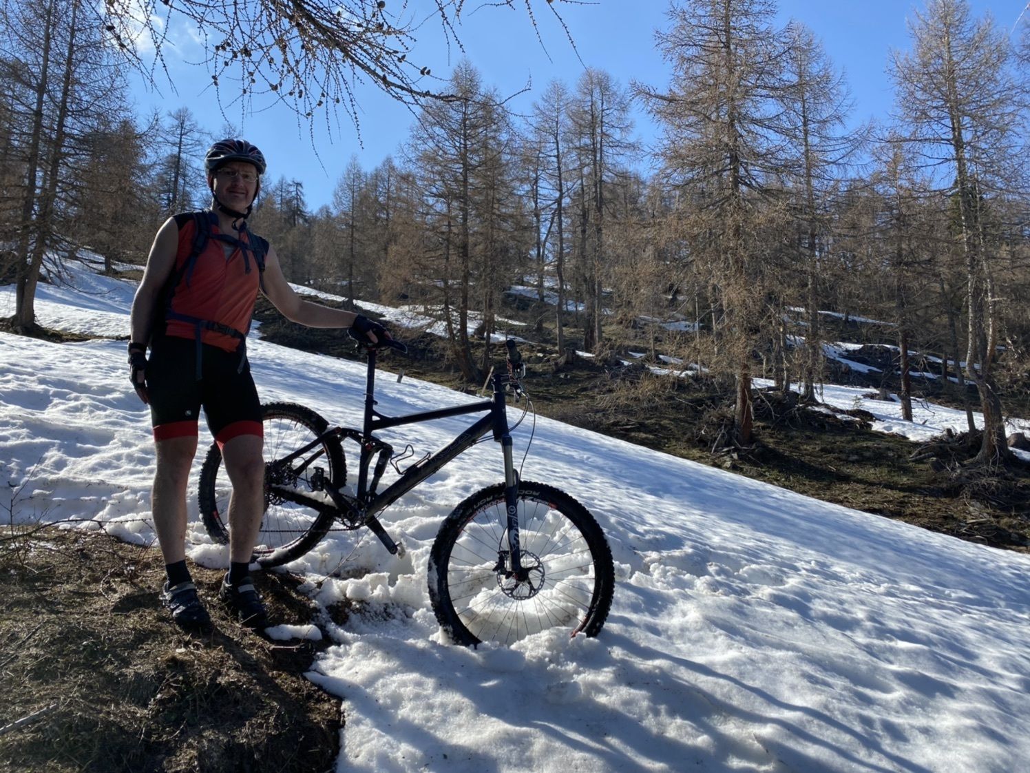
Chur, Haldenstein, Fontanolia

Vaikeus
tapa
Arviointi
Tekniikka
Kunto
Maisema
Elämys
Reitti
Masans
1,4 km
Restaurant Bahnhöfli
2,1 km
Calanda
2,7 km
Haldenstein (566 m)
2,7 km
Reformierte Kirche
2,7 km
Funtanoljo
10,6 km
Reformierte Kirche
21,9 km
Haldenstein (566 m)
21,9 km
Calanda
22,0 km
Restaurant Bahnhöfli
22,4 km
Masans
23,0 km
Chur (593 m)
24,8 km

Korkein kohta
1.793 m

Yleinen luokitus

5

0

%

4

0

%

3

0

%

2

0

%

1

0

%

Virhe
On tapahtunut virhe. Yritä uudelleen.
Kiitos arvostelusta

Luokitus poistettiin

GPS Downloads
  • GPX GPS Exchange Format (XML)
  • KML Google Earth, Google Maps
QR-latauskoodit matkapuhelimiin
Lisää retkiä alueilla

Suosittuja retkiä alueella

Calfeisental, the secluded

tapa Mountainbike
28,84km | 731hm | 03:35h

Rundtour Rhein

tapa Mountainbike
22,67km | 78hm | 02:10h

Alp Gamidaur Bike No. 471

tapa Mountainbike
35,33km | 1241hm | 05:00h

Kanada und Karibik in Flims

Mountainbike
10,42km | 225hm | 01:50h