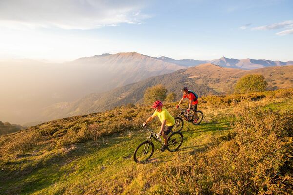
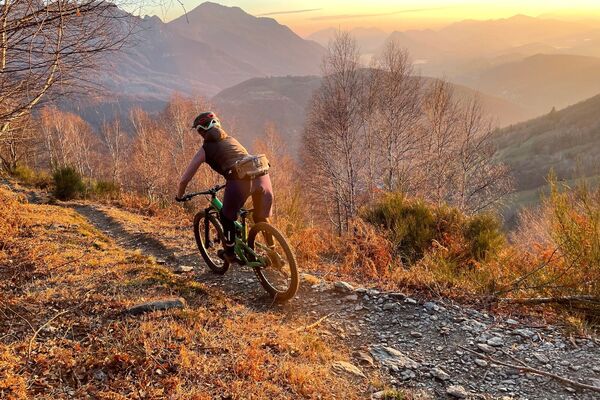
© Ente Turistico Regionale del Moesano - Christian Vigne

© Ente Turistico Regionale del Moesano - Christian Vigne

© Ente Turistico Regionale del Moesano - Christian Vigne

© Ente Turistico Regionale del Moesano - Christian Vigne

© Ente Turistico Regionale del Moesano - Christian Vigne

© Ente Turistico Regionale del Moesano - Christian Vigne

© Ente Turistico Regionale del Moesano - Christian Vigne

© Ente Turistico Regionale del Moesano - Christian Vigne

© Ente Turistico Regionale del Moesano - Christian Vigne
Retkitiedot
17,65km
315
- 958m
603hm
565hm
02:45h
- Lyhyt kuvaus
-
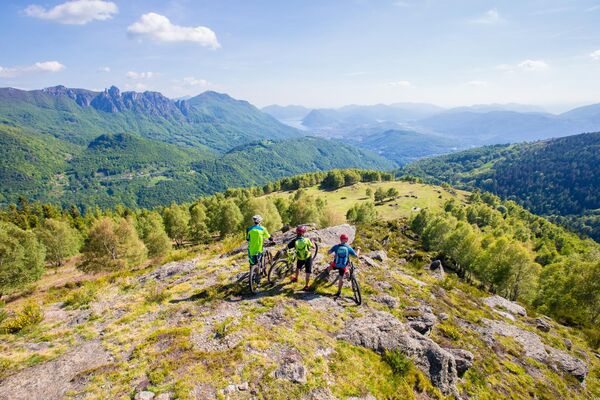
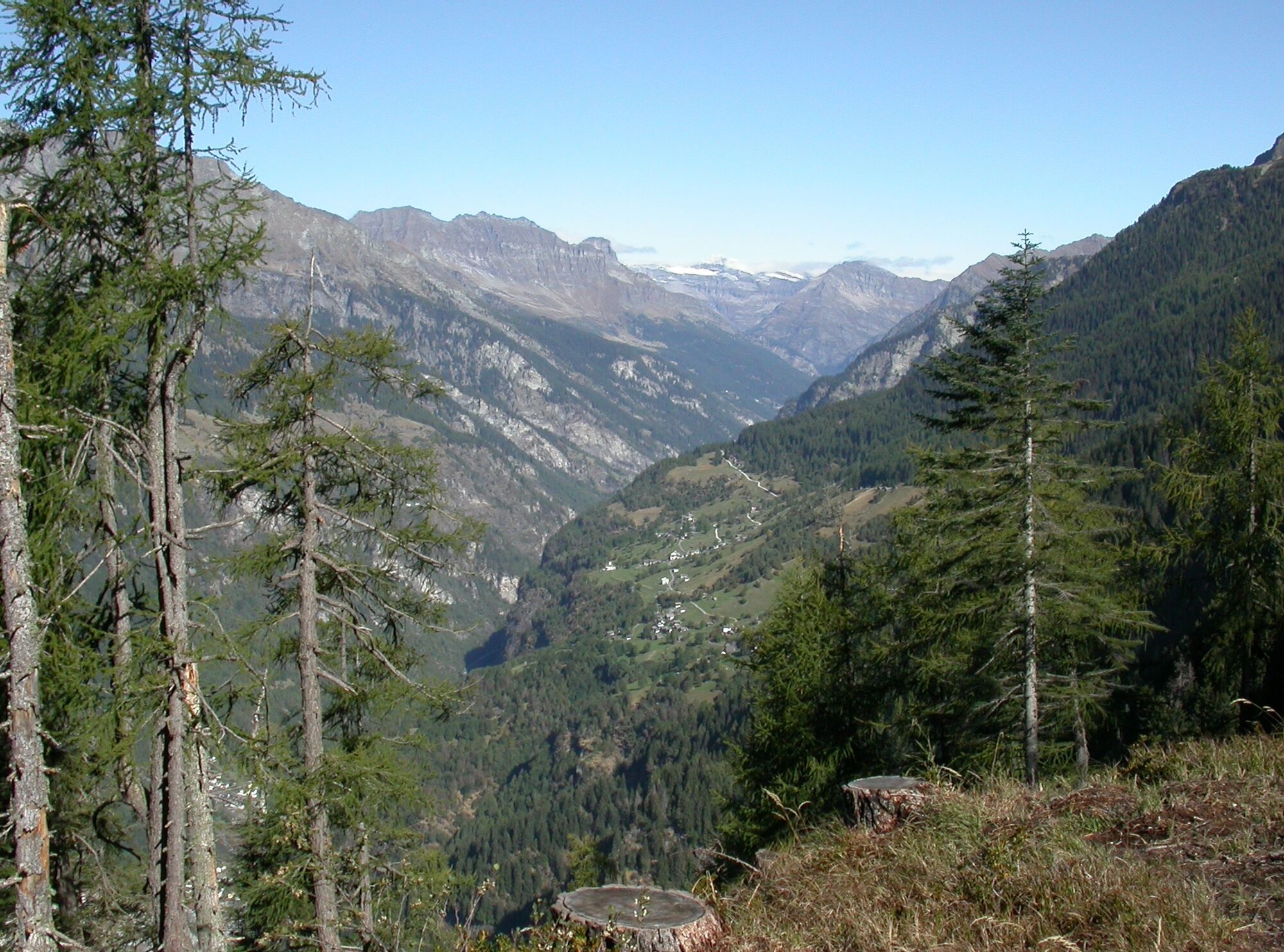
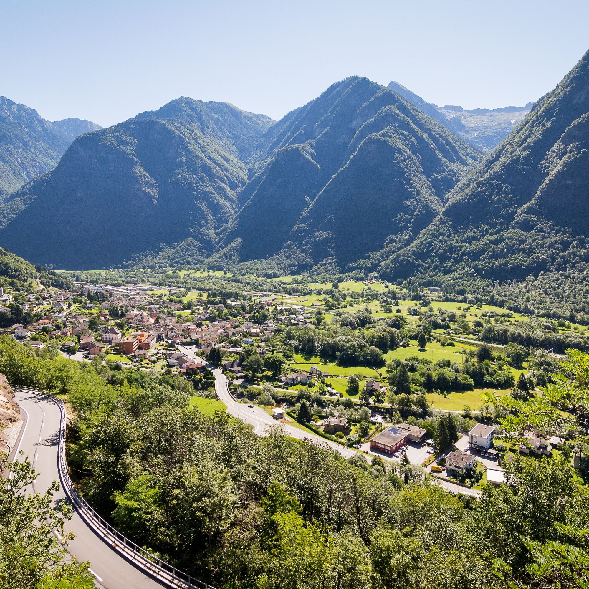
Difficult tour, due to its varied nature. A real treat would be to cover the length in its entirety, passing through each individual village. Some tips: the famous ‘grotti’ and the biotopes, true nature reserves.
- Vaikeus
-
tapa
- Arviointi
-
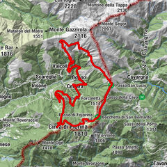
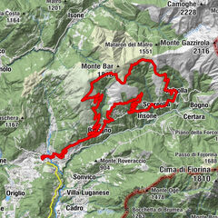
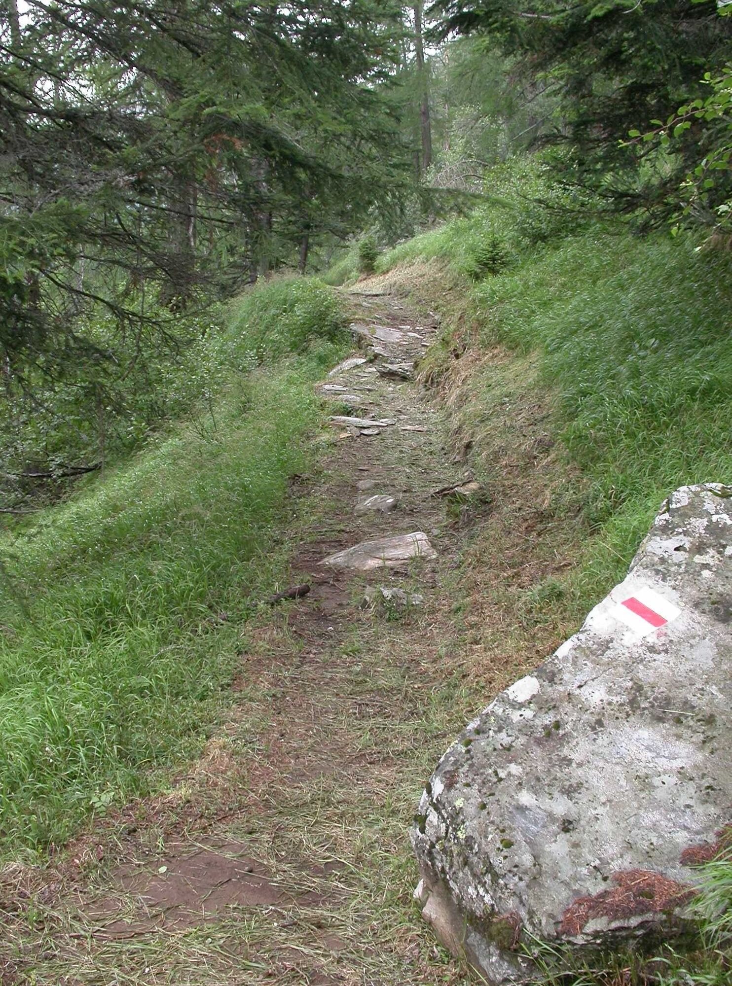
- Reitti
-
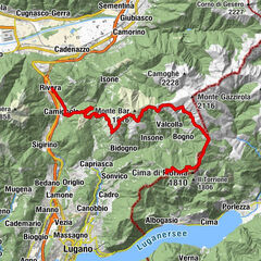
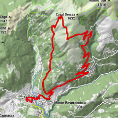
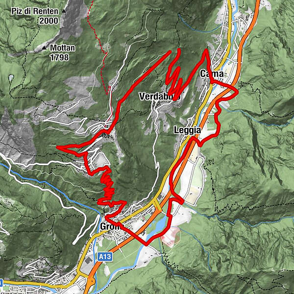
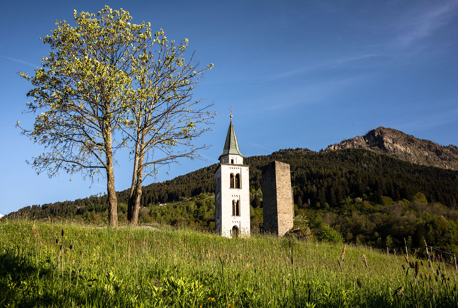
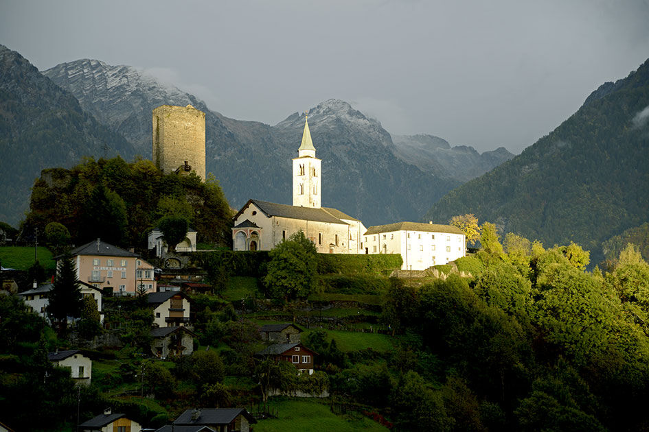
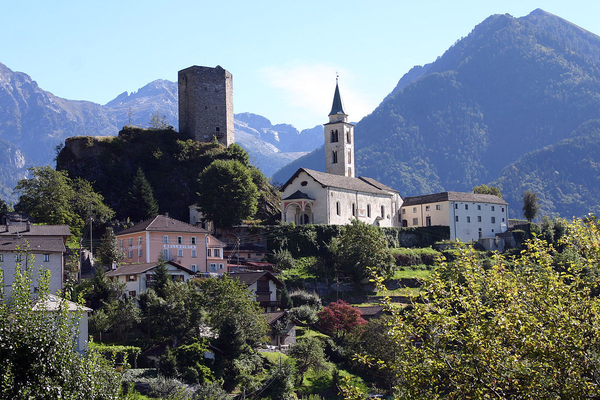
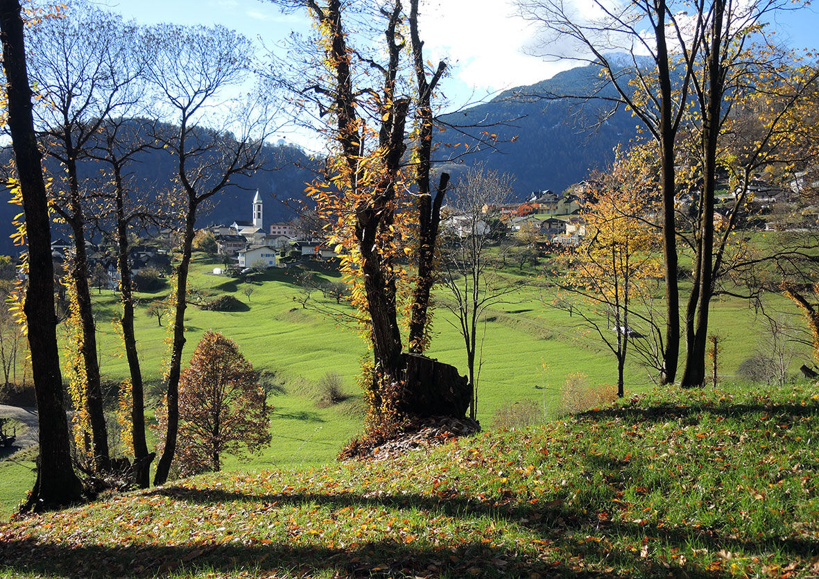
Verdabbio (604 m)1,5 kmCama (366 m)3,8 kmRistorantino Nostrano3,8 kmRistorante della Posta3,9 kmOgreda4,5 kmLeggia (337 m)6,2 kmGrono (336 m)9,4 kmRistorante Vecchia Birreria9,5 kmChiesa di San Clemente10,0 kmBelvedé10,5 kmNadro10,7 kmA la Mota13,6 km4 Stagioni13,8 kmGuidamber13,9 kmCastaneda (750 m)13,9 kmCanton14,0 kmTapa14,0 kmAl Ronch14,3 kmPian del Borla14,4 kmRistorante de Torre15,6 kmSanta Maria in Calanca (955 m)15,6 kmVerdabbio (604 m)16,9 km
- Paras kausi
-
tammihelmimaalishuhtitoukokesäheinäelosyyslokamarrasjoulu
- Korkein kohta
- 958 m
- Kohde
-
old train station of Grono
- Korkeusprofiili
-
 © outdooractive.com
-

-
KirjoittajaKiertue MTB route Santa Maria in Calanca käyttää outdooractive.com toimitettu.
GPS Downloads


Lisää retkiä alueilla
-
Comer See
72
-
Val Calanca
41
-
Verdabbio
5