© Engadin Samnaun Val Müstair - Michael Meusburger

© Engadin Samnaun Val Müstair - Andrea Badrutt, Chur

© Engadin Samnaun Val Müstair - Andrea Badrutt, Chur

© Engadin Samnaun Val Müstair - Andrea Badrutt, Chur

© Engadin Samnaun Val Müstair - Andrea Badrutt, Chur

© Engadin Samnaun Val Müstair - Andrea Badrutt, Chur

© Engadin Samnaun Val Müstair - Andrea Badrutt, Chur

- Lyhyt kuvaus
-
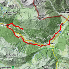
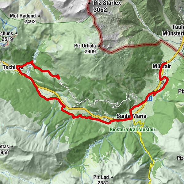
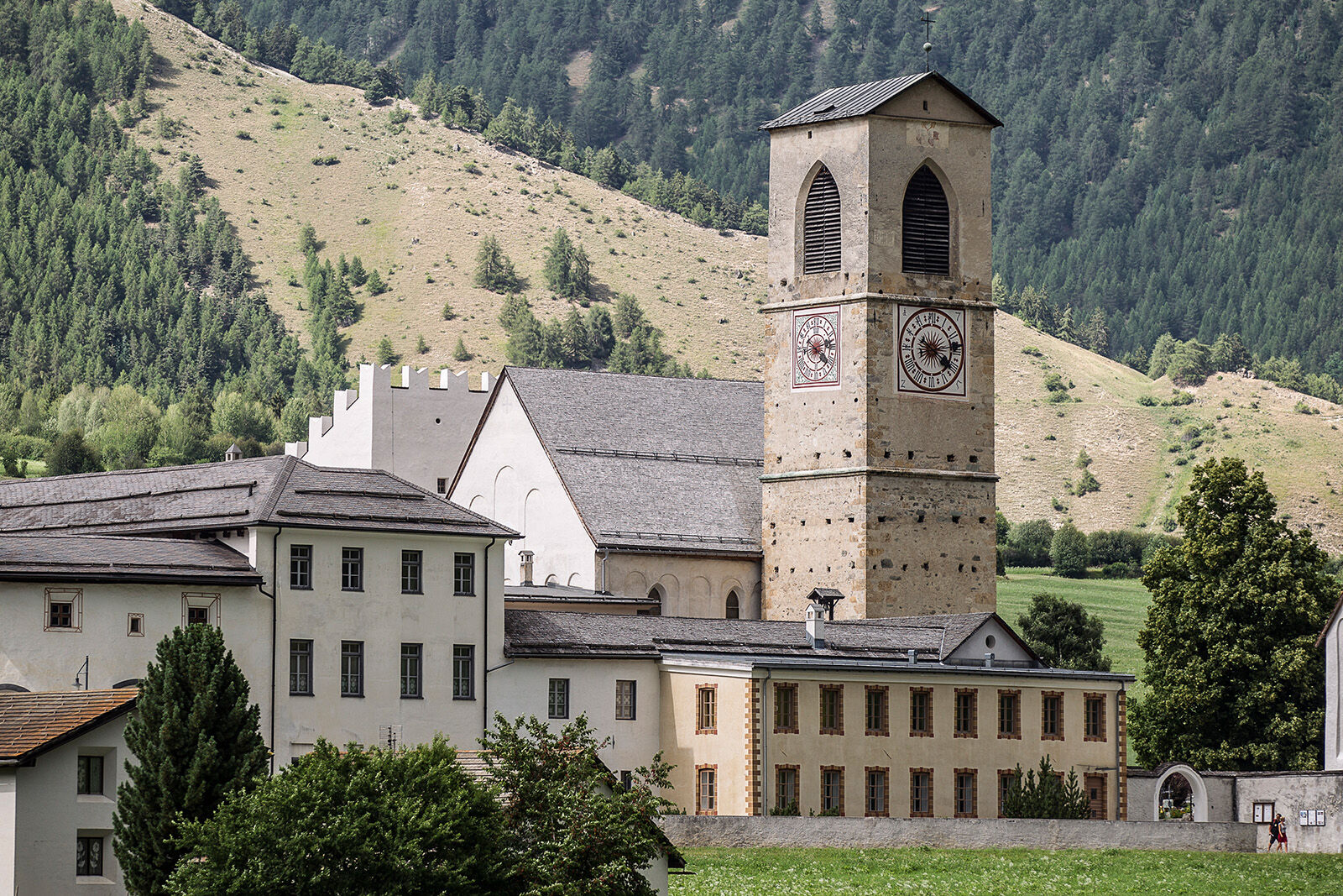
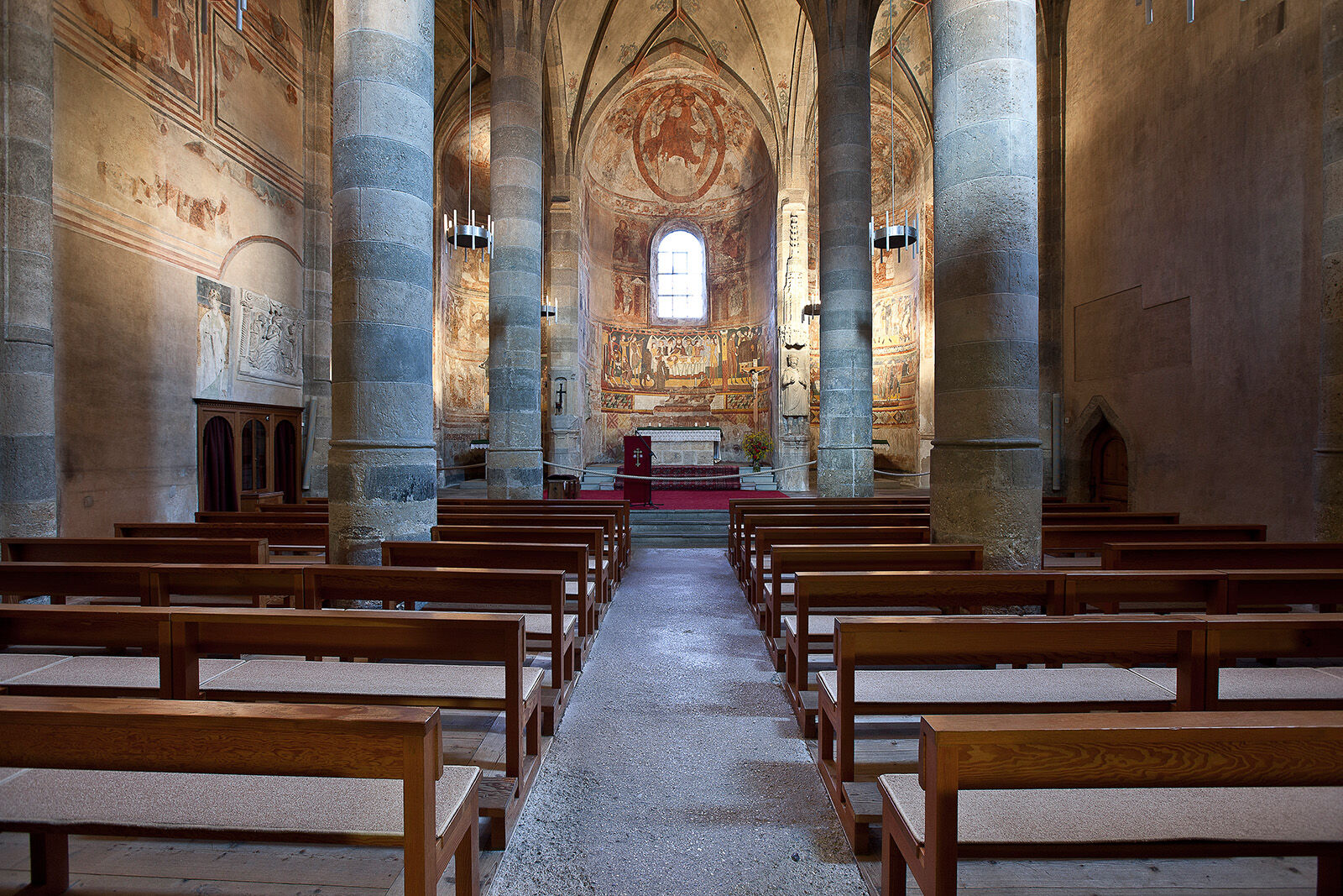
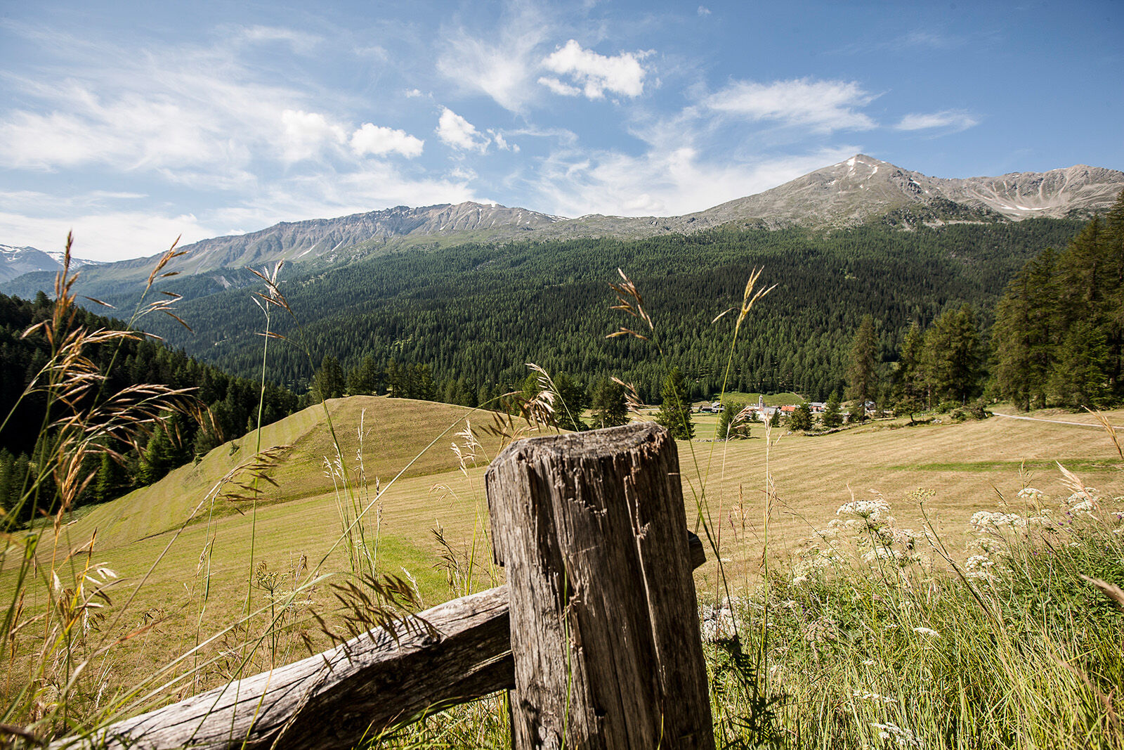
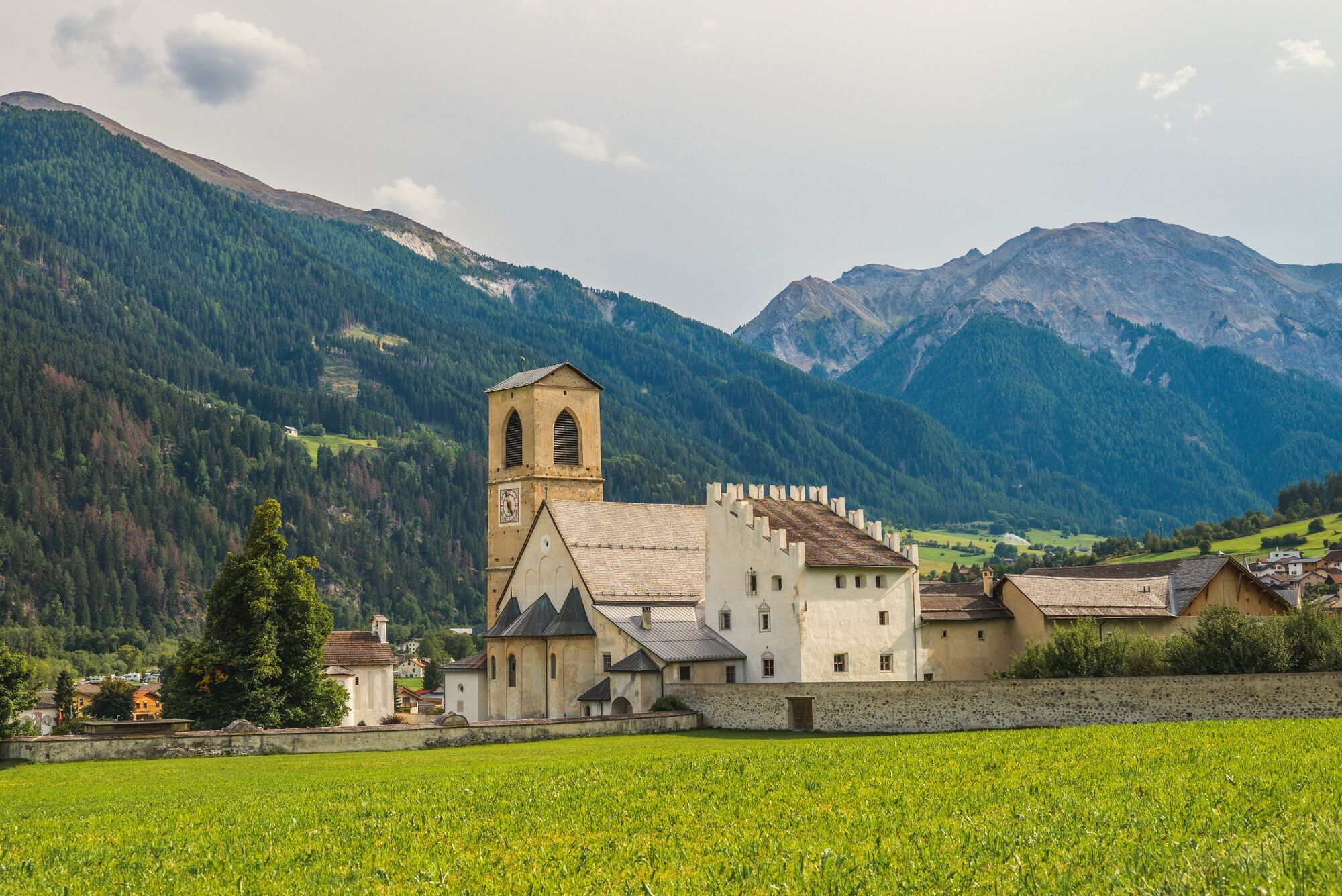
The way of St. James pilgrimage from Müstair to Lü forms the 1st stage of the Way of St. James in Grisons and the most easterly stage in Switzerland and thus a small section of the European pilgrimage network that leads to Santiago de Compostela.
- Vaikeus
-
tapa
- Arviointi
-
- Reitti
-
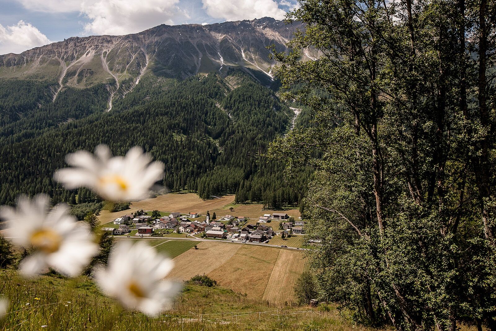
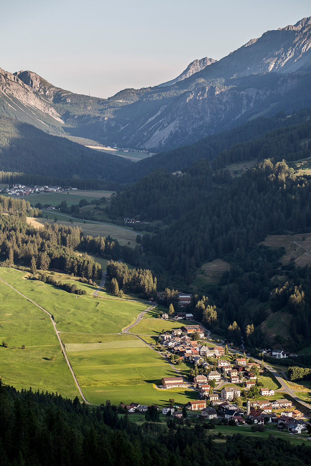
Heiligkreuzkapelle0,0 kmLa Cuort0,2 kmBalcun At0,4 kmMüstair (1.273 m)0,4 kmSomvi1,0 kmLiun1,0 kmPlazzöl1,7 kmSta. Maria Val Müstair (1.375 m)5,3 kmReformierte Kirche Santa Maria5,5 kmHotel Stelvio5,5 kmValcava (1.440 m)6,4 kmReformierte Kirche6,5 kmReformierte Kirche10,7 kmHotel/Landgasthof Staila10,7 kmFuldera (1.638 m)10,7 kmFuldera Daint11,3 kmOrasom Tschierv13,3 kmCierfs (1.660 m)14,3 kmReformierte Kirche17,7 kmLü (1.920 m)17,8 km
- Paras kausi
-
tammihelmimaalishuhtitoukokesäheinäelosyyslokamarrasjoulu
- Korkein kohta
- 1.923 m
- Kohde
-
Lü
- Korkeusprofiili
-
 © outdooractive.com
- Kirjoittaja
-
Kiertue Way of St. James Graubünden. Stage 1, Müstair - Lü käyttää outdooractive.com toimitettu.
GPS Downloads


Yleistä tietoa
Virvokepysäkki
Kulttuuri/Historiallinen
Flora
Fauna
Lupaava
Lisää retkiä alueilla
-
Vinschgau
1290
-
Biosfera Val Müstair
566
-
Fuldera
145