© Graubünden Ferien - tolisart.com

© Graubünden Ferien - tolisart.com

© Graubünden Ferien - tolisart.com
- Lyhyt kuvaus
-
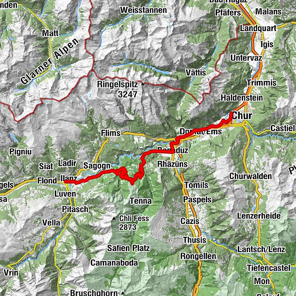
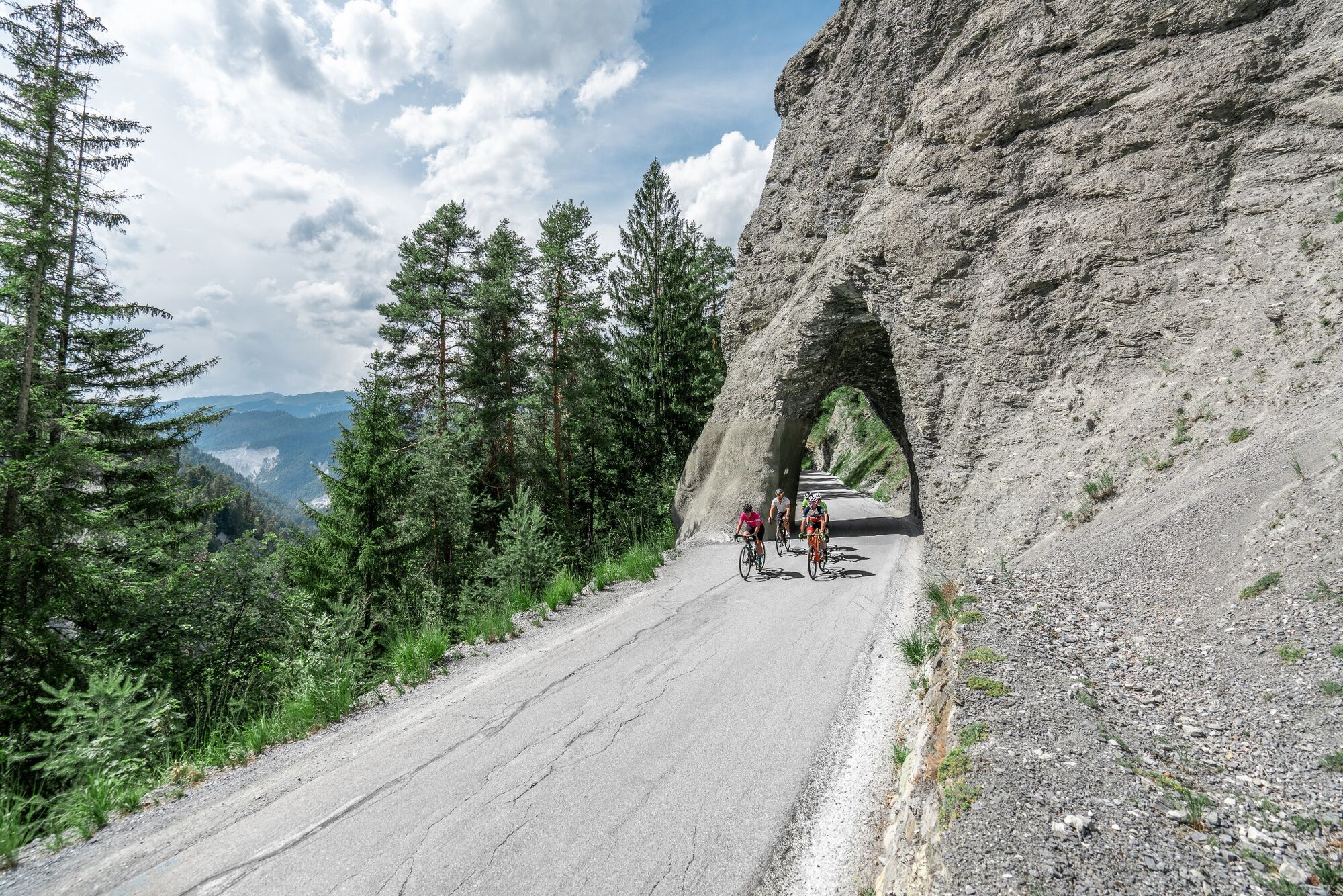
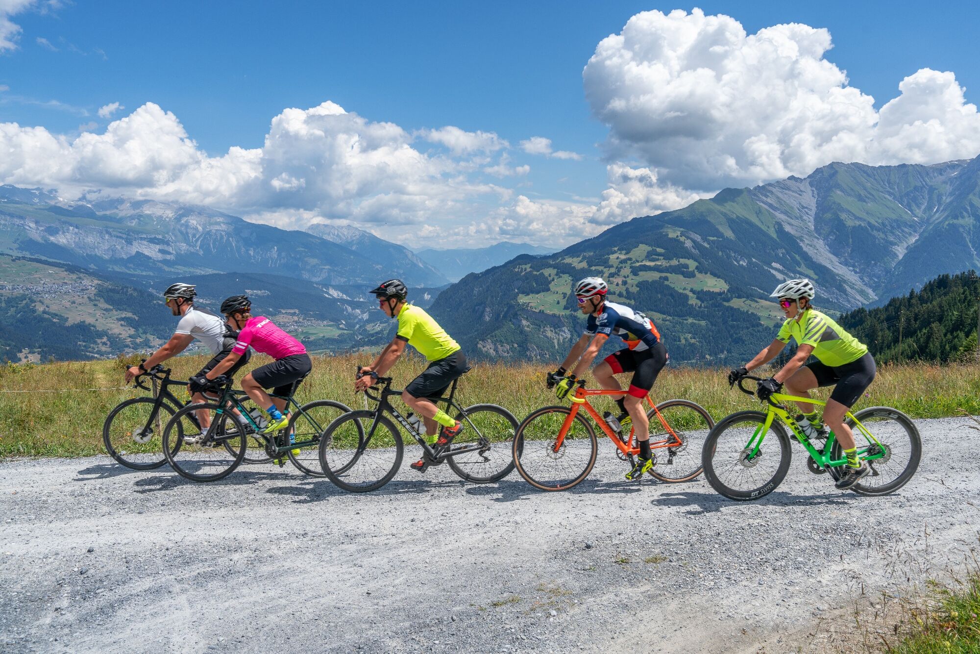
The gravel tour through the Surselva to Disentis-Sedrun and the Maighelshütte promises not only an exciting journey of discovery, but also a journey through the largest Romansh-speaking area of Graubünden to the source of the Rhine.
- Vaikeus
-
tapa
- Arviointi
-
- Reitti
-
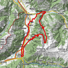
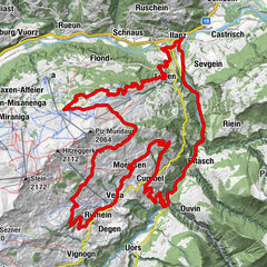
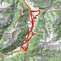
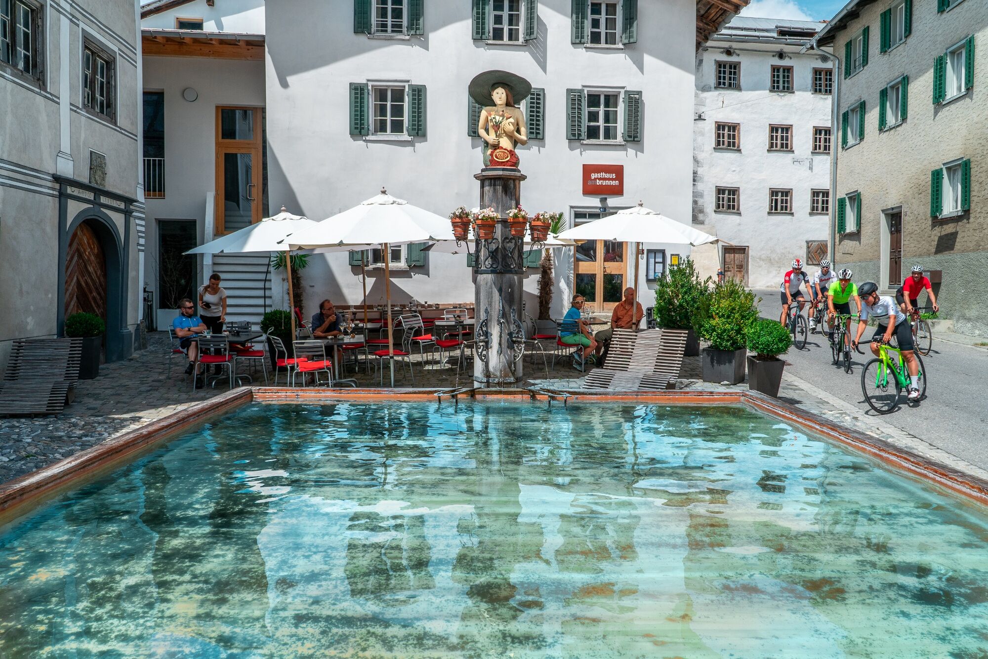
Chur (593 m)0,6 kmRestaurant Calanda3,4 kmFelsberg (572 m)3,7 kmReformierte Kirche4,2 kmEms (586 m)5,9 kmAsella8,2 kmTamins9,6 kmKrone9,7 kmReichenau10,5 kmCampagna11,8 kmGurgs12,0 kmTadi12,7 kmCaruso13,0 kmBonaduz (662 m)13,1 kmZault17,1 kmVersam20,1 kmArezen22,9 kmMaiensäßbeizli Ilmschlacht27,6 kmBrün30,0 kmCarrera34,9 kmGasthaus am Brunnen36,9 kmValendas36,9 kmKästris (722 m)41,2 kmKatholische Pfarrkirche Maria Himmelfahrt43,5 kmIlanz (702 m)43,6 km
- Paras kausi
-
tammihelmimaalishuhtitoukokesäheinäelosyyslokamarrasjoulu
- Korkein kohta
- 1.578 m
- Kohde
-
Ilanz
- Korkeusprofiili
-
 © outdooractive.com
-

-
KirjoittajaKiertue Stage 1 Gravel Bike Route Anterior Rhine: Chur – Ilanz käyttää outdooractive.com toimitettu.
GPS Downloads


Lisää retkiä alueilla
-
Heidiland
155
-
Flims Laax Falera
95
-
Trin
34