


- Lyhyt kuvaus
-
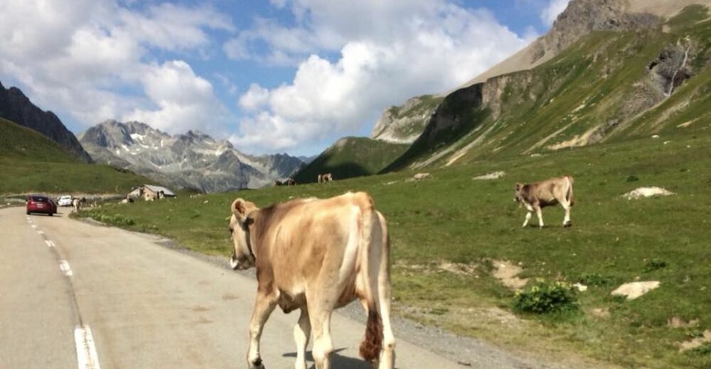
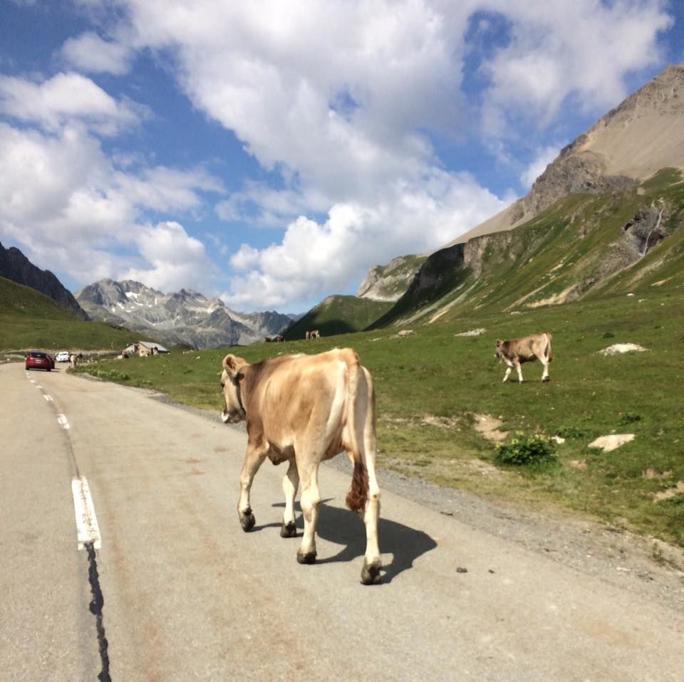
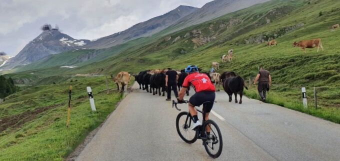
Albula
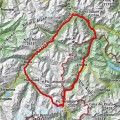
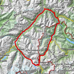
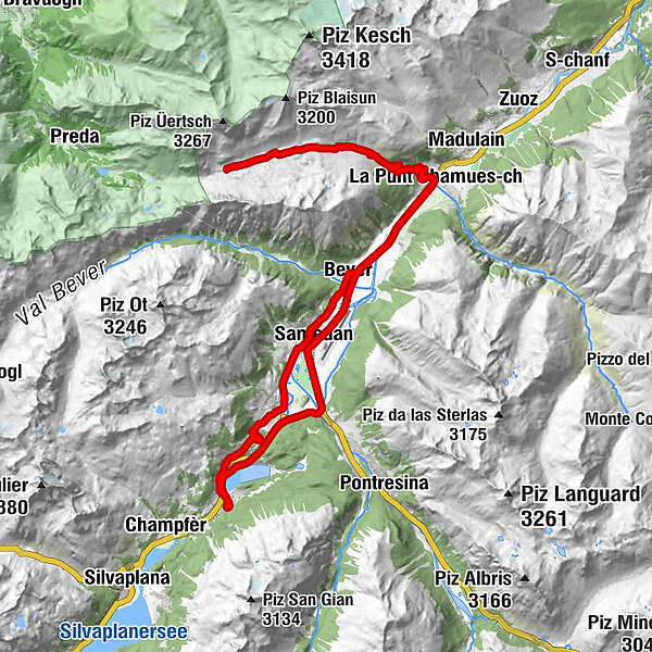
- Reitti
-
Sankt Moritz Bad0,8 kmSankt Moritz (1.822 m)1,7 kmCelerina Staz (1.716 m)4,0 kmSamaden (1.721 m)6,1 kmBever (1.708 m)10,0 kmReformierte Kirche12,5 kmAlbula12,6 kmLa Punt14,1 kmLa Punt Chamues-ch (1.687 m)14,1 kmLa Punt Chamues-ch (1.687 m)32,1 kmAlbula32,1 kmLa Punt32,2 kmFoto-Spot La Punt32,3 kmReformierte Kirche32,4 kmBever (1.708 m)36,3 kmBever (1.714 m)36,8 kmDa Primo36,8 kmSamedan (1.705 m)38,8 kmSamaden (1.721 m)38,8 kmSamedan Staziun (1.706 m)38,8 kmCelerina (1.714 m)41,7 kmEvangelisch-reformierte Kirche Crasta41,9 kmTree Corner43,0 kmShamrock43,1 kmTelephone Corner43,2 kmHorse-Shoe43,3 kmSunny Corner43,4 kmNash-Dixon Corner43,5 kmMonti's Bolt43,5 kmSt. Mauritius43,9 kmSankt Moritz (1.822 m)44,7 kmBadkirche45,5 kmSankt Moritz Bad45,7 km
- Korkein kohta
- 2.310 m
- Korkeusprofiili
-
 © outdooractive.com
- Kirjoittaja
-
Kiertue STM-RACE- Albula käyttää outdooractive.com toimitettu.
GPS Downloads
Lisää retkiä alueilla
-
Engadin St. Moritz
20
-
Bever
7