© Andrea Badrutt

© Andrea Badrutt

© Andrea Badrutt

© Andrea Badrutt

© Andrea Badrutt

- Lyhyt kuvaus
-
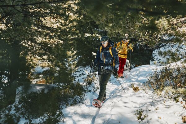
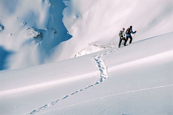
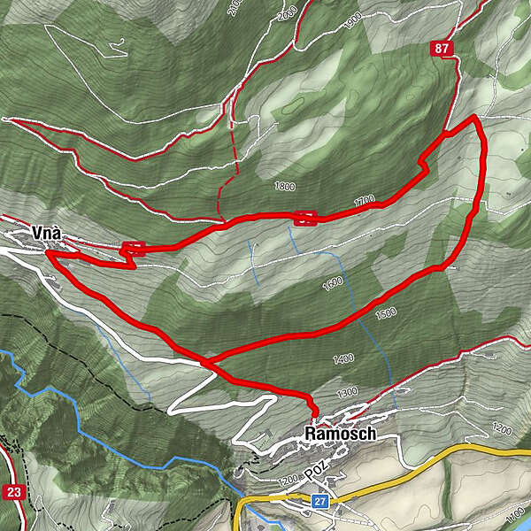
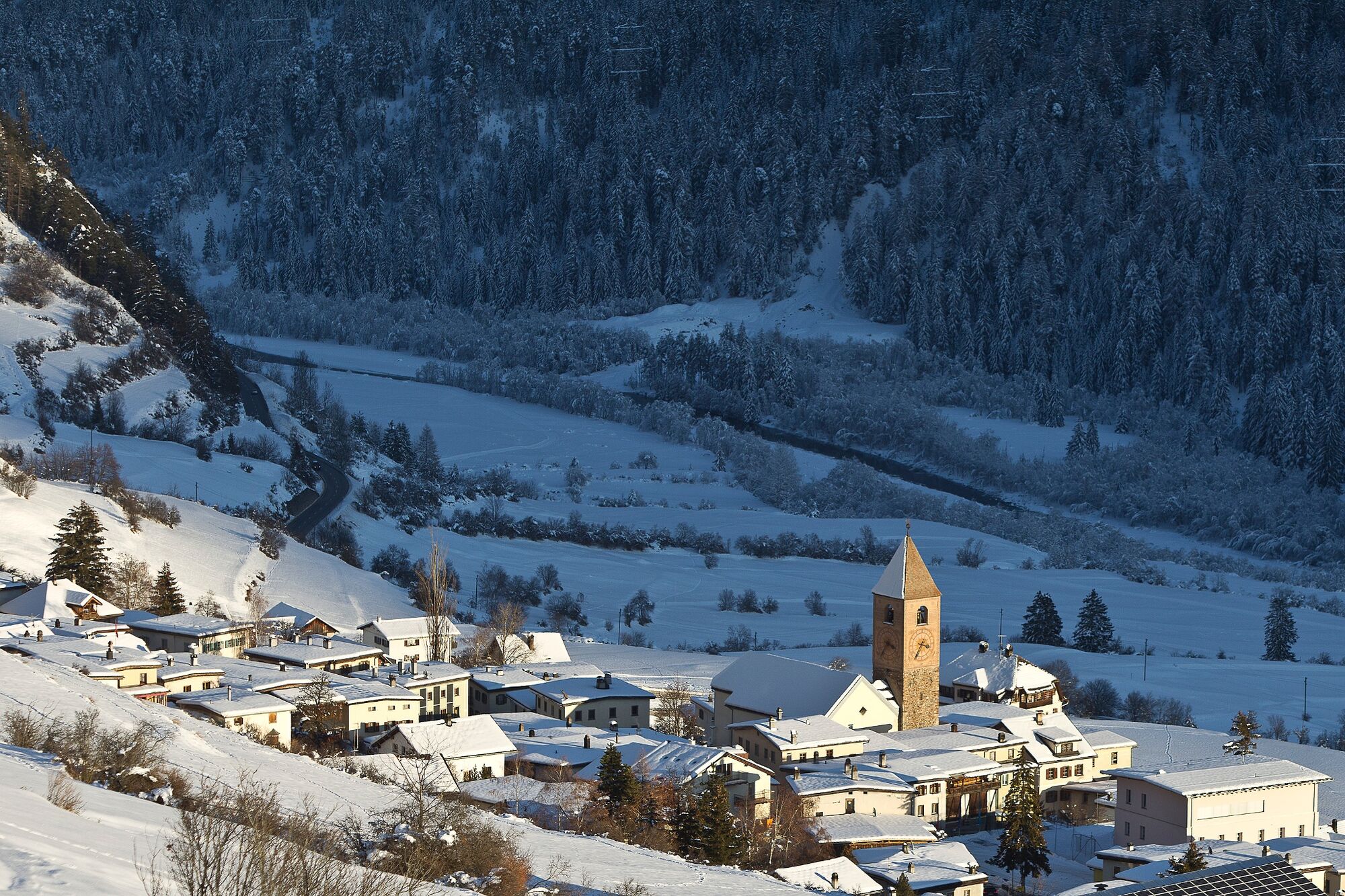
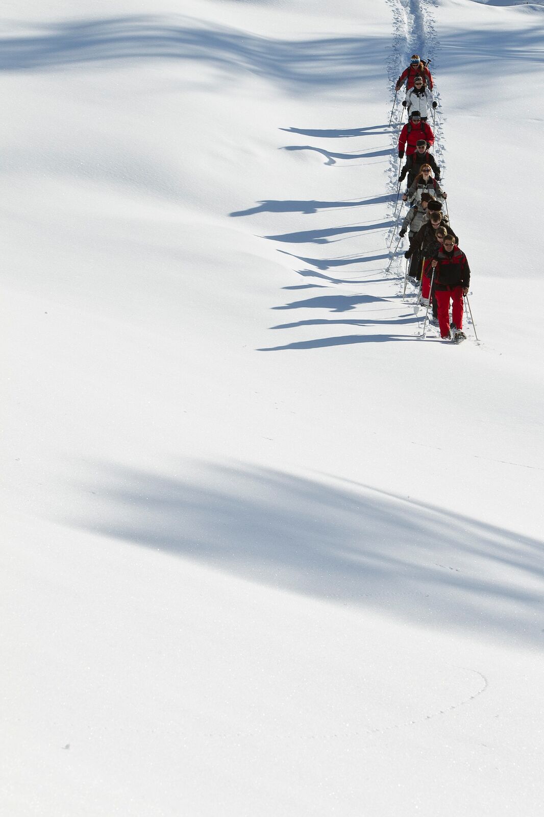
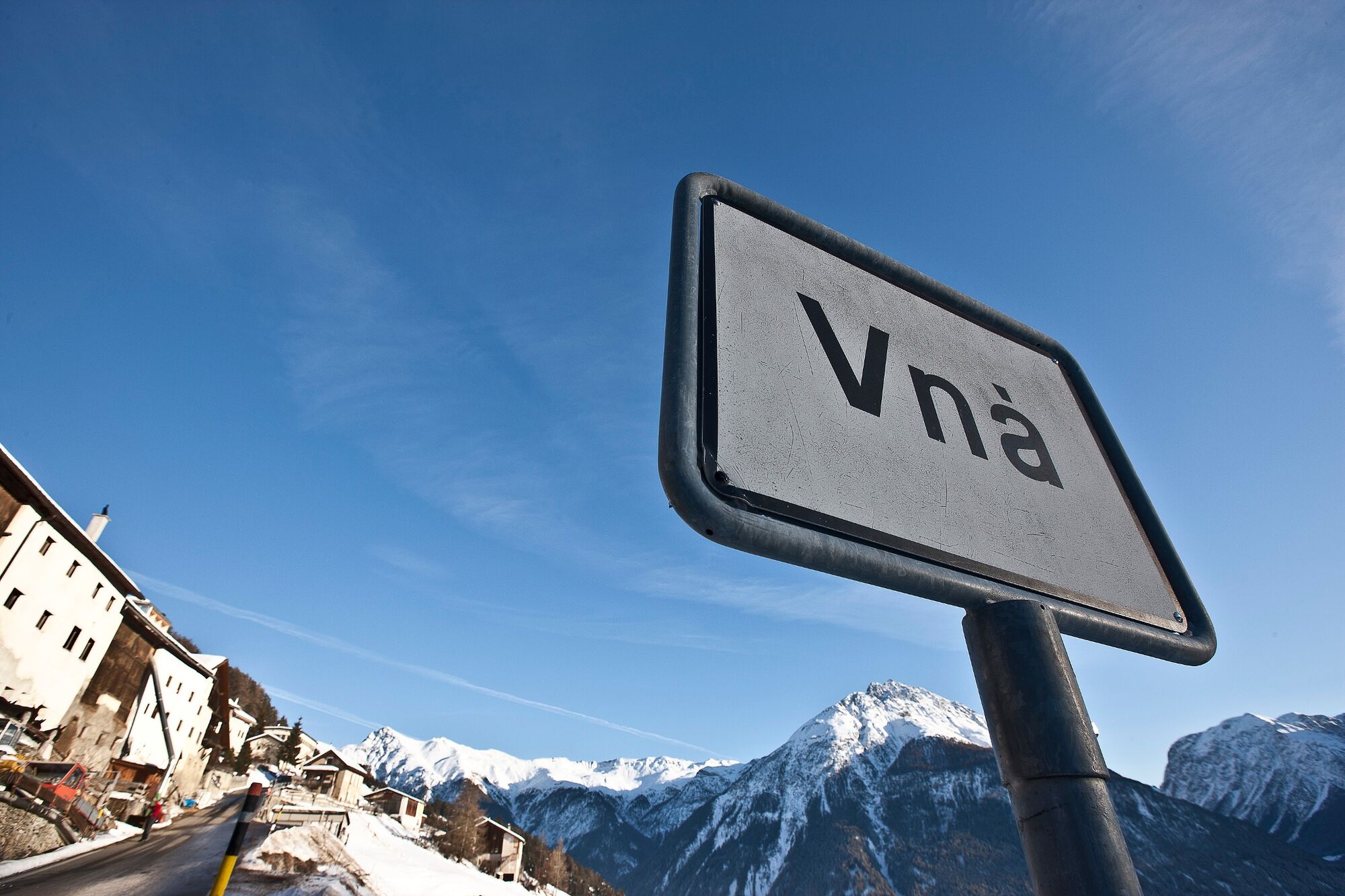
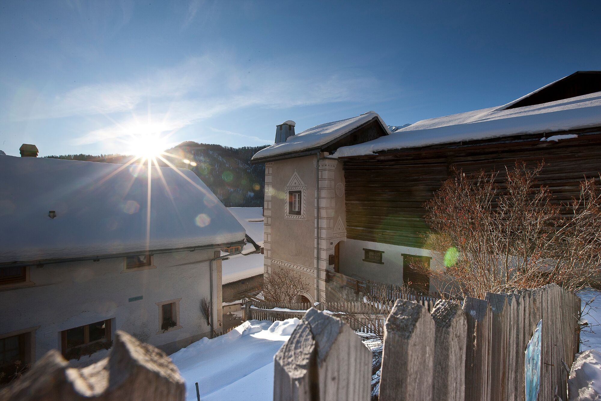
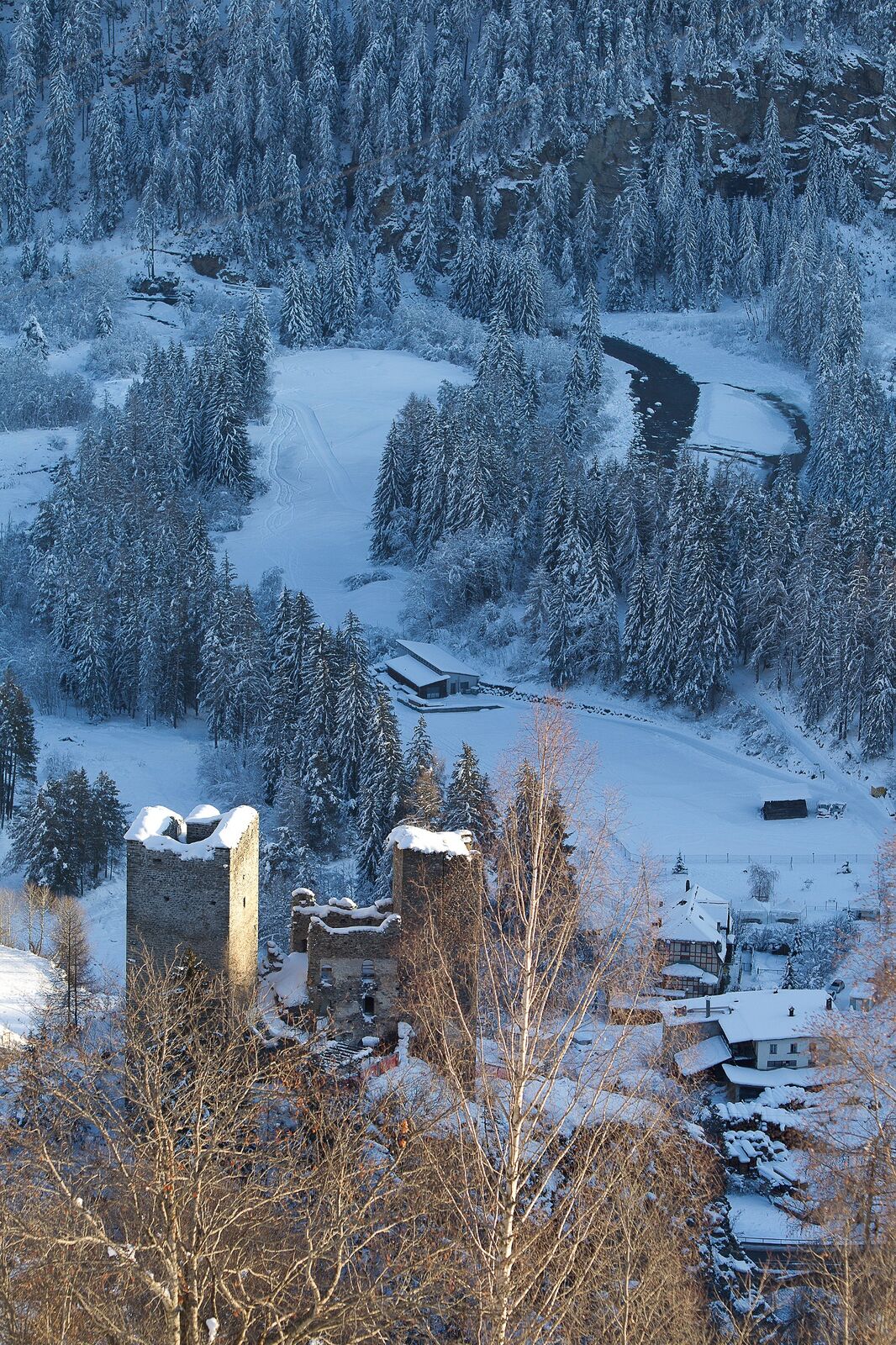
On the sunny slope high above the Inn valley, the snowshoe route, which is rather steep at the beginning, leads through open terrain from Ramosch to Vnà and back again through the forest.
- Vaikeus
-
tapa
- Arviointi
-
- Reitti
-
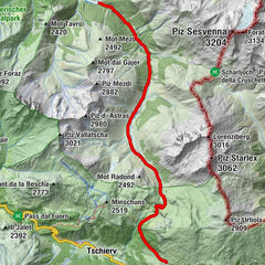
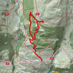
Ramosch (1.236 m)Vnà5,2 kmBaselgia refuormada da Vnà5,4 kmRamosch (1.236 m)7,0 km
- Paras kausi
-
elosyyslokamarrasjoulutammihelmimaalishuhtitoukokesäheinä
- Korkein kohta
- 1.737 m
- Kohde
-
Ramosch
- Korkeusprofiili
-
 © outdooractive.com
- Kirjoittaja
-
Kiertue Ramosch – Tulai – Vnà– Ramosch käyttää outdooractive.com toimitettu.
GPS Downloads


Yleistä tietoa
Lupaava
Lisää retkiä alueilla
-
Vinschgau
72
-
Engadin Scuol Zernez
29
-
Ramosch-Vnà
11