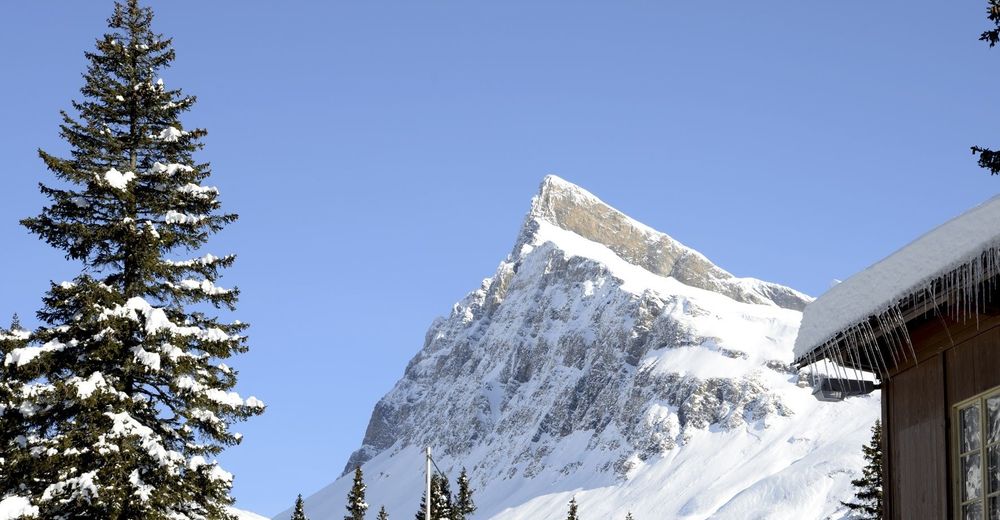
© Ente Turistico Regionale del Moesano San Bernardino, Mesolcina, Calanca - Christian Vigne
Retkitiedot
3,96km
1.609
- 1.781m
144hm
151hm
01:28h
- Lyhyt kuvaus
-
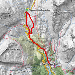
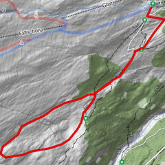
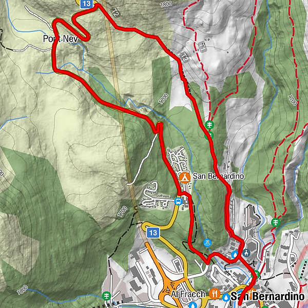
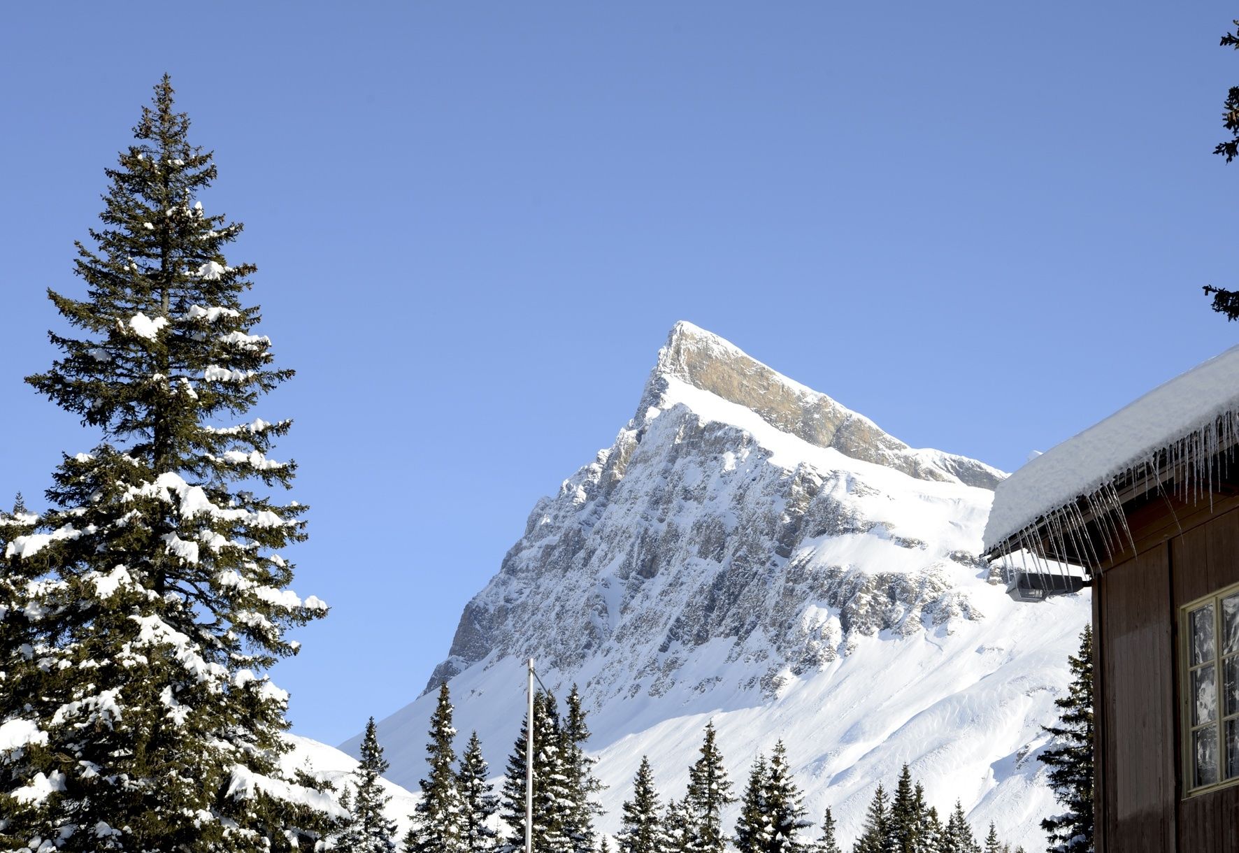
A beautiful, typical southern alpine landscape surrounds the probably most beautiful and varied route in San Bernardino. The panoramic winter hike takes you along the old pass road to Pont Nef.
- Vaikeus
-
tapa
- Arviointi
-
- Reitti
-
Pont Nev1,8 kmSan Bernardino (1.626 m)3,9 km
- Paras kausi
-
elosyyslokamarrasjoulutammihelmimaalishuhtitoukokesäheinä
- Korkein kohta
- 1.781 m
- Korkeusprofiili
-
 © outdooractive.com
-

-
KirjoittajaKiertue Pont Nef - itinerario con ciaspole käyttää outdooractive.com toimitettu.
GPS Downloads


Yleistä tietoa
Virvokepysäkki
Kulttuuri/Historiallinen
Sisäpiirin vinkki
Fauna
Lupaava
Lisää retkiä alueilla