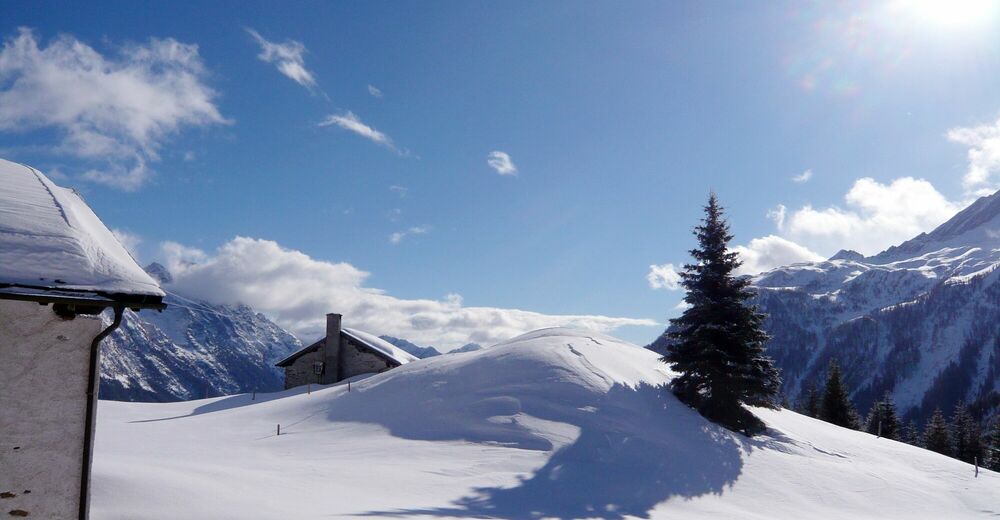
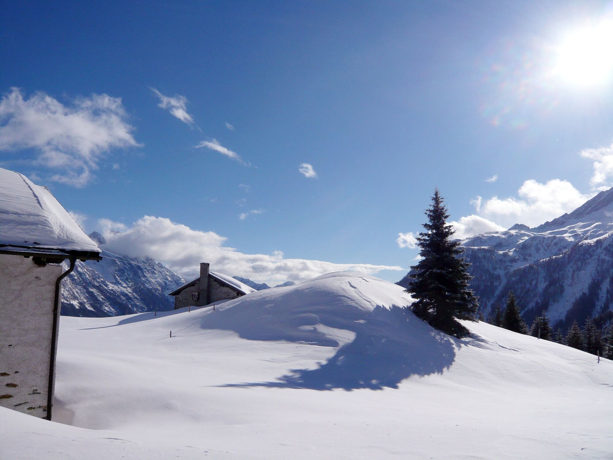
© Ente Turistico Regionale del Moesano - Christian Vigne
Retkitiedot
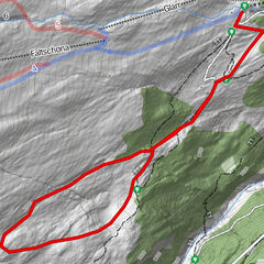
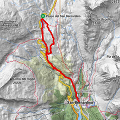
3,6km
1.654
- 1.755m
167hm
145hm
01:25h
- Lyhyt kuvaus
-
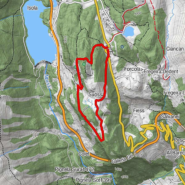
A mountainous landscape, an idyllic high moor area, thereafter another challenging ascent and a spectacular descent: the circuit hike of Furestin is quite impressive, taking one through one of the prettiest parts of San Bernardino and continuously rewarding the hiker with new and beautiful views.
- Vaikeus
-
tapa
- Arviointi
-
- Reitti
-
Du LacSuòssa0,8 kmGei Sora1,3 kmMerculeis2,1 kmDu Lac3,6 km
- Paras kausi
-
elosyyslokamarrasjoulutammihelmimaalishuhtitoukokesäheinä
- Korkein kohta
- 1.755 m
- Korkeusprofiili
-
 © outdooractive.com
-

-
KirjoittajaKiertue 557 - Furestin käyttää outdooractive.com toimitettu.
GPS Downloads


Yleistä tietoa
Kulttuuri/Historiallinen
Sisäpiirin vinkki
Fauna
Lupaava
Lisää retkiä alueilla