© IG UNESCO Welterbe Tektonikarena Sardona

© IG UNESCO Welterbe Tektonikarena Sardona

- Lyhyt kuvaus
-
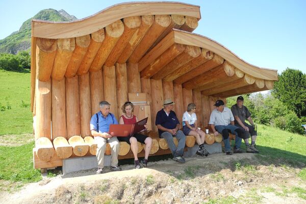
Family Adventure am Oberen Segnesboden
- Vaikeus
-
tapa
- Arviointi
-
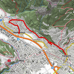
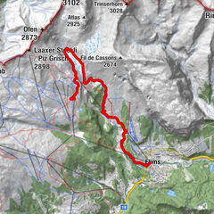
- Reitti
-
SegneshütteSegnas1,1 kmSegnas6,9 kmSegneshütte8,0 km
- Paras kausi
-
tammihelmimaalishuhtitoukokesäheinäelosyyslokamarrasjoulu
- Korkein kohta
- 2.456 m
- Kohde
-
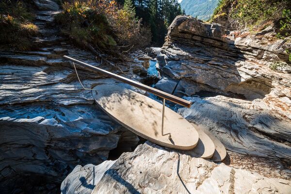
Besucherpavillon Segnes
- Korkeusprofiili
-
 © outdooractive.com


- Kirjoittaja
-
Kiertue Tektoni - and the flight through Martinsloch käyttää outdooractive.com toimitettu.
GPS Downloads


Yleistä tietoa
Virvokepysäkki
Lupaava
Lisää retkiä alueilla
-
Glarnerland
1972
-
Flims Laax Falera
774
-
Elm
206


")