© Engadin Samnaun Val Müstair - Andrea Badrutt

© Engadin Samnaun Val Müstair - Daniel Fleuti

© Engadin Samnaun Val Müstair - Daniel Fleuti

© Outdooractive – 3D Videos

- Lyhyt kuvaus
-
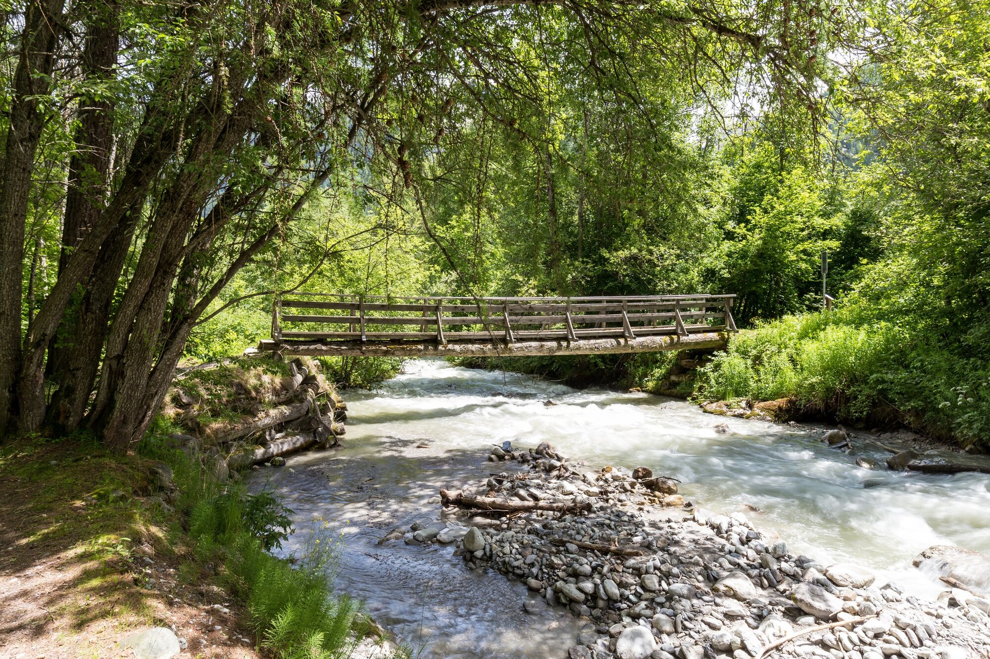
Varied hike along the free-flowing main valley river, along magnificent and largely untouched floodplains along the Rombach. The accompanying brochure "A la riva dal Rom - a river writes history" provides exciting insights into the eventful history, the special habitats and the legends surrounding the Rombach and thus turns the hike into a theme trail.
- Vaikeus
-
tapa
- Arviointi
-
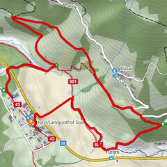
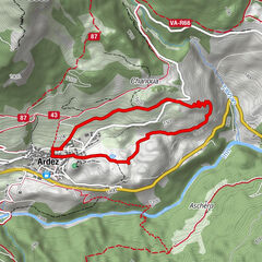
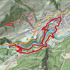
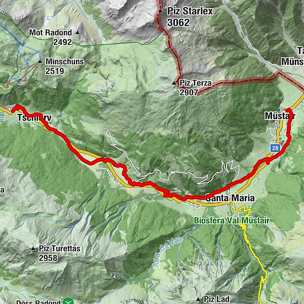
- Reitti
-
Cierfs (1.660 m)1,0 kmOrasom Tschierv2,3 kmFuldera (1.638 m)4,9 kmFurom6,1 kmBulaseras6,6 kmMuglin8,6 kmValcava (1.440 m)8,9 kmSta. Maria Val Müstair (1.375 m)10,1 kmPlazzöl13,4 kmMüstair (1.273 m)14,0 kmChavalatsch14,5 kmHeiligkreuzkapelle14,7 km
- Paras kausi
-
tammihelmimaalishuhtitoukokesäheinäelosyyslokamarrasjoulu
- Korkein kohta
- 1.730 m
- Kohde
-
PostBus stop Müstair, Clostra Son Jon
- Korkeusprofiili
-
 © outdooractive.com


- Kirjoittaja
-
Kiertue 801 A la riva dal Rom - on the banks of the Rom käyttää outdooractive.com toimitettu.
GPS Downloads


Yleistä tietoa
Virvokepysäkki
Kulttuuri/Historiallinen
Flora
Fauna
Lisää retkiä alueilla
-
Vinschgau
1290
-
Biosfera Val Müstair
566
-
Fuldera
145