


- Lyhyt kuvaus
-
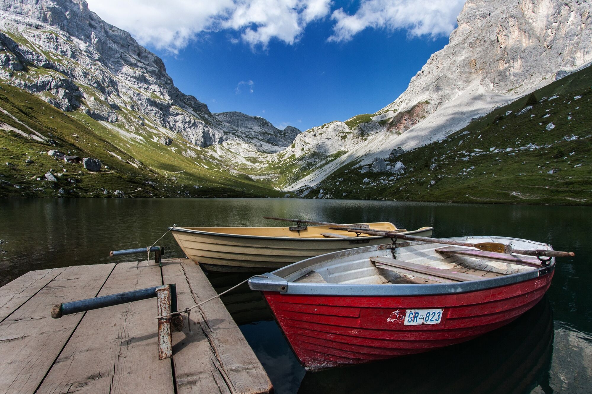
Gemütliche Wanderung - See geniessen - rasante Abfahrt
- Vaikeus
-
helppo
- Arviointi
-
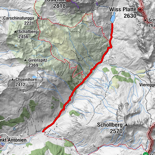
- Reitti
-
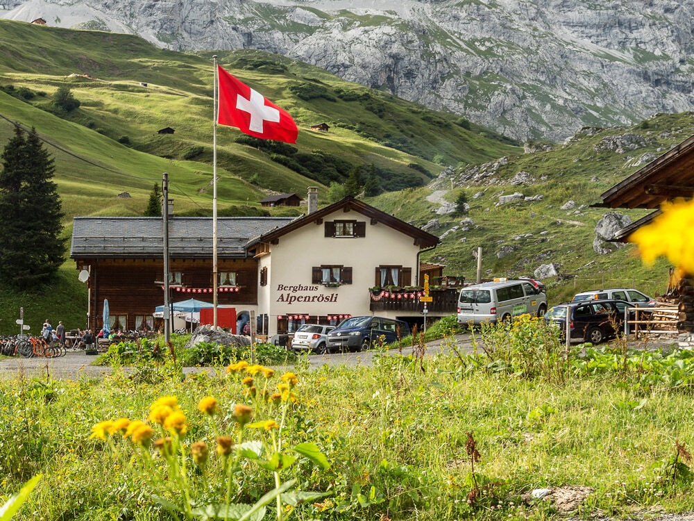
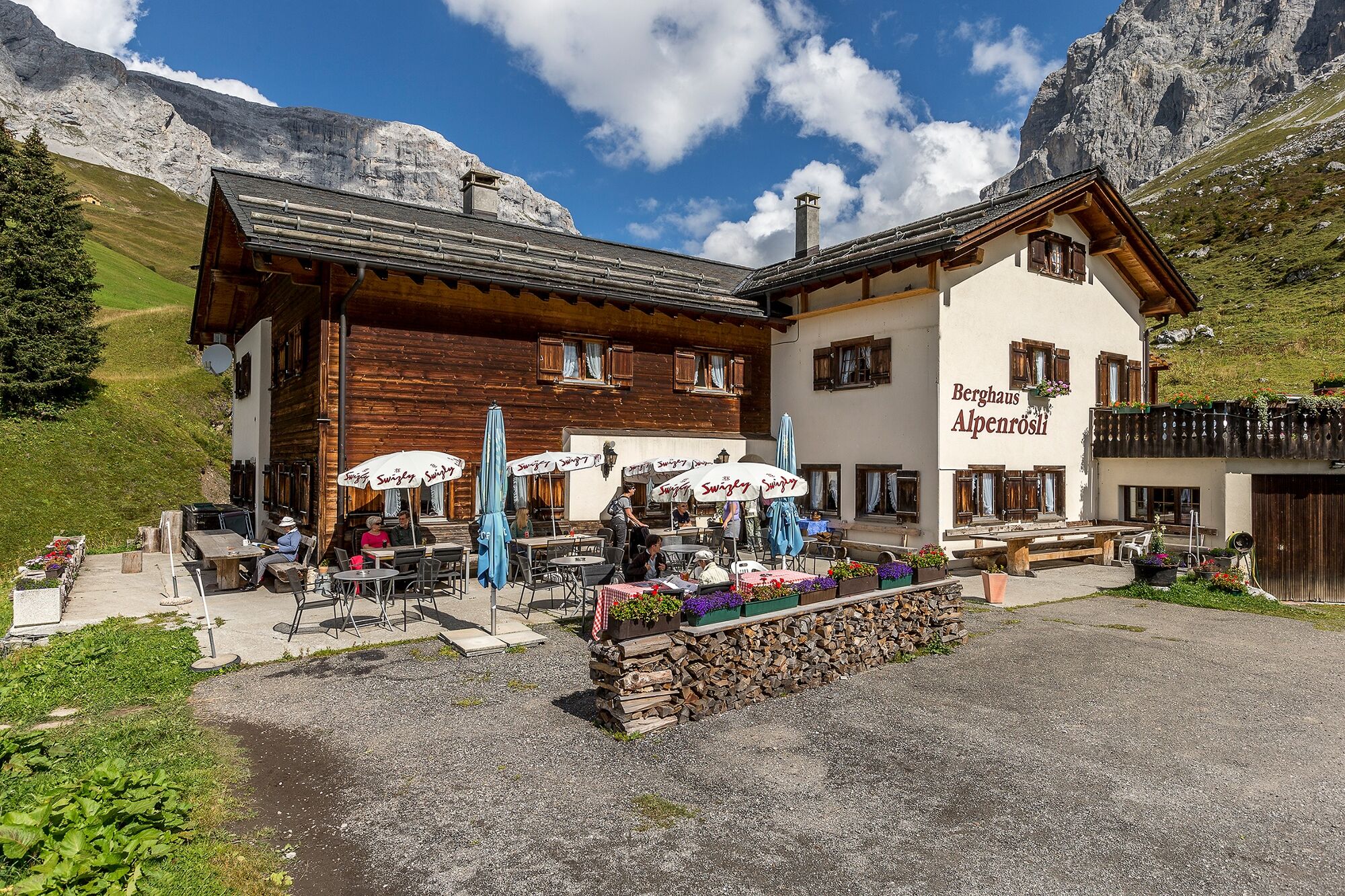
Litzirüti0,0 kmAlpenrösli3,9 km
- Paras kausi
-
tammihelmimaalishuhtitoukokesäheinäelosyyslokamarrasjoulu
- Korkein kohta
- 1.866 m
- Kohde
-
St. Antönien Platz
- Korkeusprofiili
-
 © outdooractive.com

-

-
KirjoittajaKiertue Hike to the Partnunsee, descent on a scooter käyttää outdooractive.com toimitettu.
GPS Downloads


Yleistä tietoa
Virvokepysäkki
Lupaava
Lisää retkiä alueilla
-
Montafon
1382
-
St. Antönien
307


