


- Lyhyt kuvaus
-
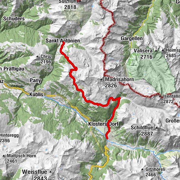
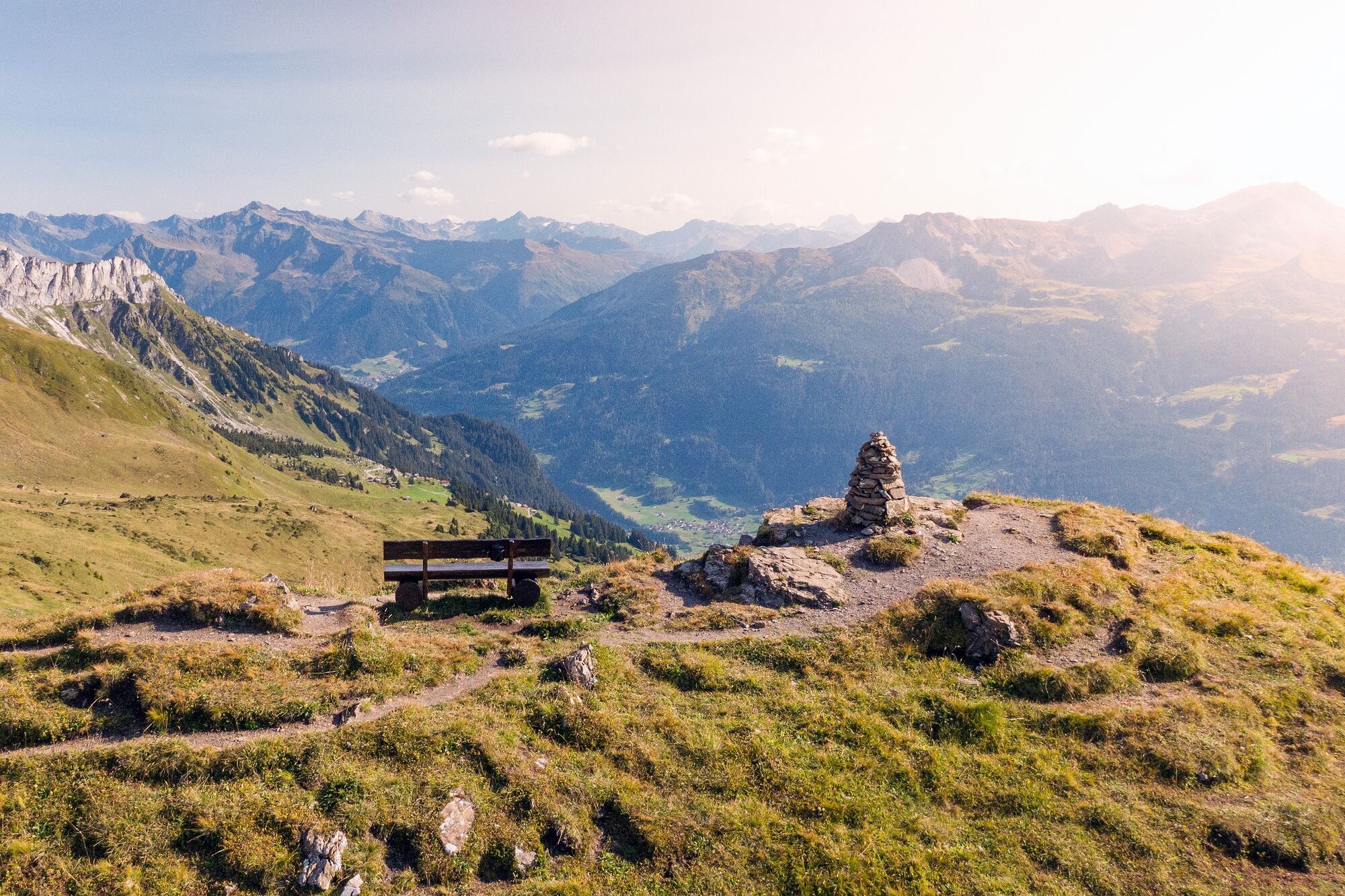
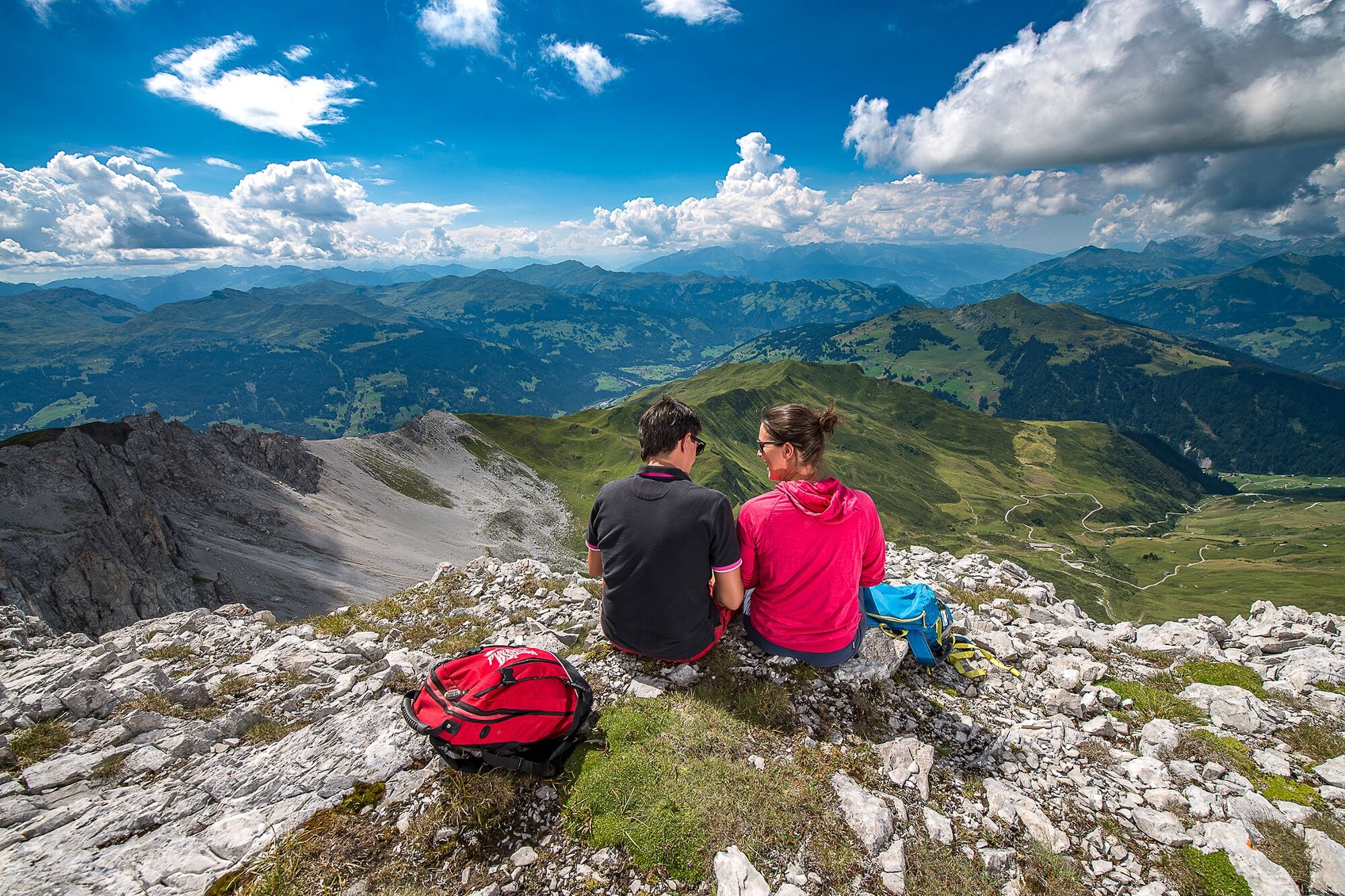
A long ascent on alp roads and mountain trails to Jägglischhorn and then sweeping views over the entire Rätikon and Prättigauer Höhenweg. Gentle descent through fields, past picturesque farm buildings to the upper station of the Madrisabahn cableway.
- Vaikeus
-
tapa
- Arviointi
-
- Reitti
-
Hotel-Restaurant Madrisajoch0,0 kmHotel Restaurant Rhätia0,0 kmPlatz (1.420 m)0,0 kmReformierte Kirche St. Antönien0,0 kmSankt Antönien (1.459 m)0,0 kmMarschall0,2 kmGürgetsch0,4 kmBellawiese0,9 kmAscharina3,2 kmSchlappin (1.658 m)16,5 kmSchlappin See16,8 kmBerghaus Erika16,8 kmKlosters Platz (1.191 m)22,4 km
- Paras kausi
-
tammihelmimaalishuhtitoukokesäheinäelosyyslokamarrasjoulu
- Korkein kohta
- 2.244 m
- Kohde
-
Klosters
- Korkeusprofiili
-
 © outdooractive.com
- Kirjoittaja
-
Kiertue 72 Prättigauer Höhenweg Etappe 4: St. Antönien – Klosters käyttää outdooractive.com toimitettu.
GPS Downloads


Yleistä tietoa
Virvokepysäkki
Lupaava
Lisää retkiä alueilla
-
Davos Klosters
930
-
Klosters
224


