© Engadin Samnaun Val Müstair - Schweizerischer Nationalpark / Hans Lozza

© Outdooractive – 3D Videos

© Engadin Samnaun Val Müstair - Schweizerischer Nationalpark / Hans Lozza

© Engadin Samnaun Val Müstair - Schweizerischer Nationalpark / Hans Lozza

- Lyhyt kuvaus
-
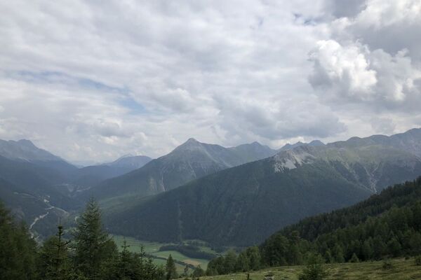
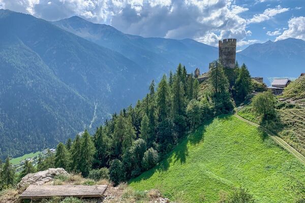
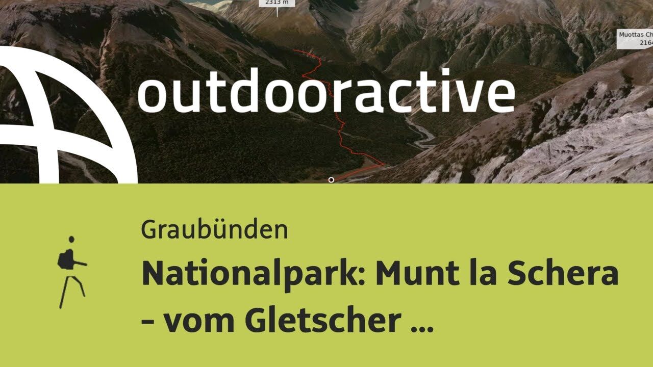
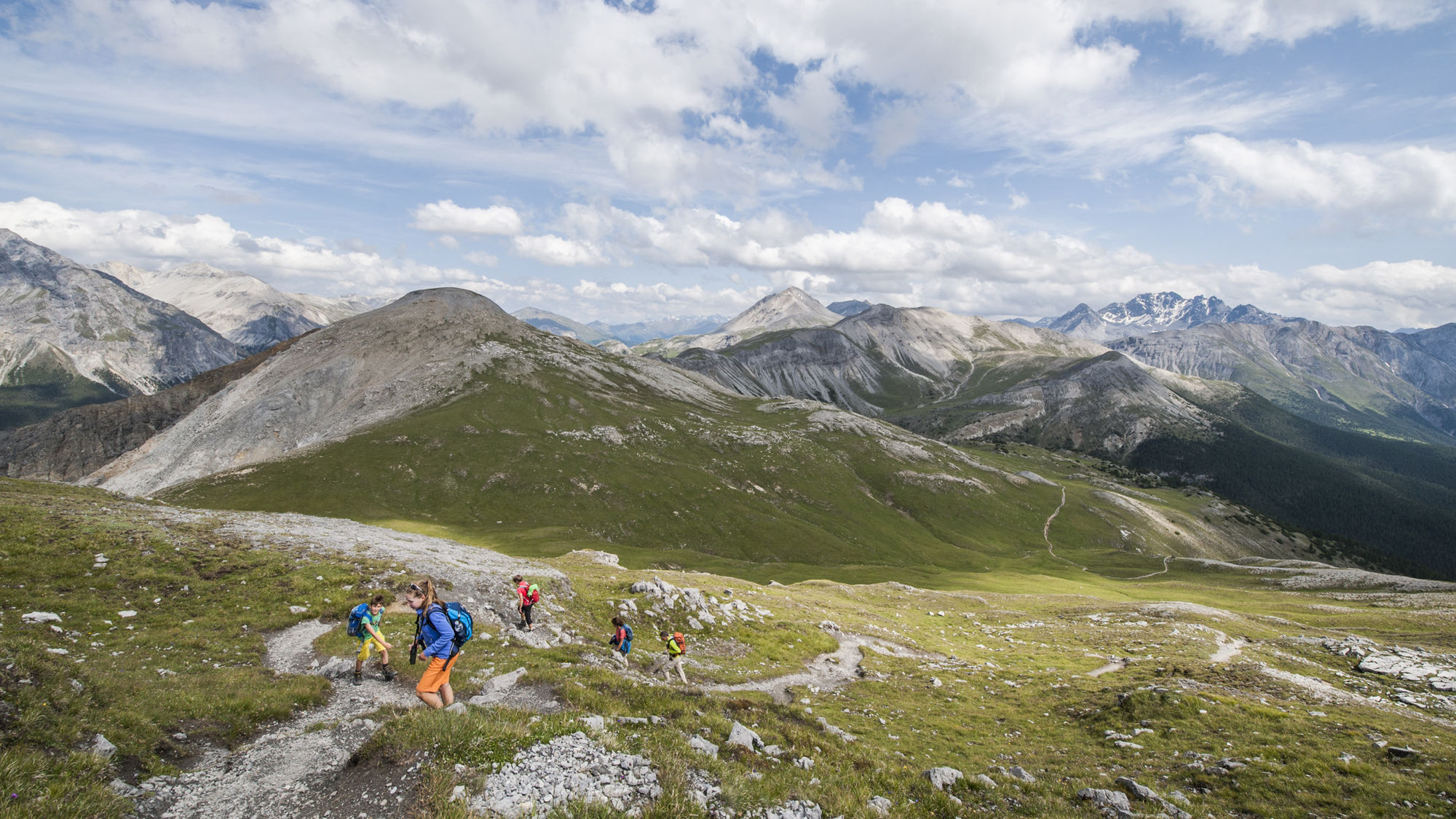
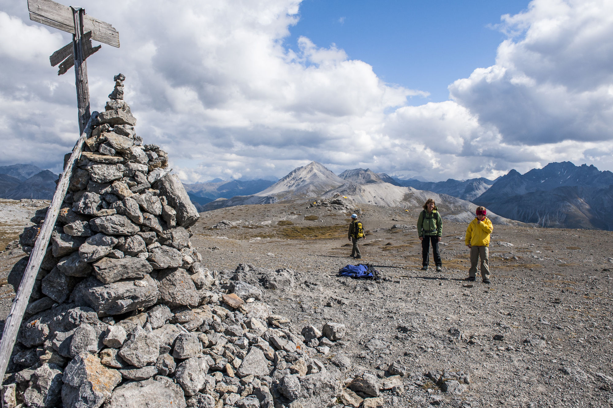
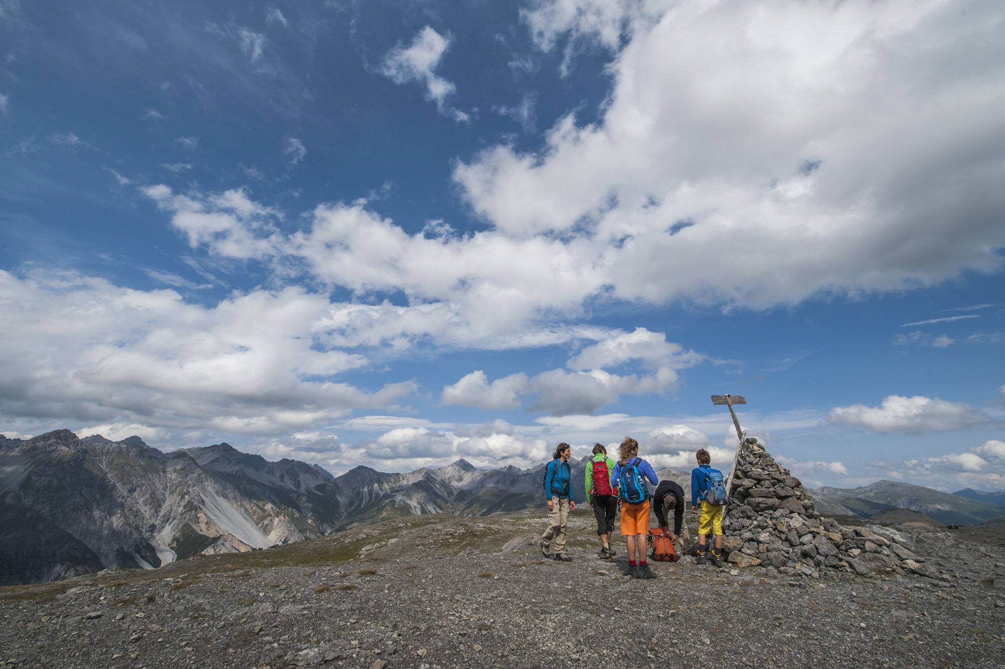
Diese Wanderung führt vom Schweizerischen Nationalpark in den Naturpark Biosfera Val Müstair. Eine untypische Steppenlandschaft mit einer wunderbaren Aussicht in Richtung Italien. Munt la Schera – vom Gletscher geformt.
- Vaikeus
-
tapa
- Arviointi
-
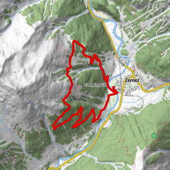
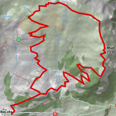
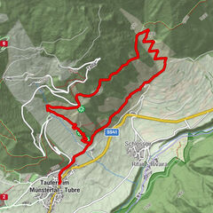
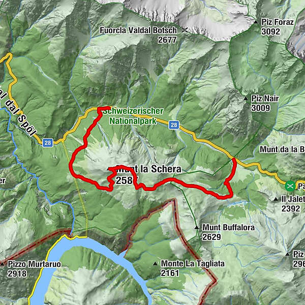
- Reitti
-
Il FuornMunt la Schera (2.587 m)5,8 km
- Paras kausi
-
tammihelmimaalishuhtitoukokesäheinäelosyyslokamarrasjoulu
- Korkein kohta
- 2.578 m
- Kohde
-
PostAuto-Haltestelle «Il Fuorn (P6)» (1794 m ü. M.)
- Korkeusprofiili
-
 © outdooractive.com
- Kirjoittaja
-
Kiertue Nationalpark: Munt la Schera käyttää outdooractive.com toimitettu.
GPS Downloads


Yleistä tietoa
Virvokepysäkki
Kulttuuri/Historiallinen
Flora
Fauna
Lupaava
Lisää retkiä alueilla
-
Biosfera Val Müstair
565
-
Tschierv
148