© Engadin Samnaun Val Müstair - Dominik Täuber
© Engadin Samnaun Val Müstair - Dominik Täuber

- Lyhyt kuvaus
-
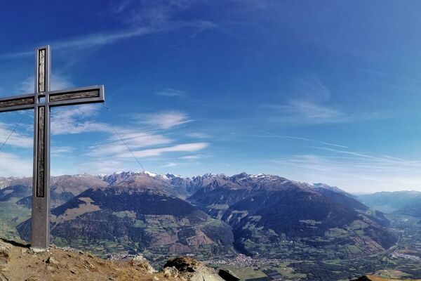
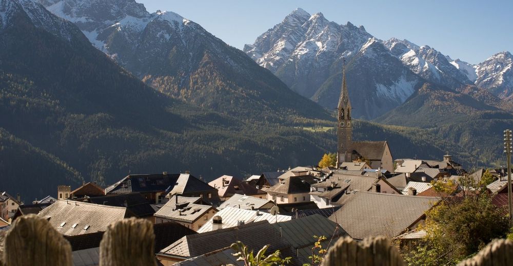
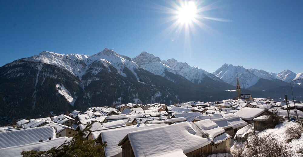
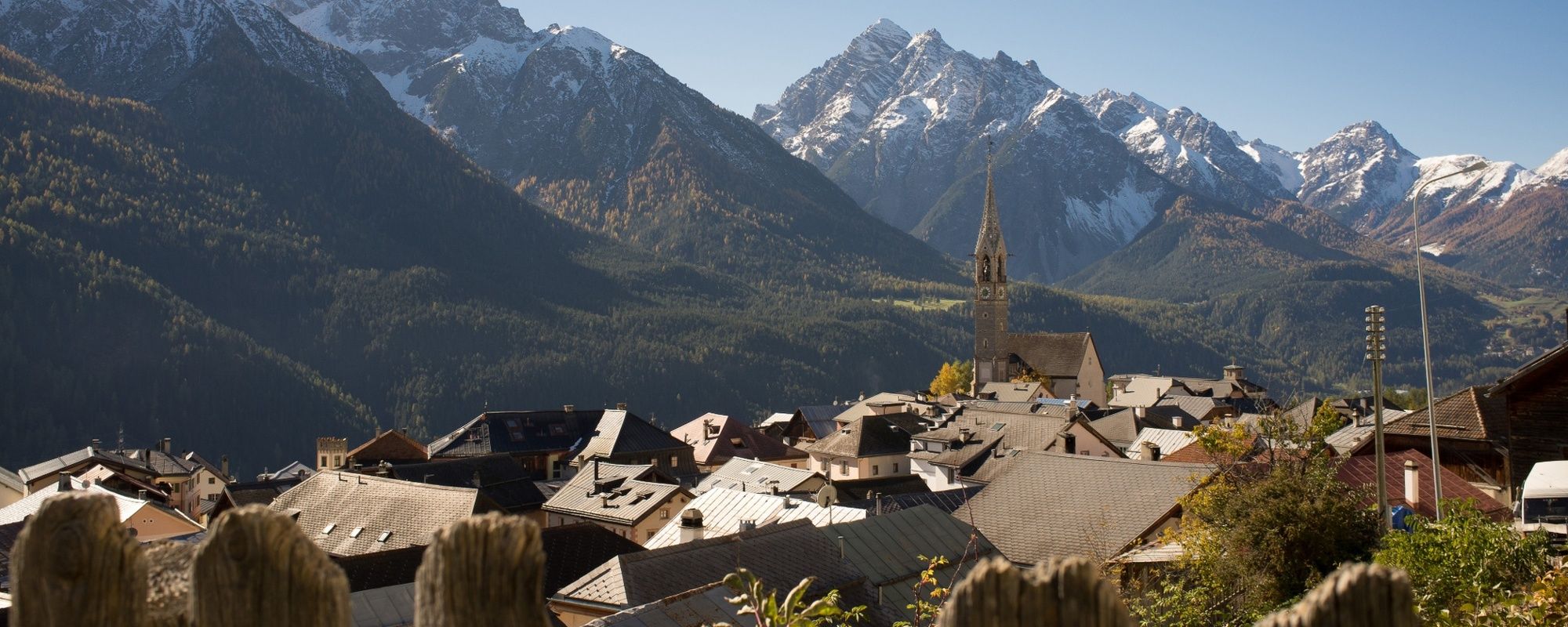
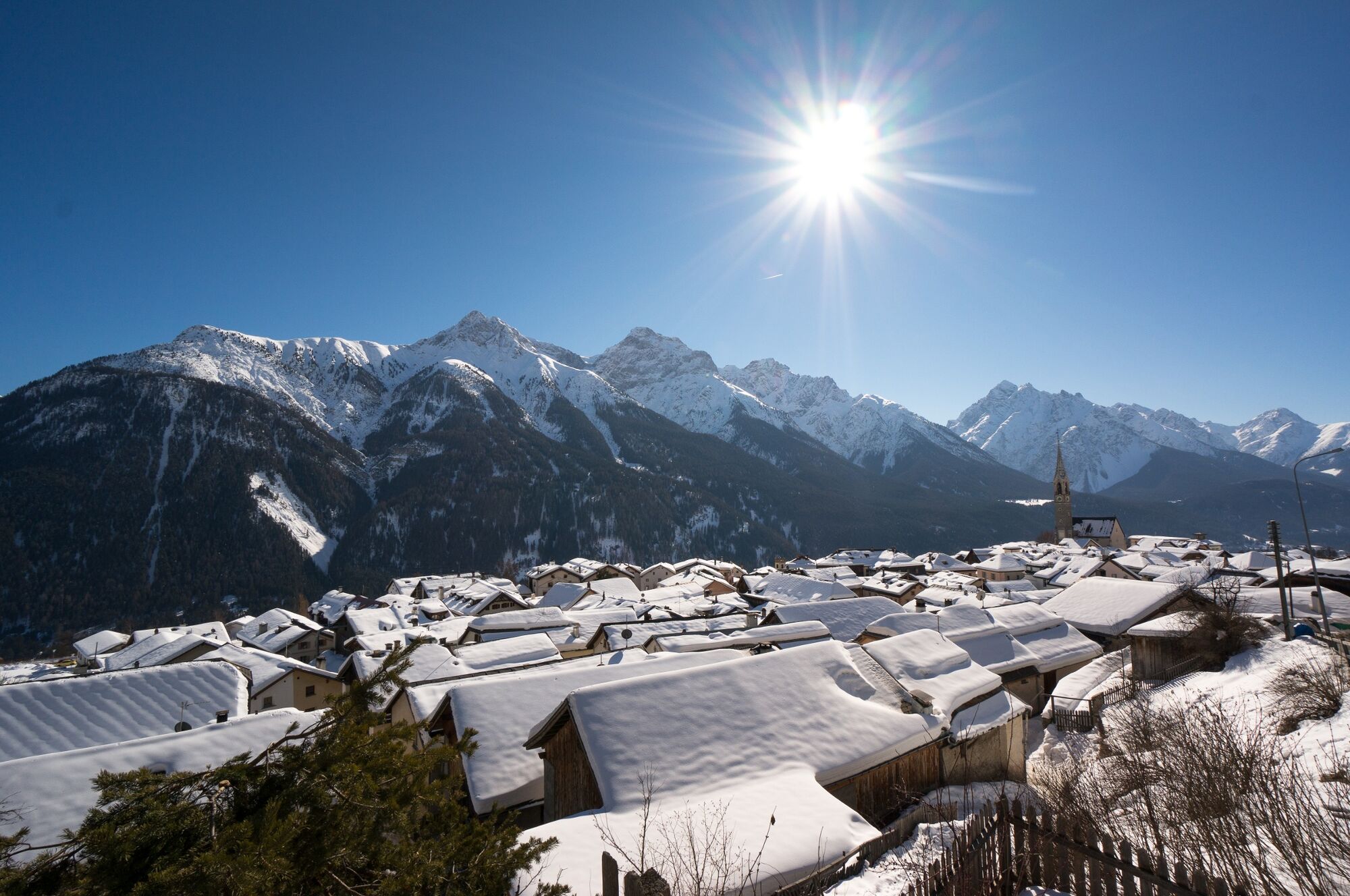
Beautiful views over the Lower Engadine. Especially during dusk you can often see many deer in the meadows. Also very suitable for jogging.
- Vaikeus
-
helppo
- Arviointi
-
- Reitti
-
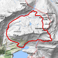
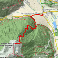
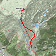
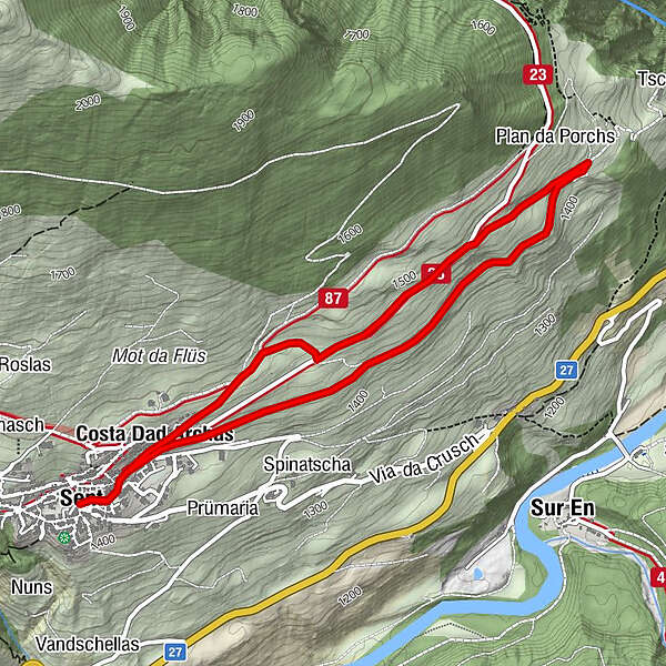
Sins (1.440 m)0,0 kmTuols0,3 kmCosta Dad Archas0,4 kmBös-ch Grond4,4 kmCosta Dad Archas4,5 kmTuols4,7 kmSins (1.440 m)5,0 km
- Paras kausi
-
tammihelmimaalishuhtitoukokesäheinäelosyyslokamarrasjoulu
- Korkein kohta
- 1.491 m
- Kohde
-
PostBus stop Sent, Plaz
- Korkeusprofiili
-
 © outdooractive.com
- Kirjoittaja
-
Kiertue Sent - Bain Tschern (Circular Route) käyttää outdooractive.com toimitettu.
GPS Downloads


Yleistä tietoa
Fauna
Lupaava
Lisää retkiä alueilla
-
Vinschgau
1278
-
Engadin Scuol Zernez
730
-
Sent
140