© Lahntal Tourismus Verband e. V. - Naturpark Lahn-Dill-Bergland

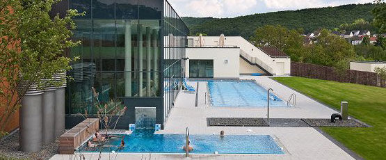
© Bad Endbach - Lahn-Dill-Bergland-Therme

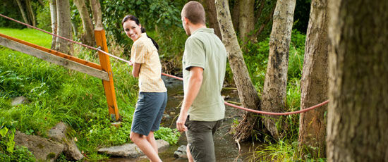
© Lahntal Tourismus Verband e. V. - Naturpark Lahn-Dill-Bergland

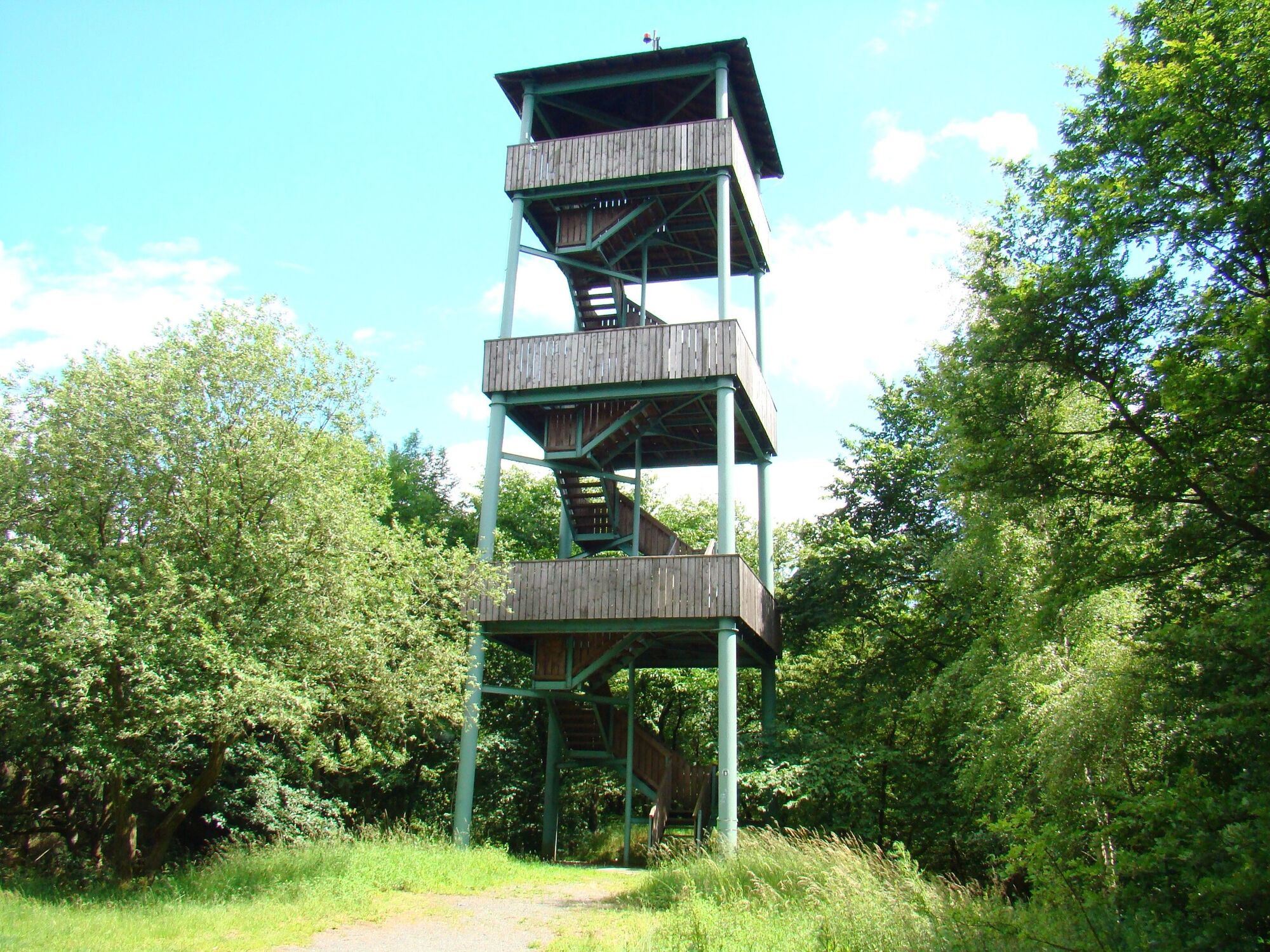
© Lahntal Tourismus Verband e. V. - Naturpark Lahn-Dill-Bergland

- Lyhyt kuvaus
-
Startpunkt:
Geschäftsstelle des Naturpark Lahn-Dill-Bergland
GPS-Koordinaten: N 50°45'8.82'', O 8°29'43.72"
UTM Koordinaten: 32U 464409/5622399 - Vaikeus
-
tapa
- Arviointi
-
- Reitti
-
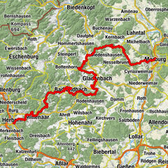
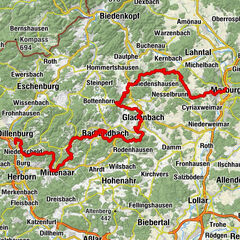
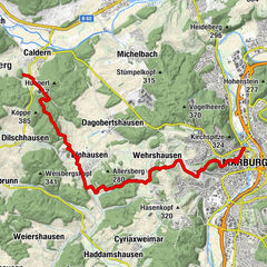
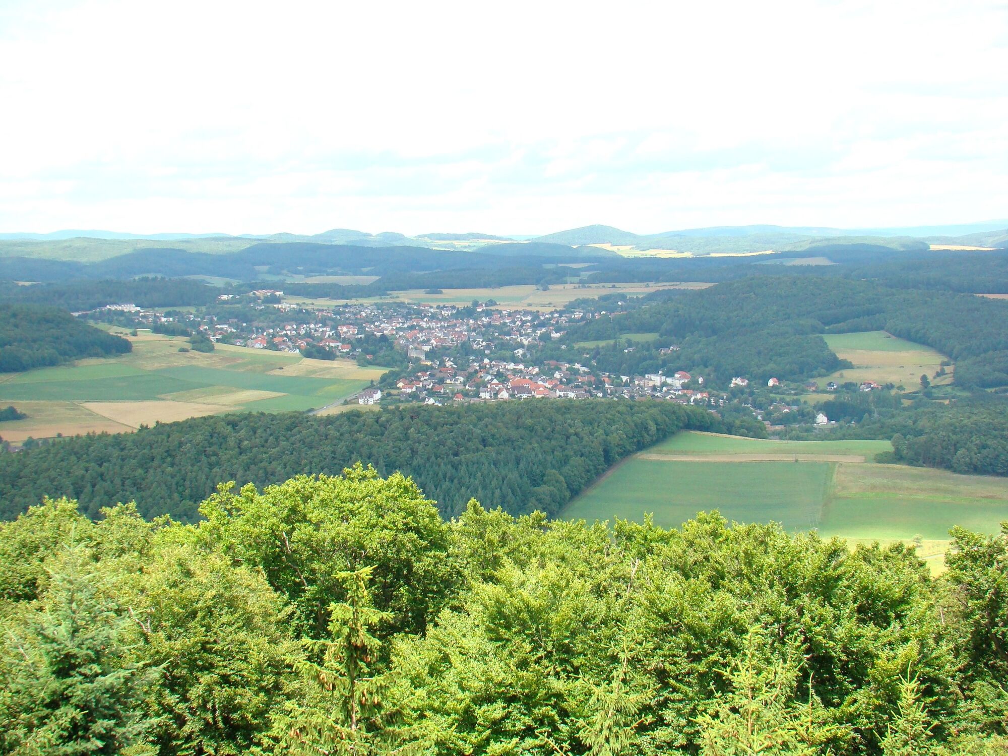
Bad Endbach0,1 kmRaven-Brüder0,2 kmSpitzacker0,5 kmIn der Welsebach0,6 kmFriedhofskapelle0,6 kmIn der Gasse1,1 kmIm Litzeshütchen1,8 kmAm Kopf2,1 kmAuf der Gemeinde2,9 kmAm hohen Wald3,1 kmAuf dem hohen Wald3,3 kmKoppe (461 m)10,4 kmErdhausen13,3 kmEvangelische Kirche Erdhausen13,3 kmKünstlerhaus Lenz14,1 kmLammerich (356 m)16,6 kmGladenbach (262 m)17,4 kmMaria Heiligen Kirche17,6 km
- Paras kausi
-
tammihelmimaalishuhtitoukokesäheinäelosyyslokamarrasjoulu
- Korkein kohta
- 461 m
- Kohde
-
Haus des Gastes in Gladenbach
- Korkeusprofiili
-
 © outdooractive.com
-
-
KirjoittajaKiertue LDB-Pfad 3 Bad Endbach-Gladenbach käyttää outdooractive.com toimitettu.
GPS Downloads


Yleistä tietoa
Virvokepysäkki
Flora
Fauna
Lupaava
Lisää retkiä alueilla
-
Lahntal / Hessen
457
-
Gleiberger Land
183
-
Bad Endbach
50