
© Kniewasser

© Kniewasser
Retkitiedot
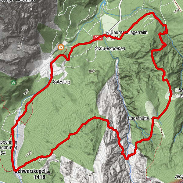
9,29km
719
- 1.414m
718hm
706hm
05:00h
- Lyhyt kuvaus
-
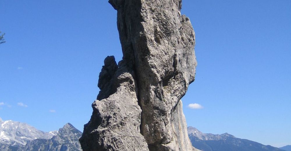
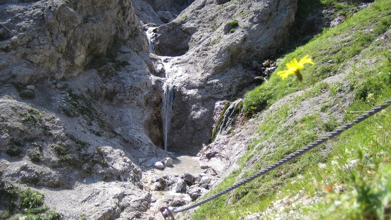
Panoramawanderung; Bergerfahrung und Schwindelfreiheit erforderlich!
- Vaikeus
-
vaikea
- Arviointi
-
- Lähtöpiste
-
Gasthaus Baumschlagerreith
- Reitti
-
Almgasthof Baumschlagerreith0,0 kmAlmgasthof Baumschlagerreith9,2 km
- Paras kausi
-
tammihelmimaalishuhtitoukokesäheinäelosyyslokamarrasjoulu
- Korkein kohta
- 1.414 m
- Lepo/Retriitti
-
GH Bauschlagerreith
- Karttamateriaali
-
Wanderkarte Pyhrn-Priel erhältlich in allen Pyhrn-Priel Tourismusbüros!

GPS Downloads


Polun olosuhteet
Asfaltti
Sora
Niitty
Metsä
Kallio
Altistettu
Lisää retkiä alueilla


