© Unbekannt
- Lyhyt kuvaus
-
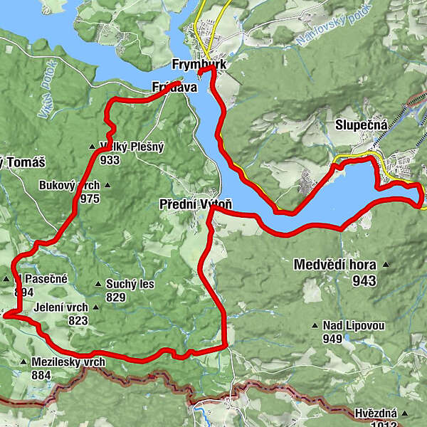
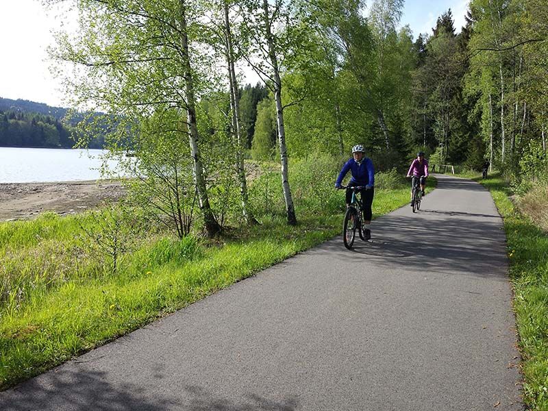
Would you like to know something about recent history before 1989? Part of this cycle route leads along the so-called former Iron Curtain, which made travel and sightseeing impossible. Thankfully, that time is long gone. The cycle path takes you, among other things, to the untouched border of the Bohemian Forest and is really worth a ride. If you want to avoid the climb, go to Přední Výtoň at the crossroads to Vítkov Hrádek. Here it goes from the hill and to Frýdava almost along the plain around Lipno Lake. For families with older children and experienced cyclists
map view: https://mapy.cz/s/lojupejedu - Vaikeus
-
tapa
- Arviointi
-
- Reitti
-
svatý BartolomějFriedberg0,1 kmU starého hřbitova0,7 kmU lískovců1,0 kmU skalky1,2 kmMarina7,5 kmDoky8,4 kmLipno nad Vltavou8,4 kmLippen8,7 kmRestaurace & Penzion Výtoň15,2 kmCycloDepot15,2 kmVorder Heuraffl15,3 kmehemalige Multerberger Waldhäuser22,3 kmRestaurace a Bistro Dobík Pasečná24,5 kmReiterschlag (827 m)25,4 kmKleiner Pleschen (918 m)30,6 kmFriedau33,3 km
- Paras kausi
-
tammihelmimaalishuhtitoukokesäheinäelosyyslokamarrasjoulu
- Korkein kohta
- 936 m
- Korkeusprofiili
-
 © outdooractive.com
- Kirjoittaja
-
Kiertue Border cycle path along the Iron Curtain käyttää outdooractive.com toimitettu.
GPS Downloads


Lisää retkiä alueilla
-
Mühlviertel
215
-
Mühlviertler Hochland
122
-
Helfenberg - Ahorn
45